DSCF0660

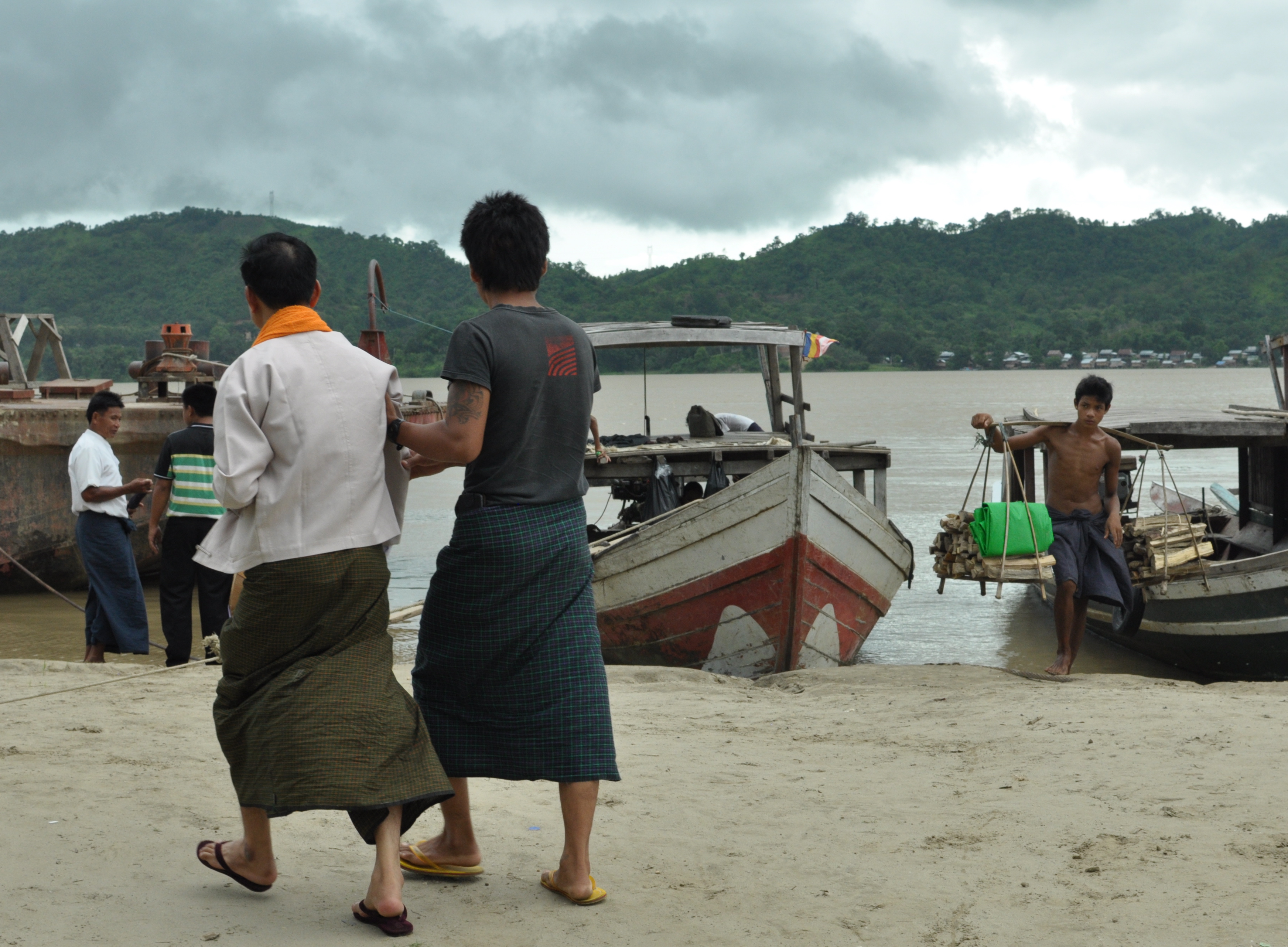
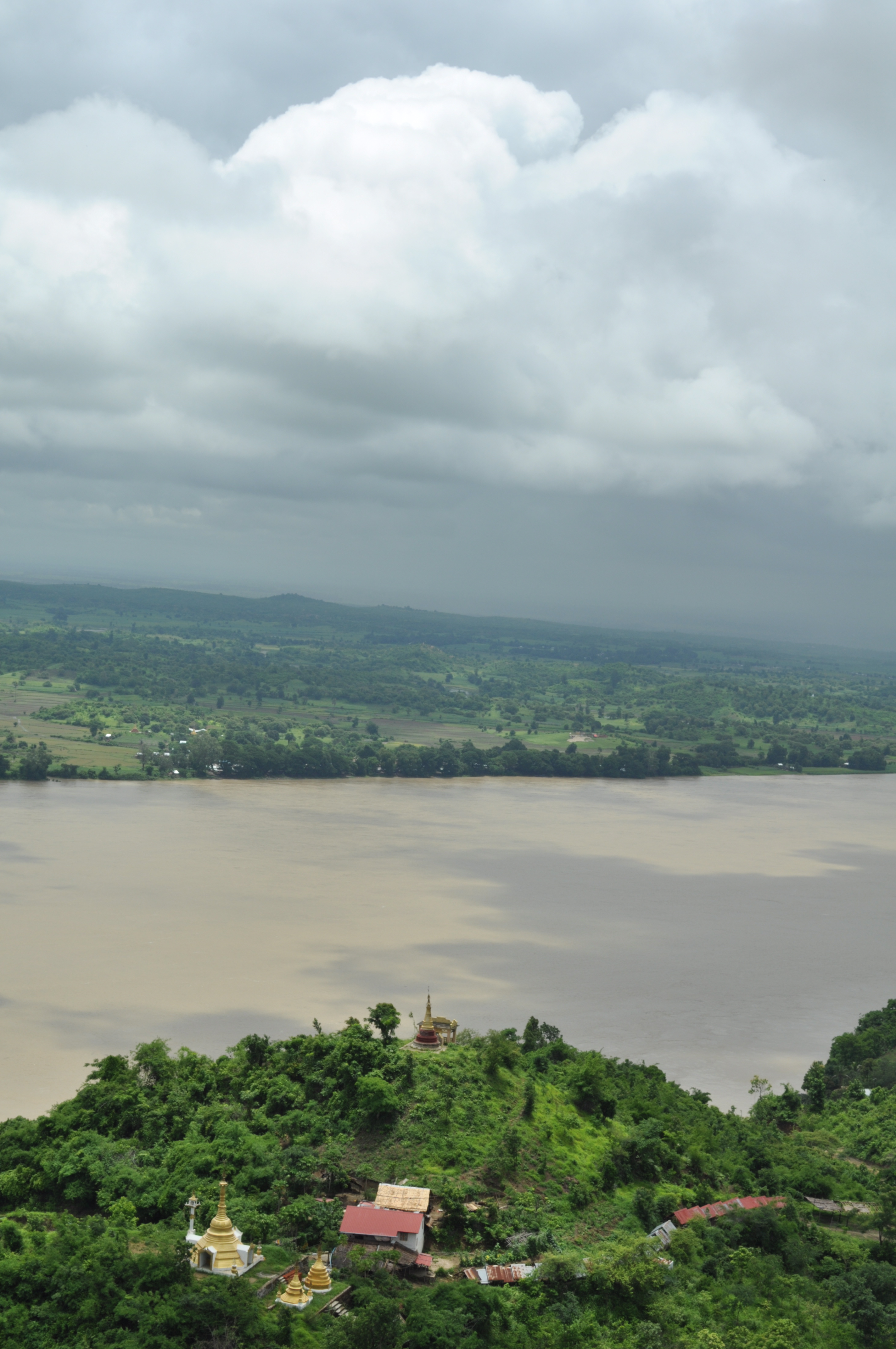
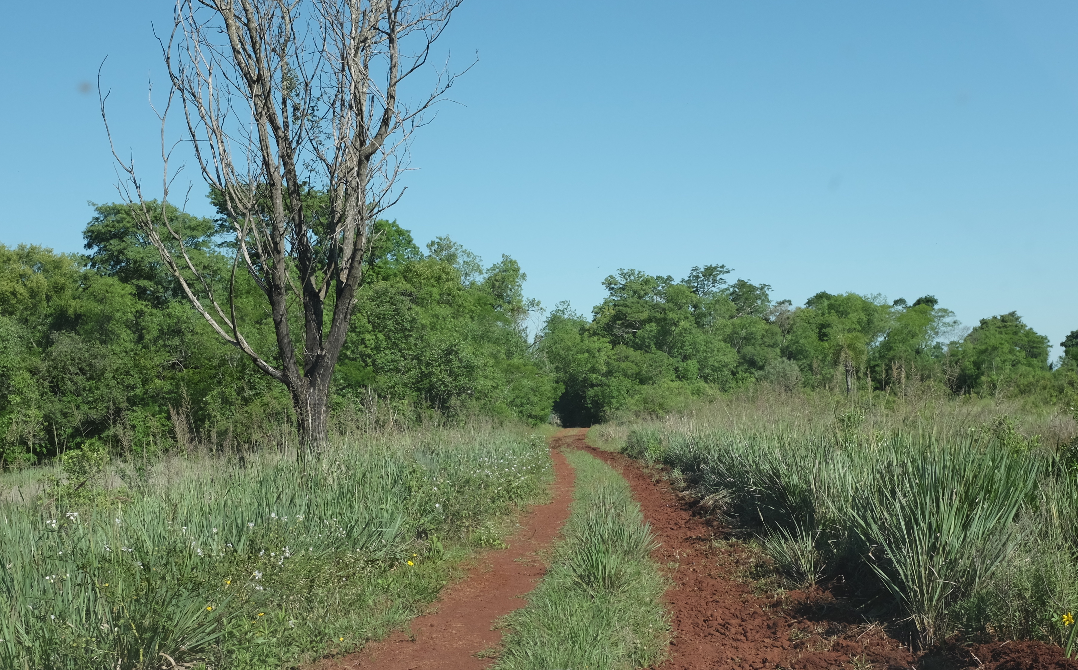
Argentines call this region ” la Mesopotamia” ( Greek for ” land between rivers”) because two of South America’s great rivers, the Parana and Uruguay, flow here flanking its boundaries before draining into the Rio de la Plata. Three provinces make up this region. The northern-most and smallest is Misiones. Here Argentina, the world’s 8th largest country, is reduced to a thumb-shaped land the size of Belgium squeezed between Paraguay and Brazil.

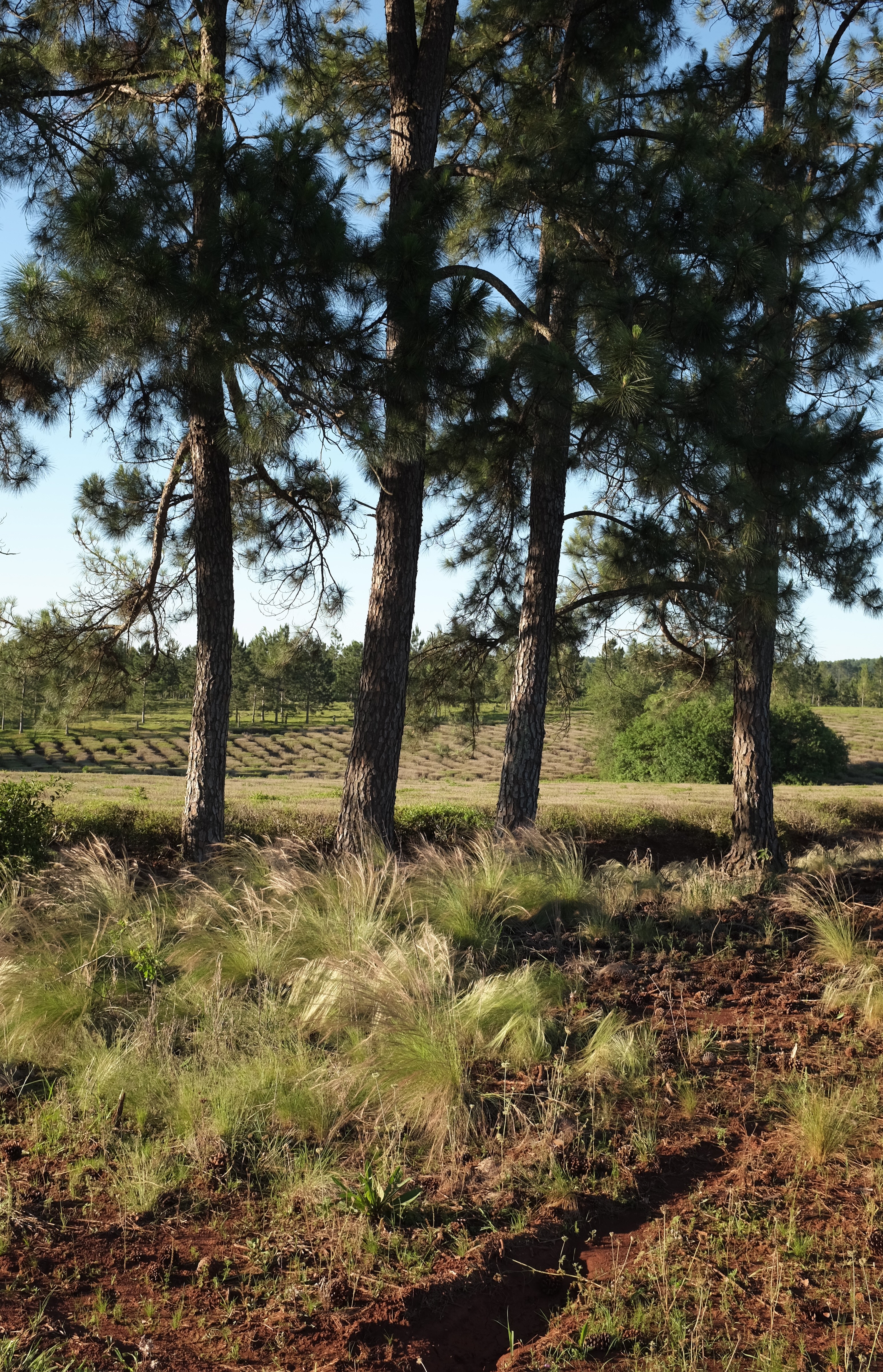
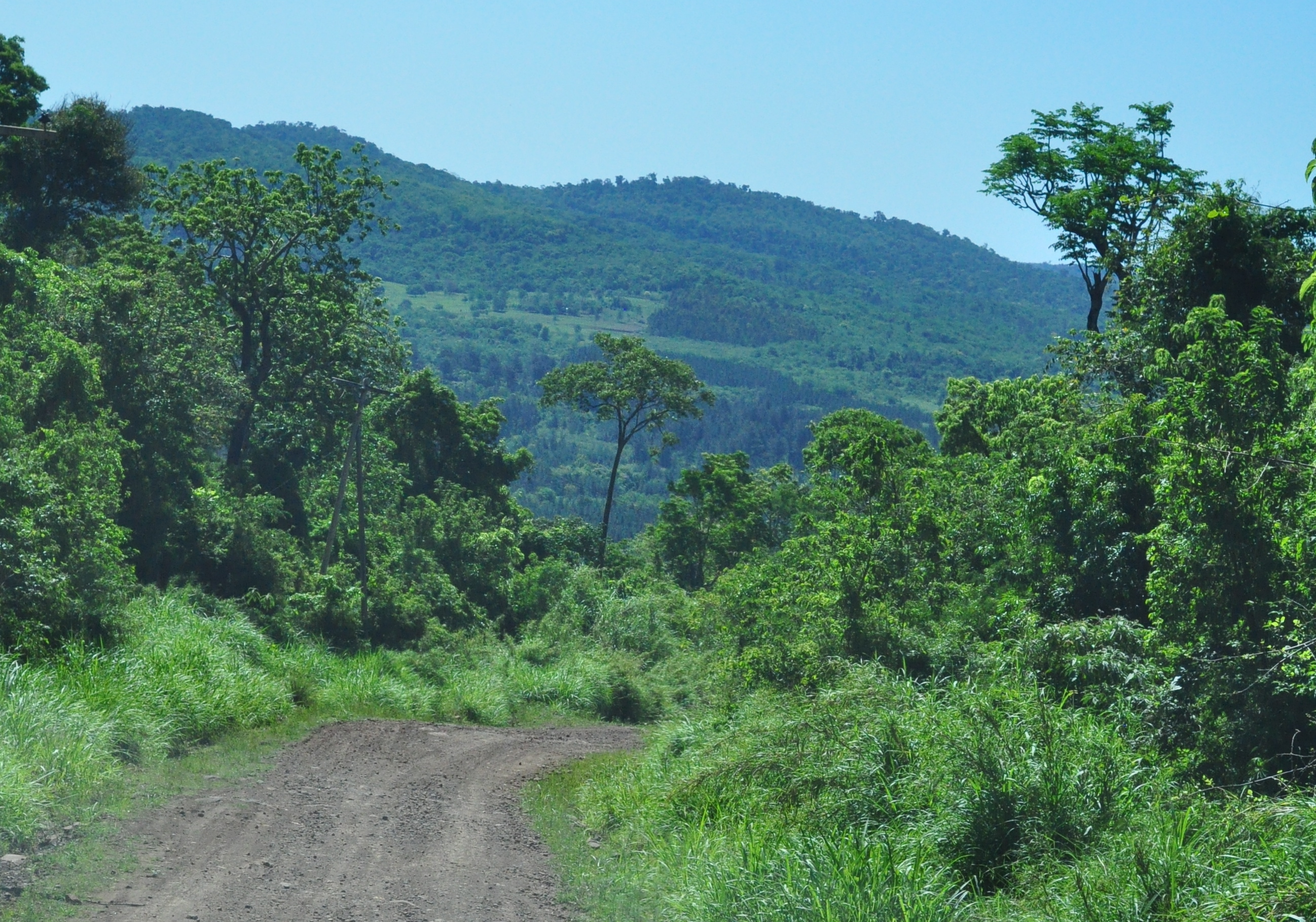
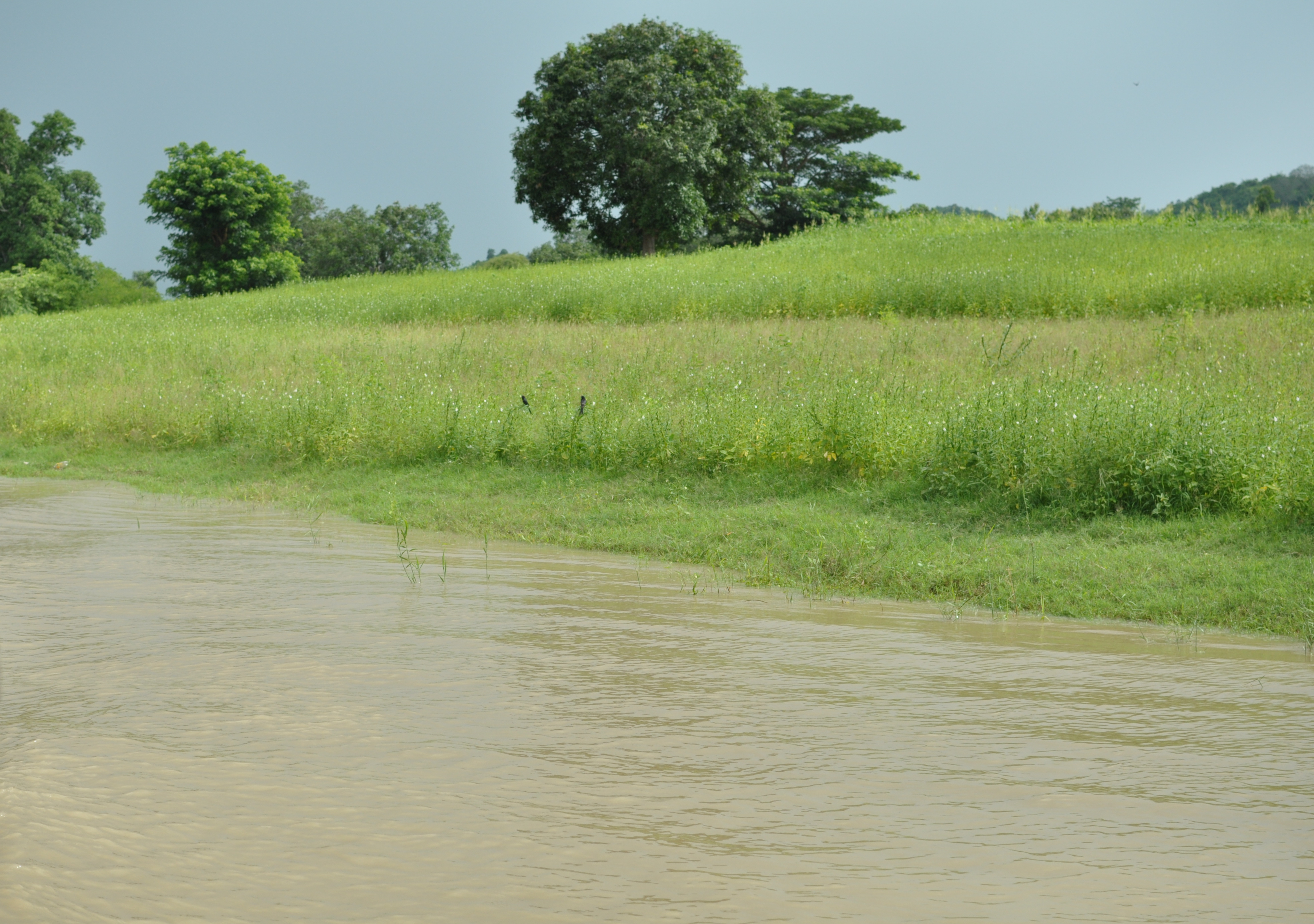
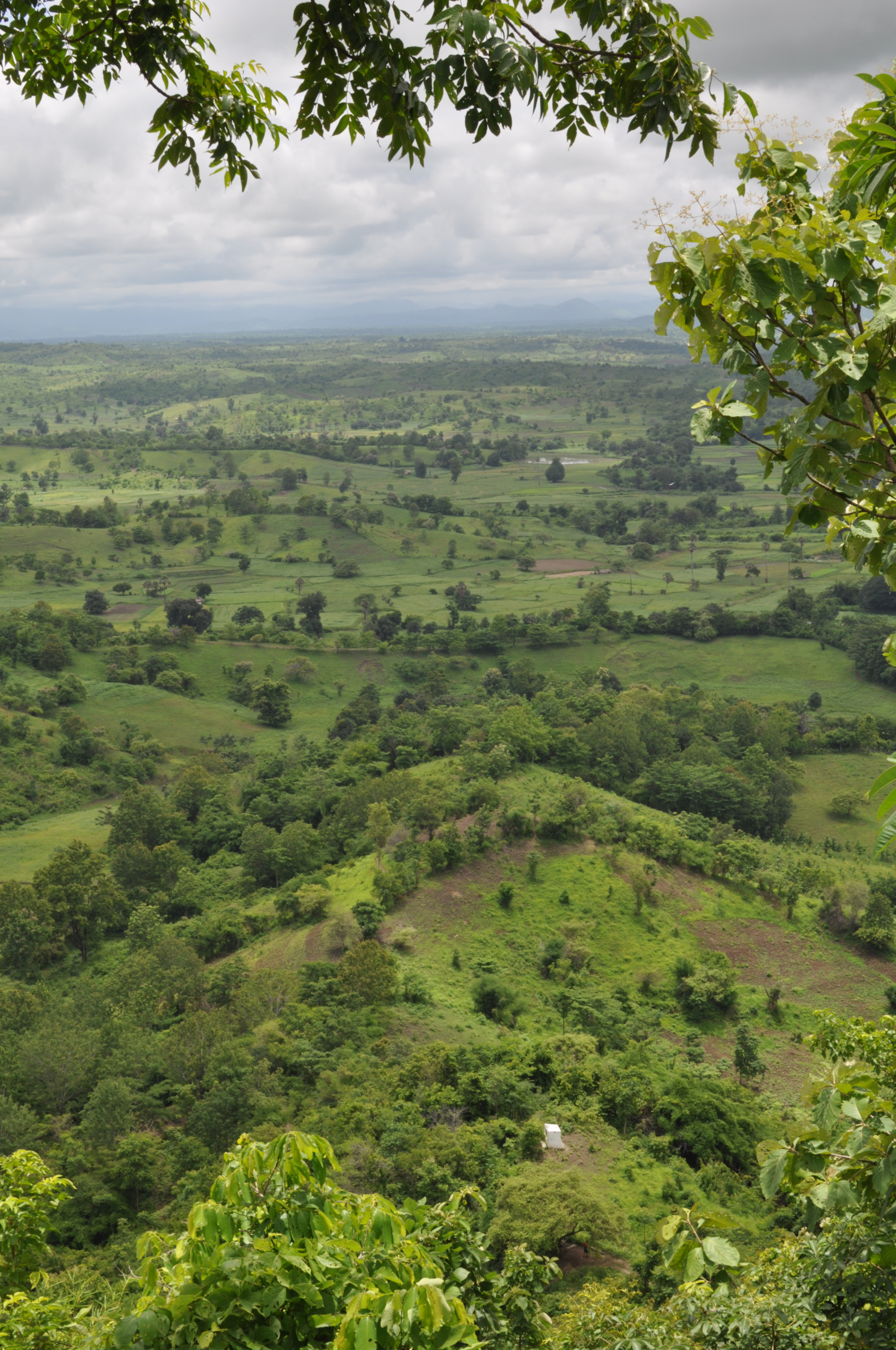
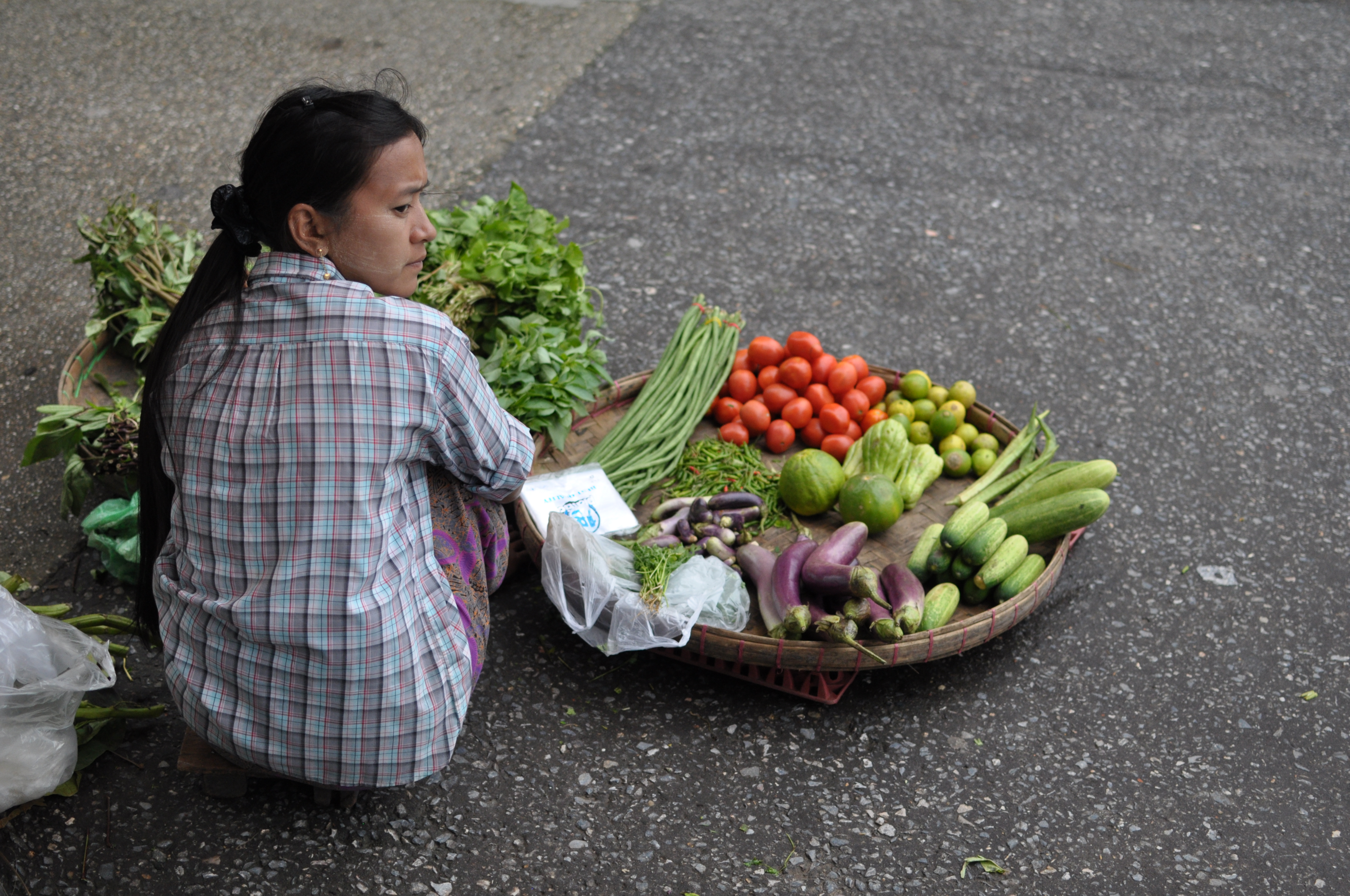
To local people, Misiones is la tierra colorada–  a subtropical arcadia of red nutrient rich soil supporting an eclectic flora of rainforest trees, exotic pines, tea and the province’s principal cash crop, yerba mate.

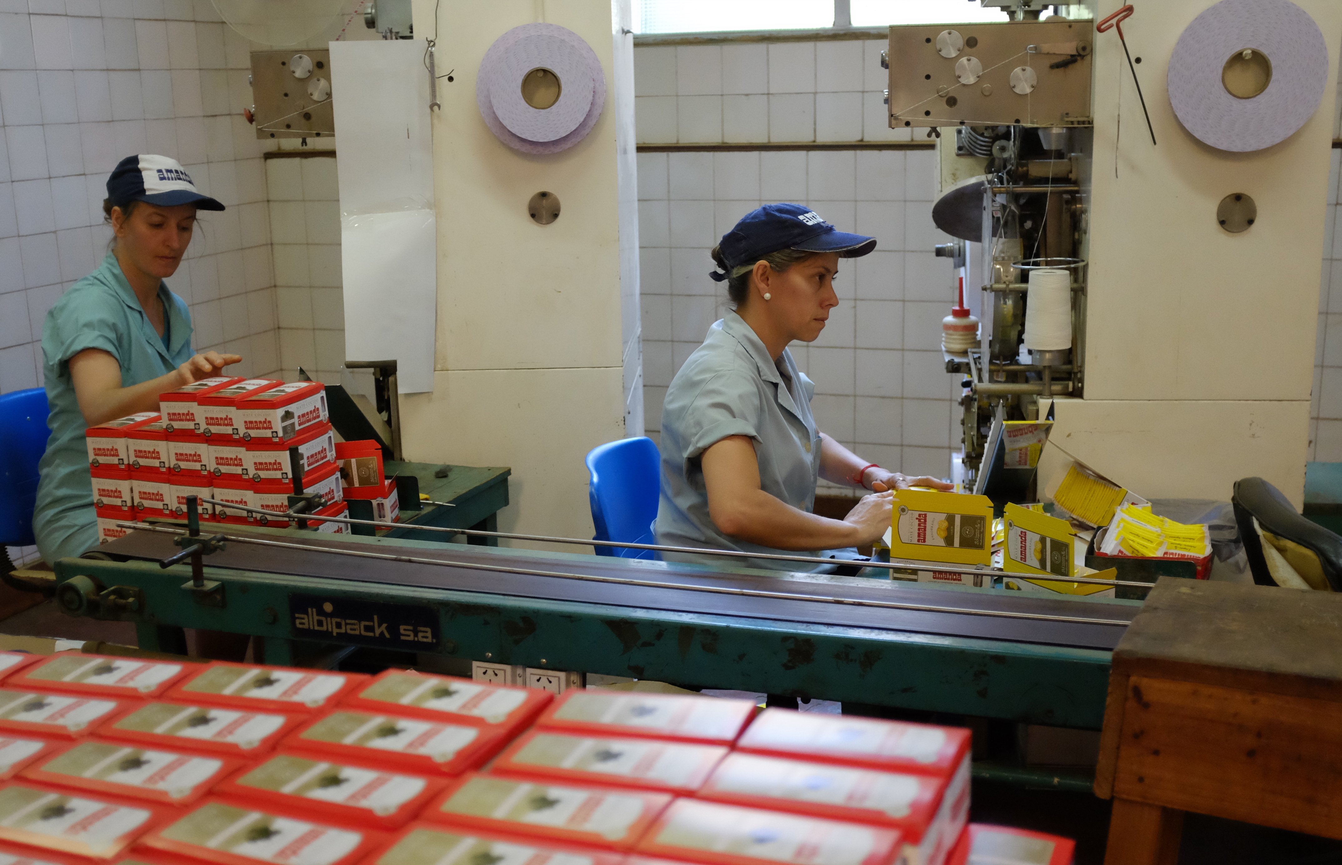
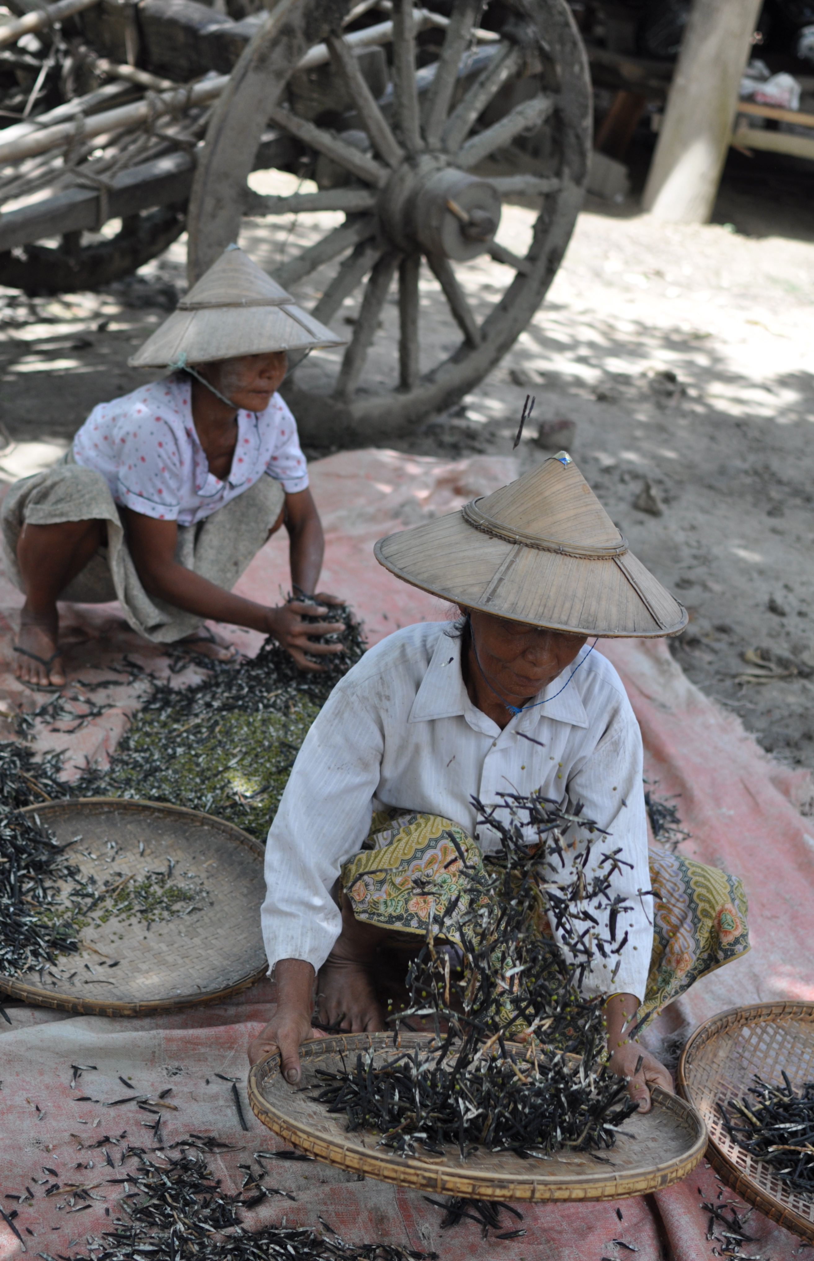
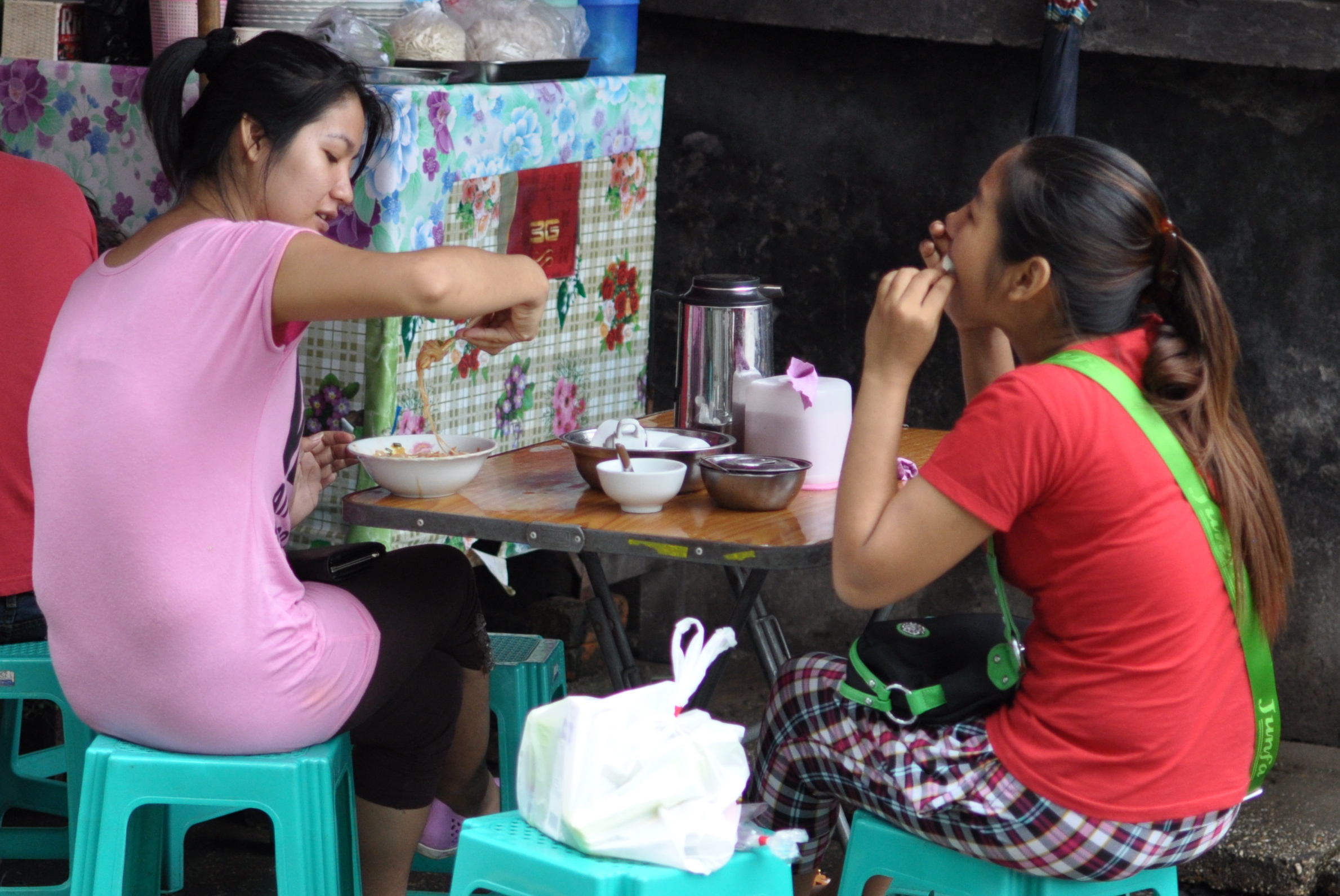
Yerba Mate, Argentina’s national beverage is grown often alongside  tea on a plantation scale in the province. Drank as an infusion of leaves with stems ( con palo) in a gourd shaped cup ( mate) with a metal straw ( bombilla) it initially tastes mildly of dried grass and aged woodchips.

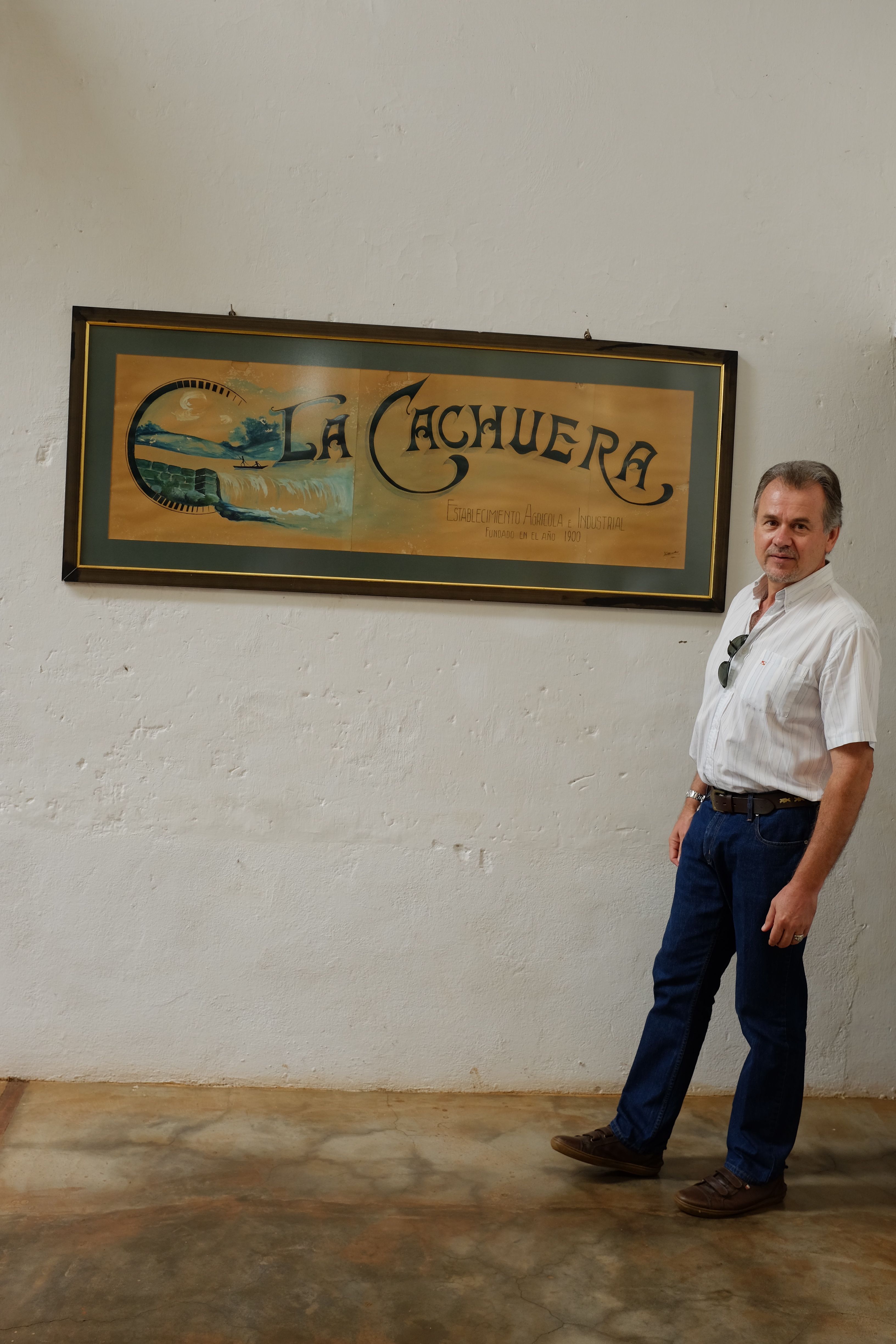
The story of yerba mate is also the story of Misiones as it was the missionary settlements (hence the name) founded by European Jesuit priests that led to the growing of yerba mate for commerce by the native Guarani people.

In the 17th century the Jesuits came to convert the area’s indigenous tribes to Catholicism. The Guarani were nomads but the Jesuits placed and protected them in settlements and taught them western agricultural methods and ways to domesticate the wild yerba mate plant. The Jesuits’ social and evangelical experiment ran against the policies of the Portuguese and Spanish governments who relied on captured Guarani slaves to work the colonial plantations. This clash led eventually to the expulsion of the Jesuit Order from the Latin American colonies and destruction and abandonment of the missions.

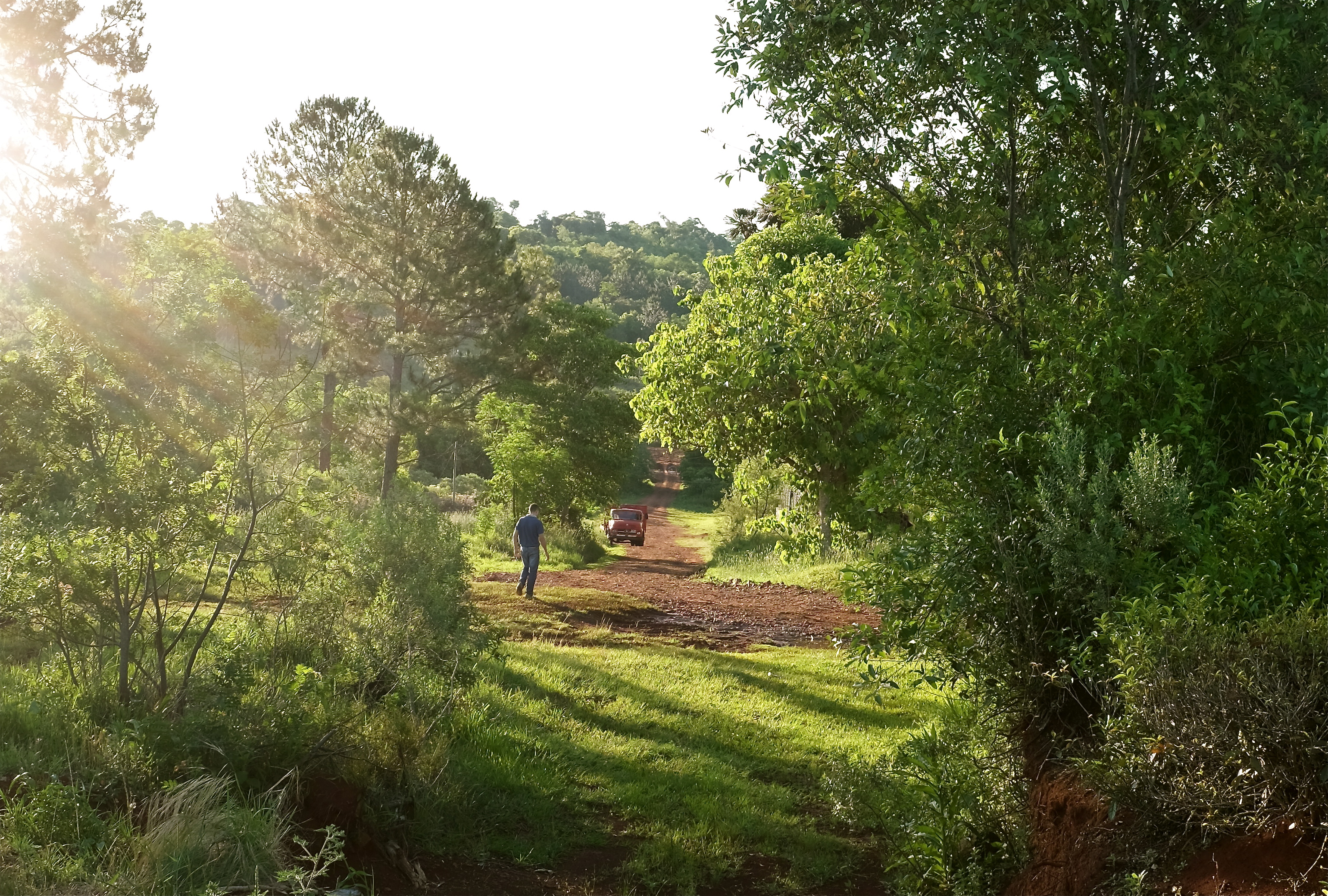
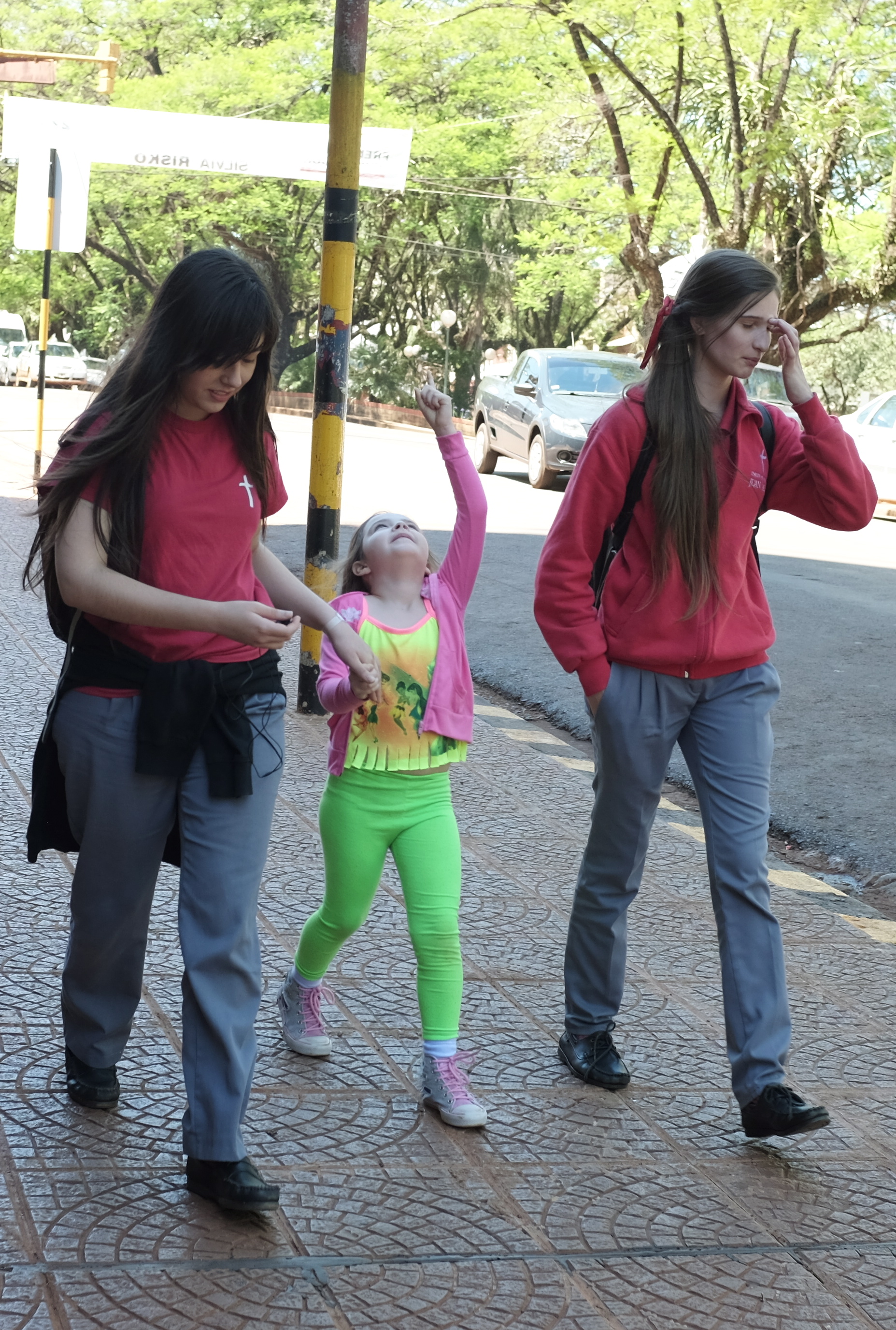
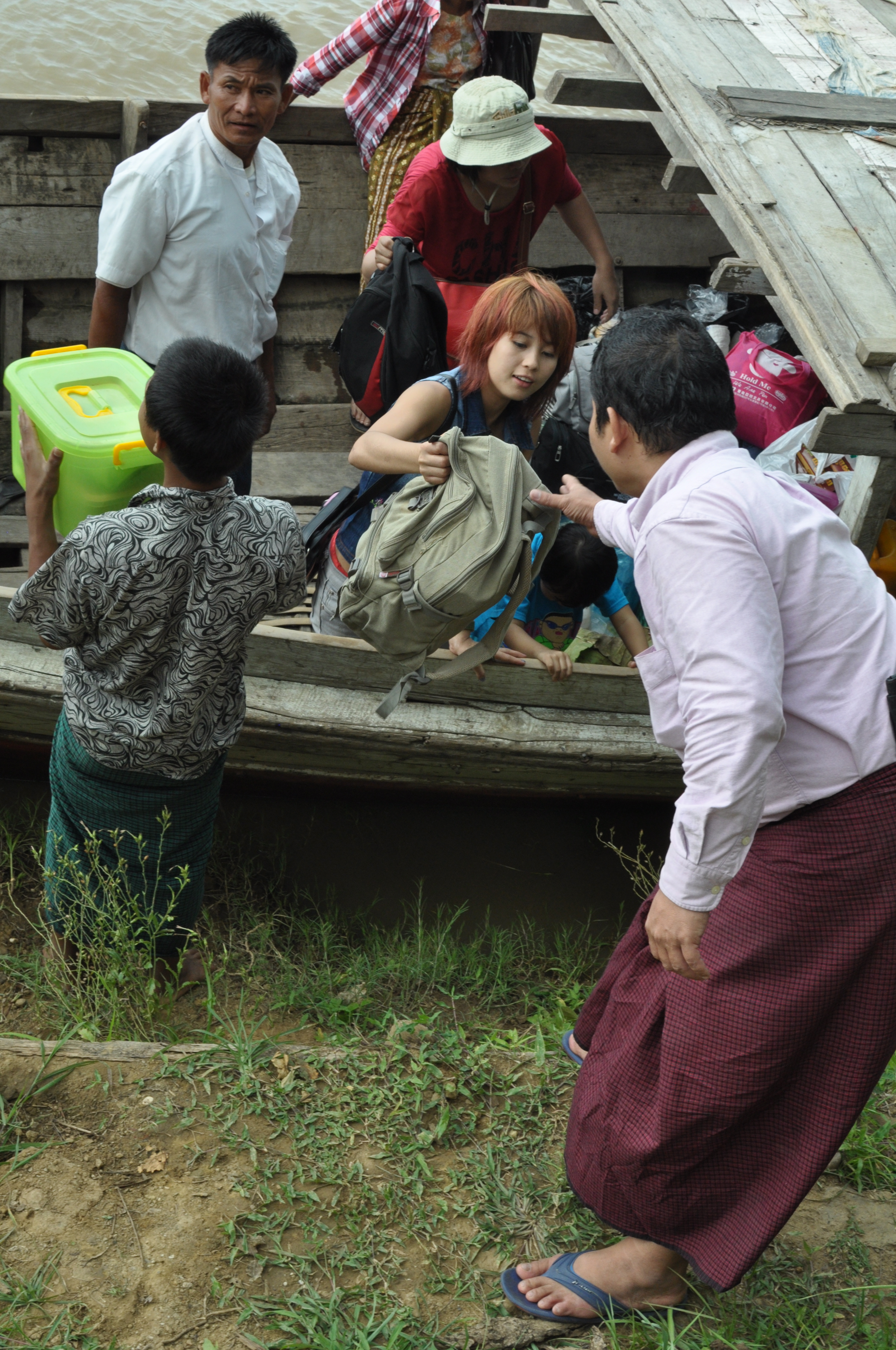
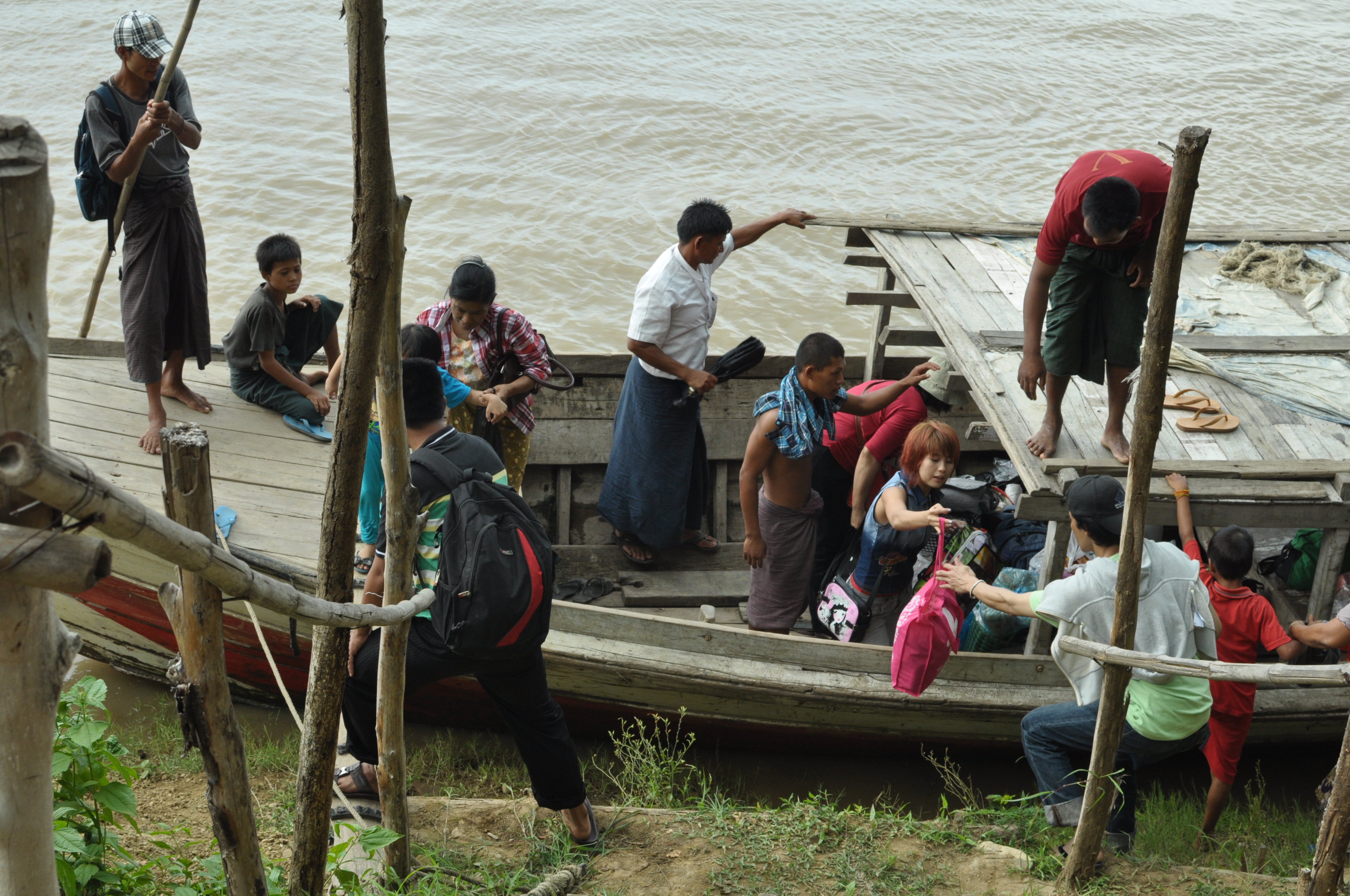
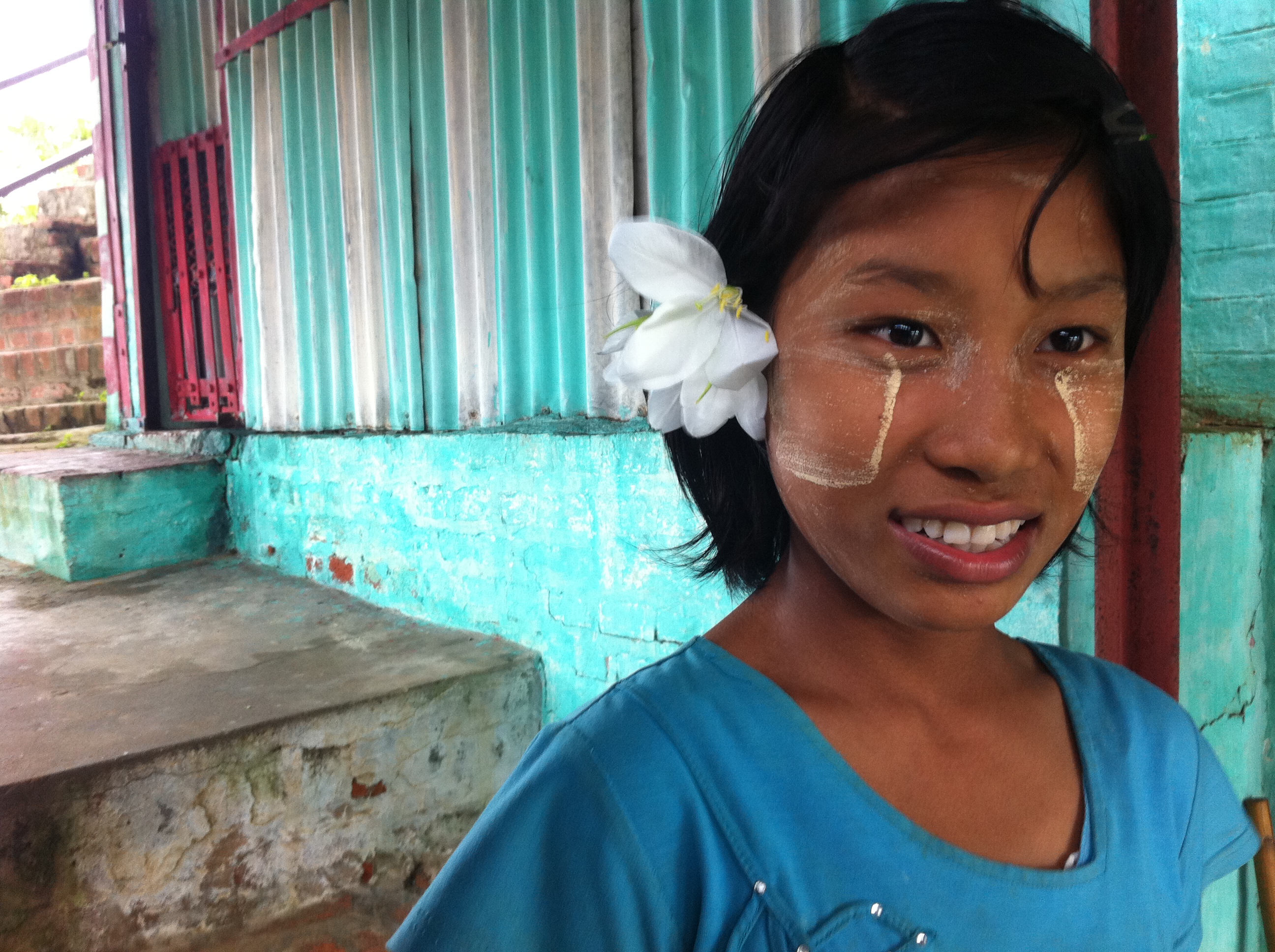
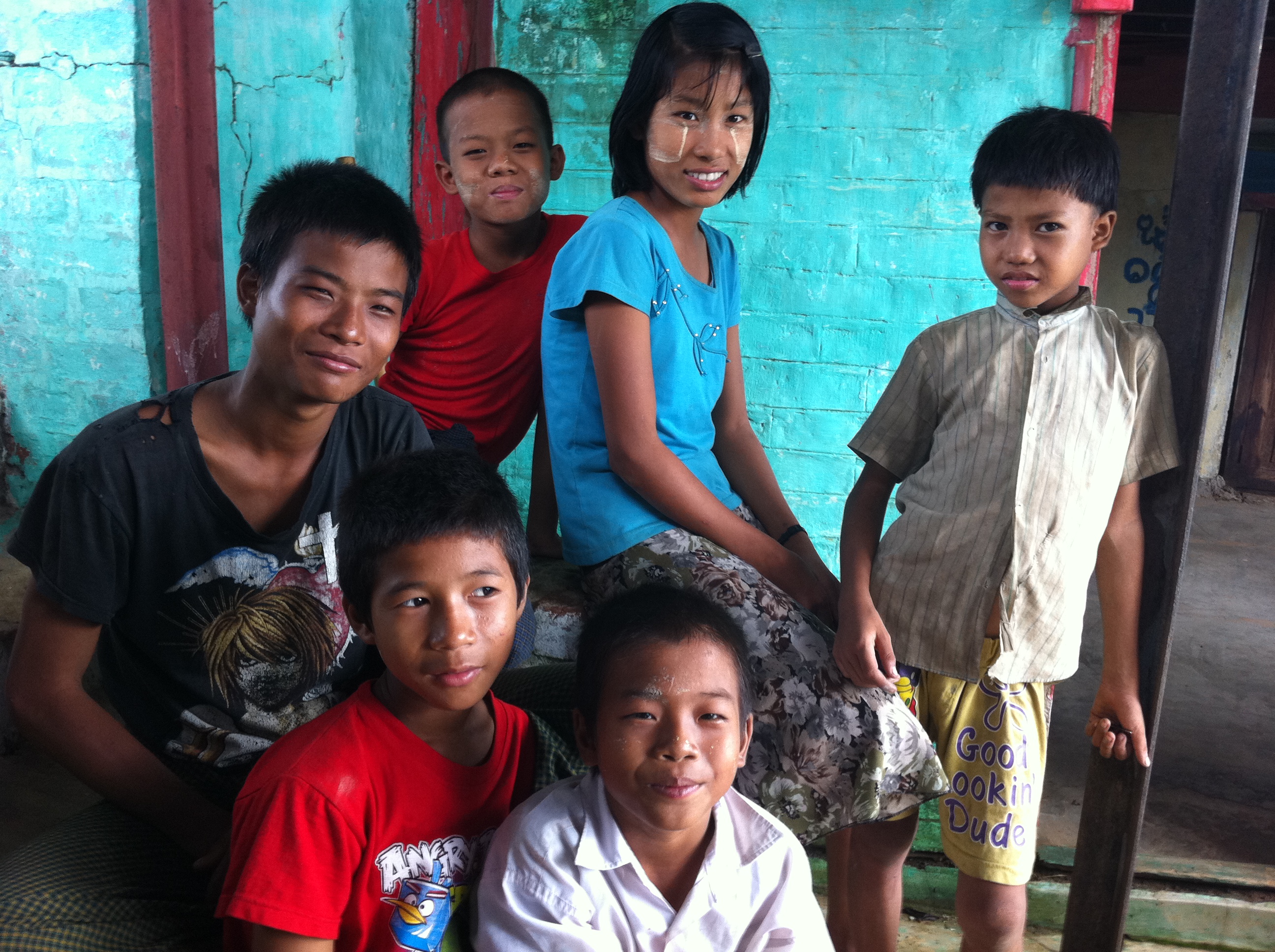
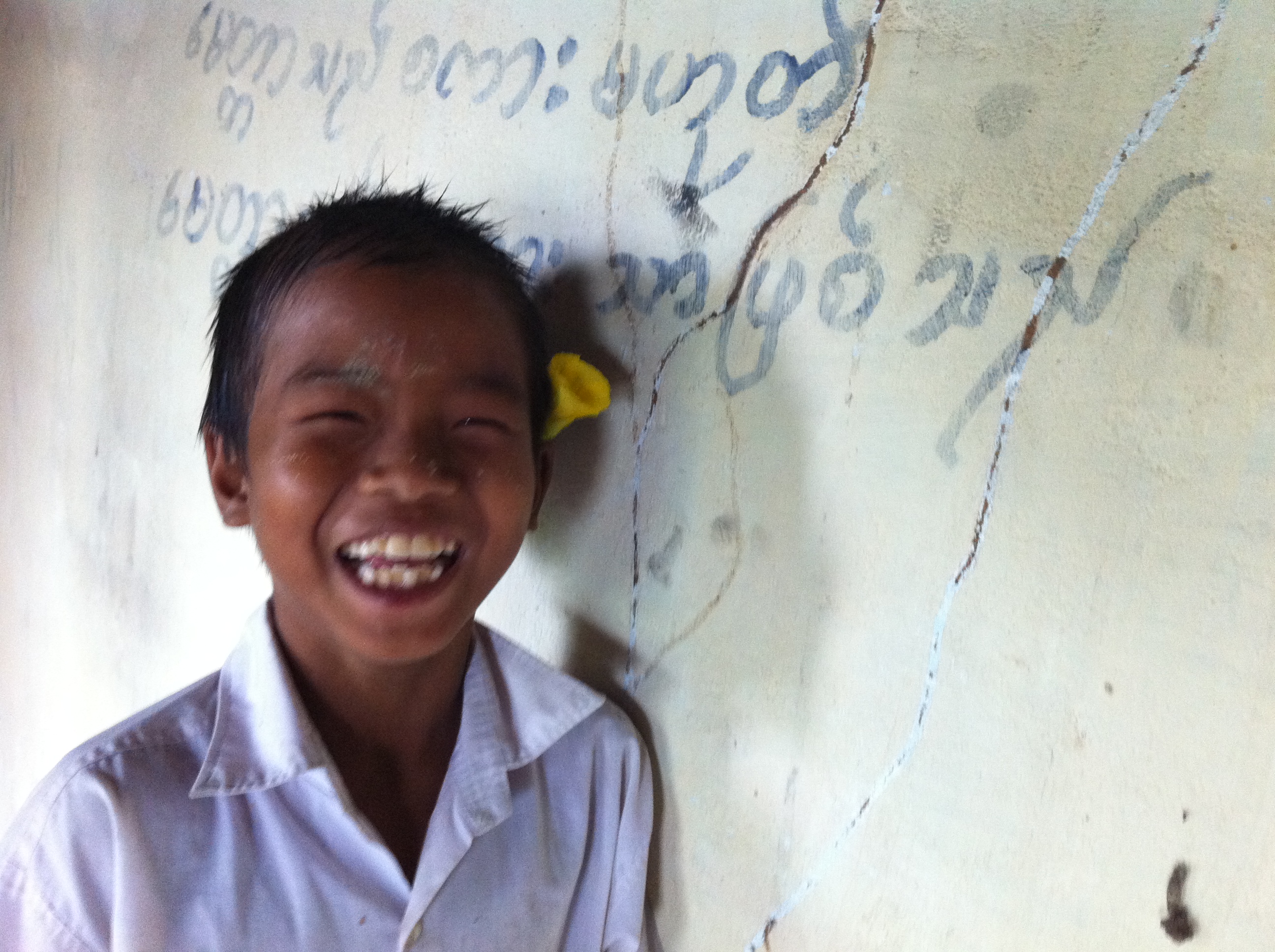
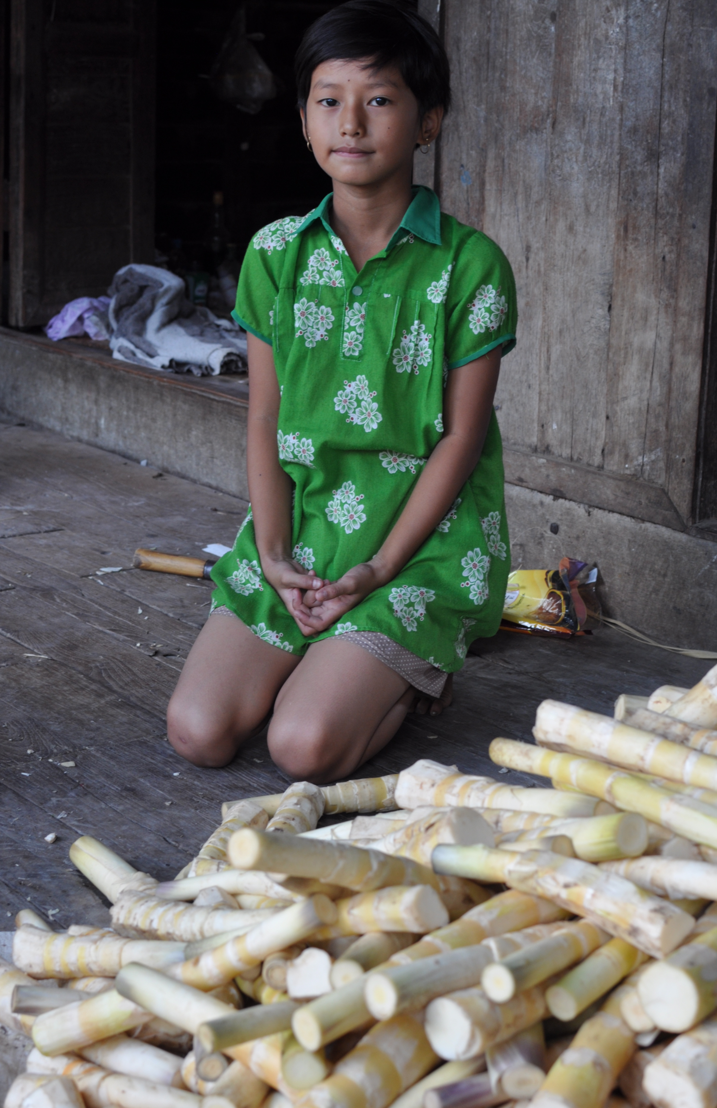
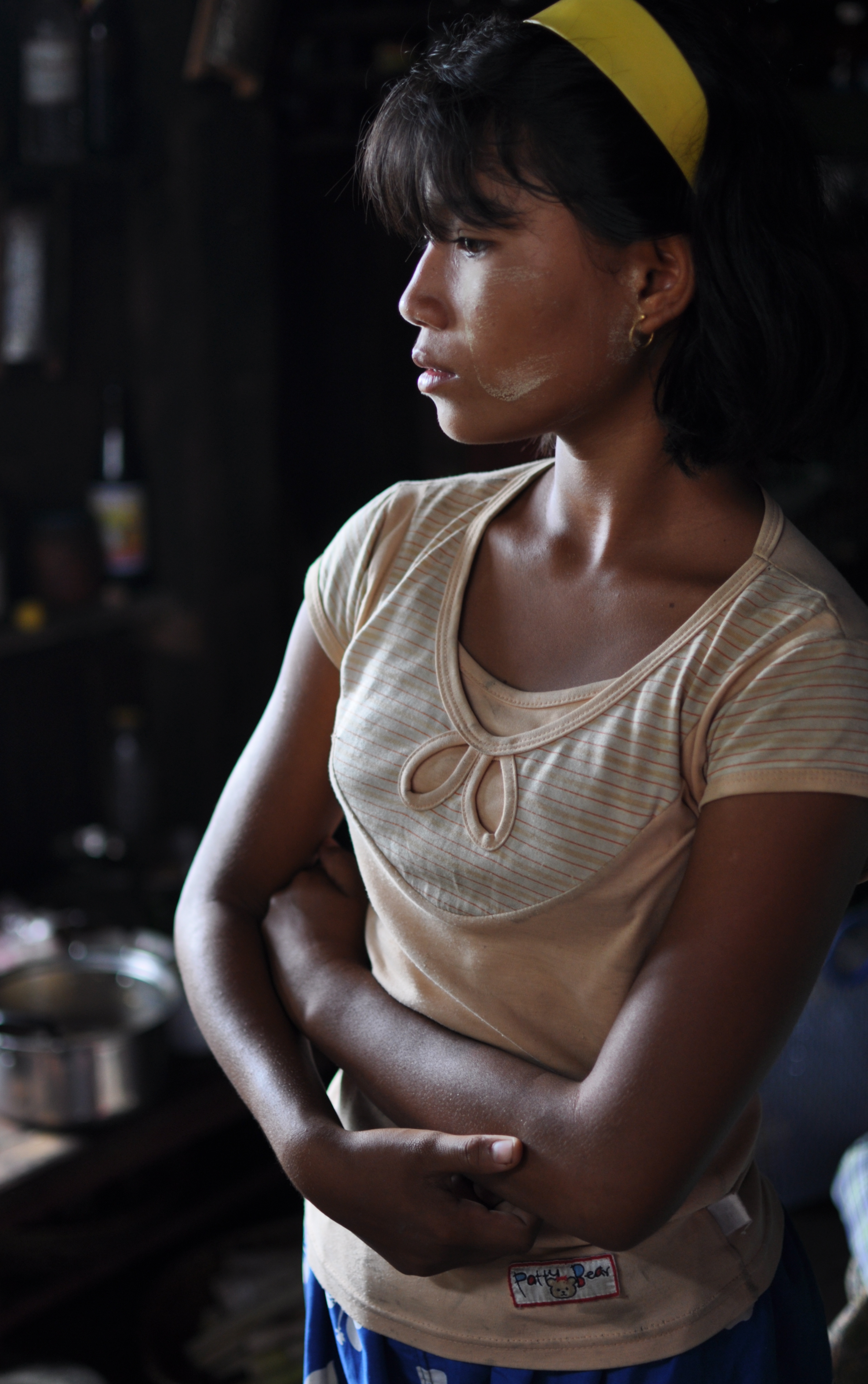
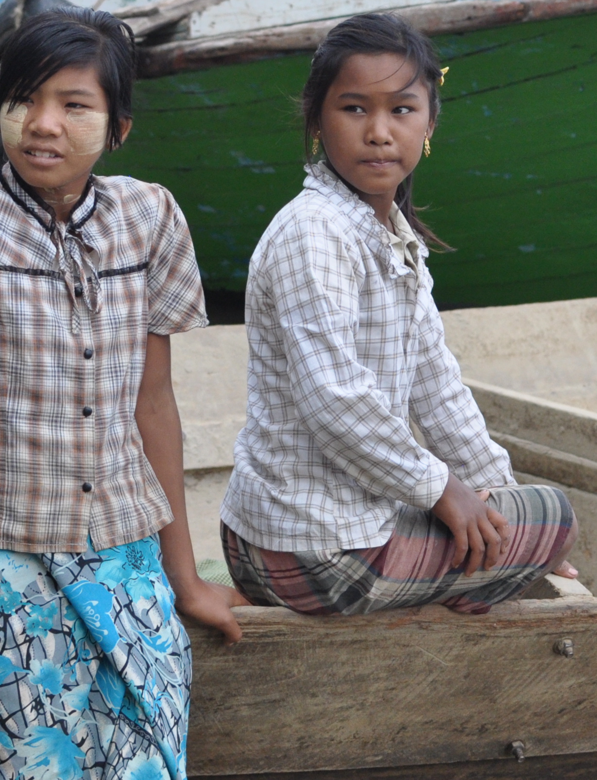
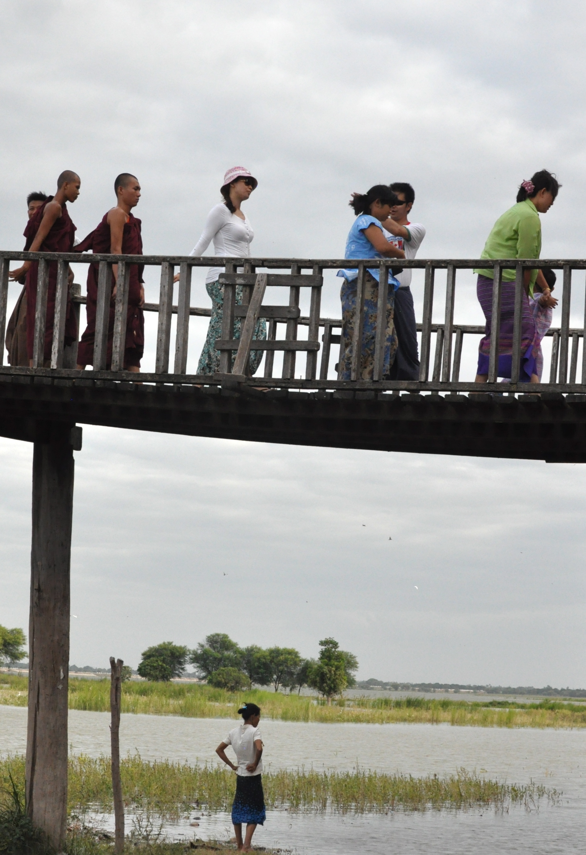
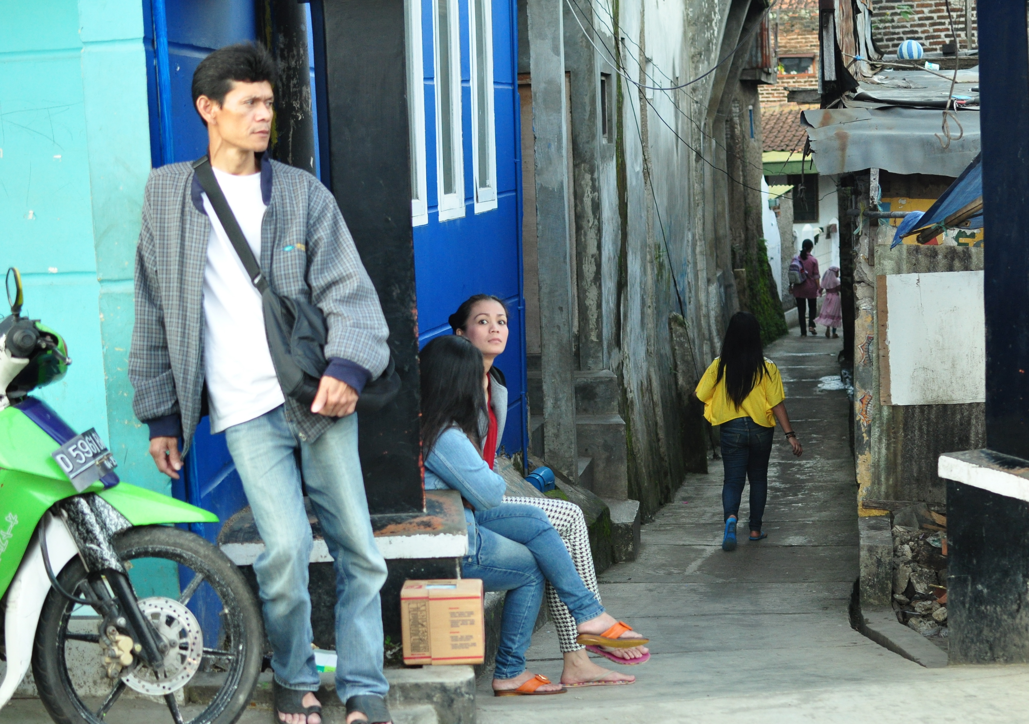
From 1880s onwards Misiones saw huge European immigration notably Poles, Ukrainians, Germans and other non-latin Europeans into its territory in search of farmlands and work. Today over a million people live in Misiones. Outside of Posadas, the capital, the province is a place of tiny remote settlements and small towns such as Obera, Eldorado and Apostoles, the yerba mate capital of the universe.

DSCF0805

DSCF0793

DSCF0918

DSCF0775

DSC_0438

DSC_0424

DSC_0411

DSCF0566

DSCF0559

DSCF0723

DSCF0705

DSCF0685

DSCF0676

DSCF0512

DSCF0799

DSCF0786

DSCF0510

S0440527

DSCF1193

DSCF1111

DSCF1135

DSCF1129

DSCF1153

DSCF1192

kuala lumpur au naturel

DSC_0842

Away from the shiny edifices of the Kuala Lumpur City Center driving in a general northerly direction will bring you to Kepong, a former tough guy township and now inner city suburb that shows off best the city’s authentic side. It is the twin faces of urban blight and buzz that is familiar to folks in KL except tidy expatriates and middle class families who spend most of their lives in the air-conditioned malls of Bangsar and Bandar Utama (two of the city’s more affluent suburbs). Like the barrios and favelas of Latin America, Kepong is at once menacing and reassuring. Even on an overcast and lazy Saturday morning the place fascinates more than any other part of KL I know.

DSC_0845

DSC_0854

DSC_0891

DSC_0903

DSC_0963

The streets appear disheveled but well-swept in the morning before descended upon by heat, traffic and people

DSC_0904

Off to work on a Saturday morning

DSC_0918

Chinese have traditionally been the dominant ethnic community here

DSC_0939

Immigrants from unfamiliar continents have brought their cuisine to Kepong

DSC_0972

a mobile phone shop caged behind bars- a rare sight in a city where violent crime is perceived to be low

DSC_0974

I have never fully understood why  Punjabi is officially used in Malaysia only on multi-lingual sign warning of eletrocution

DSC_0978

DSC_0992

DSC_0996

DSC_1003

DSC_1007

DSC_1017

DSC_1020

DSC_1022

DSC_1025

DSC_1036

DSC_0850

DSC_0839

DSC_1038

DSC_1062

DSC_1042

A recycling bin doubles as a community notice board

DSC_1051

securedownload_2

DSC_1066

All images copyright Kerk Boon Leng September 2013

pagoda on a hill

DSC_0467

Myanmar is a proudly and profoundly religious place. It is one of few officially Buddhist countries left in Asia – a continent that in ancient times had embraced Buddhism as its creed in the vast region stretching from the mountains of Afghanistan and deserts of Uzbekistan to the islands of Japan and the Malay Archipelago.   There are perhaps thousands and thousands of temples and pagodas across Myanmar. Some are magnificent monuments built by monarchs to instill reverence and awe. Others are less ostentatious and more prosaic and purposeful in their design and construction. But most if not all are coated with gold so that they glitter in the hot sun and glimmer on nights when the moon is out. For maximum special effect, many pagodas are built on elevated ground including the first one I ever spent a night in called Hpo Oo Taung near Pyay, a historically important town 5 hours north of Yangon.

During the wet season Zin Mar invited me to join her together with her husband Myo and her fortune-teller father-in-law on a pilgrimage to their family’s favorite hill top pagoda. Getting there involves a half-day car ride from Yangon, then  a one-hour boat trip from Pyay heading upstream along the western banks of the Irrawaddy to the village of Yartaya and finally a breathtaking (literally) 50-minute hike up a scenic hill.

An enthusiastic troop of children from the village at the foot of the hill come to the jetty to greet us and to help us carry our bags, luggage and provisions to the pagoda. The temple is built on a boulder on the summit.  As I gaze up at the white washed stupa from the temple hall I am reminded of the temples in Nepal.

I am not a zen devotee but joining Zin Mar and Myo in their night time meditation at the hill top shrine surrounded by swirling clouds and soothing sound of rain on the zinc canopy I feel a strange sense of silence and calm. That night as I rest my tired body on a thin mattress insulated from the cement floor of my 80 square feet guest room contemplating sleep wisp of white mist blew in through the open window.

According to online information I found after the trip, Hpo Oo Taung is actually a very significant holy site. Myanmar oral tradition has it that the Buddha visited the very hill on which the pagoda now stands and surveying the broad bend of the Irrawaddy River from up high predicted the founding of Sri Kshetra, Myanmar’s first ever capital city pre-dating Bagan by six  hundred years.

DSC_0168

DSC_0176

DSC_0201

DSC_0207

DSC_0216

DSC_0224

DSC_0217

DSC_0231

DSC_0291

DSC_0276

DSC_0307

DSC_0321

DSC_0325

DSC_0329

DSC_0337

DSC_0355

DSC_0357

DSC_0362

DSC_0408

DSC_0423

DSC_0452

DSC_0454

DSC_0460

DSC_0484

DSC_0575

DSC_0583

DSC_0594

DSC_0645

DSC_0737

DSC_0877

DSC_0974

DSC_1014

DSC_1066

DSC_0014

securedownload

DSC_0011

securedownload

securedownload

securedownload

DSC_0043

DSC_0050

DSC_0074

DSC_0075

DSC_0086

DSC_0117

All images copyright Kerk Boon Leng 2013

merdeka day in kuala lumpur

DSC_0742

“ At this solemn moment therefore I call upon you all to dedicate yourselves to the service of the new Malaya: to work and strive with hand and brain to create a new nation, inspired by the ideals of justice and liberty – a beacon of light in a disturbed and distracted world.”

Tunku Abdul Rahman, Malaysia’s first prime minister, Speech on the Proclamation of Independence, 31 August 1957

Merdeka (independence) Day on 31 August is Malaysia’s national day. This year it marks the country’s 56 years of independence from Great Britain in 1957. A few leading radio stations in Kuala Lumpur got together to organise a charity event in support of orphanages in the city.

DSC_0686

DSC_0529

DSC_0552

DSC_0676

DSC_0559

DSC_0554

DSC_0584

DSC_0660

DSC_0690

DSC_0700

DSC_0694

DSC_0729

DSC_0757

DSC_0782

DSC_0790

DSC_0787

DSC_0826

DSC_0772

DSC_0832

DSC_0835

DSC_0837

DSC_0504
All images copyright Kerk Boon Leng 31 August 2013

myanmar 2013: running with longyi

DSC_0294
Copyright Kerk Boon Leng July 2013

One hundred and fifteen years after Rudyard Kipling famously described it as a land quite unlike any other you know about, Myanmar in July 2013 is still by any standard a surprising and extraordinary place. Nowhere else will you see, especially not in cities, men with red-stained teeth like vampires going to work in skirts and women coat their faces all day with whitish yellow ground bark. On streets, along dusty country lanes and everywhere where there is a beaten track, barefooted monks in maroon robes walk cradling big black glazed bowls in the blazing sun. In the country’s biggest city, Yangon, the tallest building glows like gold looking neither like a hindu temple, orthodox church, chinese pagoda nor mosque but all four combined.

Myanmar a land of a dozen and more major ethnic groups with partial Tibetan origin is on the fringe of Hindustan but shares mountains, plateaus and rivers with Yunnan province. It is a land where India and China meet exchanging not only ideas and merchandise but also genes.

These days it is a nation running with its longyi ( Burmese styled sarong) into the 21st century. When I first saw Burma a few years ago most people had no access to a phone and a trunk call could only be made in specialist telephone shops paying in US dollar. Today, it seems that almost every adult owns a mobile phone and the only shopping to be had at night in Mandalay is to check out the latest phone gadgets at the rows of brightly lit emporium type stores on the main street. At the traffic lights on our way from Yangon airport into the city a man approached our car window clutching copies of the government of the Republic of the Union of Myanmar ” Foreign Investment Rules ” for sale. As the traffic began to move we paid him and took two copies.

Myanmar is on the cusp of change. Better days are coming soon for its people who for now are the poorest in Asia with a GDP per person lower than even that of Bangladesh and only half of Pakistan’s. But no matter how normal Myanmar eventually becomes it will always be different from any country you know.

DSC_0977

A pensive moment in the kitchen, Pyay

securedownload

Approaching rain clouds over Shwedagon Pagoda, Yangon

DSC_0674

Doing the buddhist thing by loving all beings big and small, Yangon

DSC_1041

Boats on the Irrawaddy River at Mandalay

DSC_0735

DSC_0487

Hats are optional but not the sunglasses in up and coming Yangon

DSC_0435

Free concert in the park, Yangon

DSC_0548

In the late evening after the rain Yangon flaunts its brand of tranquility and beauty

DSC_0414

Fast food kiosk, Yangon

DSC_0900

Waiting outside a clinic in the old city, Yangon

DSC_0463

friendship and umbrellas in the drizzle, Yangon

DSC_0408

DSC_0791

A senior staff from the auditors office during morning tea break in Yangon

DSC_0216_2

Outside the Sagaing hill top pagoda

DSC_0581

Relaxing monks on the U Bein Bridge

DSC_0560

With friends on the U Bein Bridge, Mandalay

DSC_0131

Quail eggs snack vendor in Letpadan a town in south central Myanmar

DSC_0588

Cyclist and fisherman on the U Bein Bridge in Mandalay

DSC_1049

In front of a factory in north Yangon

DSC_0831

Mother and child at their street side stall in Yangon

DSC_0876

Colourful longyis next to garlands of white flowers, Yangon

DSC_0852

Yangon has a historic chinese community

DSC_0794

The British when they ruled merged the country with India in 1886 and made Yangon (Rangoon) the capital of Burma. As a province of India, Burma saw a huge influx of migrants making the newcomers the majority race and Hindustani-Urdu their lingua franca in pre war Rangoon.

DSC_0891

A bashful plantain seller outside a market in Yangon

DSC_0791

motorcyclist beside the moat of the Mandalay palace

DSC_1028

DSC_0744

DSC_0804


DSC_1111

DSC_1132

Shopping for clothes at a morning bazaar in Okkan, a dusty market town some 110 km north of Yangon

DSC_1013

Sitting outside a meal shop in suburban Yangon

DSC_0368

Sprigs as shade against the fierce afternoon sun in Mingun, Upper Myanmar

DSC_0360

The temple in Mingun bearing its iconic earthquake scars

DSC_0235

Well-dressed devotees at the steps of the hill pagoda in Sagaing

DSC_0373

Bathing in the Irrawaddy at Mingun

DSC_0092

Bathing monks at Amarapura

DSC_0127

DSC_0180

Files of novice monks at meal time, Mahagandayon Monastery in Amarapura, Upper Myanmar

DSC_0498

The much photographed U Bein Bridge near Mandalay – at 1.2 km the longest teak wood bridge in the world

DSC_0448

The Irrawaddy River near Mingun

DSC_0430

Fishing in the Irrawaddy near Mingun

DSC_0474

DSC_0751

Mandalay

DSC_0963
All images copyright Kerk Boon Leng 2013

yangon to mandalay by train

DSC_0771
All images copyright Kerk Boon Leng July 2013

I rode this train about eight years ago on my first trip to Burma and have since yearned to indulge in a bit of masochistic nostalgia. I had my chance last month. This time I got my friend there to book me a sleeping berth on an overnighter, departing at 3 pm from Yangon’s atmospheric central station and arriving the next morning in Mandalay at around 6.30 am – an almost 17 hour-journey to cover a distance of 432 miles.  It is not the cheapest ( and certainly not the easiest)  way to travel between the two main cities but for the chance to take in  a voyeuristic view of Burma at 40 km/h from a bum-banging and metal-clanging seat a train journey is the only way to go. I can now say I have done it twice and the third time would only happen if Burma bans all domestic flights over its airspace.

DSC_0531

DSC_0537

DSC_0558

Sleeping with Monk : my bedside companion giving me the Clint Eastwood look as the train rolls slowly out of Yangon

DSC_0560

DSC_0599

DSC_0754

DSC_0746

One of the few main stops on the journey north. This one is at Bago (Pegu) where we arrived about half hour before sundown.

DSC_0752

Little boy at the platform kiosk in Bago

DSC_0783

The best place on the train – my seat and table in the dining car

DSC_0805

DSC_0807

The rice fields look deliciously lush even in dull monsoon weather

DSC_0800

DSC_0856

DSC_0857

At dinner time it can be hard to find a free table in the dining car.

DSC_0860

A train attendant taking his meals at Taungoo a former royal town of some size situated at about one third of our journey to Mandalay

DSC_0886

Some things are better in Burma in the bad old days. 3 in 1 coffee and tea, known as coffee mix and tea mix, have replaced universally the original and traditional brews.

DSC_0894

DSC_0909

DSC_0910

DSC_0913

DSC_0922

DSC_0954

Someone’s backyard in the outskirts of Mandalay

DSC_0955

DSC_0976
All photographs copyright Kerk Boon Leng July 2013

jeonju

DSC_0216

Nestled amongst steep hills and semi-bucolic countryside, the small city of Jeonju is the capital of North Cholla province ( Jeollabuk-do in Korean) in south western South Korea.

The city is something of a travel gem that deservedly should be on the itinerary of every foreign visitor to Korea. But as a tourism late bloomer few overseas folks have heard of its name until quite recently. The 1985 edition of Lonely Planet guidebook on Korea left out Jeonju completely. Even harder to understand is that for a place that was supposed to be an important cultural centre when Korea was ruled by the great Chosun (Yi) dynasty its name is not even found in English language history books on Korea except for a brief one time mention as a city that was occupied in 1894 by armed and highly pissed-off peasants during the Donghak Rebellion, an event that led to war between China and Japan.

Simon Winchester in his 1988 book about his journey on foot across the length of South Korea described Jeonju (then spelt Chonju) as “a town of very little distinction and even less beauty”.

Today’s Jeonju has a village in its downtown area that is a cross between a heritage suburb and a cultural theme park with the country’s biggest concentration of traditional houses of curvy oriental tiled roofs built in the 1930s called hanok. Jeonju also has an amazing dining scene and is famous all over the country for its version of the bibimbap which uses a cornucopia of wild ingredients from the surrounding woods, mountains and fields.

DSC_0045

DSC_0139

DSC_0492

DSC_0255

DSC_0513

DSC_0365

DSC_0559

DSC_0508

DSC_0469

DSC_0445

DSC_0431

CSC_0692

DSC_0131

DSC_0221

DSC_0093

DSC_0302

DSC_0239

DSC_0056

DSC_0379

DSC_0420
All images copyright Kerk Boon Leng

kuala lumpur smogland

securedownload

You cannot count on God or (if you prefer) nature to always be fair. Some countries have earthquakes, volcanic eruptions and hurricanes. Others including Malaysia (both parts, east and west) are blessed with almost no history of large scale natural disasters and so occasionally have to resort to man-made ones if they feel their clean air and environment are things that should be taken for granted.

securedownload

securedownload_2

securedownload

securedownload_3

DSC_0766

Reading my western guidebooks I arrived in Bandung expecting a congested Indonesian metropolis (the country’s third largest) with slightly more bearable heat, high humidity and lots of garment shops and pollution. I was quite wrong.

Bandung may be long past its glamorous colonial heyday as “Parijs van Java” but it is no high altitude version of Jakarta or Medan either. For a start, the city is clean with many large western style buildings (some Dutch) along wide roads lined with tall trees. Located on a highland plateau at an average height of around 730 metres, the climate is a sure pleaser if you have flown in from Singapore or Kuala Lumpur. In mid June with daylong temperatures in the upper 20s tempered by a gentle southerly breeze and average humidity it is perfect T-shirt and sandals weather for sitting out and an after-meal saunter.

Founded by the Dutch in 1810 as a military headquarter and later proposed as a capital of their East Indies empire, Bandung is today the throbbing heart and soul of Sundaland. Cihampelas, Ciumbuleuit, Cipaganti and Cibaduyut: street names and districts of Bandung reveal the city’s proud Sundanese heritage.

DSC_0021

DSC_1032

DSC_0549

DSC_0634

DSC_0625

securedownload

DSC_0194

DSC_0308


DSC_0321

DSC_0337

DSC_0285

DSC_0605

DSC_0281

DSC_0259

DSC_0323

DSC_0269

DSC_0274

DSC_0241

DSC_0244

DSC_1002

DSC_0532

DSC_0959

DSC_0716

DSC_0346

DSC_0240

DSC_0890
All images copyright Kerk Boon Leng June 2013