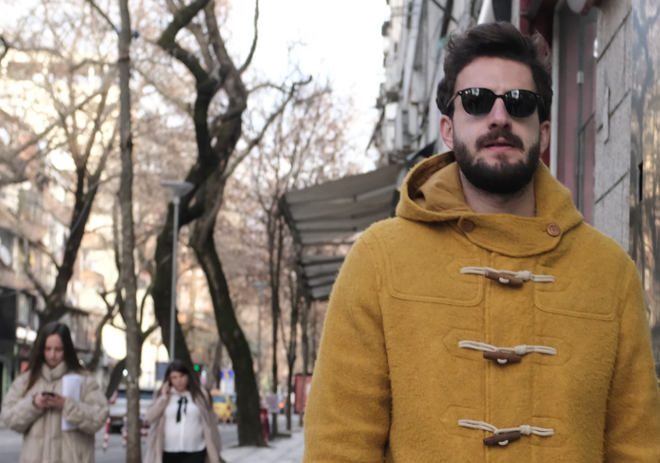
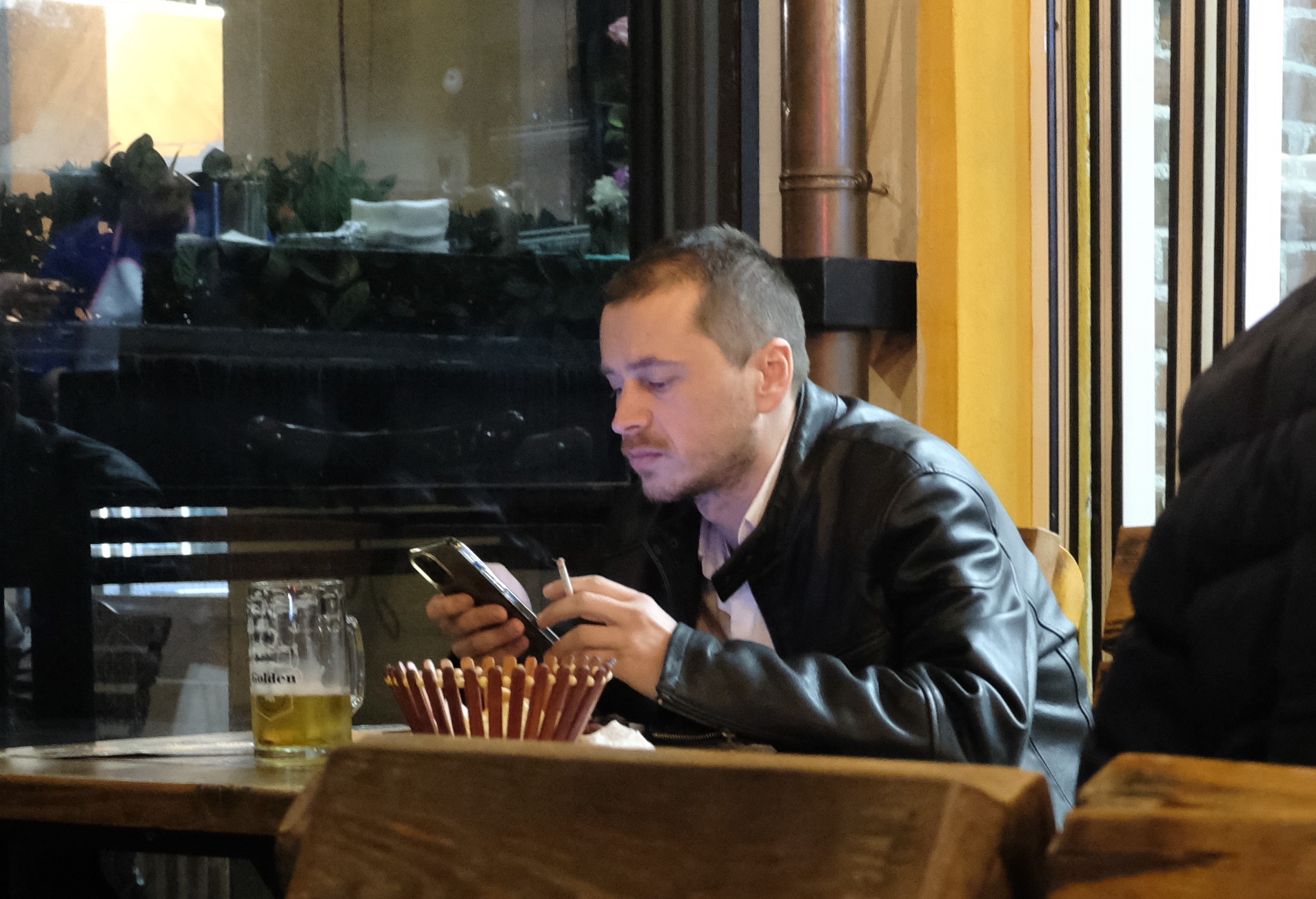
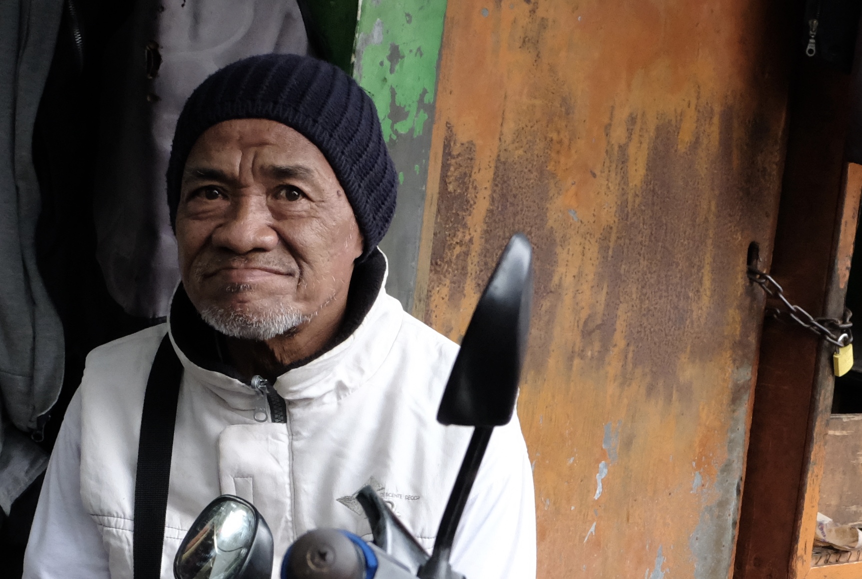
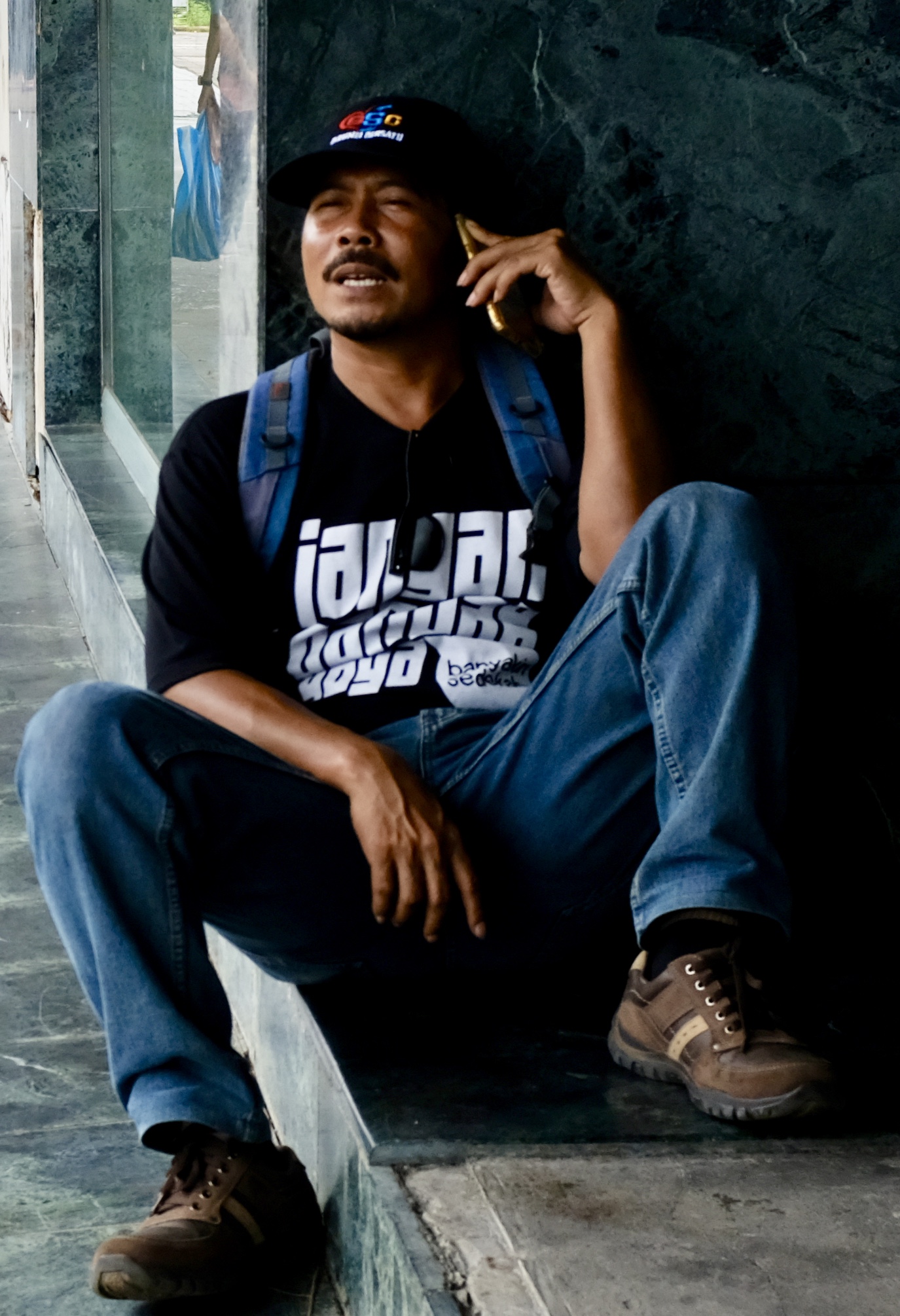
I have all but lost my way lugging my worldly belongings to the Mosaic Home Hostel by Google map when Jessica calls me on Whats App. I tell her my location – a quiet restaurant with a bar and half its tables and chairs outdoor under an awning.
While we wait for our lunch to share, of roast wild boar with potatoes, Jessica pulls out a wonderful surprise of presents for me and the family! Mine is an expensive book we browsed in the bookstore at Skanderbeg Square last night on Enver Hoxha – the communist dictator who ruled Albania and locked her people away from the rest of the world for 40 odd years.
And once again Albania cowered in a hut
In her dark mythological nights
And on the strings of a lute strove to express something
Of her incomprehensible soul,
Of the inner voices
That echoed mutely from the depths of the epic earth.

She strove to express something
But what could three strings
Beneath five fingers trembling with hunger express?

It would have taken hundreds of miles of strings
And millions of fingers
To express the soul of Albania!

Ismail Kadare,  “What are these Mountains thinking About”
Of the countries in Europe, including former feudal statelets known by their postage stamps and large new nations that arose from the collapse of Communism, none is as mystifying and hard to get your head around as Albania.
On my first visit, to the southern city of Sarande sixteen years ago by boat from Corfu, I was warned that Albania was a dangerous place full of criminals and crazy people. Today although Albania’s fortune and standing have vastly improved, its oddball image remains tangled up with its lingering badass reputation
Gjergj Kastrioti or Skanderbeg – the epic hero of Albanians epitomizes the national character: brave, loyal and vengeful. He was born a Christian, converted to Islam and then reconverted to Christianity to save his people from the invading Turks.
Everything about Albania marks it out as an oddity. It is Europe’s only officially atheist, muslim majority, ex-socialist, now staunchly pro-American country which once only friend and close ally was Mao Tse-Tung’s China. Albanians, or Shqiptare as they call themselves, claim to be the most ancient people in the region and are the direct descendants of the first humans in the Balkans. Their language is obscure and fabulously unique being the sole member of an isolated branch of the Indo-Aryan family that has survived the influence and onslaught of Greek, Latin, and Slavic.
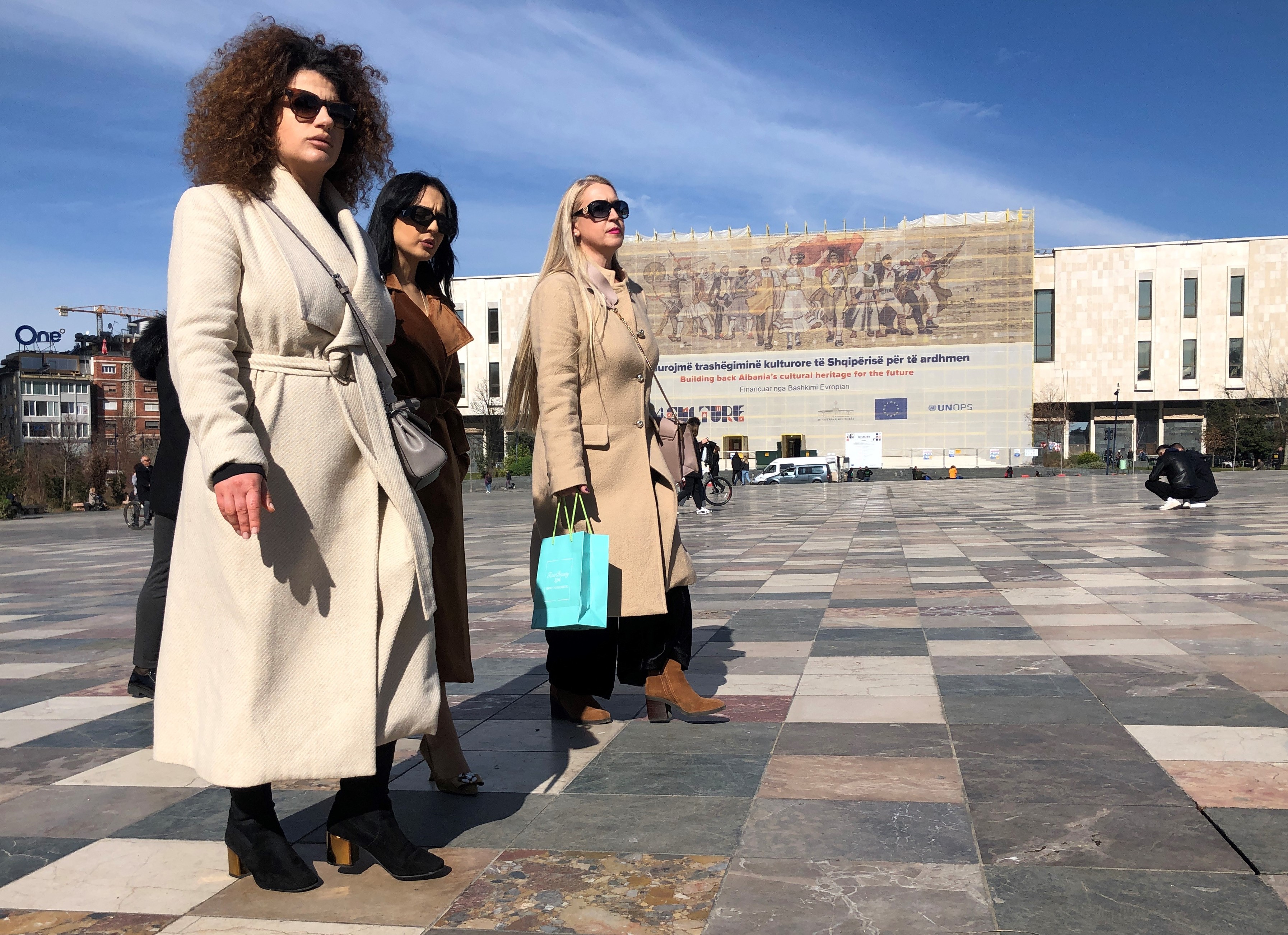
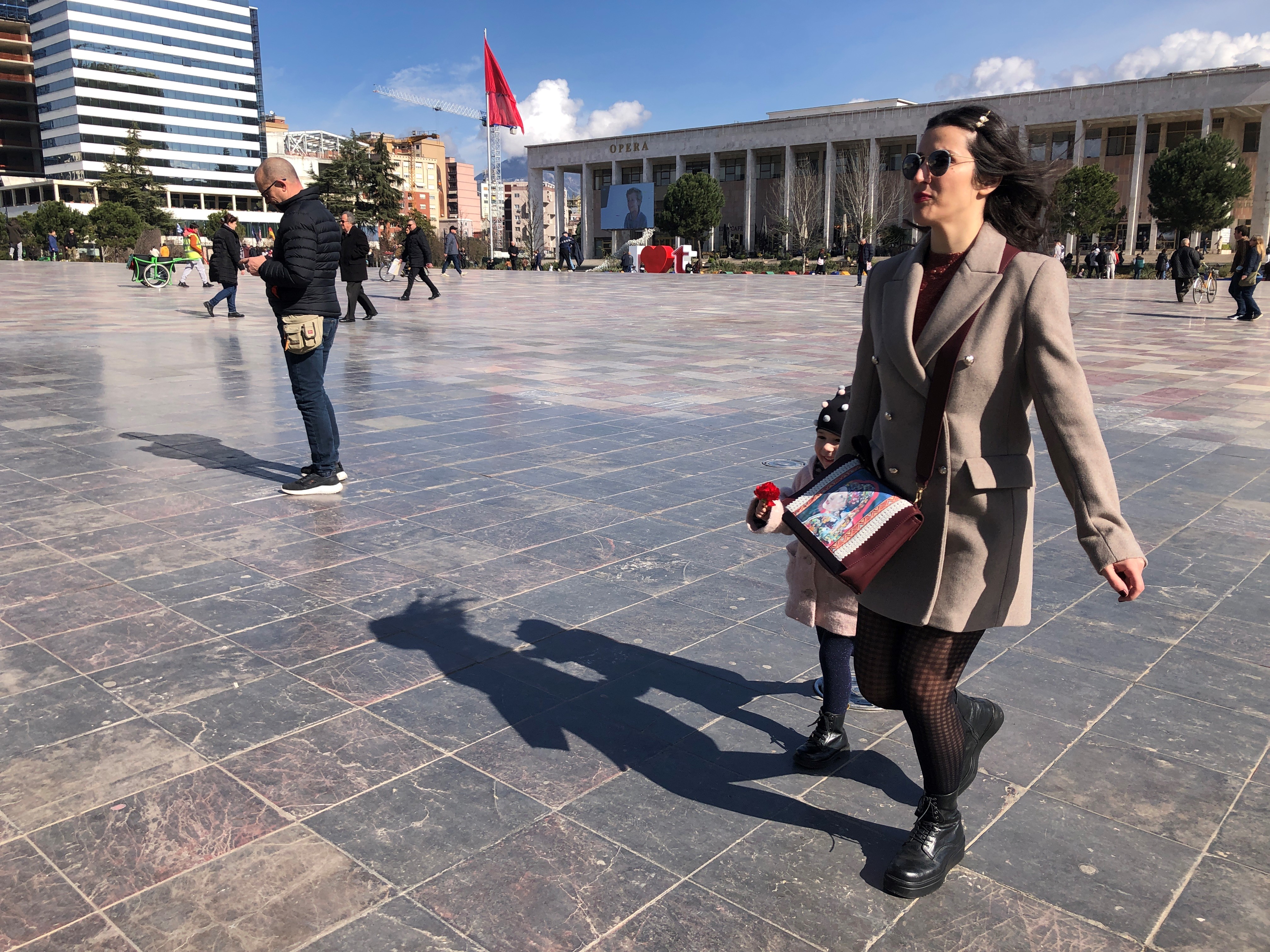
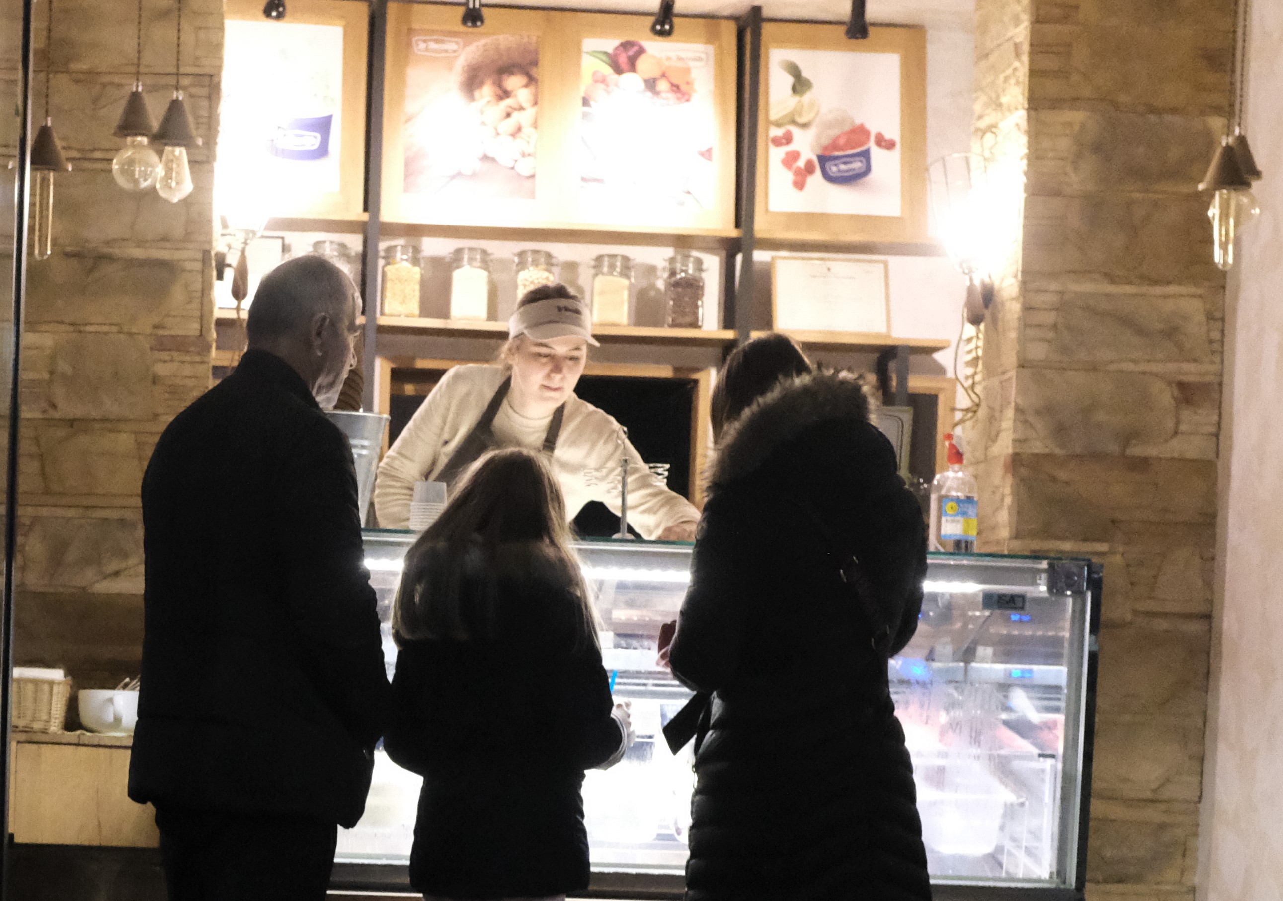
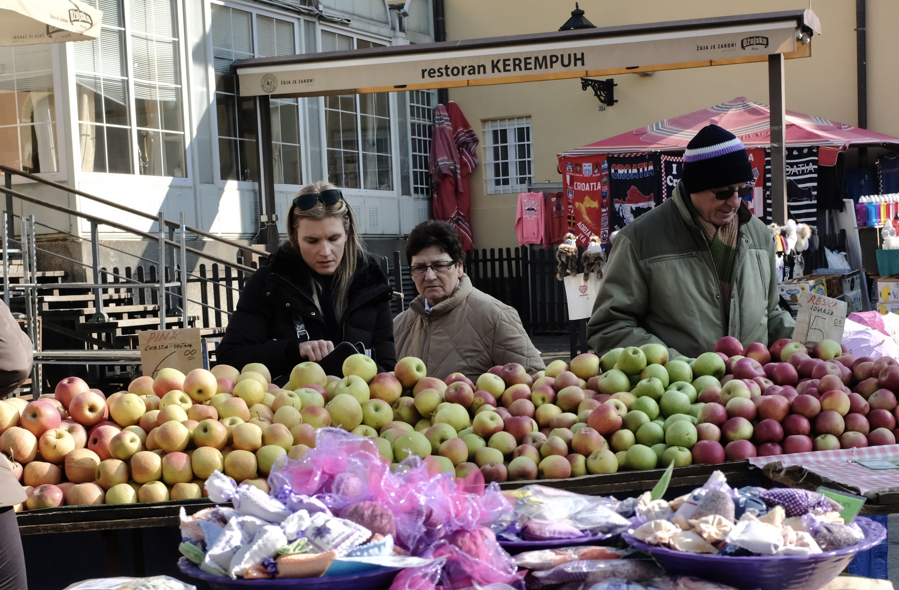
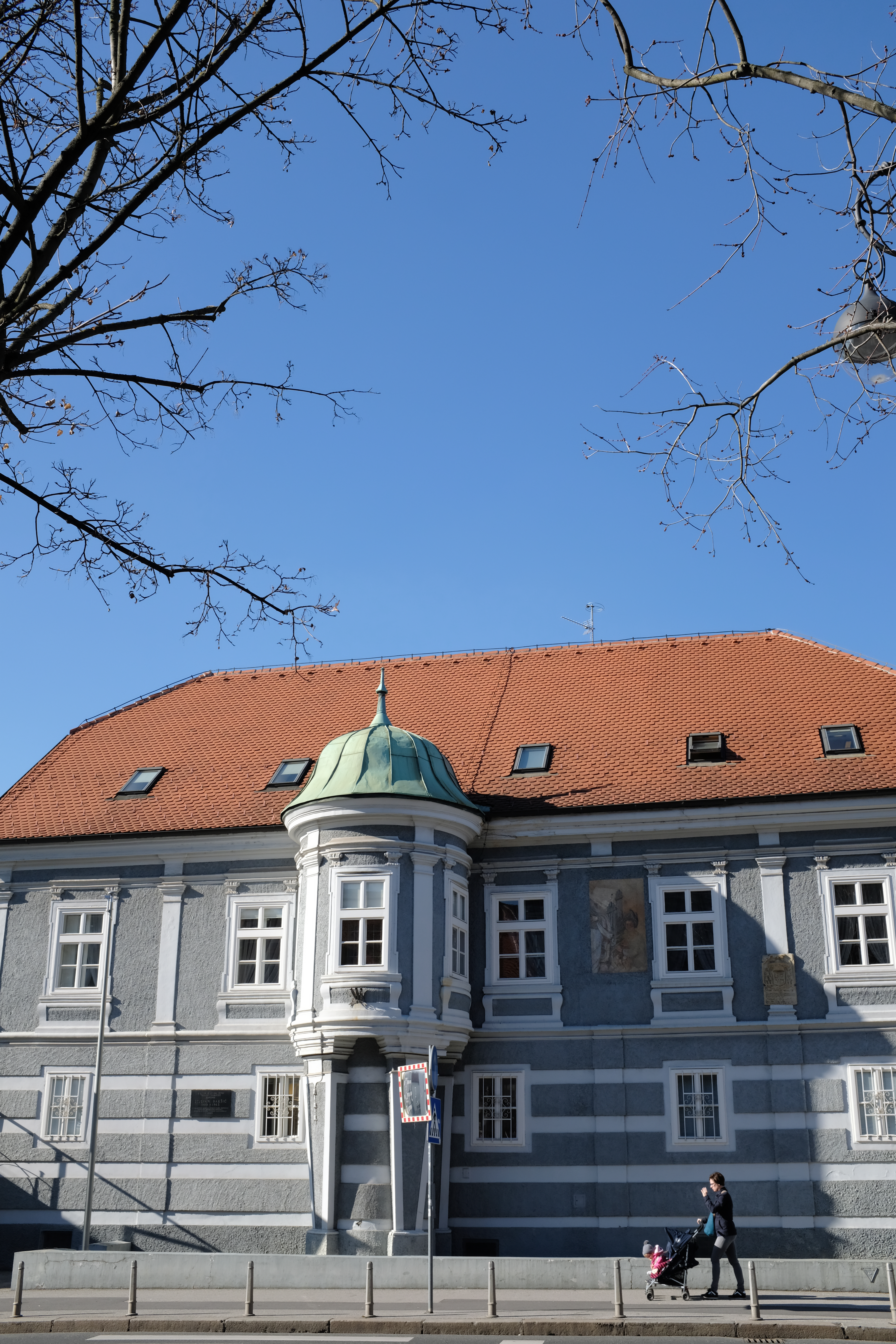
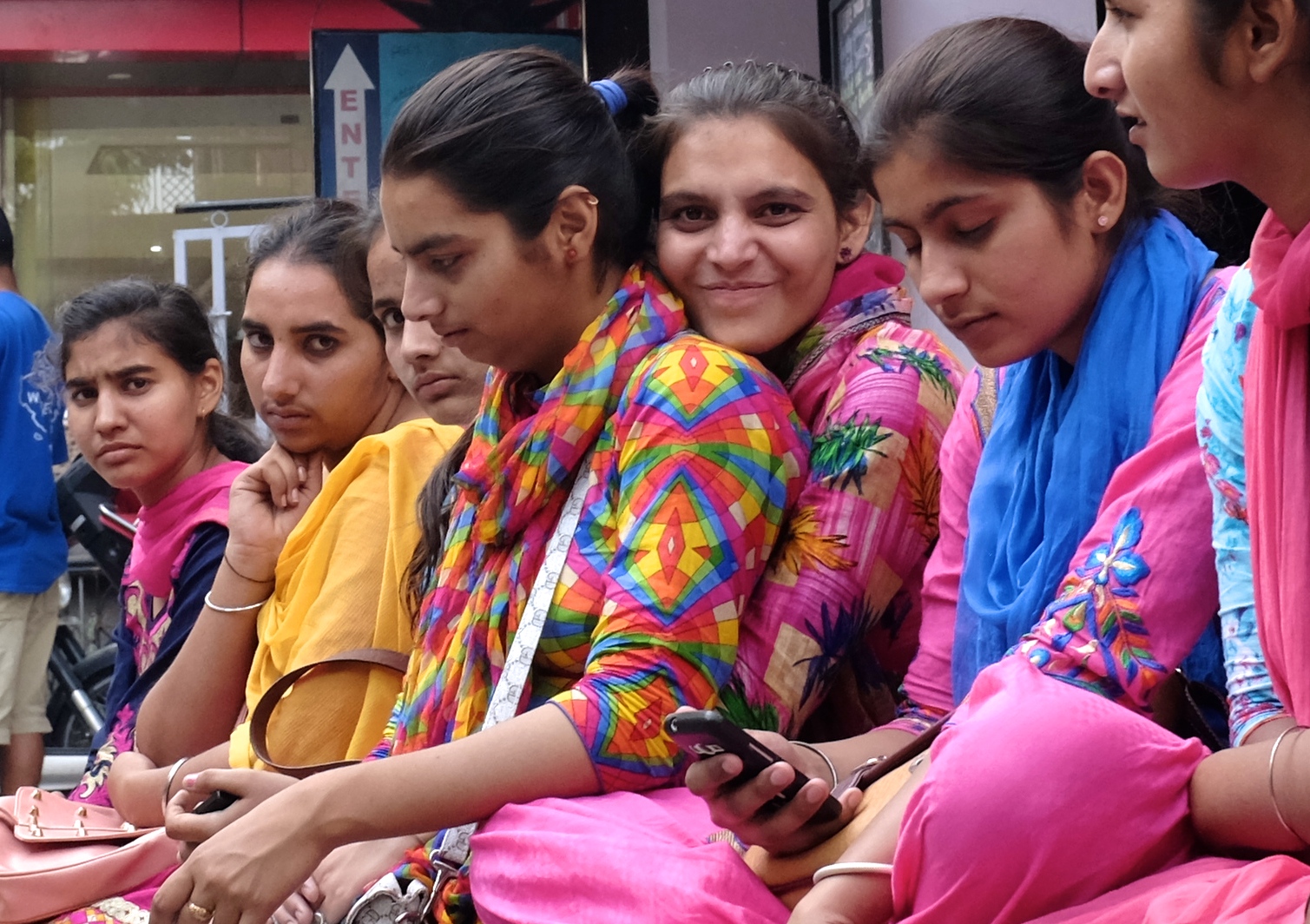
Tirana like a third of Albania on the coastal plains, enjoys a Mediterranean climate but for the rest of the towering two-third of the country winters are sharp and snowy.The center of Tirana is dominated by the Skanderbeg Square, a 40,000 square meter public space designed and built by Italian architects in the Neo-Renaissance and Fascist stylesAlbanians are majority Muslims, many are Christians, most do not make a big deal of the God they pray to or what meal they consume with one another. Pork along with beef is eaten a lot in Albania.
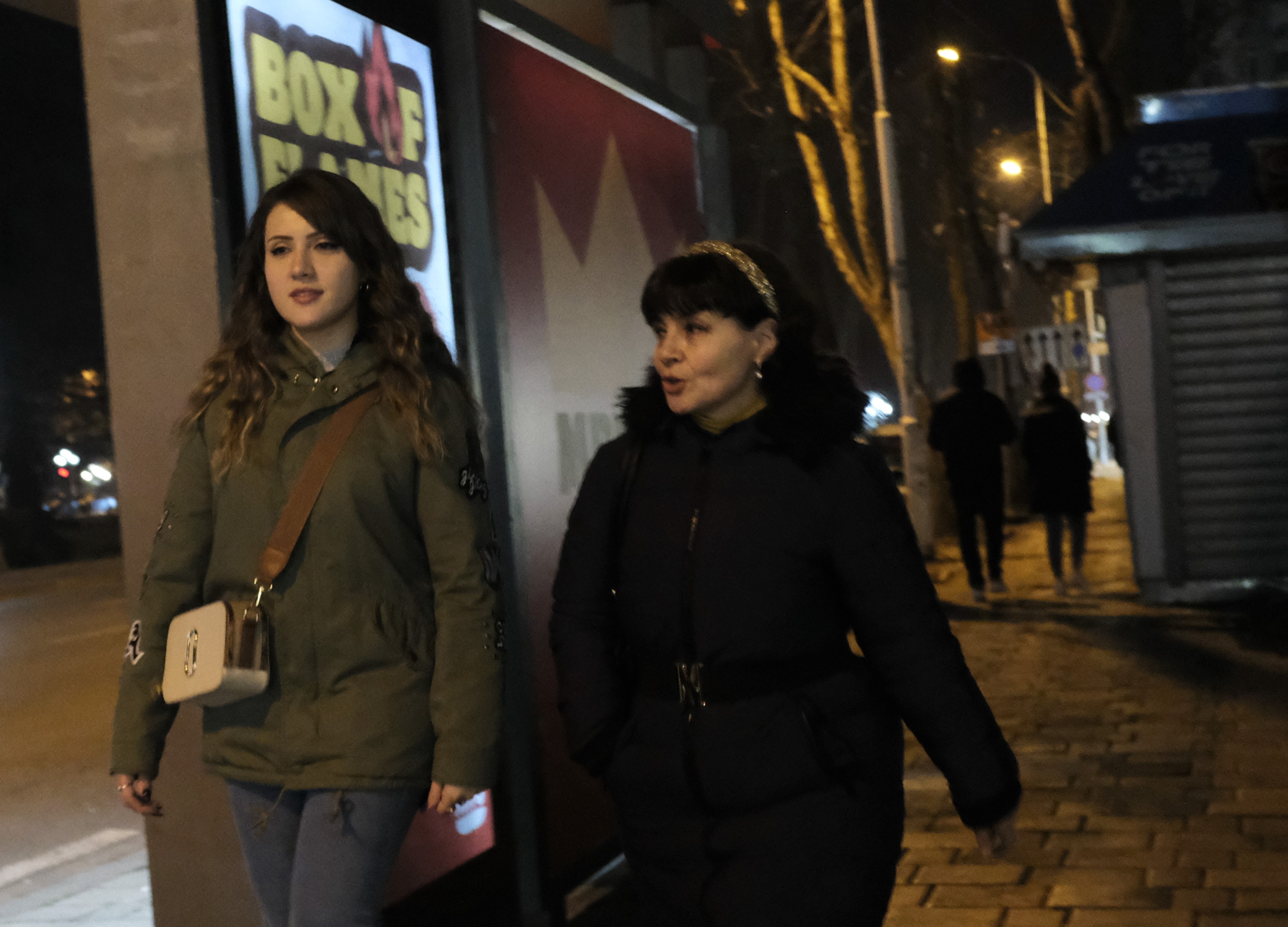
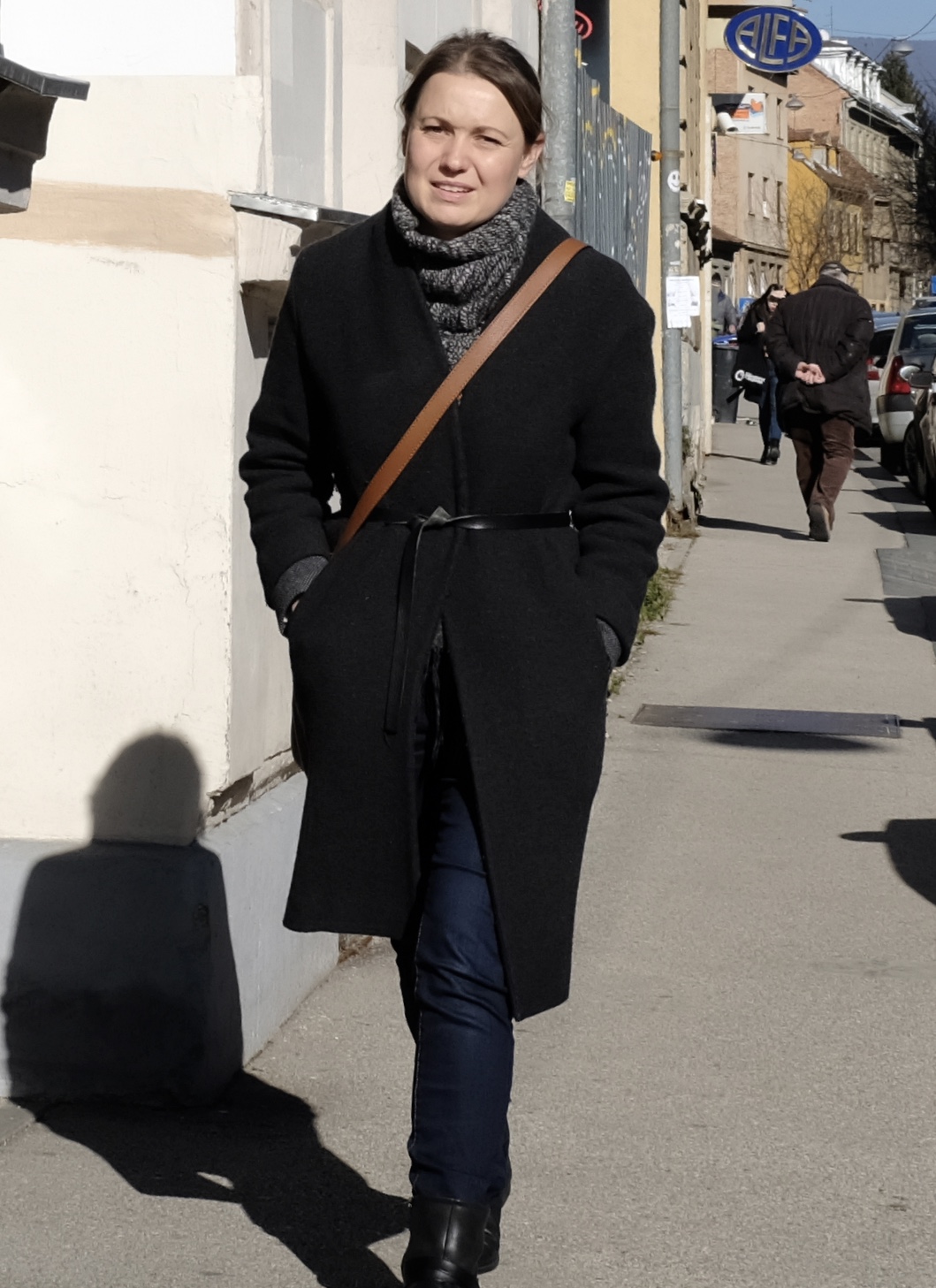
Jessica’s family comes from Kukës, a picturesque lakeside town surrounded by mountains in the country’s northeast. Home for them is now Tirana – a city where she was born and brought up. Jessica sacrifices time to show me her city; supplementing my bookish knowledge with stories about her proud, wonderful but historically traumatised country.
Tribal geography, blood honour coupled with centuries of subjugation, neglect and misrule have gone into creating today’s Albania : a marginal and poor land that is disproportionately abundant, welcoming and generous in human spirit and possibility.
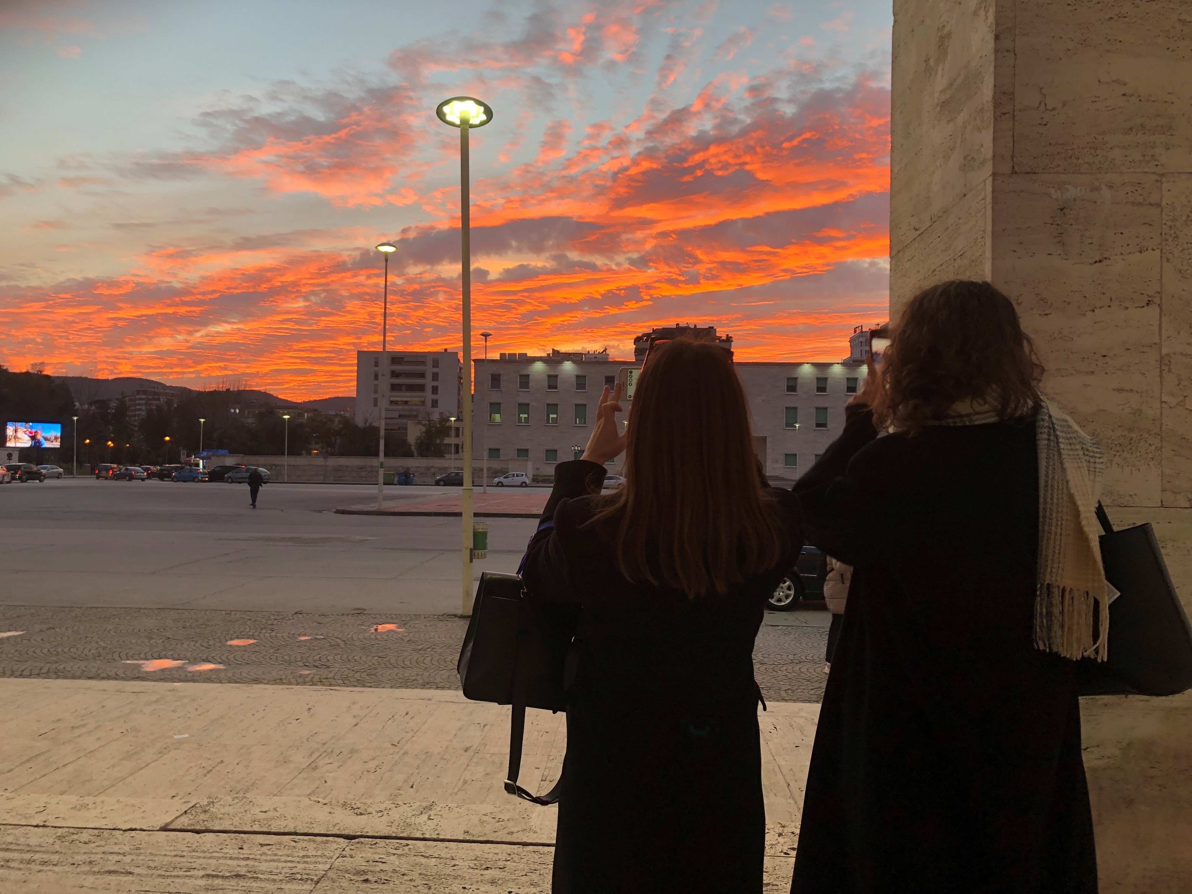
My three nights in Tirana have been tantalisingly short – barely sufficient time to scratch beneath the city’s surface to uncover its hidden past and apprehend its overt idiosyncrasies. But I am closer now to understanding the true meaning of Buk’ e krip’ e zemër (bread, salt and our hearts) – the old Albanian offering to any guest who comes purely and in peace.
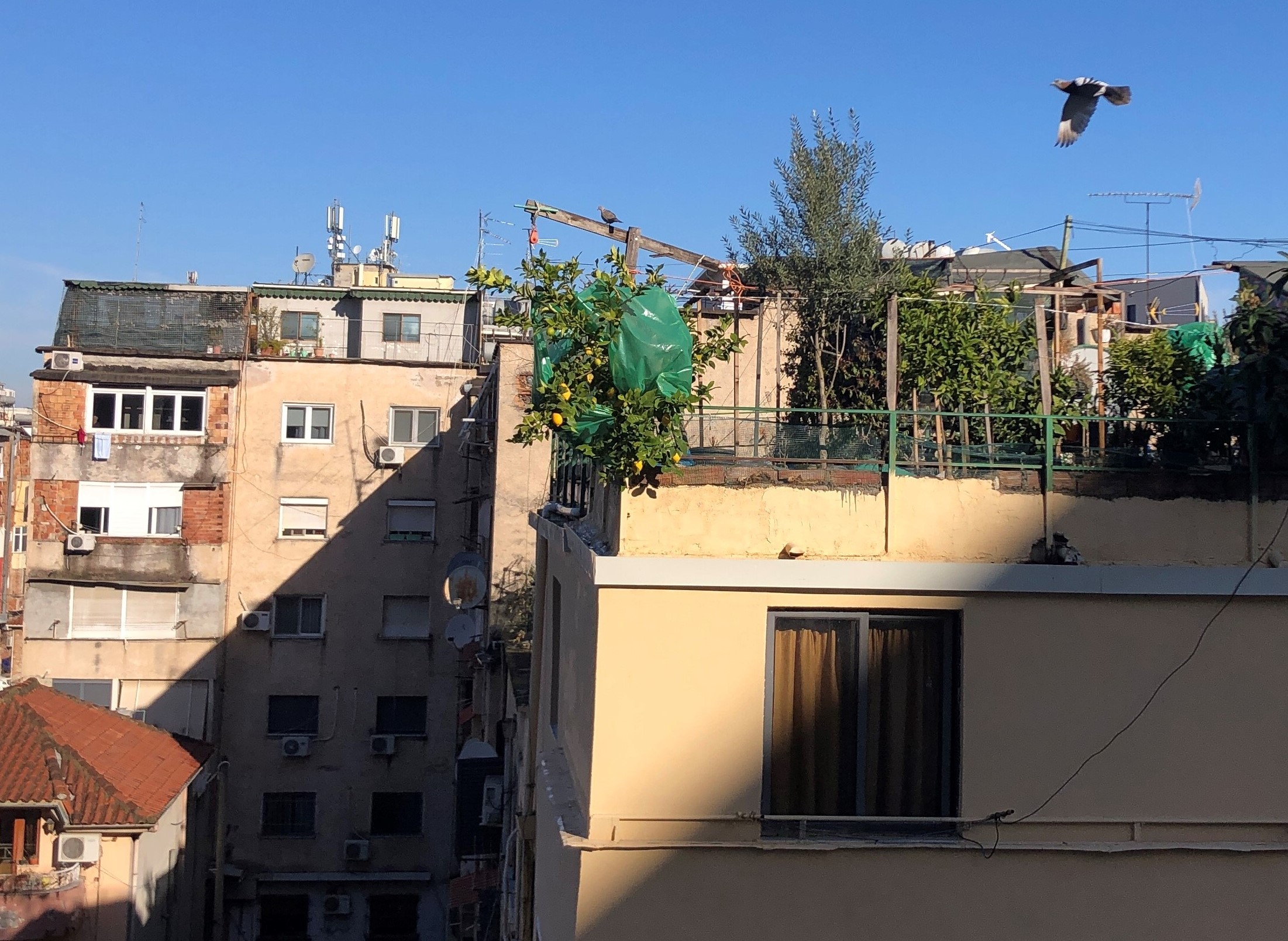
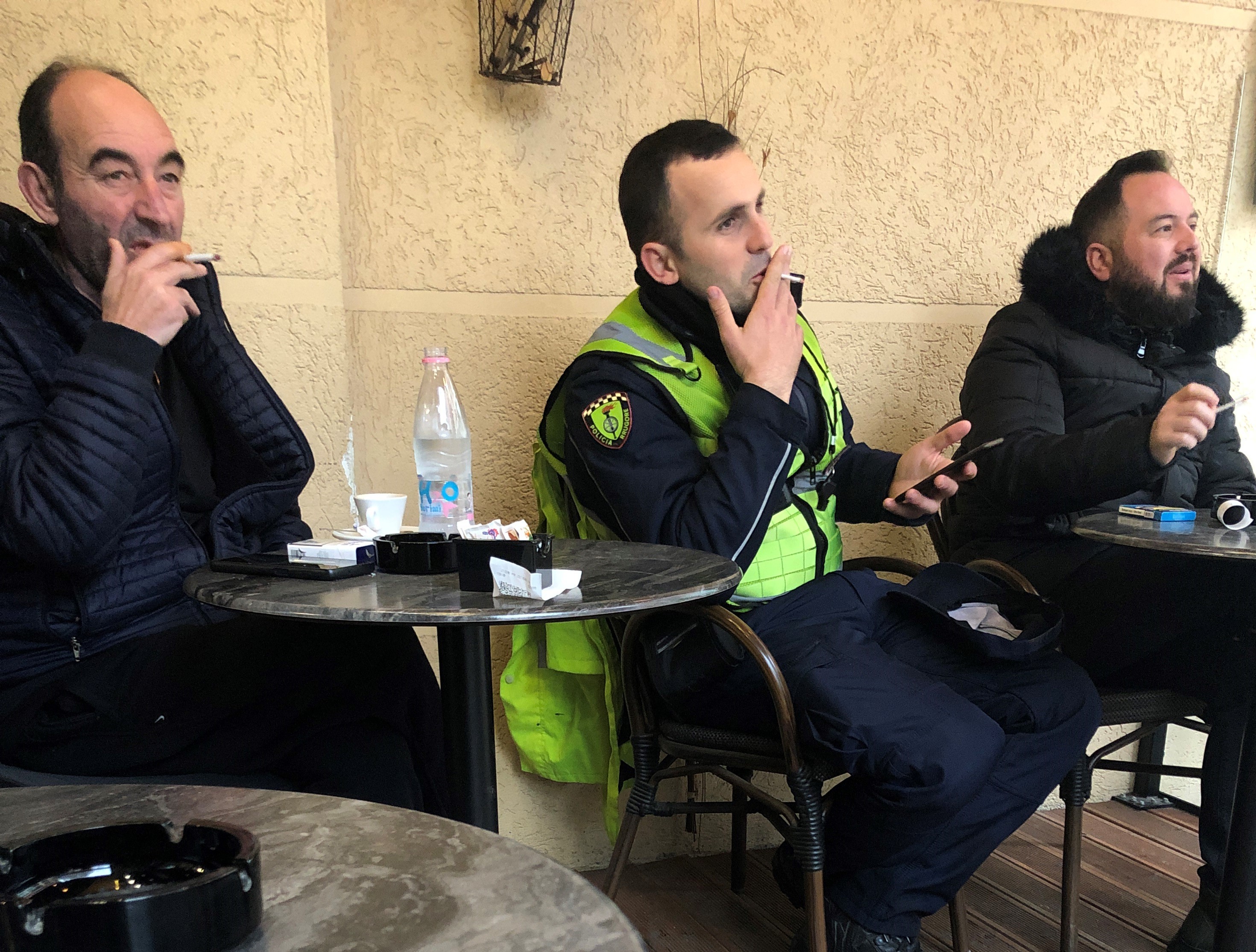
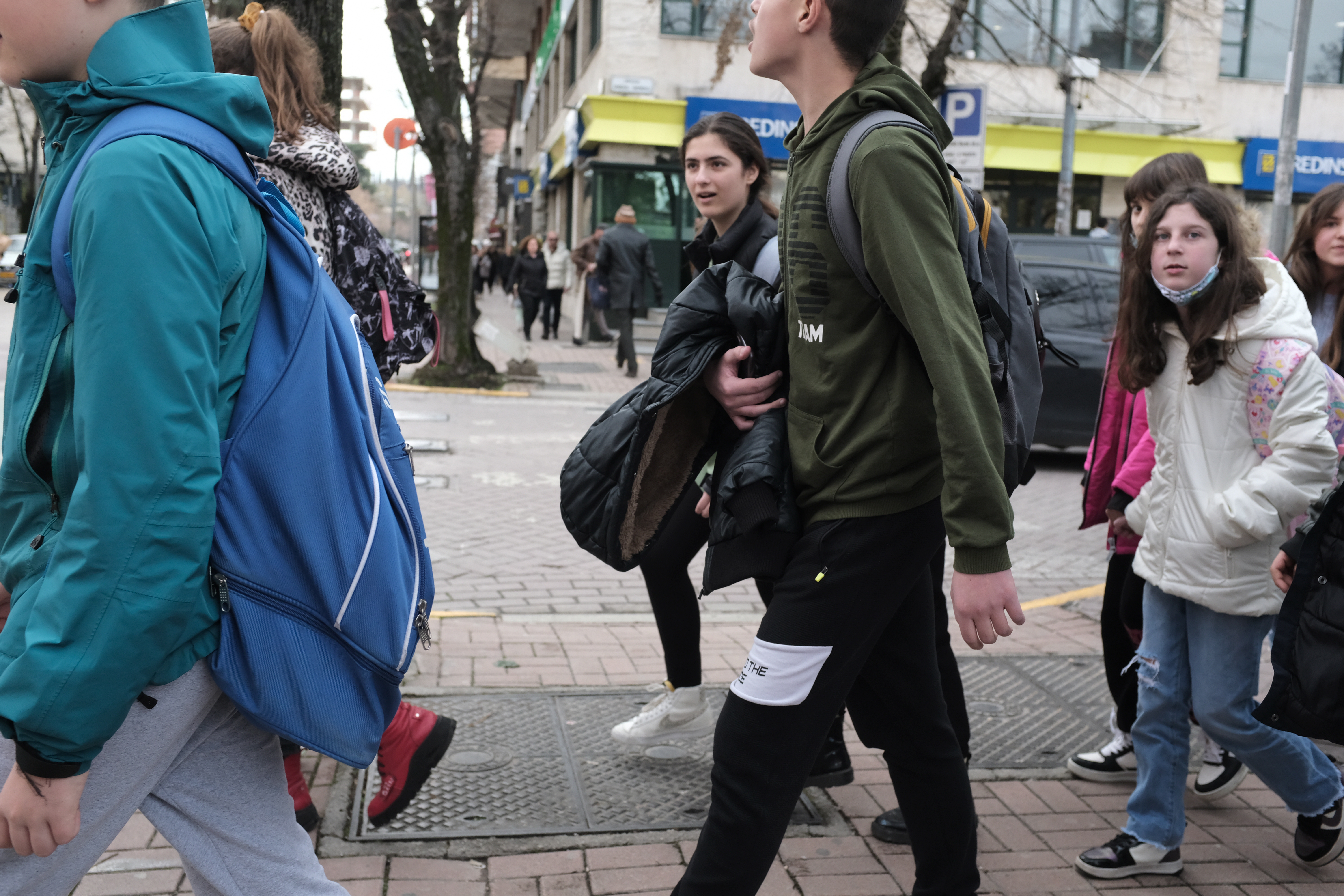
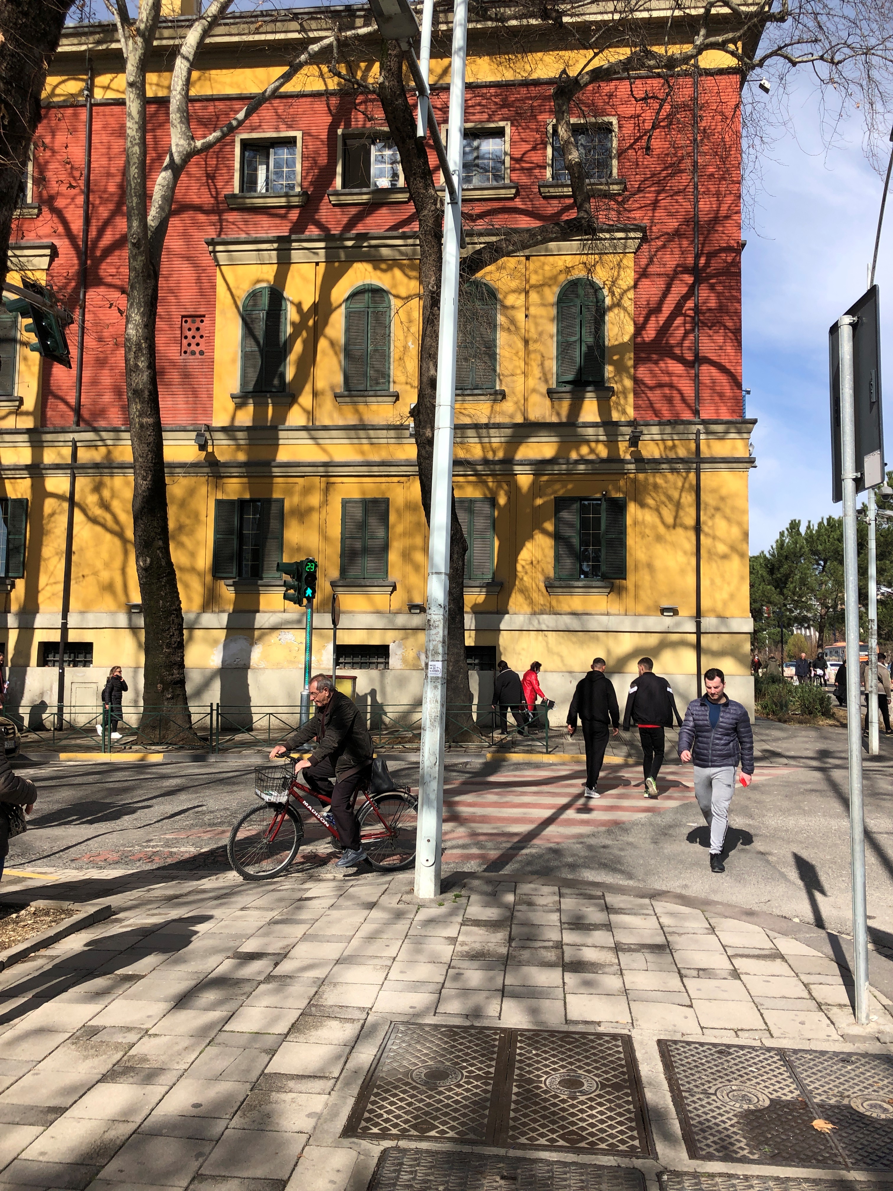
Lemons on the rooftop Expat websites and retirement gurus consistently rank Tirana among the worst cities in Europe to live, but I respectfully disagree with their findings Morning caffeine the civilised way in Tirana Tirana away from its usual traffic Late evening pedestrians at a traffic crossing in central TiranaA breakfast of omelette with olives and everything nice, freshly prepared for me by the lovely duty person at the hostel Beer for one Mother and daughter skipping across Skanderbeg SquareFast and friendly food and drinks at a busy roadside grill The face of Tirana across the ages. The tall building in the center is Alban Tower (ATTI) a green glass skyscraper by Archea Associati of Italy that serves as the city’s premium business address.Albania’s population remains below the three million mark despite a positive birthrate as high number of young people depart annually for better jobs and higher pay overseas.Although Italy ruled Albania for only a short period in the first half of the twentieth century (as a Protectorate from 1917 – 1920 and as union colony from 1939 – 1943) it left Tirana with its urban design, many beautiful administration buildings and a Southern European feel.Blloku – the once privileged precinct reserved for Enver Hoxha and his inner circle of communist party loyalists
PHOTOGRAPHS AND TEXTS COPYRIGHT KERK BOON LENG ALL RIGHTS RESERVED FEBRUARY 2022.
Bang Bang! My talkative driver suddenly sounded out, gesturing his finger gun at an unremarkable bridge in the dark across the road on the right hand side of our Mercedes Benz taxi. We were getting to my hotel in the Austro-Hungarian city of Sarajevo at night time, just a minute or so before approaching the narrowing streets of its sixteenth century oriental Ottoman quarter called Baščaršija.
For most of the people in the West, Sarajevo is something of a civilisational outlier – a product of 400 years of conquest of their Christian continent by an alien culture and religion. A hybrid city that is essentially but inadequately European. I saw third world highways and vaguely Middle Eastern shopfronts in their ambience and signage blend smoothly with stately Habsburg edifices. Saudi-built shopping mall and buildings in glass and concrete with giant LED screens juxtaposed with drab and bomb damaged Yugoslav communist era apartments. Catholic cathedrals and Orthodox churches that had stood for centuries next to and opposite neon-lit mosques with tall sharp minarets.
My mind quickly recalibrated to this change in mood, environment and scenery. I had just flown in from Ukraine with barely an hour of breath-catching transit through Istanbul’s large and confusing airport.
I was charged 20 Euro for the 10 km trip from the airport. Fleeced but happy that I arrived, I was literally a stone’s throw away from Sebilj -the wooden cylindrically-shaped Ottoman fountain that is the postcard symbol of Sarajevo. My lodging, Hotel Villa Orient was a two-storey mansion defined by soft yellow tavern lights with a pizza restaurant next door and a quiet traditional kafana beside the entrance. It was a view that reminded me of a homely chalet of a ski resort. Sarajevo lies around 2,000 feet above sea level – defended and surrounded by the mountains of West Balkans known by an appropriate and evocative name – the Dinaric Alps.
It was cold but not unpleasant, with lumps of snow lingering on roofs and pavements like leftover unkneaded flour on a kitchen table. I stood with my luggage for a while at the roadside for a last cigarette, wondering if the nice kind girl, Lejla who had helped me just now on the phone was still on duty at the reception; and whether it was destiny or decision that had brought me here.
The Illyrians were here first, then came the Romans, Goths and Slavs. Bosnia was taken by the Turks in 1463. Saray Bosna (the Palace of Bosnia) – an Islamic citadel surrounded by Slavic Christianity and culture became their center of administration and learning. Women in headscarves outside the Emperor’s mosque or Careva džamija, built in 1459 and named for Sultan Mehmed, four years after his Ottoman armies conquered Constantinople Although the war has altered this once famously multiethnic city and made it almost entirely bosniak and muslim, Sarajevo is staunchly secular and inclusive.Ćevapi, Sarajevo’s version of the kebab. Sausage-like, grilled and served with sliced raw onions and kajmak or clotted cream in a chewy bun.Young family feeding flapping flocks of pigeons at the Sebilj – the iconic Ottoman public fountain at the entrance to BaščaršijaThe street on a Friday in front of Ali Pasha Mosque built in honour of the Ottoman governor after he died in 1560 utilising funds from his legacy endownmentThe Latin Bridge – the ‘bang bang’ on 28 June 1914 that said ‘bye bye’ to Europe forever.An out-of-season flower stall on the pedestrian only street in the old quarterWaitress at the cafe nearing closing hoursThe preserved bricks next to newer structures showcasing the city’s antiquityHouses above Stari Grad, Sarajevo’s historic district.Markale – the scene of two mortar attacks on a busy market during the war. The first on 5 February 1994 killed 68 people and injured 144. The second time on 28 August 1995, 43 people died and 75 others were wounded. View of the 16th century Gazi Husrev-Beg MosqueA whiff of Istanbul “Objectively, Paris is the most beautiful city in the world, and nothing in Sarajevo can be compared to Paris, but my heart never trembles in Paris like it does here in Sarajevo, when I wait in line at the post office.” – Goran BregovicSarajevo’s Catholic church Crowded dinner dates at Ćevabdžinica Željo – a Sarajevan favourite named after its national soccer team that grills the city’s most mouth-watering ćevapčići.Young people in Sarajevo face a precarious future in a country paralysed by religion and race as envisaged by the American-sponsored Dayton Peace Accords of 21 November 1995 that abruptly ended the Bosnian War.European time warp – a city that flaunts its modern Islamic credentials to the world is ironically also the one that has successfully kept the fine traditions of the Old Continent breathing and alive. When Austria-Hungary ruled Bosnia from 1878 until World War One, Sarajevo was turned from a classical Ottoman town into a quintessentially fin de siècle European city. This mood and era of Sarajevo can still be keenly imagined when sipping beer or coffee in the dark, wooden and tobacco filled intimate interiors of Caffe Von Habsburg – my favourite spot after sundown.Redevelopment of ”Hastahana” now an open area for skateboard, sculptures and children soccer is part of the plan for the rejuvenation of Sarajevo. Citizens voting in May 2022 gave first prize to the Live-Out proposal by Van Tan Quyen Le and Thi Anh Nguyet Tran, two young landscape architects from Sydney.Vijećnica, the Sarajevo City Hall designed in Moorish style by Czech-born Karel Pařík in 1891 when Austria-Hungary ruled Bosnia.
On a lead-coloured January morning this year, precisely six weeks before America and Russia went to war over Ukraine, I arrived in its capital Kiev to spend five weeks in that country. The Ukrainian Embassy in Kuala Lumpur had narrowly but helpfully, two days prior to the departure date, issued me my visa.
It was the dead of winter in Ukraine. Perhaps not the ideal season but I had timed my visit there for the Orthodox Christmas Day and Eve which sadly I would now miss by just a couple of days according to the Julian Calendar. Anyhow, as I luckily found out, the carolling mood and yuletide spirit would still go on till the end of month past Epiphany.
Kiev is a sizeable metropolis. With 3 million people, it ranks amongst Europe’s ten largest cities.
Although it is hard to tell from the city’s mainly 19th century façades and 20th century soviet structures, Kiev is a pretty ancient place that is anchored to a long lost past.
According to a twelfth-century Russian chronicle, Kiev was founded by three brothers – Kiy, Shchek and Khoriv who built on the site a settlement each on three separate hills. A town soon flourished around those hills and was named after the eldest.
Putting aside nationalistic legends and slavonic myths, the real history of Kiev according to archeology goes back nearly two thousand years, maybe even longer. Records tell us that it was settled in the 6th or 7th century by the Polyanians, an East Slavic tribe who roamed the northern grasslands and woods of the Dnieper basin.
Called the ”Mother City of Rus”, Kiev is where it all started – the site where Russia was born eleven centuries ago .
My friend Tatiana warned me about Kiev’s airport touts so I rehearse my basic Russian and haul my luggage up the airport marshrutka (taxi bus) number 322. I pay the 100 Hrivna fare to the driver, a good-natured and pleasant man about sixty and he issues me an old-fashioned printed ticket. We wait for about 30 minutes for more passengers then depart on the one-hour long journey from Boryspil on the left bank to the city centre on the right crossing one of the bridges over the Dnieper.
Along the way, tall, bare and twiggy roadside trees intersperse with housing and commercial blocks alternate and dominate the view in various shades of grey.
We are disgorged finally at a stop that looks like a back entrance to a large station. Golden domes of a new cathedral glisten in the frosty sunlight, snowflakes fall sharply on naked faces and commuters wrapped up in overcoats and hats stand waiting, stamping their boots in the cold.
I was exhilarated and shivering. Like the feeling after downing a glass of fine frosted vodka – instant, intense and head swirlingly unforgettable.
Street art at Velyka Vasylkivska – a lovely street name that flows from the tip of tongue with a bit of practiceTasty and generous local meals at Puzata Hata – a chain of canteen style eateries found in Kiev and other main citiesThe Russian shapka is still the best head covering in winterHot and fragrant Glintwein in Sofiyska Square where food and craft stalls, nativity figurines and a large tree with lights draw revellers day and night during the month-long Christmas seasonThe proud and resilient young faces of a city emerging from its long hard historyLast light at the subway entrance Although outsiders particularly the West like to paint a picture of Ukraine as a multi ethnic place destined for irreconciliable division and strife, the country is in reality remarkably homogenous where 95% are white, slavic and Orthodox Christians. Coffee and oreshki outside the Besarabka, Kiev’s historic meat and vegetables market at the end of KreshchatykSmokers at the steps to the entrance of an underground shopping arcade The universal language of empathy and kindness, Taras Shevchenko BoulevardFrom Centre to Periphery. Kiev in the 10th century gave birth to both the Russian state and the Russian Orthodox religion. Although Ukraine is not Russia the two share a common religion, history and culture.Podil – the lower city was Kiev’s centre of commerce and trade up until the nineteenth centuryLvivski Plyatski, a popular bakery located near the Kontraktova Ploshcha Metro station that serves freshly made pastries kneaded, tossed and baked before your eyes at the shop window.The irrepressible Kievan spiritKiev’s Blue Church – St Michael’s Golden Domed Monastery built in 2001 on the site of an original church which was pulled down and dynamited to pieces in 1935 and 1936 by the Soviets for having “no historical value”. The brave and faithful dip themselves in the freezing Dnieper River on Epiphany Day on 19 JanuaryYoung diners spending time together over a meal of fusion Asian noodles and beer in the Podil district of KievSweet and Savoury : stalls selling inexpensive and delicious cakes and pastries are found in around 50 stations across the city’s vast underground metro.Skates, ferris wheel rides and Christmas lights at the Kontraktova Square in Podil Andreevsky Spusk the charming and historic street in Podil that many say is Kiev in miniature. Kreshchatyk – Kiev’s main boulevard and commercial street Kiev’s stylish and creative side is evident in its many beautiful cafes, boutiques and especially people.Cosy coffee and hookah bar in KievTrains in Ukraine are no-frills but clean, comfortable and respectably fast including this one that makes the 468 km journey from Lviv to Kiev in under 6 hours.School trip to the MaidanStatue of Vladimir, the prince and saint who brought Christianity to Russia in Kiev The first law passed after the 2014 coup is that removing Russian as an official language in favour of Ukrainisation. This discriminatory and ill-advised move is described by a Swiss writer as “a bit like if German putschists decided that French and Italian would no longer be official languages in Switzerland.”Epiphany day blessings in Dnipro Park “I was born in Russia, but ethnically Ukrainian. I don’t speak the Ukrainian language and don’t have Ukrainian citizenship. So I’m a Ukrainian to Russians and a Russian to Ukrainian “ according to Andrew Gloe, the author of Ethnicity map of Ukraine (2016)Besarabsky Market or Besarabka – built in 1912 in the center of Kiev with stalls selling meat, fish, vegetables, dried goods, cheese and caviar on its modest 9,640 square feet of floor space.One of greatest engineering achievements and lasting legacies of Soviet Kiev is its efficient, elegant and very far below the surface metro. Arsenalna station on the red M1 line at 105.5 meters (345.1 feet) is the deepest train station in the world.The Kiev Funicular built in 1905 carries passengers paying the UAH 8 (USD 0.30) fare for a 3 minutes ride that connects the lower station of Poshtova in Podil with the upper station of Mikhailivska in front of the Blue Church.Kiev’s magnificent metro stations are individual works of art and architectural gems in their own rightClosing hours chat in the cloak room of the Kiev Opera House after an enchanting evening of classical music and ballet
Roughly around the time of Chinese New Year this year, Jakarta leapt to my mind spontaneously. The spectre of a gargantuan city that is a poster child for cataclysmic third world dysfunction played continuously in my head like a kafkaesque daydream.
I needed an excuse to go to Jakarta for a weekend, to get it out of my system. I reasoned that I could take a closer look at this city which author and film-maker Andre Vltchek describes as “the most depressing city on earth” to try to imagine how life must be for majority of its estimated 11 million inhabitants who have to eke out a daily existence in its desperate, polluted and collapsing urban environment. **
[ ** Jakarta combined with its satellite cities Bogor, Depok, Tangerang and Bekasi known by its threat-sounding acronym ‘Jabodetabek’ has a population of more than 32 million making the city the second largest in the world after Tokyo]
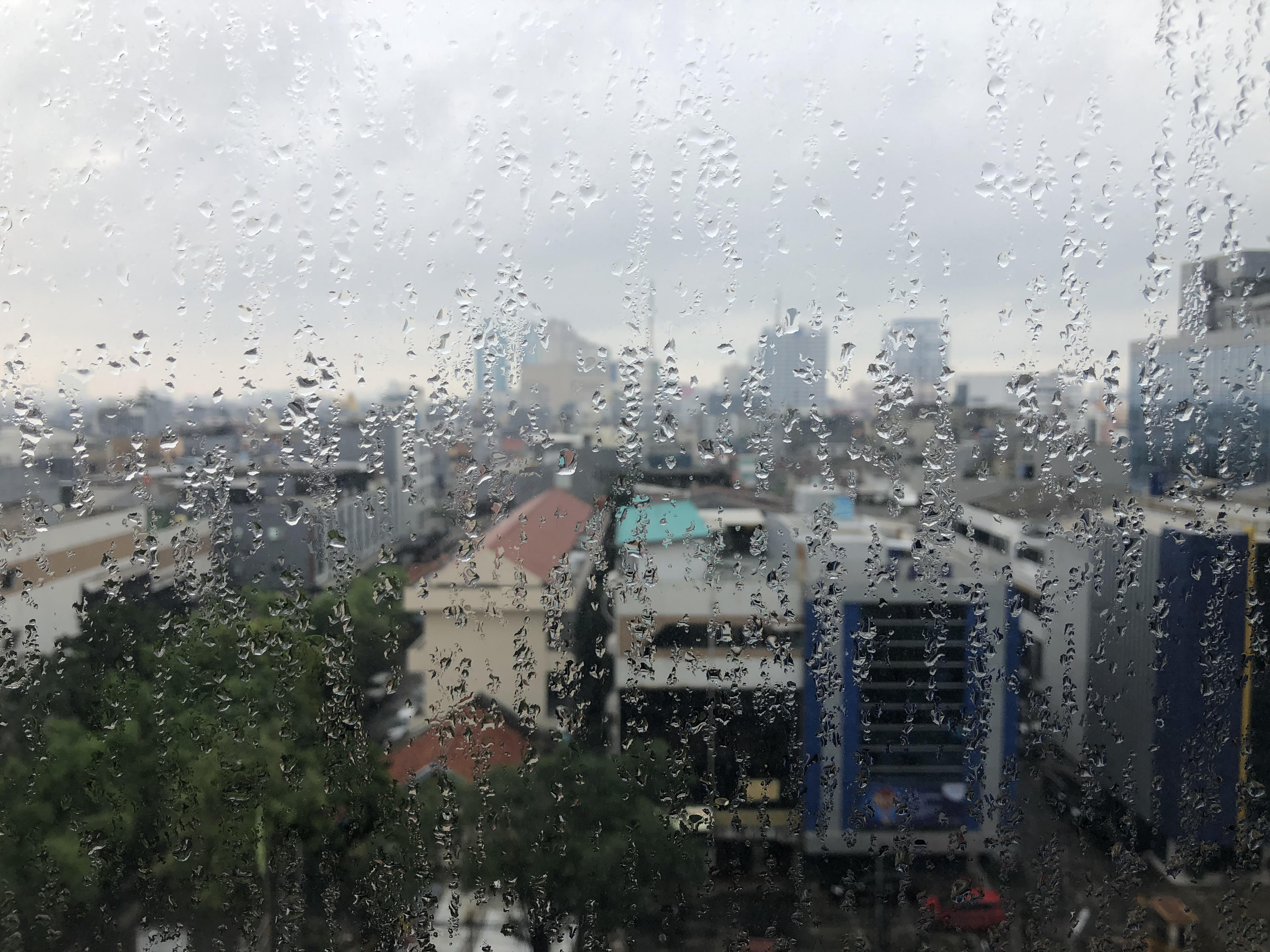
The ideal time to go was I reckoned between January and March – the season of lead-coloured skies and unrelenting rainfall, when the rivers, canals and drains in Jakarta bloat and often overflow. I also needed to make this trip before the coronavirus closes in, shutting off as it has done now all air travel and borders.
A wet vision of my weekend from the hotel window
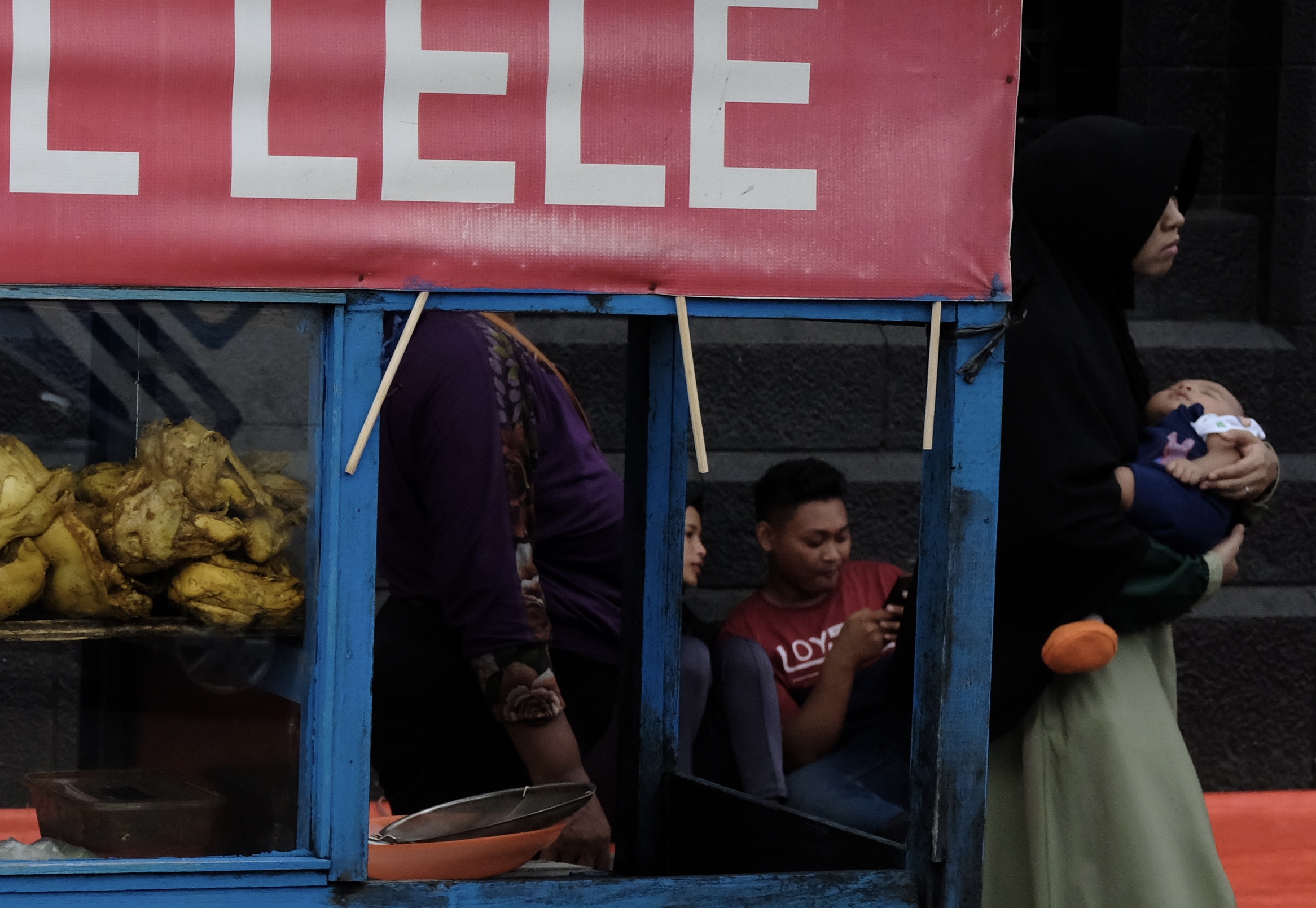
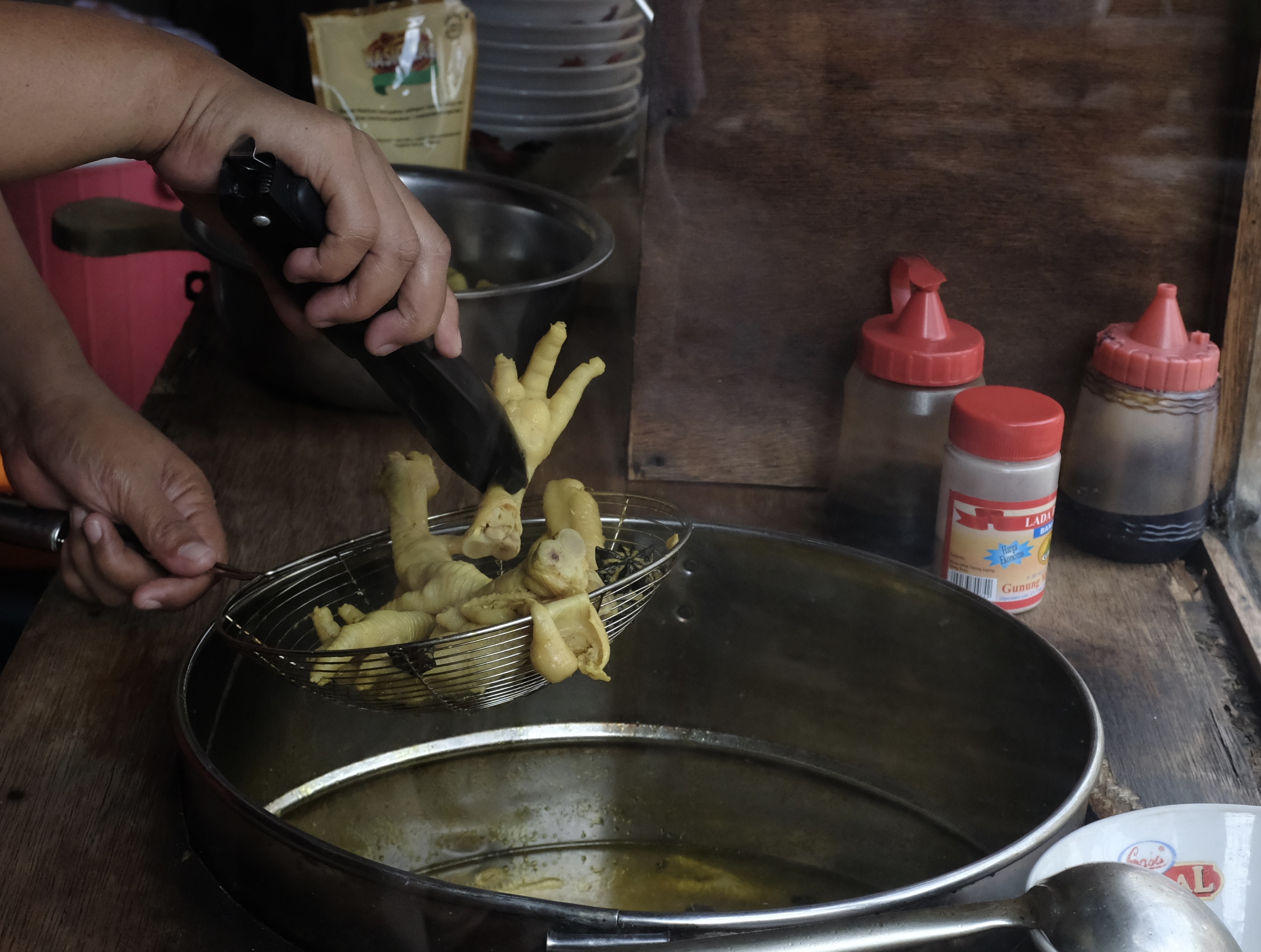
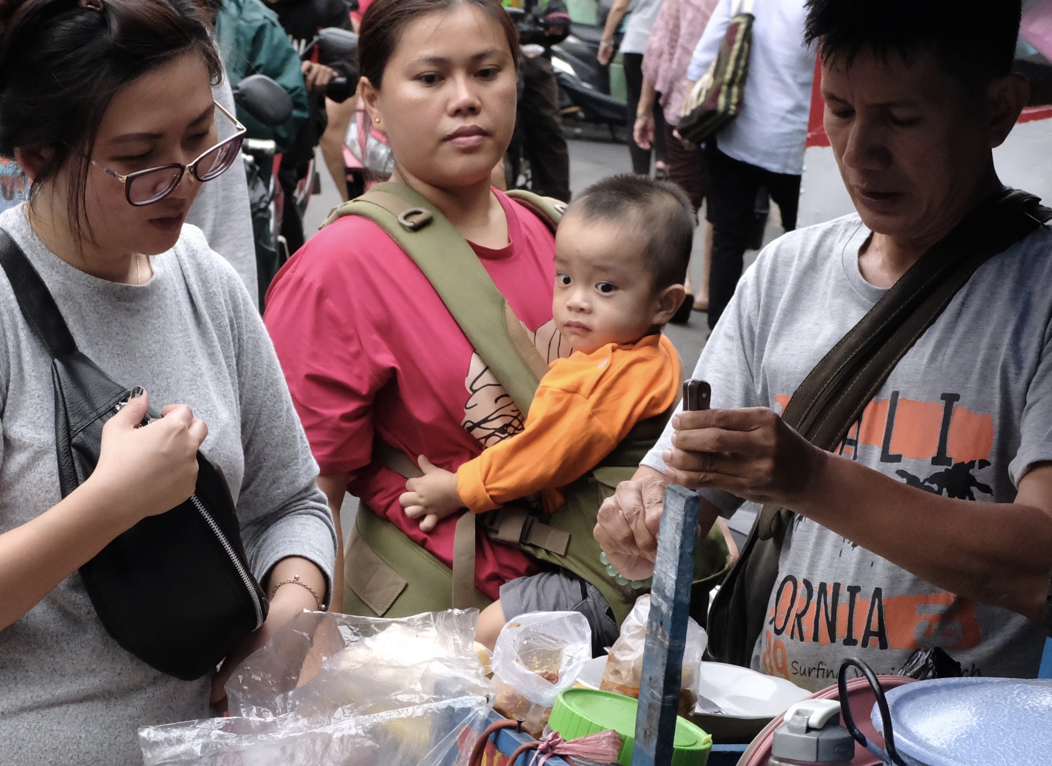
Soto Ceker or Chicken feet soup is a popular street diners option in Jakarta.
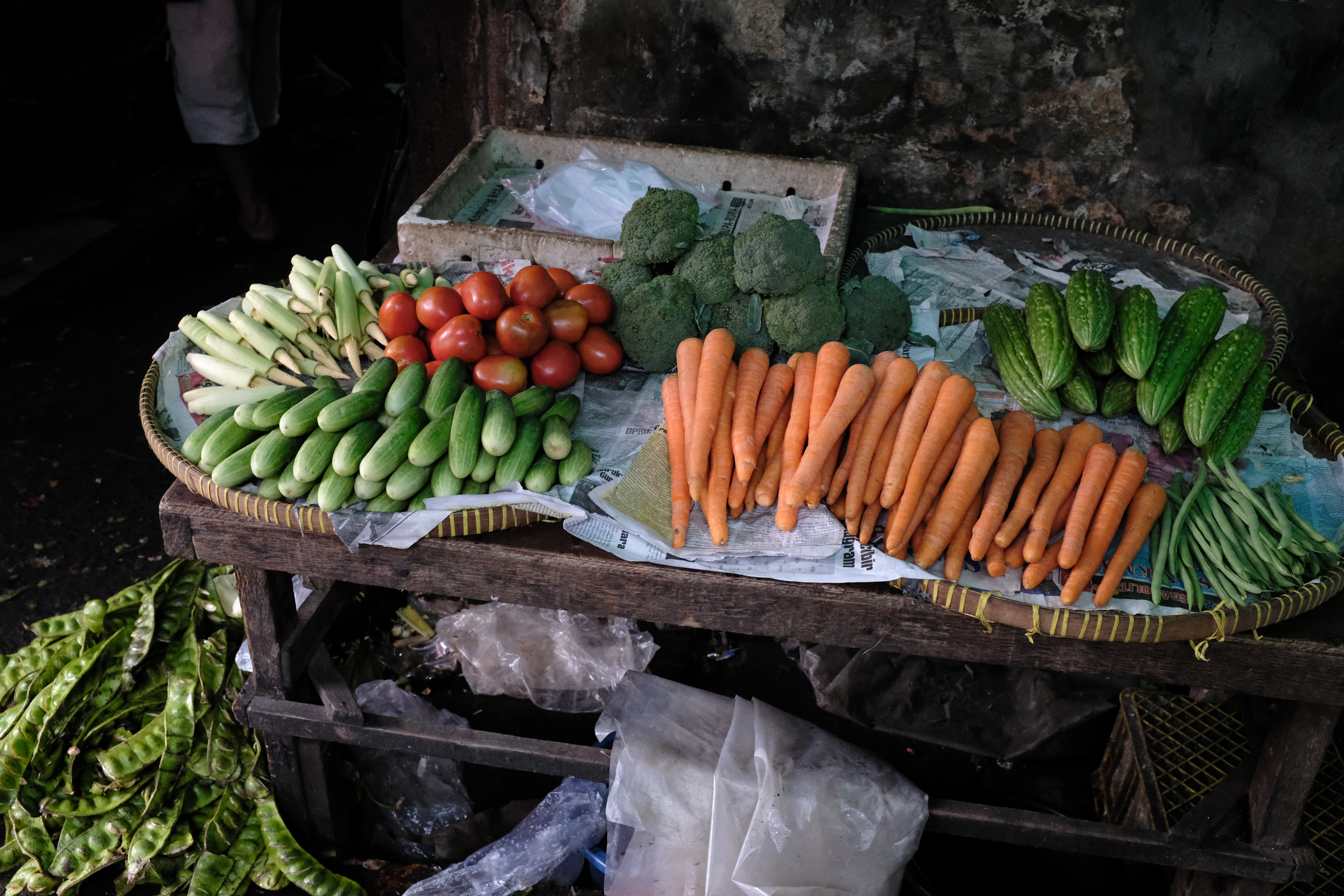
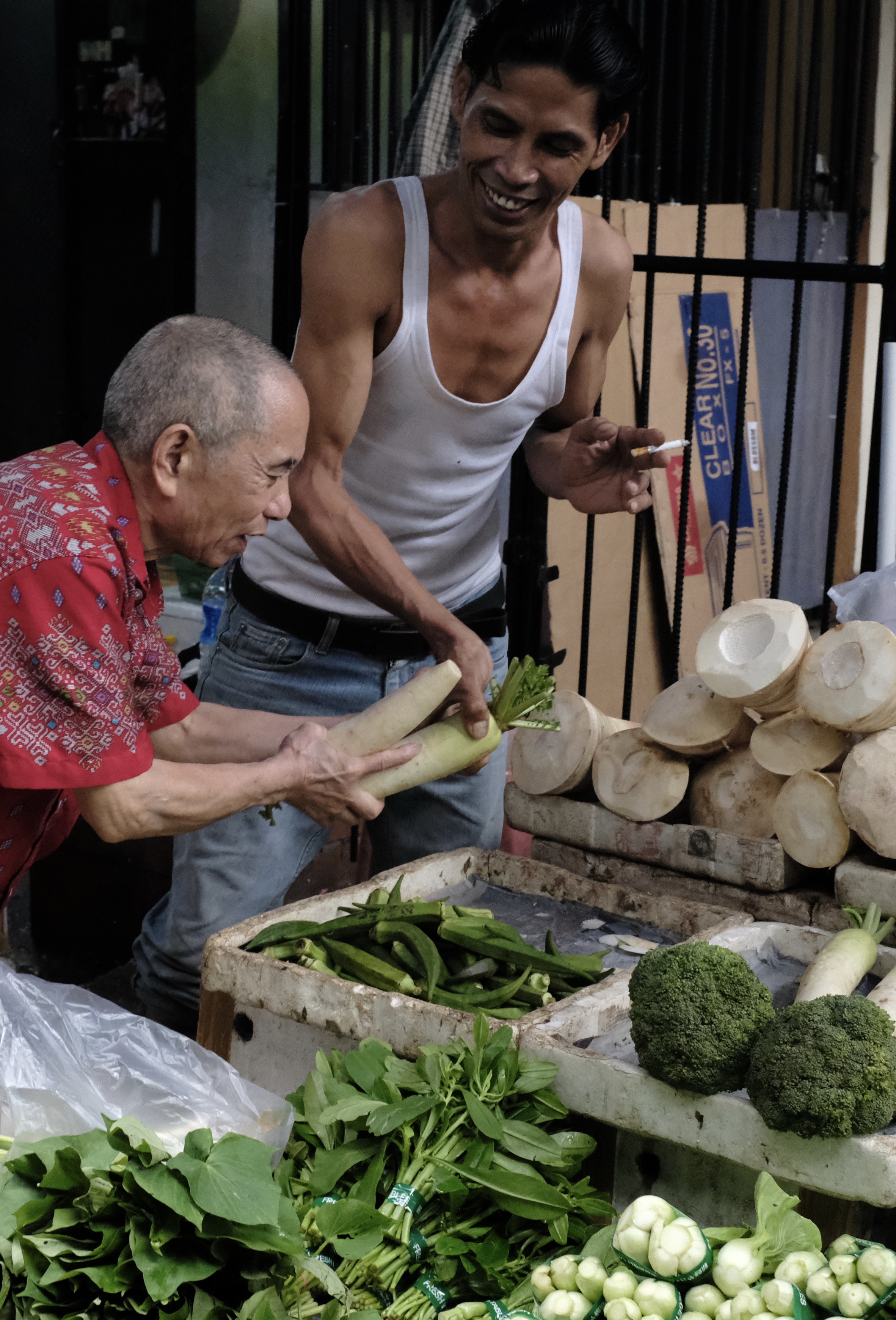
Fresh produce in a market lane in Glodok including here at the bottom left the stinky Petai or Pete (Parkia Speciosa) bunched up and in their pods.
Jakarta’s fertility rate has fallen from 3.99 children per woman in 1980 to 2.3 in 2012. To combat poverty the Government wants to reduce the rate further with family planning but faces religious oppositions.
The Dutch bequeathed on Indonesia not only buildings, bureaucracy, and political borders but also an ethnicity. The Betawi indigenes have their own creole language and customs moulded by centuries of mingling of peoples from across Java, the outer islands of the archipelago and beyond.
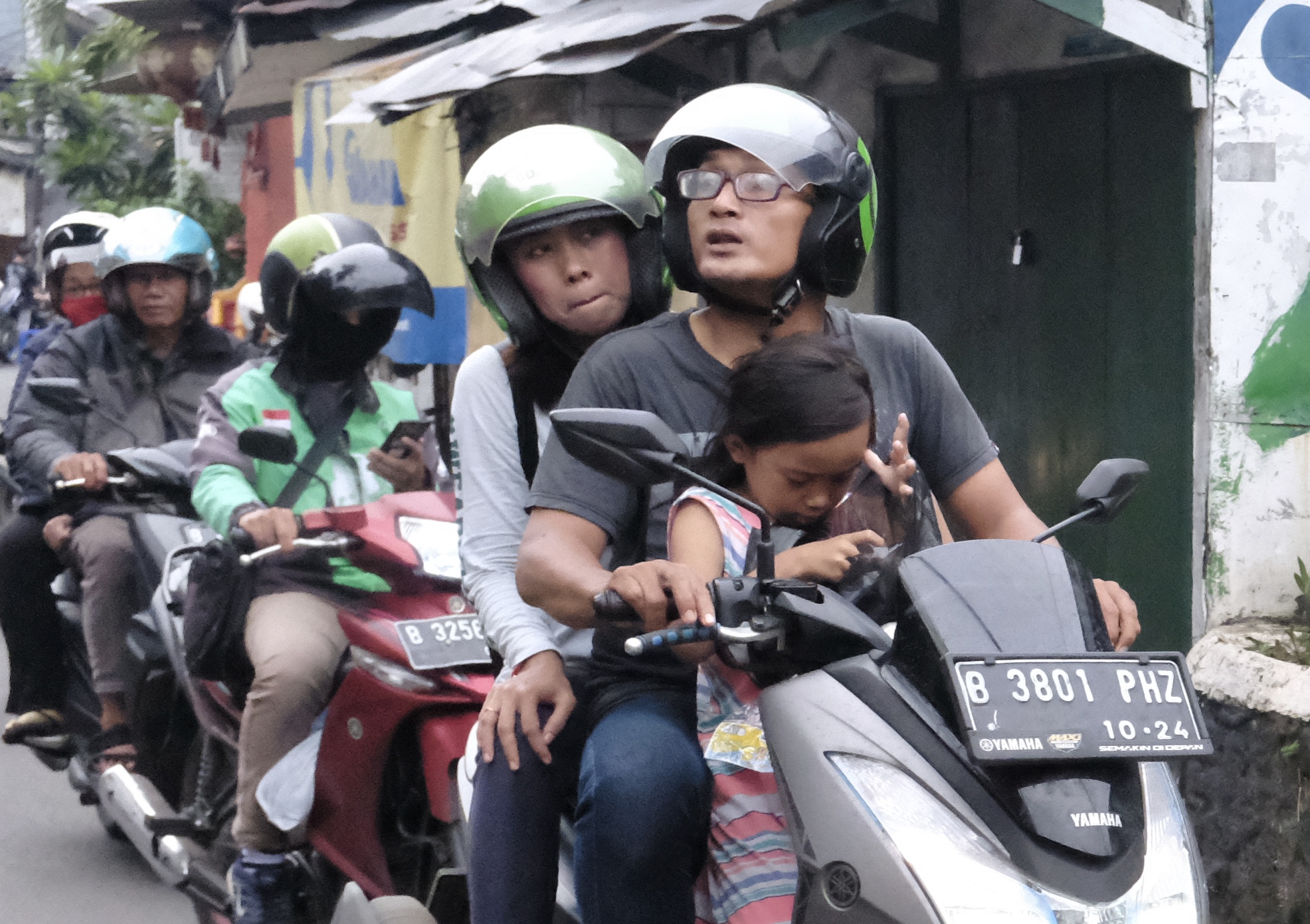
The old Chinese area of Glodok is not far from my hotel which is located close to the corner of Jalan Gajah Mada – 2.2 km away according to Waze. I decided to walk there under a looming sky after a hearty buffet breakfast. Keeping to a northerly direction on the sidewalk, I looped gingerly around puddles, hawker carts, and helmeted Gojek delivery boys on their shiny scooters; now and then darting between shop awnings, dripping tree canopies and tarpaulin banners to avoid the rain.
History books recount the city’s origin as the Hindu-Buddhist port of Sunda Kelapa. To its harbour ships arrived from near and far to trade including during the 16th century fleets from Portugal that were fitted with cannons and guns. To stop the Christian Portuguese from gaining a foothold in Java, Fatahillah a part-Arab military commander sent by neighbouring Demak burned and captured Sunda Kelapa. The town was renamed Jayakarta and became part of the Banten Sultanate.
Despite the official commemoration of Fatahillah’s victory on 22 June 1527 as the city’s birth date, in truth it is to the Dutch that Jakarta to this day still owes most of its history, architecture and cultural melange.
In 1619 the ambitious Dutch governor Jan Pieterszoon Coen seized Jayakarta from its muslim rulers. He razed the town to the ground, evicted its native inhabitants and built on the site a capital and home port for the Dutch East India Company or Vereenigde Oostindische Compagnie (VOC).
The new harbour’s strategic location on the northern coast of Java between South China Sea and the Indian Ocean would help the Netherlands gain a dominant position in the valuable Indies trade.
Coen wanted to call the settlement Nieuw Hoorn after his birthplace. But the Board of VOC who represented powerful shareholders known as de Heeren XVII (the lords seventeen) vetoed his plan. Instead the Directors decided to name it Batavia after an ancestral Germanic tribe from their boggy windswept estuarine homeland in Europe – Batavieren or Batavi as they were referred to during the Roman period.
The city kept its Dutch-given name for over 320 years until 1942 when the Japanese Imperial Army rolled in during WWII and took over. The lightning speed at which the Japanese went about destroying and dismantling Europe’s empires in the East convinced them of their divine destiny not just to become the new masters of Asia but also its liberators in freeing Asian people from the subservience and mental grip of centuries of white men’s rule.
Japan restored back the name Fatahillah gave to the city in a move to win over the hearts and minds of native Indonesians and in doing so inspire and embolden them to rise up against their former colonial overlords.
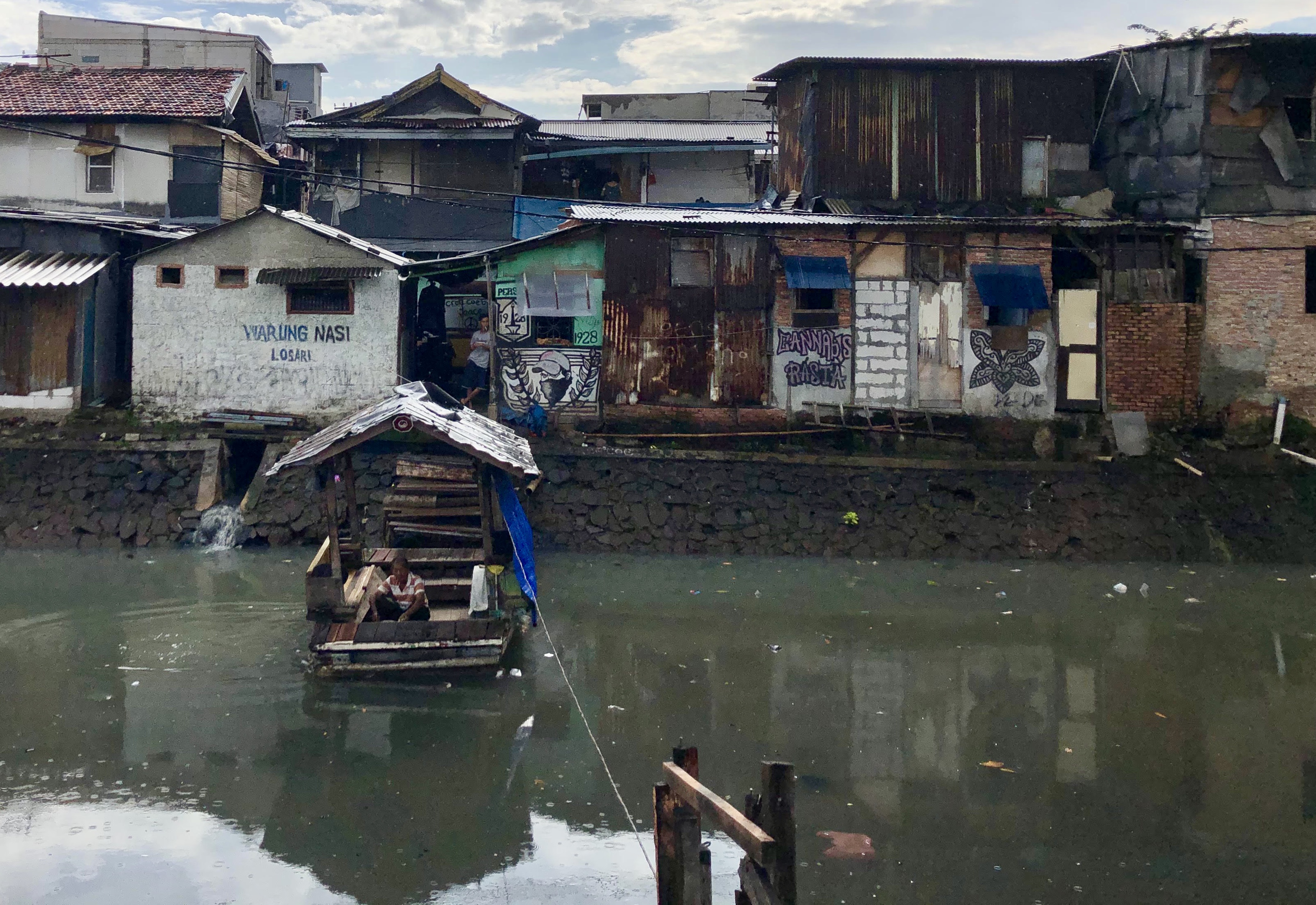
The city’s waterways described in 1897 by an American visitor E.R. Scidmore as places “where small natives splash and swim, women beat the family linen, and men go to and fro in tiny boats, all in strange travesty of the solemn canals of the old country” are today clogged with all manner of rubbish and refuse. About 20% of Jakarta’s daily waste ends up in its rivers and canals contributing to recurring floods and yearly loss of lives.
Lemongrass, a key ingredient in Indonesian cooking, is sold fresh and bundled up in stalks at a morning market.
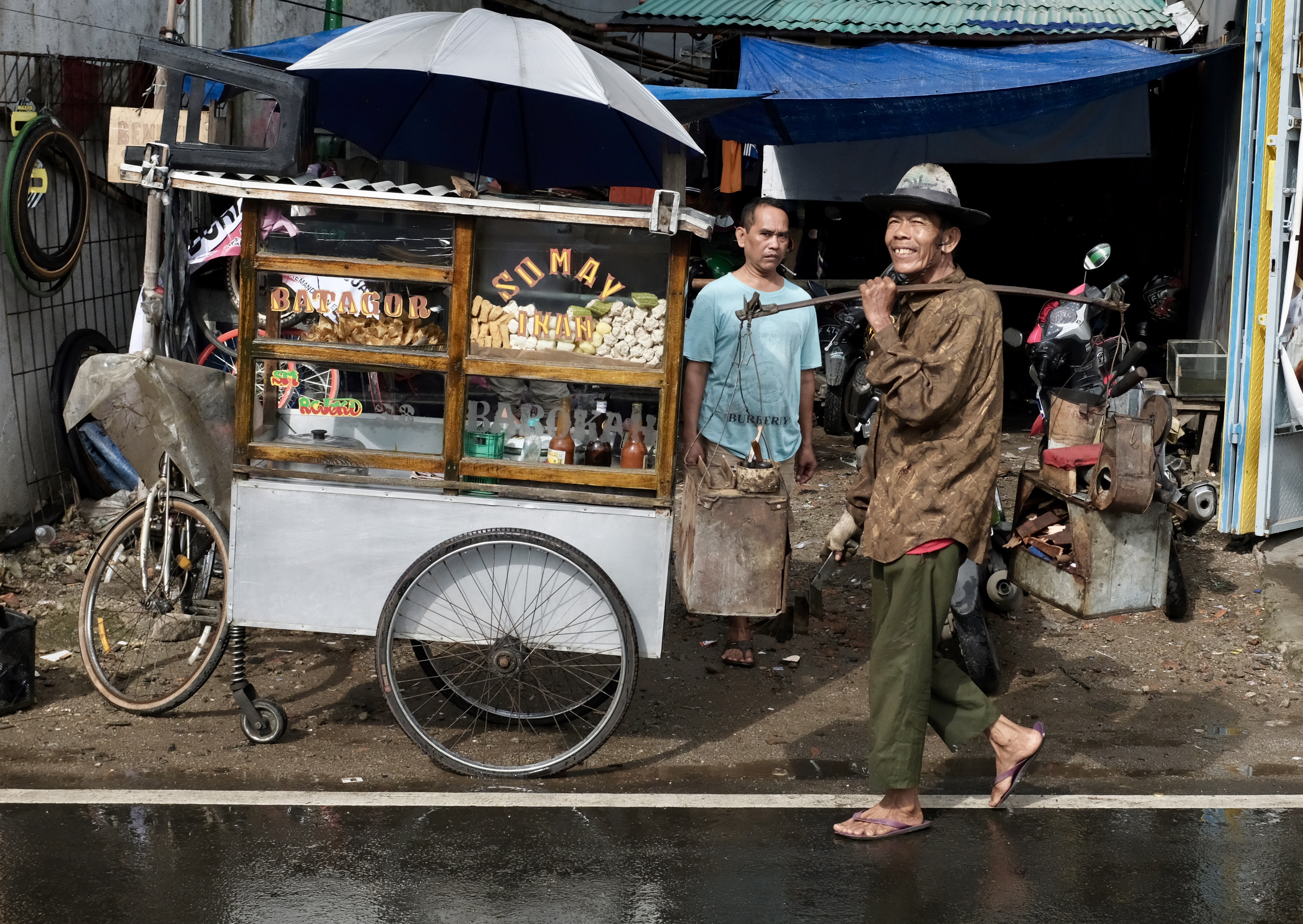
Jakarta’s unofficial symbol: the omnipresent ‘Gerobak’- hawker carts that sell cheap, delicious, although not always hygienic food at every curb and corner (‘kaki lima’) any hour of the day.
Costumed model in Taman Fatahillah (formerly Stadhuisplein), the old administrative heart of Batavia now a theme park with painted street performers, palm-reading key-chain sellers and congregating youths.
Art and Dissent. Some may disagree but Jakarta leads Southeast Asia in its creative freedom and output, breathing truth to the saying that bad times produce good art.
I don’t yet know of any city in the world with the population and problems the size and magnitude of Jakarta that can better this place in the openness, geniality and positive spirit of its people.
Old-styled ‘Sate’ grilled patiently over smoking charcoals on the back of a bicycle before a small crowd of waiting customers.
Inundating thoughts. By the time this girl becomes a grandmother, half the area she is standing now will be under the sea. Jakarta is sinking at an alarming rate (up to 6.7 inches a year) due to over-development, population growth, and climate change.
Recent report suggests that other Asian cities like Manila and Kuala Lumpur have overtaken Jakarta in traffic nastiness but the city’s legendary ‘Macet’ should never be underestimated, even on a Sunday.
Jakarta’s fashion spillover
Delman or horse-drawn carriages at the city’s iconic Monumen Nasional (Monas). In 2018 they were once again allowed to take tourists despite complaints by animal activists of accidents, cruelty and maltreatment.
Saturday shoppers in Glodok
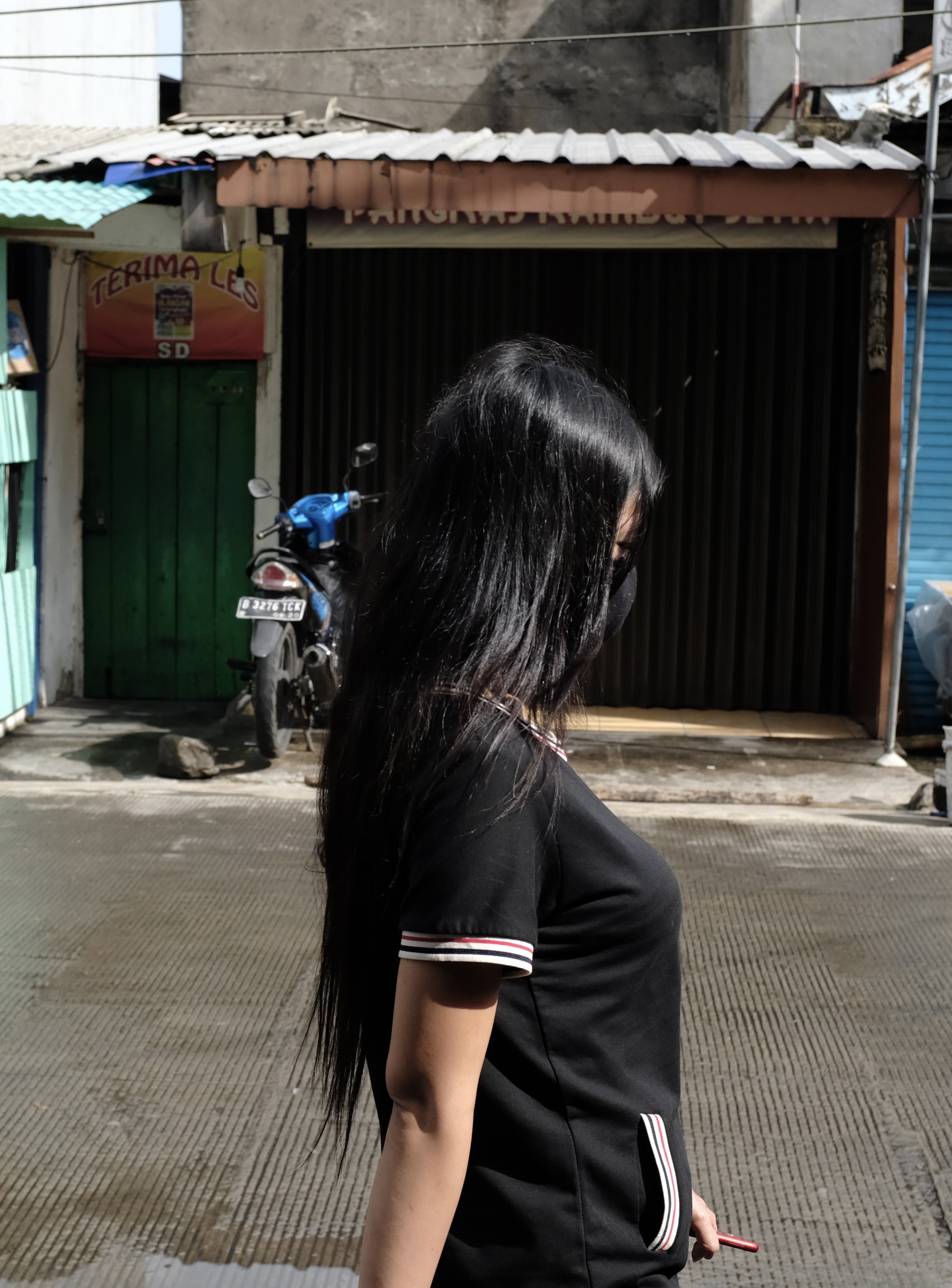
Young woman with face mask seated beside colourful recycling bins outside a tourist shop in Kota Tua, Jakarta’s Old City.
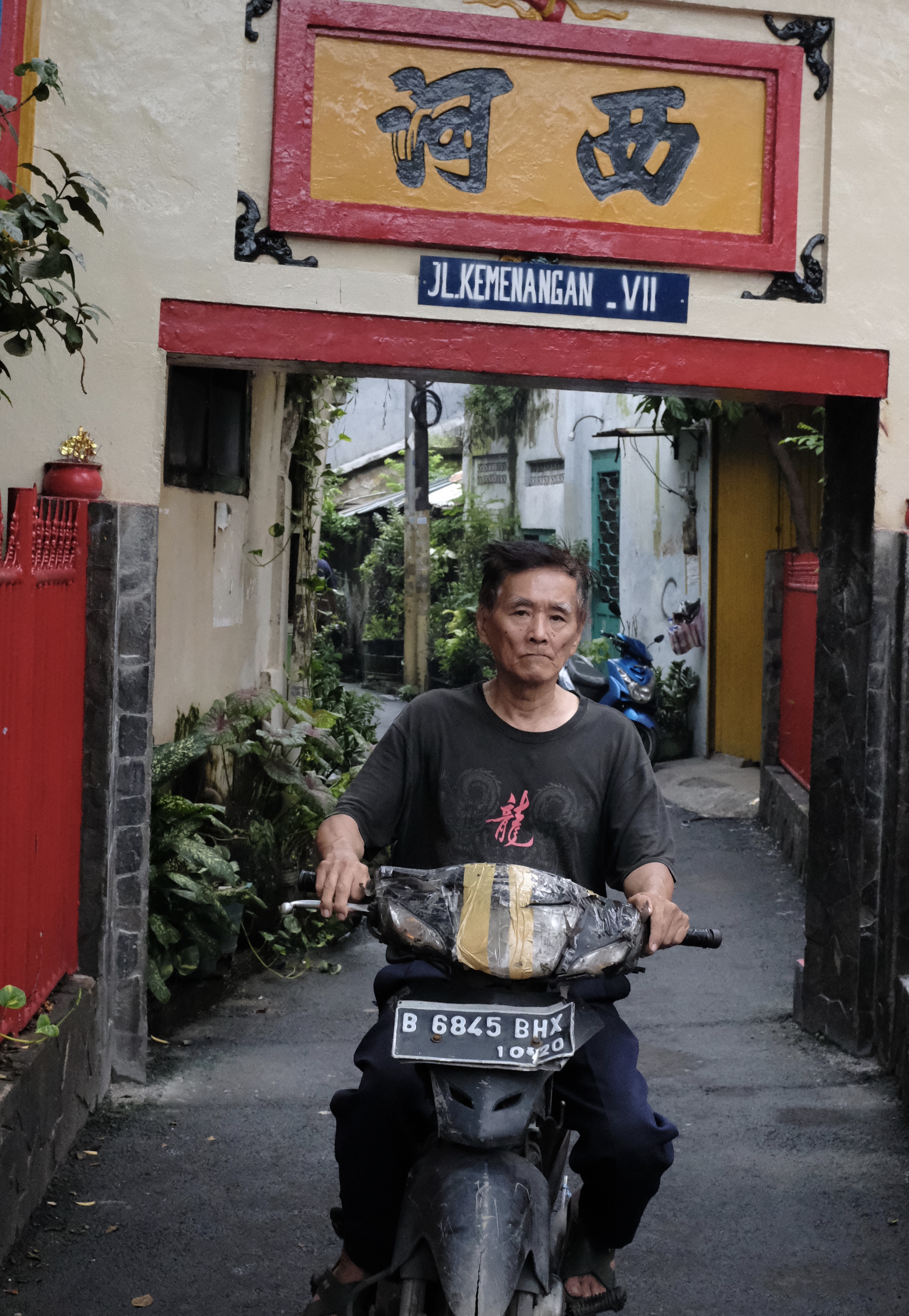
Batavia was built mainly by the labour and commerce supplied by the Chinese who in the early years accounted for a quarter of the entire population.
In 1740 the Dutch, fearing unrest due to low sugar prices and closure of mills, unleashed a pogrom that killed 10,000 Chinese in the city in an orgy of retributive murders and mass slaughters. A year on, Chinese were moved to a ghetto south of the city walls called Glodok that became today’s Chinatown.
Jakarta is the toughest place in the world to be a bin man where rubbish carts are pulled by human muscles.
Vihara Tanda Bhakti also known as Klenteng Tan Seng Ong was renovated in 1974 from an older structure that had stood here for 200 years. This temple is secluded behind Kali Besar, the 18th century canal built along the Ciliwung River to ship goods from the port at Tanjung Priuk to the old city of Batavia.
Success and disproportionate wealth have contributed to Indonesian hostility towards their fellow Chinese citizens. Triggered by an economic crisis, horrific violence against Chinese broke out across Indonesia in mid-May 1998. In Jakarta Chinese shops and homes were burned and 130 women, many stripped and paraded naked, were gang-raped.
After decades of discrimination, in 2000 laws banning Chinese culture and language were finally repealed and Chinese New Year or ‘Imlek’, was at last declared a national holiday in 2002.
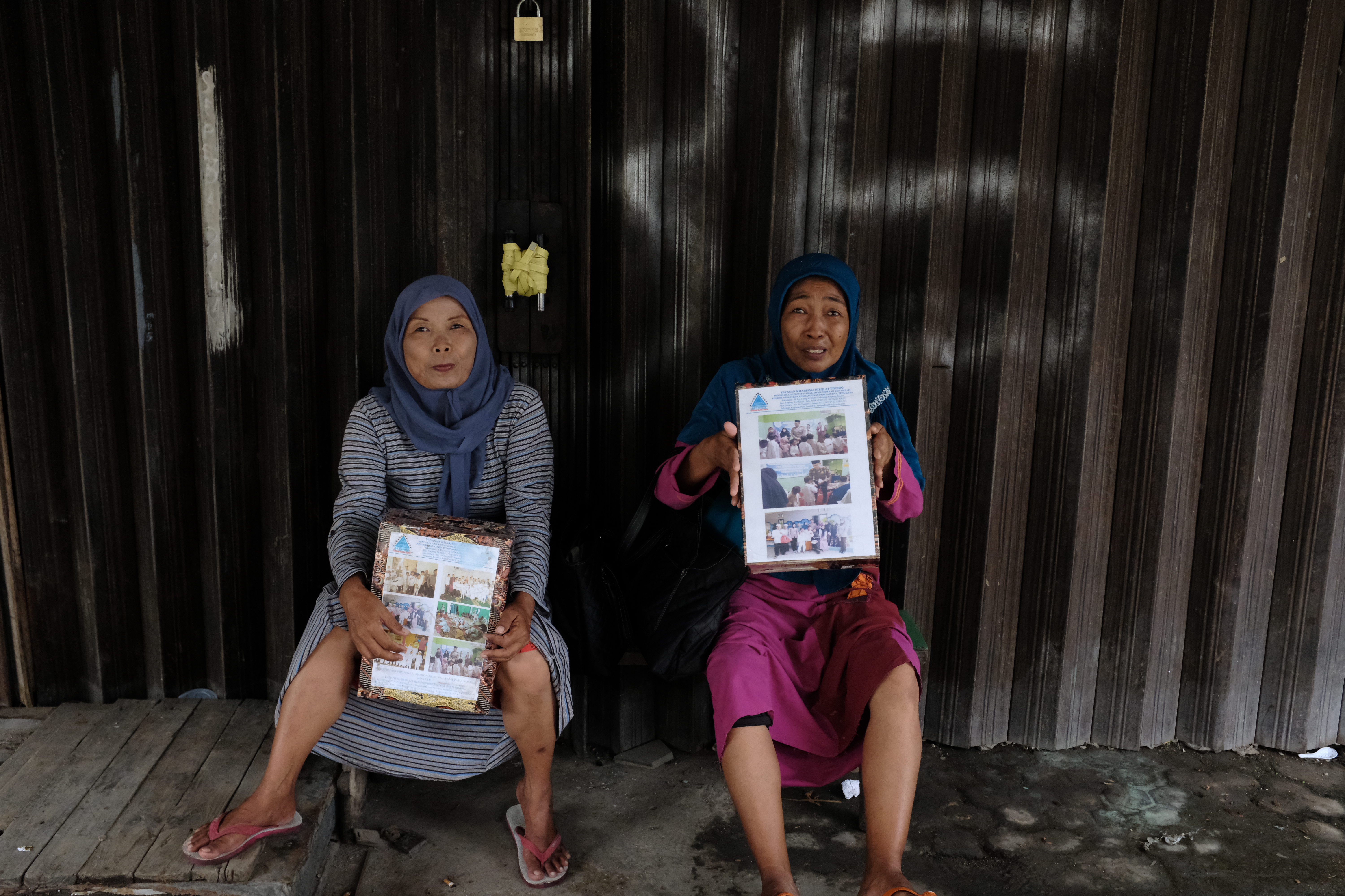
Volunteers for an Islamic charity with donation boxes.
Hope lies with the young. In a country where religious intolerance is perceived to be on the rise, a whopping 89.1% of those aged between 20 to 35 years prefer diversity to conservatism according to the Indonesia Millennial Report in 2019.
Mindful sharing at a temple courtyard
Riesa Tan and her friend preparing for Saturday evening mass at the Santa Maria de Fatima Catholic Church in Glodok which looks on the outside every bit like a Chinese temple. Nearly half of all Chinese-Indonesians belong to the Christian faith with Catholics making up 15.76 %. according to the 2010 census.
All pictures and texts copyright Kerk Boon Leng March 2020
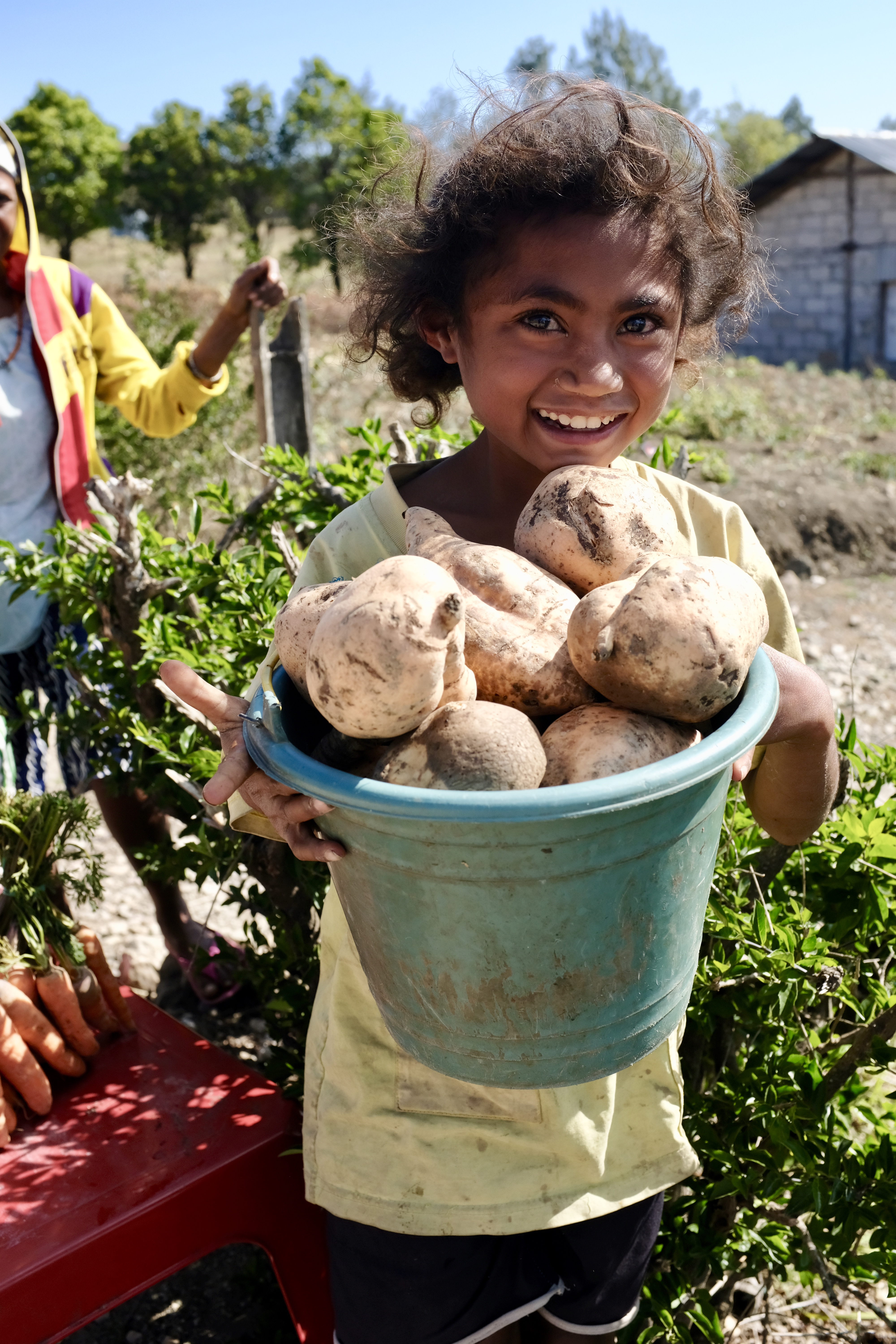
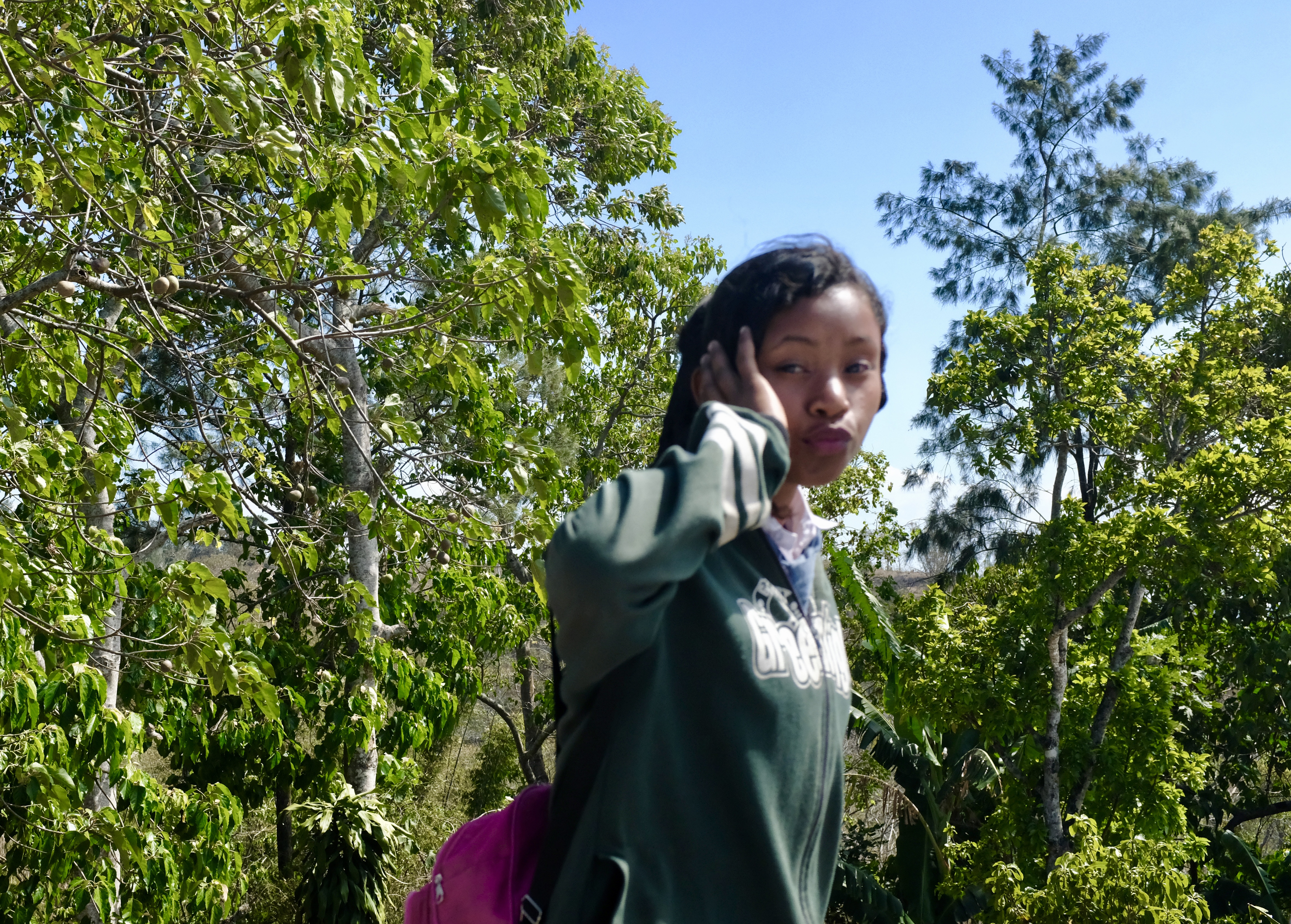
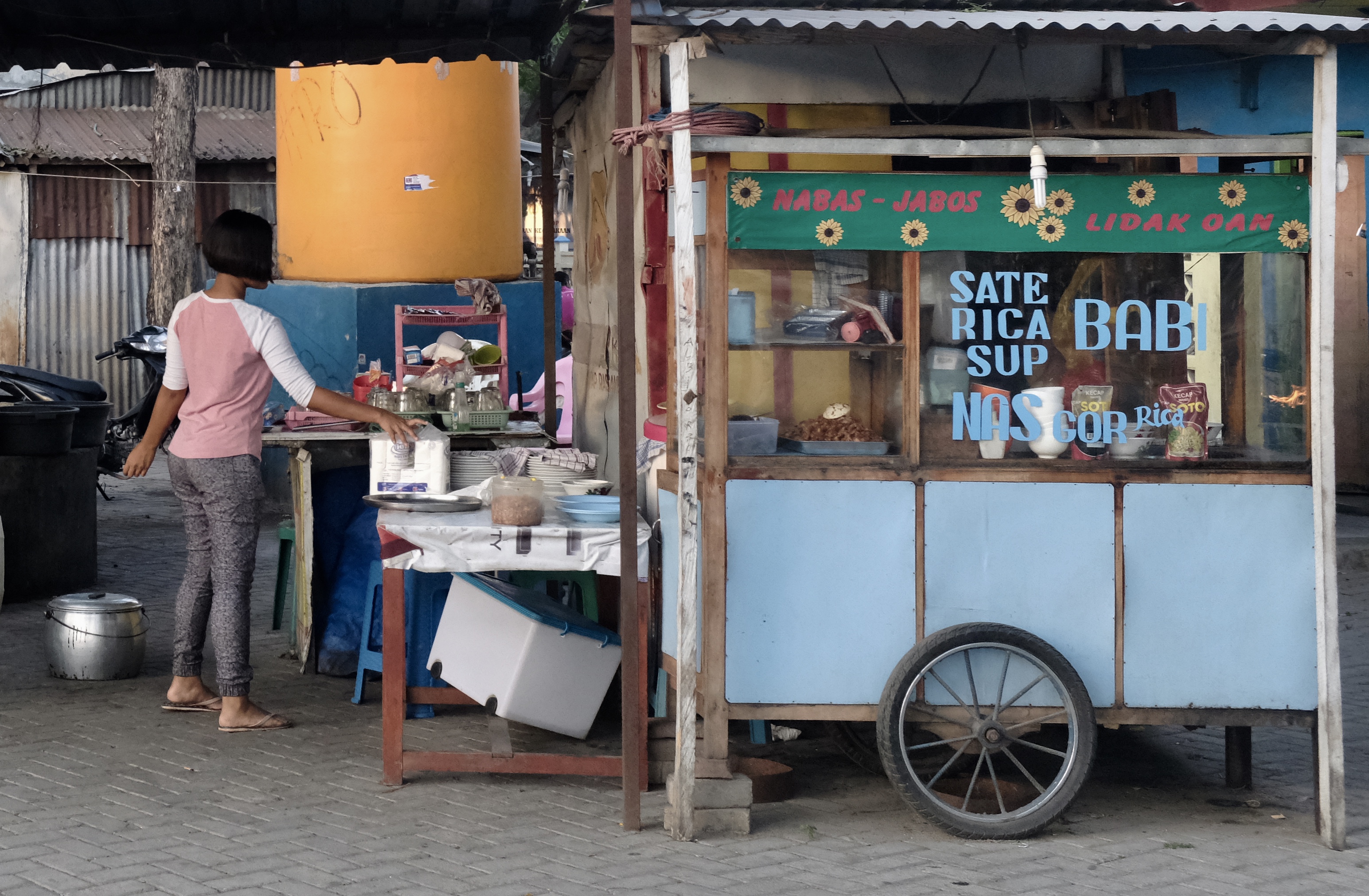
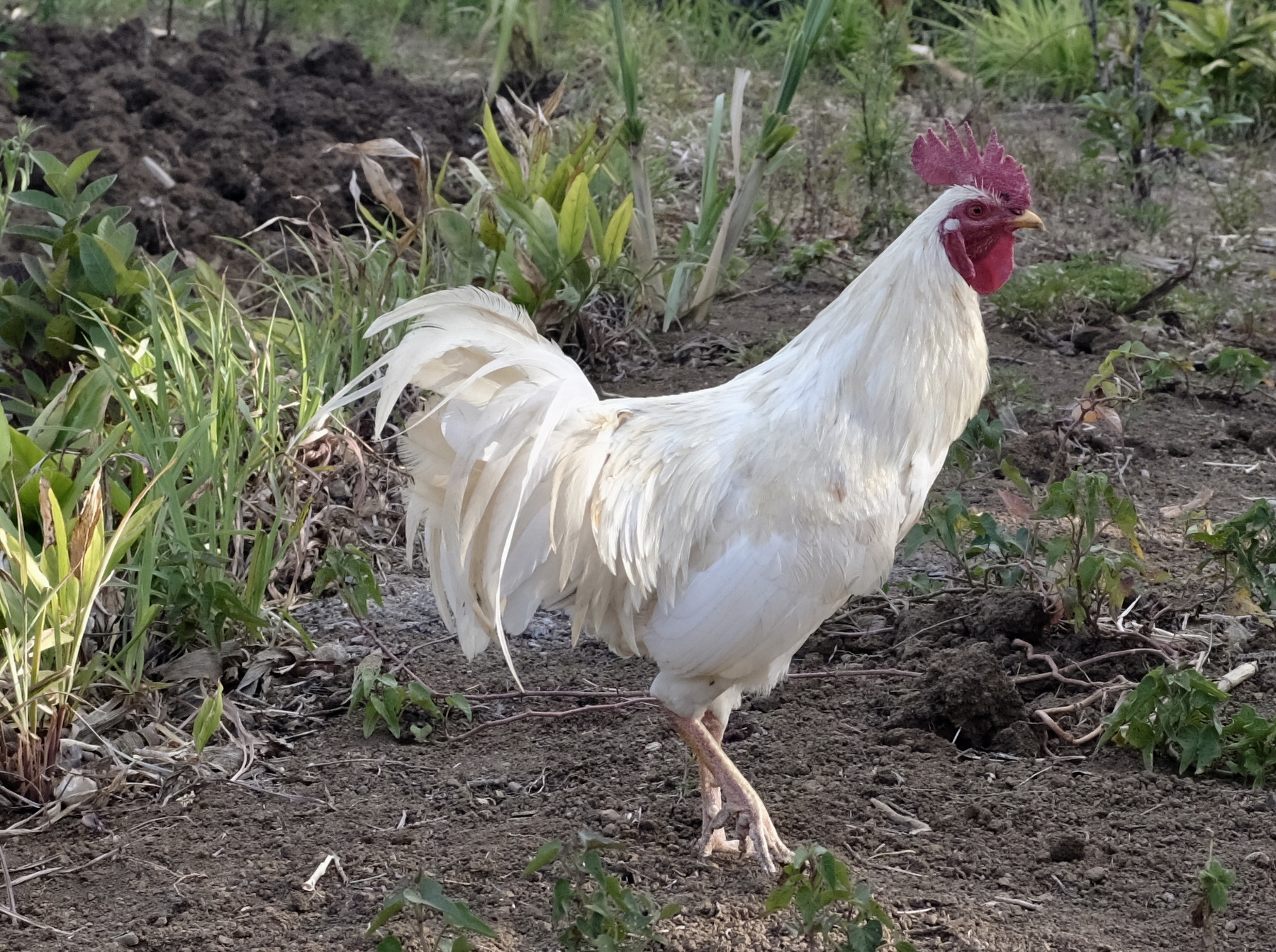
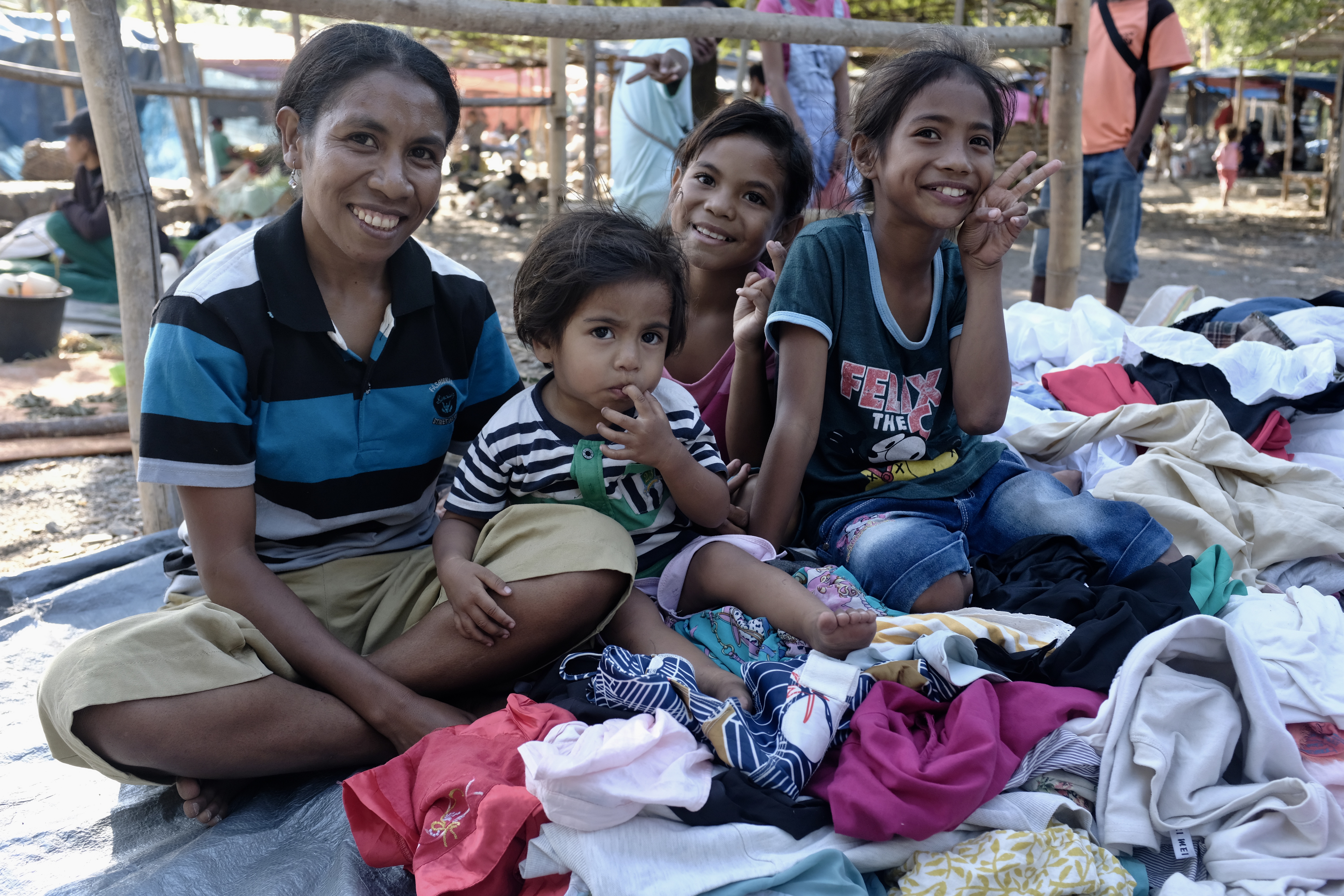
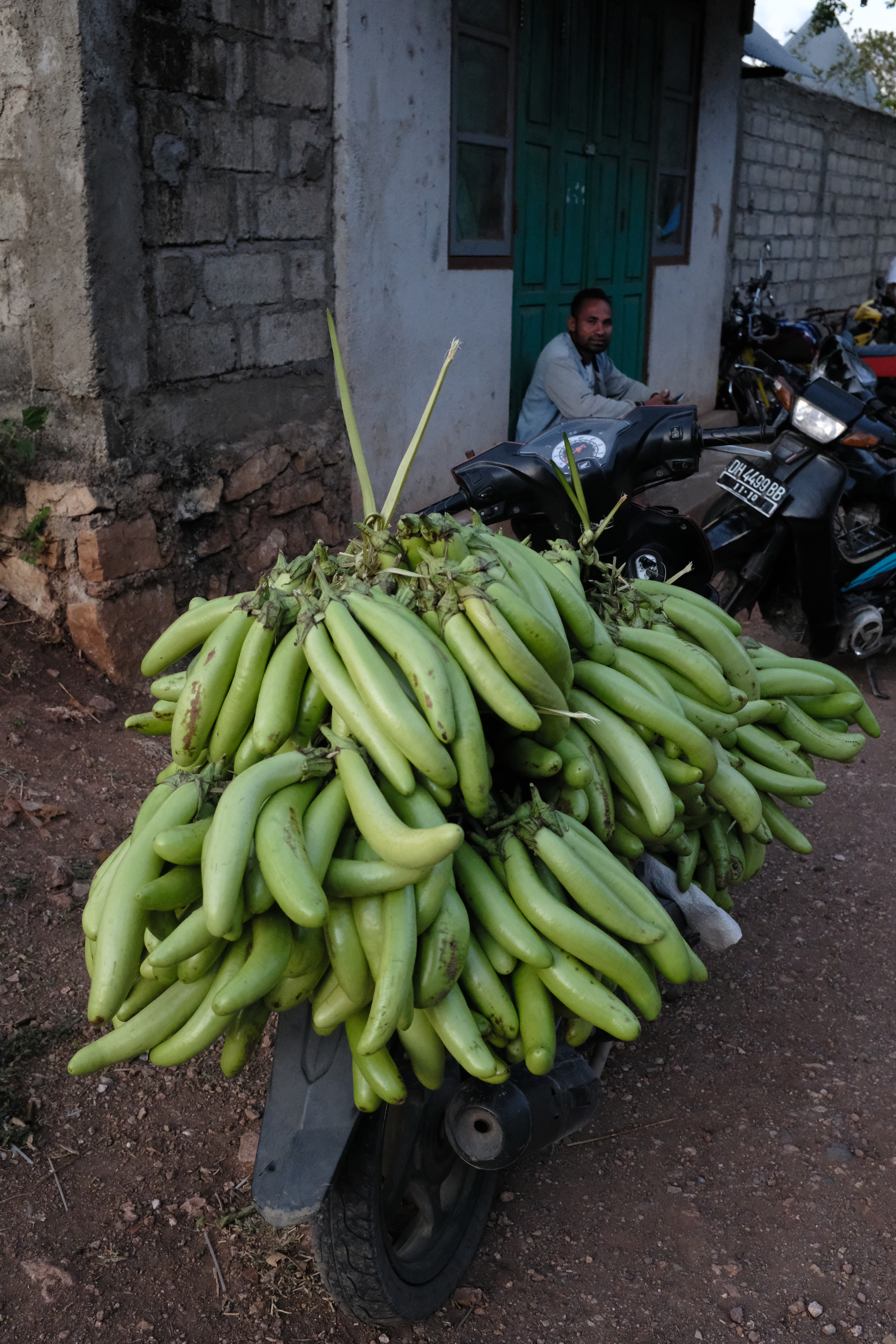
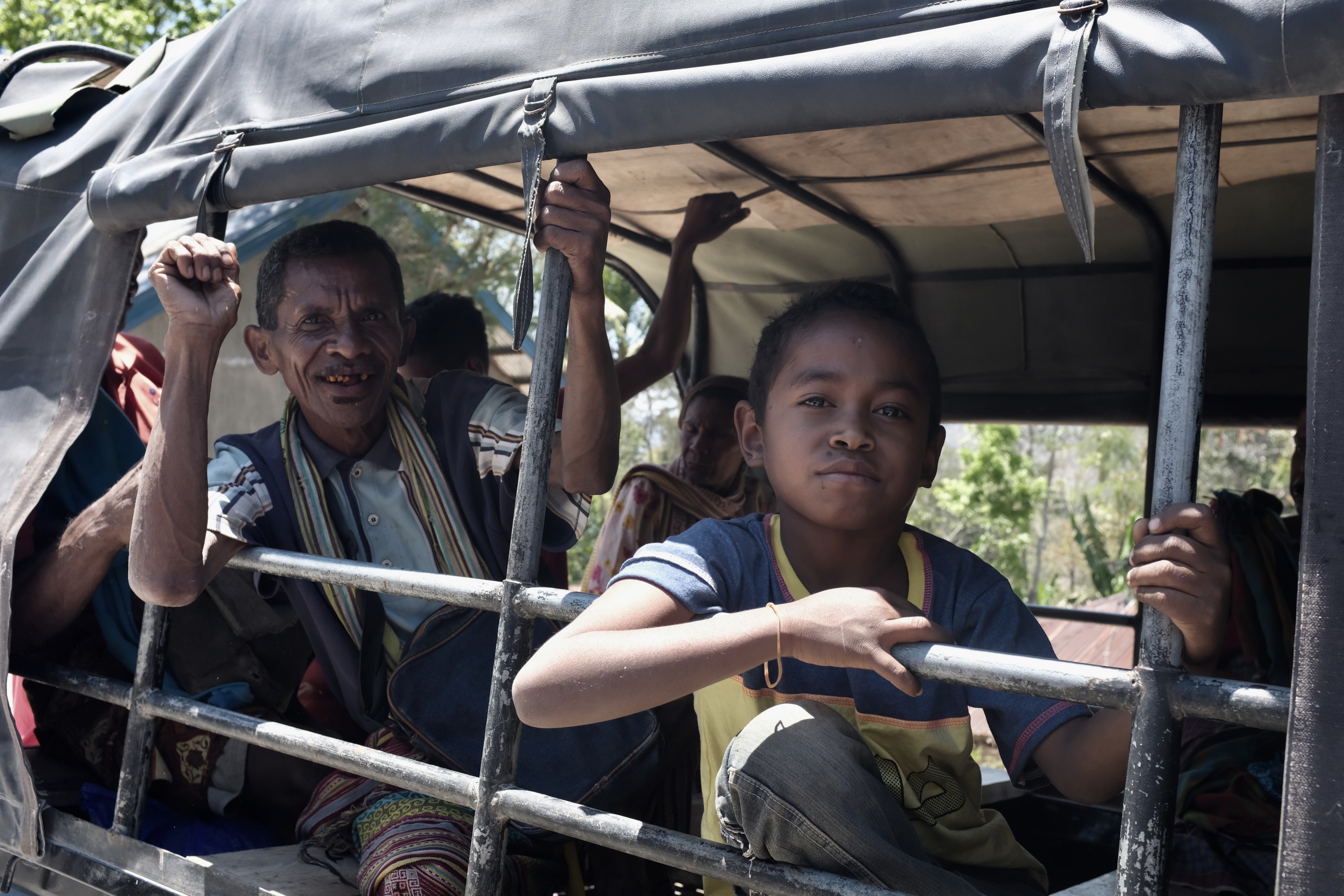
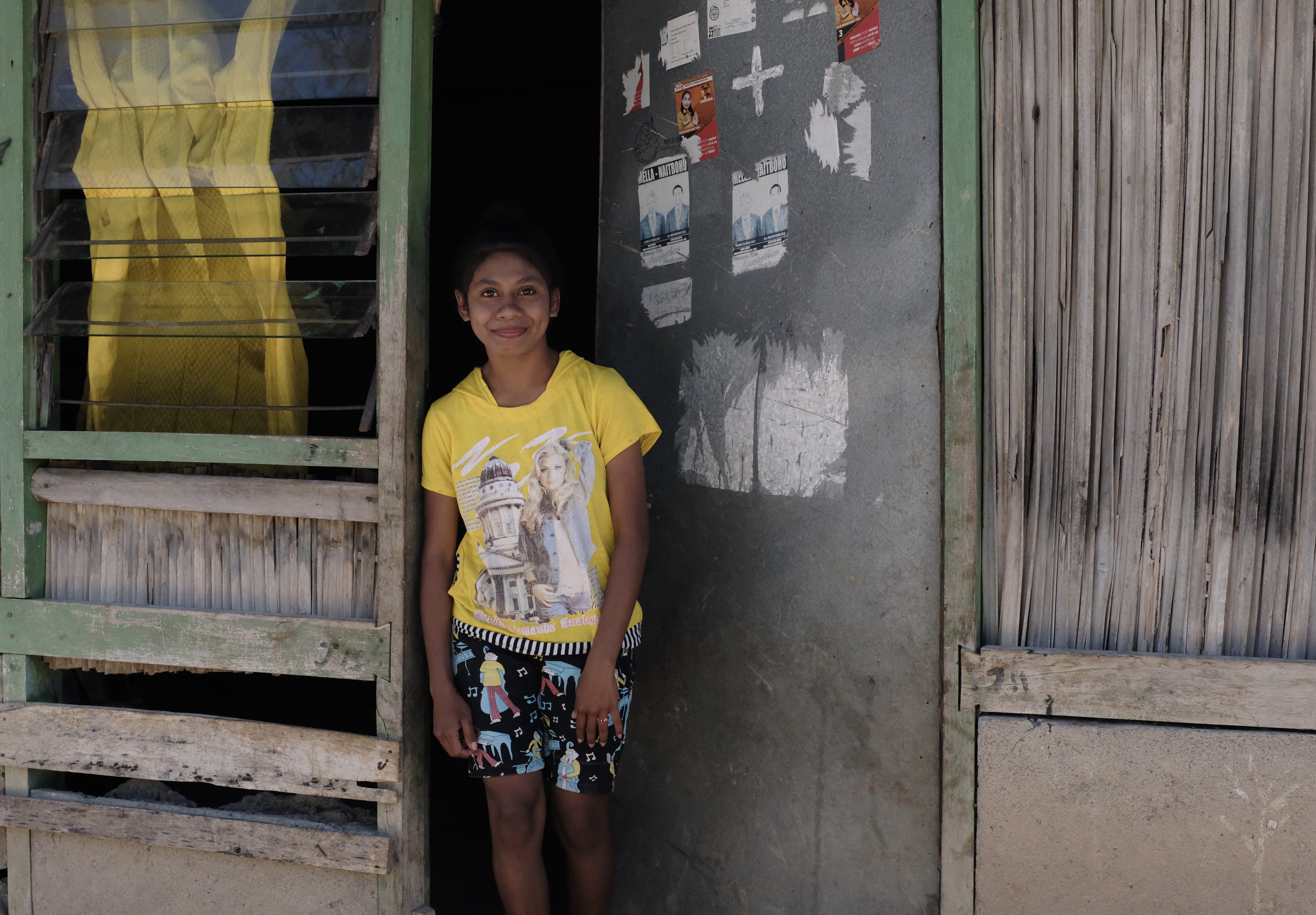
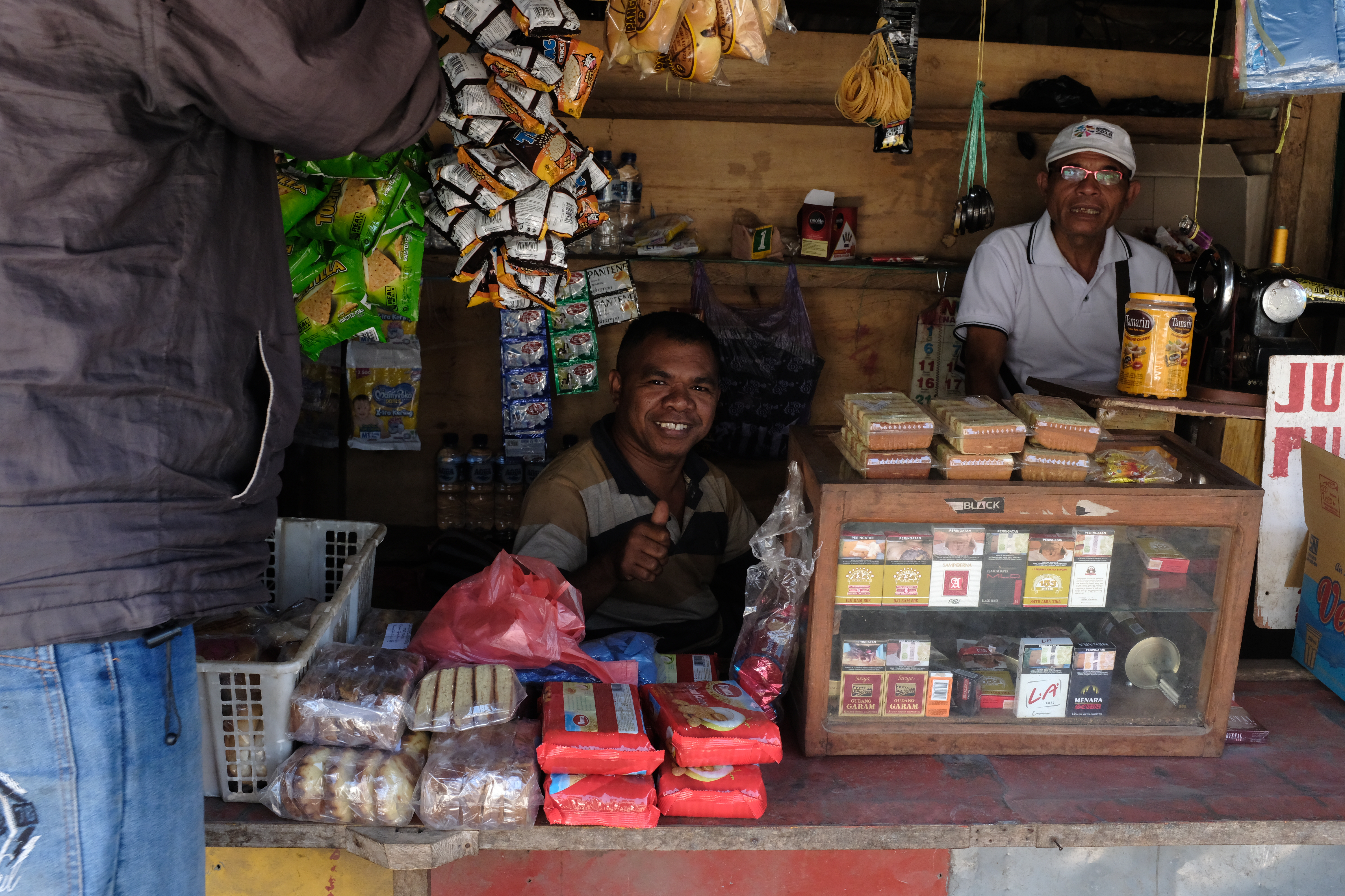
Fresh from the family farm: Girl selling vegetables in Fautkolen
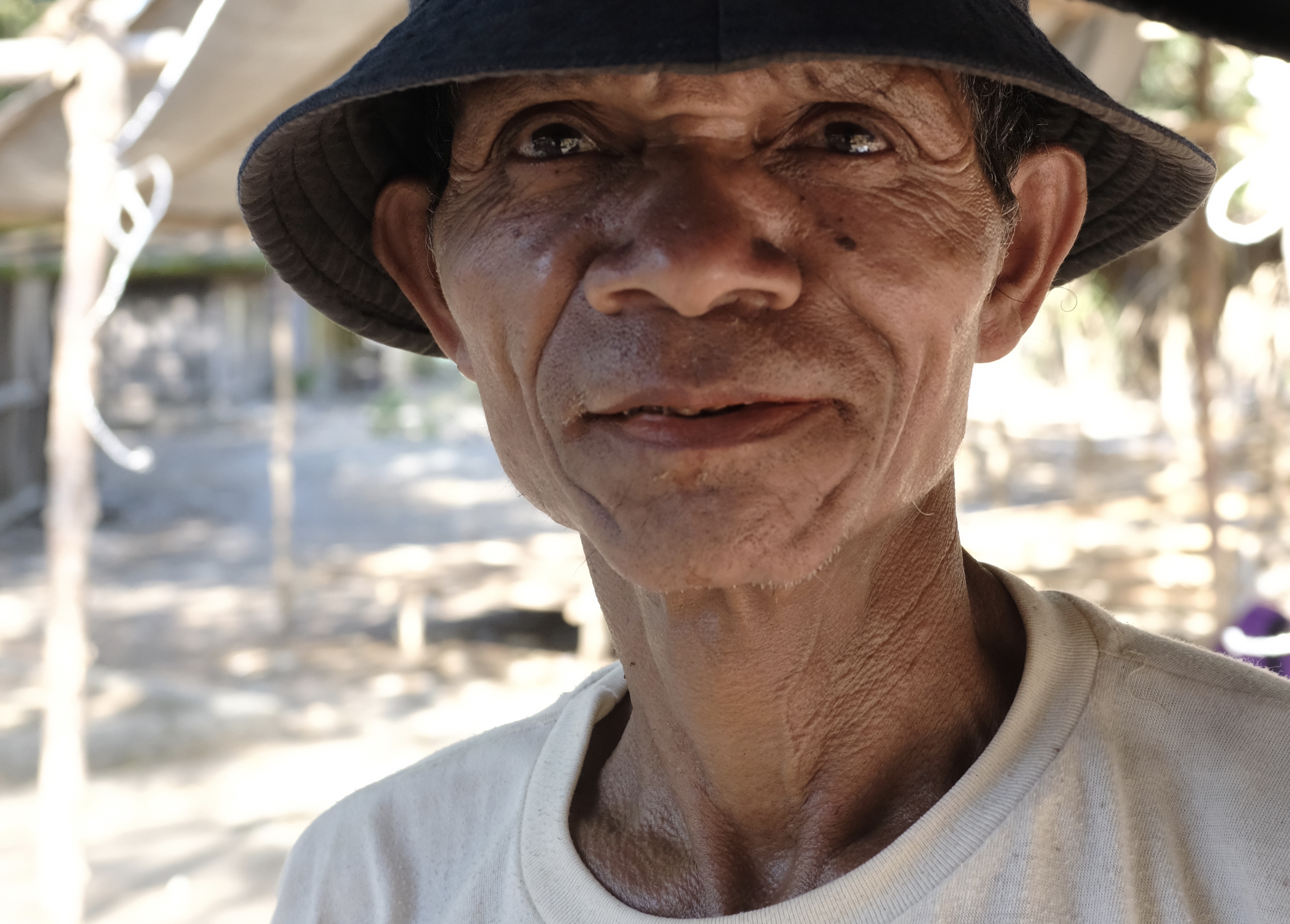
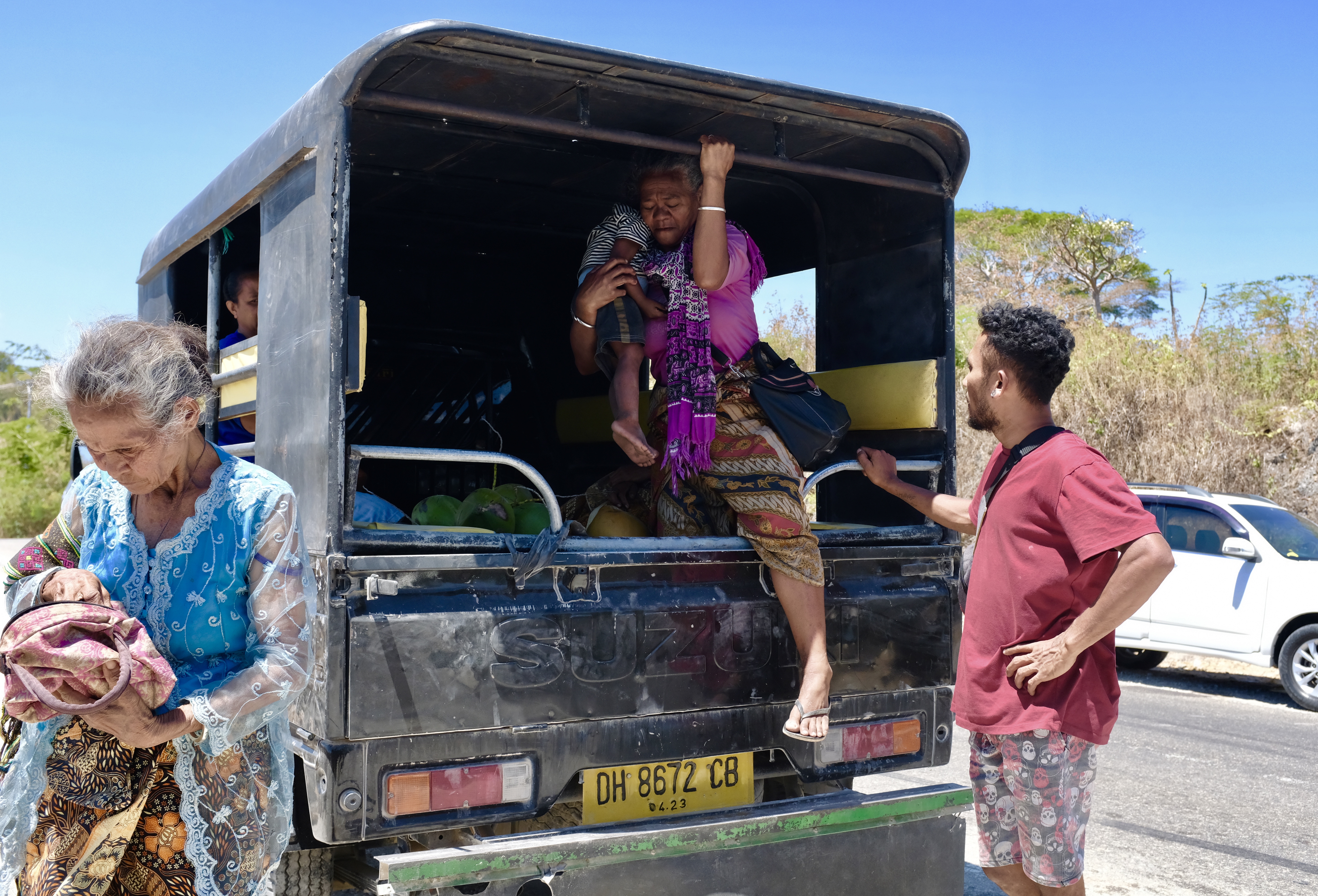
Wifi-ed and waiting without dinner plans at the lobby of the Victory Hotel in Kefamenanu, a major town in inland West Timor, I struck up a conversation with a man I knew was Chinese-Malaysian by the way he spoke Bahasa with the reception. He told me he was in town to mass recruit workers for his oil palm plantations in Sarawak. “What are you doing here?” Mr Hong enquired of me in Mandarin. He said he had never before in his many visits to West Timor spanning over ten years met a person from Malaysia, especially one who was there with no specific reason or mercantile purpose.
Aside from sourcing for discounted labour, he was there also for lizards. Timorese catchers supply him with geckos when they can. These spotty arboreal reptiles with specimens up to a foot long, are sold for boiling with ginseng and herbs into a kind of Chinese witch soup. The geckos (tokek in Indonesian) are now hard to come by because much of their homes in the forests have given way to mining and agriculture.
“I don’t know what brings you here. There are no places to visit or things to do; no nice food, no KTVs or women to enjoy. Last time there were a few places that had ladies from Java but nowadays not anymore” he lamented before excusing himself to go upstairs to his room. A male middle-age outcall masseur the hotel had arranged for him had just checked-in at the front desk.
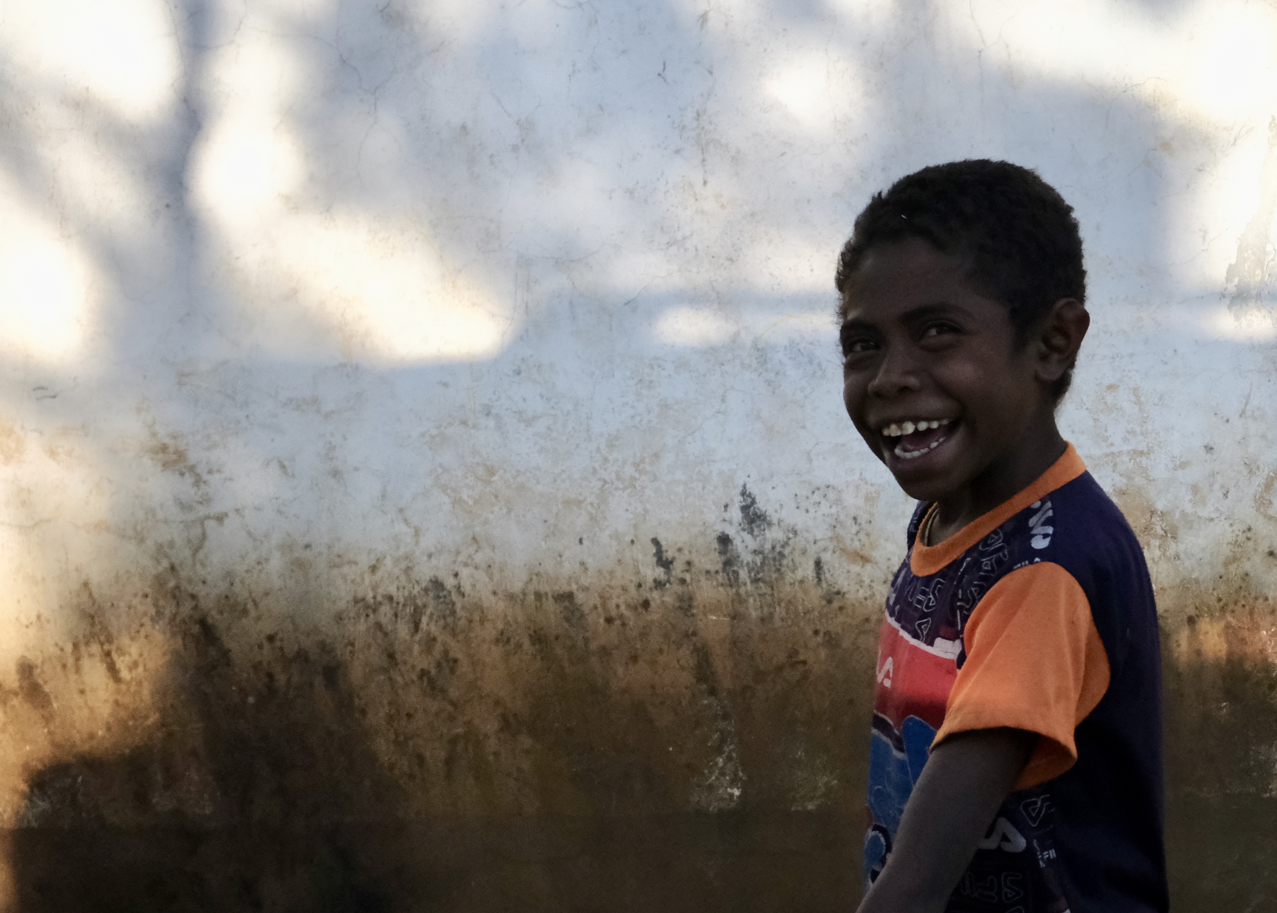
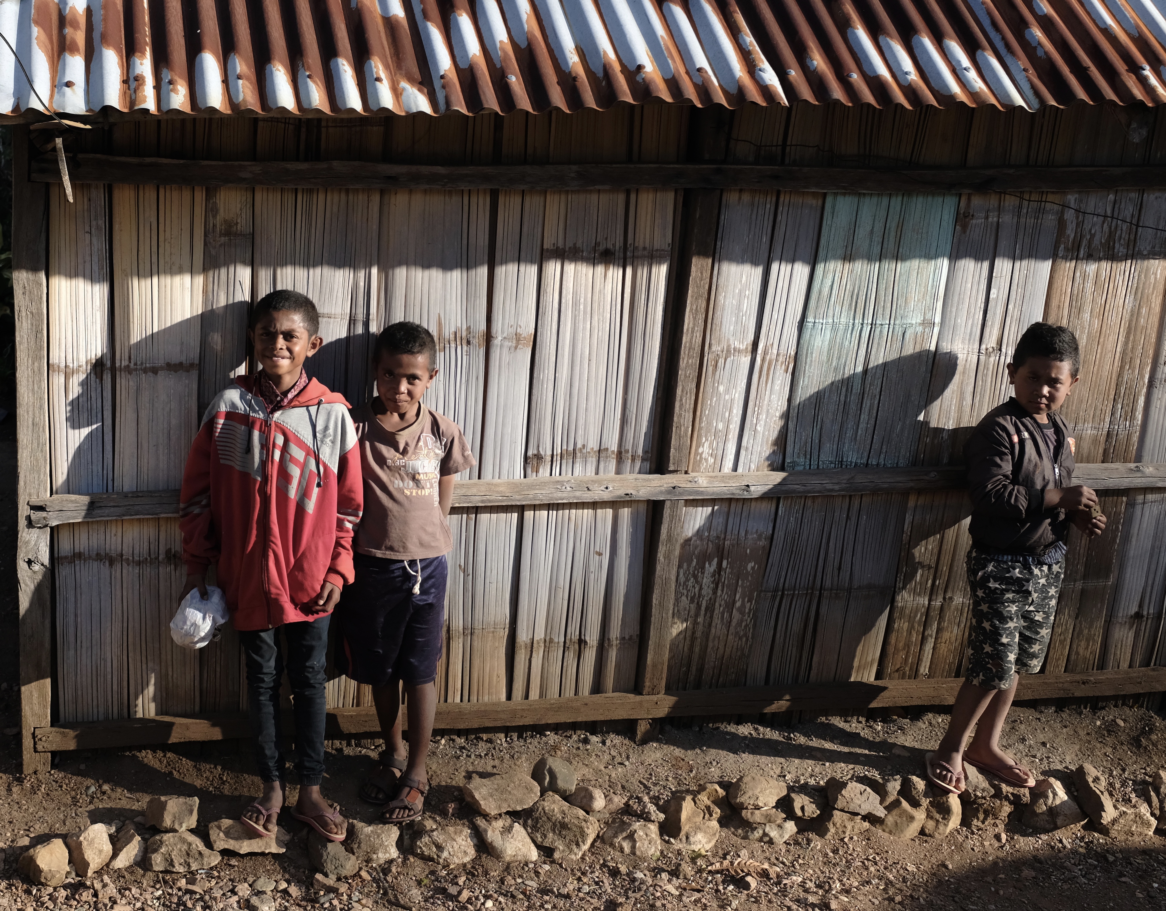
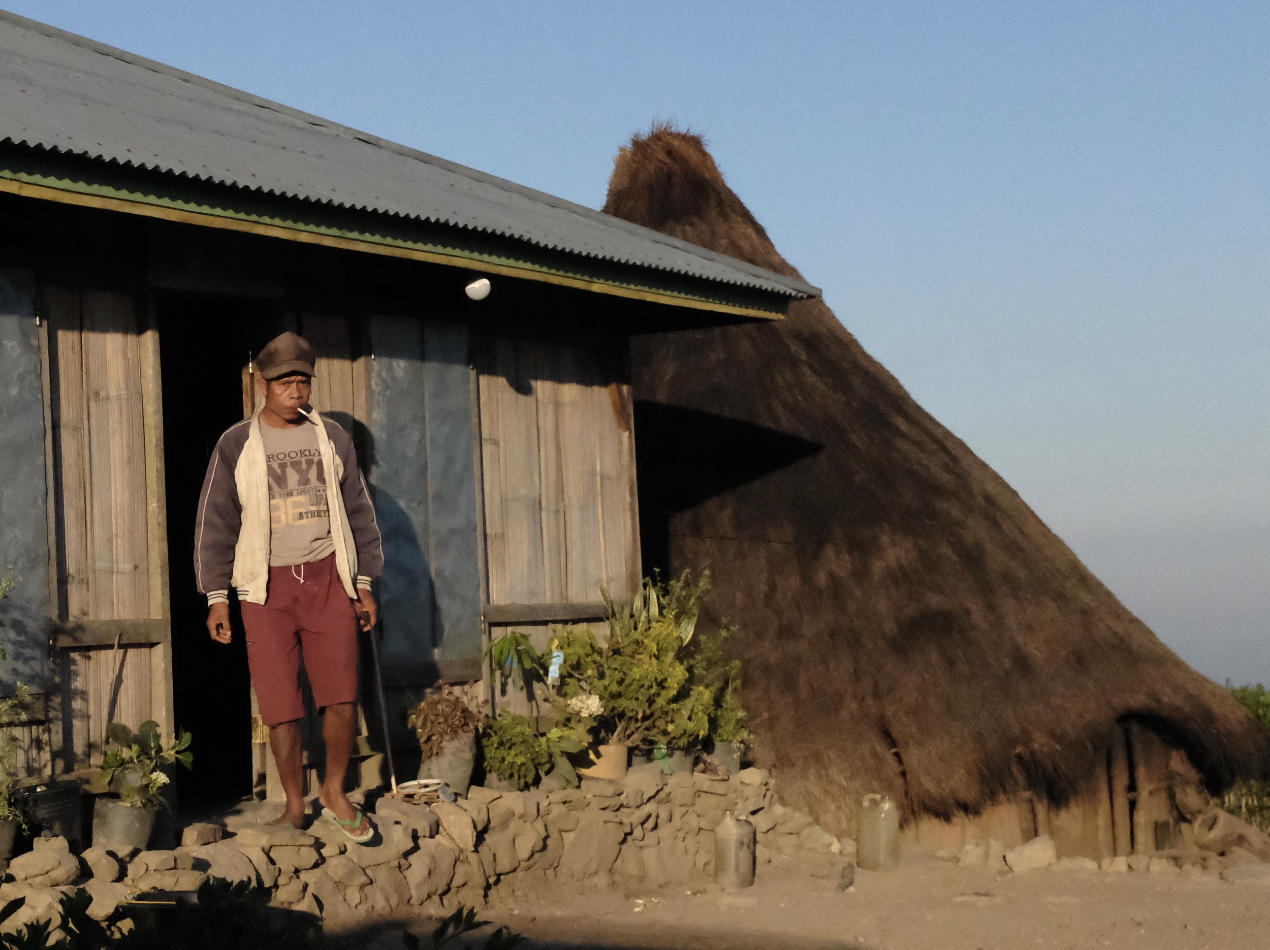
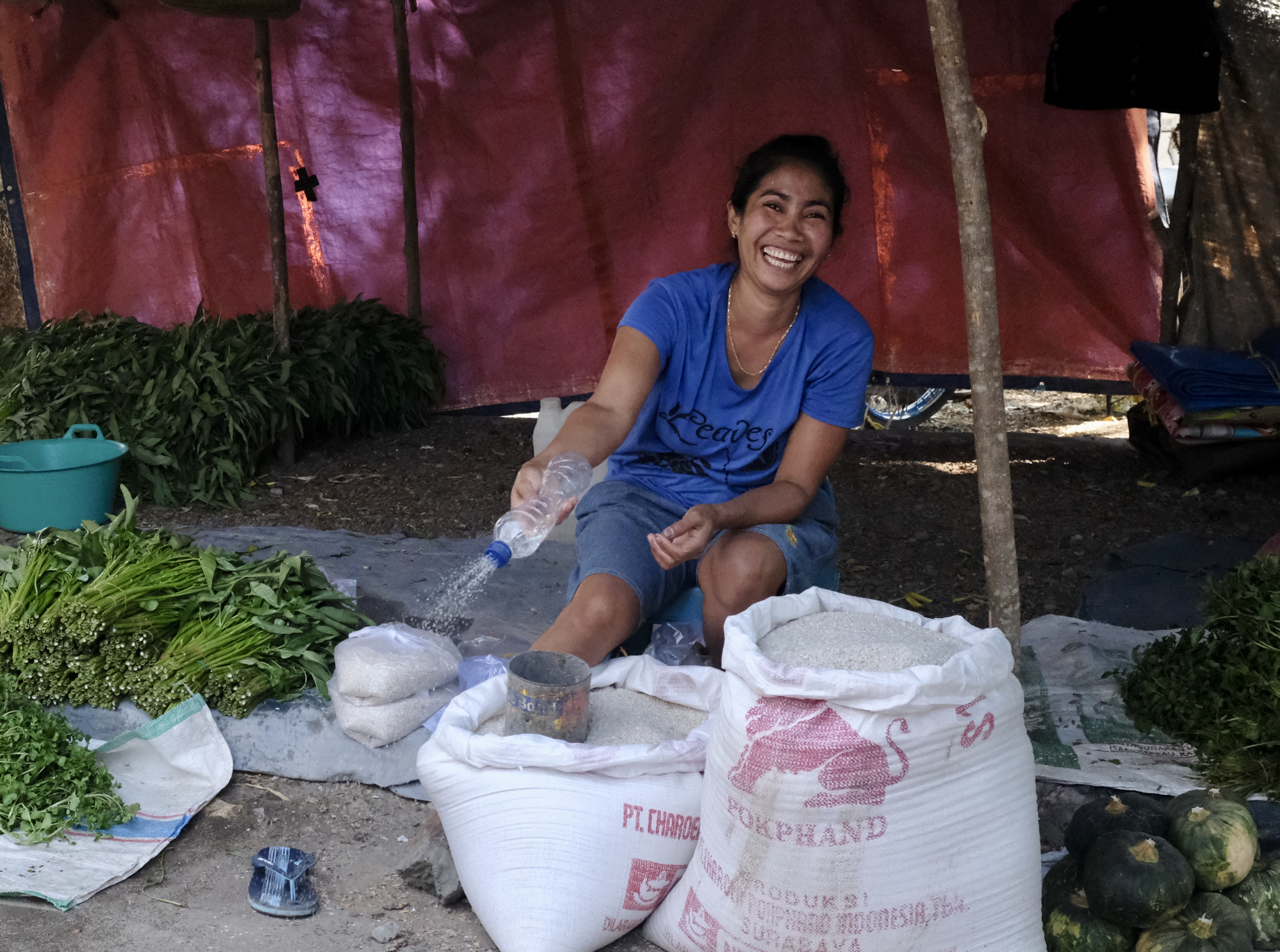
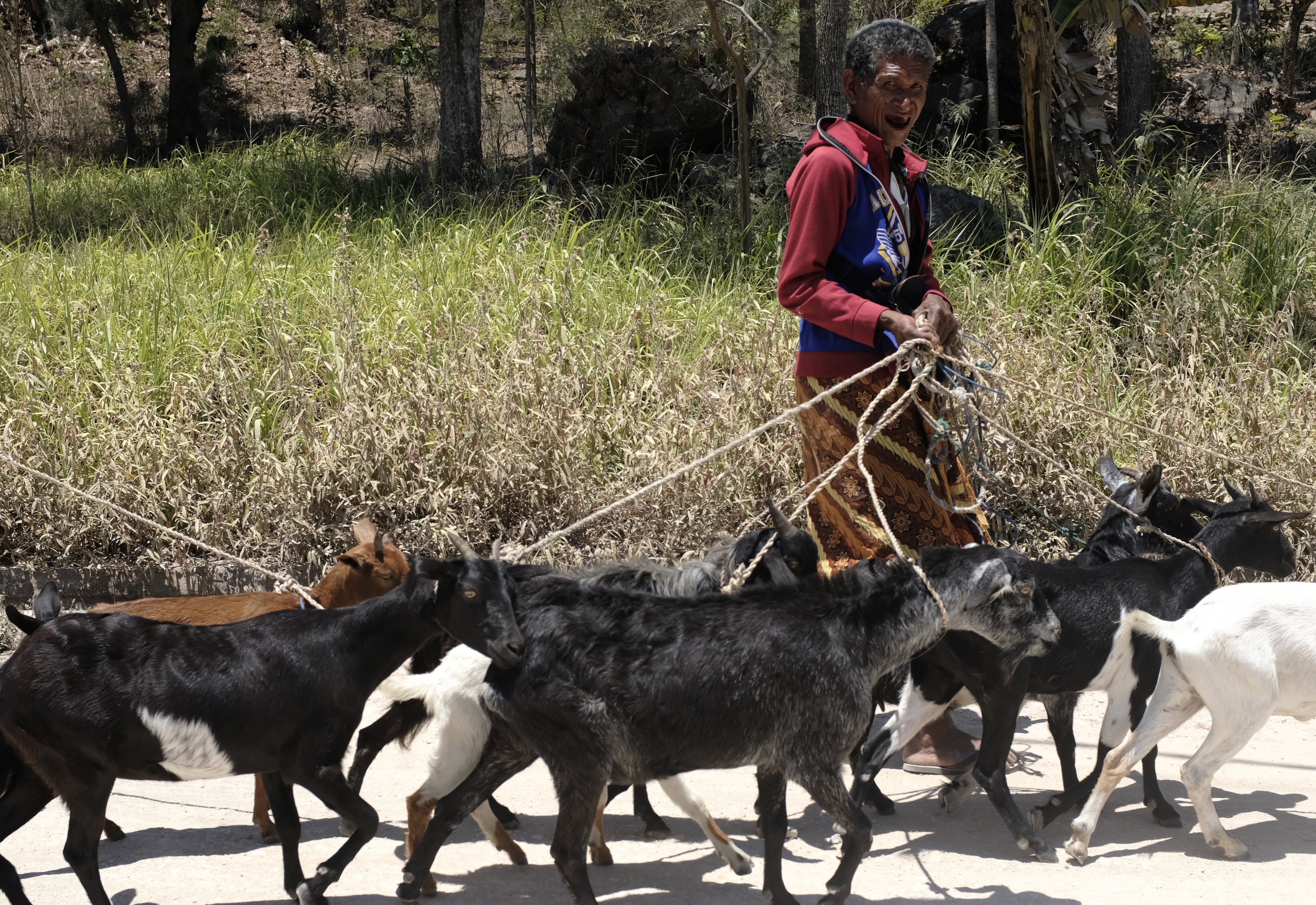
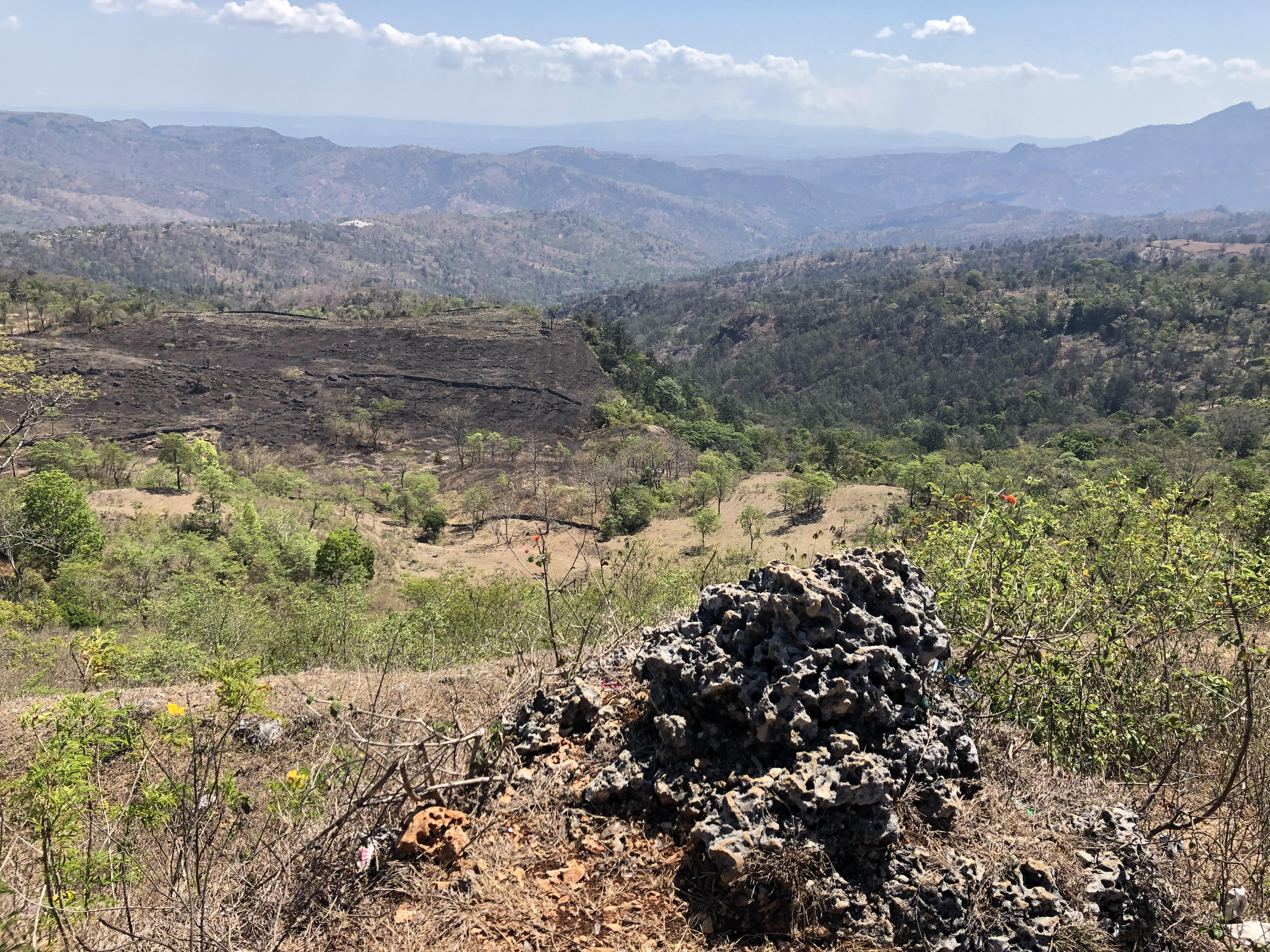
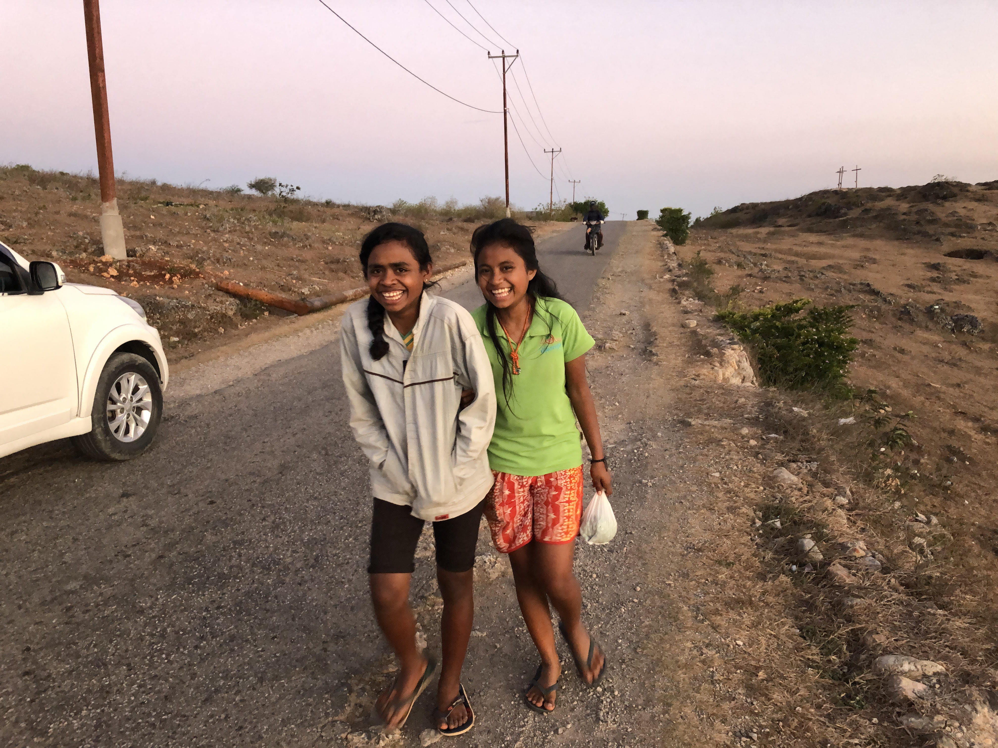
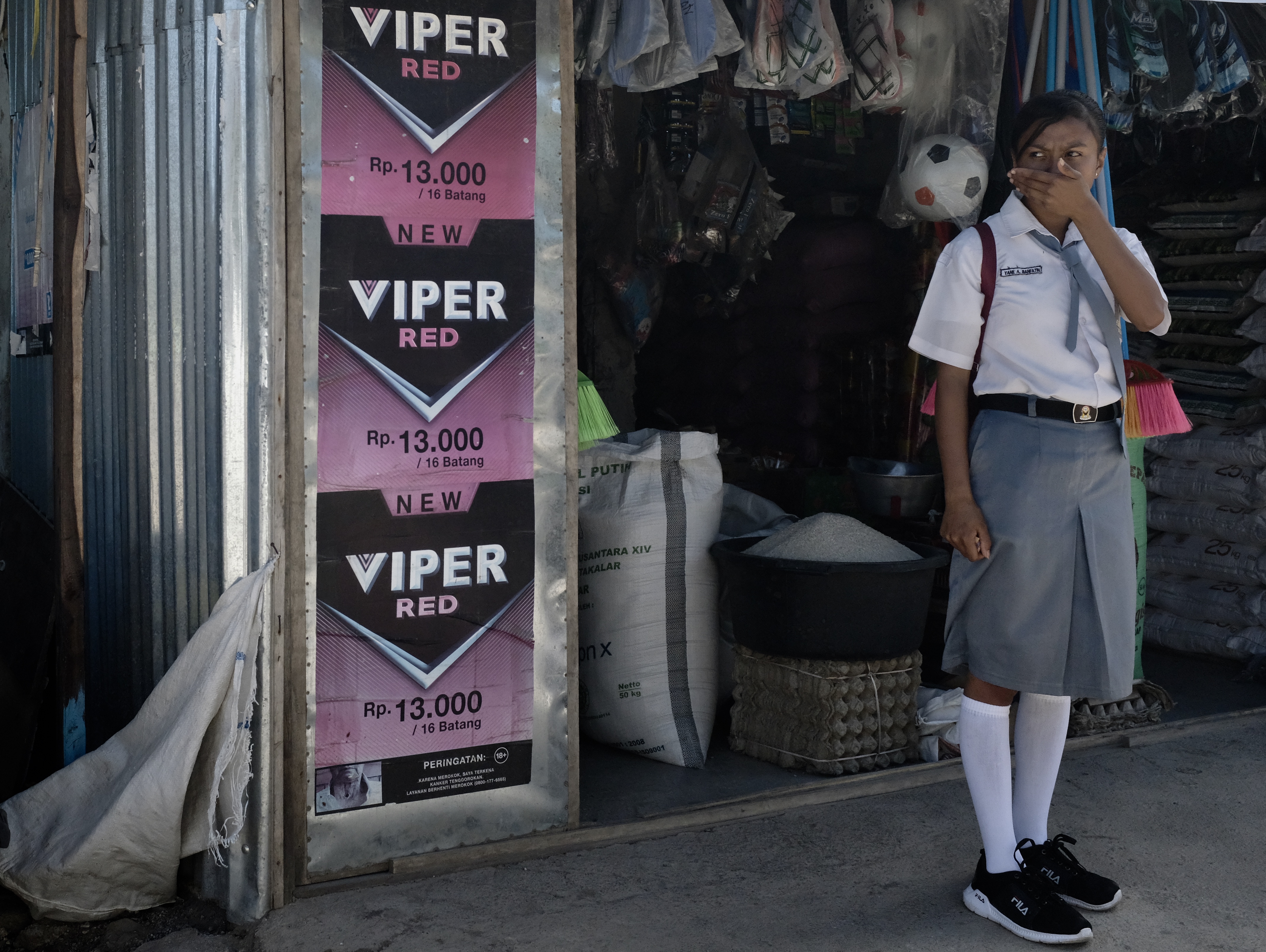
I had my reasons to be there. October is three-quarter period through the long dry season, a time of thirsty fields and half-empty stomachs in West Timor. Even so fuzzy-haired children in school uniforms and skinny villagers with Afro-Malay faces outside their thatched huts wave to our passing car with welcoming looks of cheerful stoicism in an immense landscape of bereft and desolate beauty.
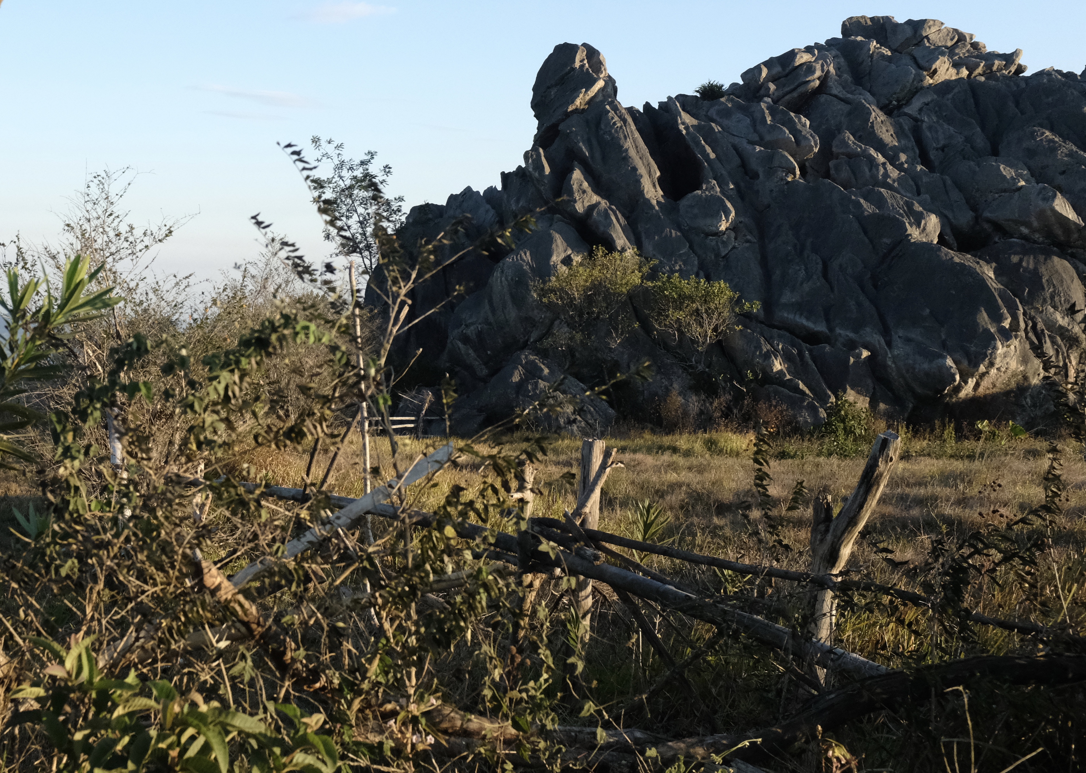
Fatumnasi
Timor is an island (almost equal to Taiwan in size) located at the far side of Indonesia, a mere 300-mile hop over a cerulean sea from Australia.
Geographically, it is the most easterly of the Lesser Sundas – a necklace of volcanic islands strung across the eight to nine degrees latitude south of the Equator which begins with Bali to the west. The Indonesians call these parts Nusa Tenggara. Of this group of isles, Timor’s history is the most interesting and complex.
Divided since the early age of the spice trade by vying European empires, the west of the island fell to the Dutch and the east to the Portuguese.
Today West Timor is a part of the Republic of Indonesia; and East Timor, after a torturous and bloody struggle, is now the independent nation of Timor Leste.
The fate and fortune of Timor has been inextricably linked to the aromatic sandalwood tree (Santalum album). In the 14th century Chinese merchants, followed by Arab traders, were lured to Timor by this fragrant and precious commodity.
Not long after Vasco da Gama discovered the sea passage to India by rounding the bottom of Africa, the Portuguese raced to conquer Malacca, expanded to the Moluccas and set up base on the coasts of the Oecusse-Ambeno Kingdom (now the autonomous Timor Leste enclave of Oecusse) making themselves the dominant player in the export of this rare wood, later to be supplanted by the Dutch.
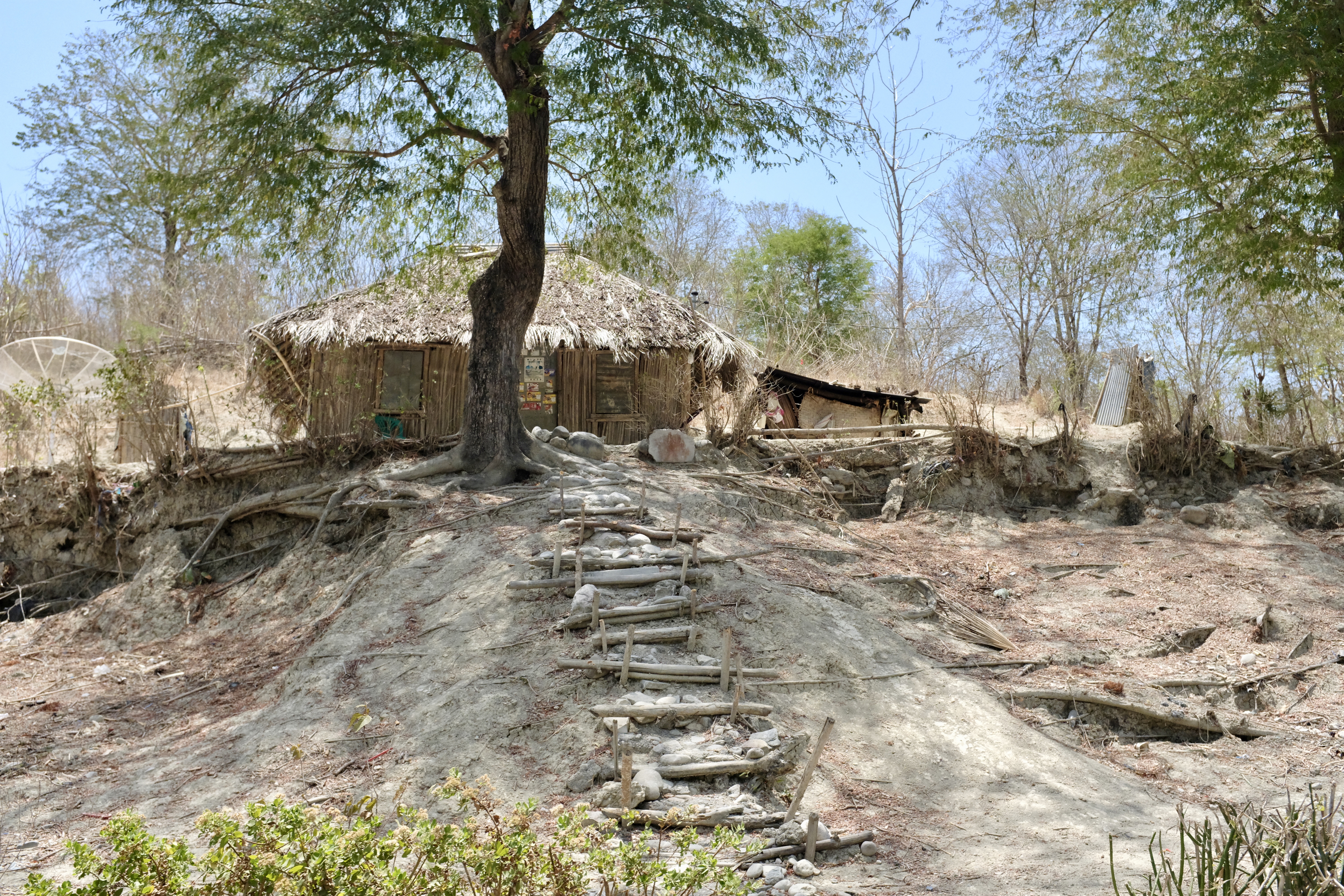
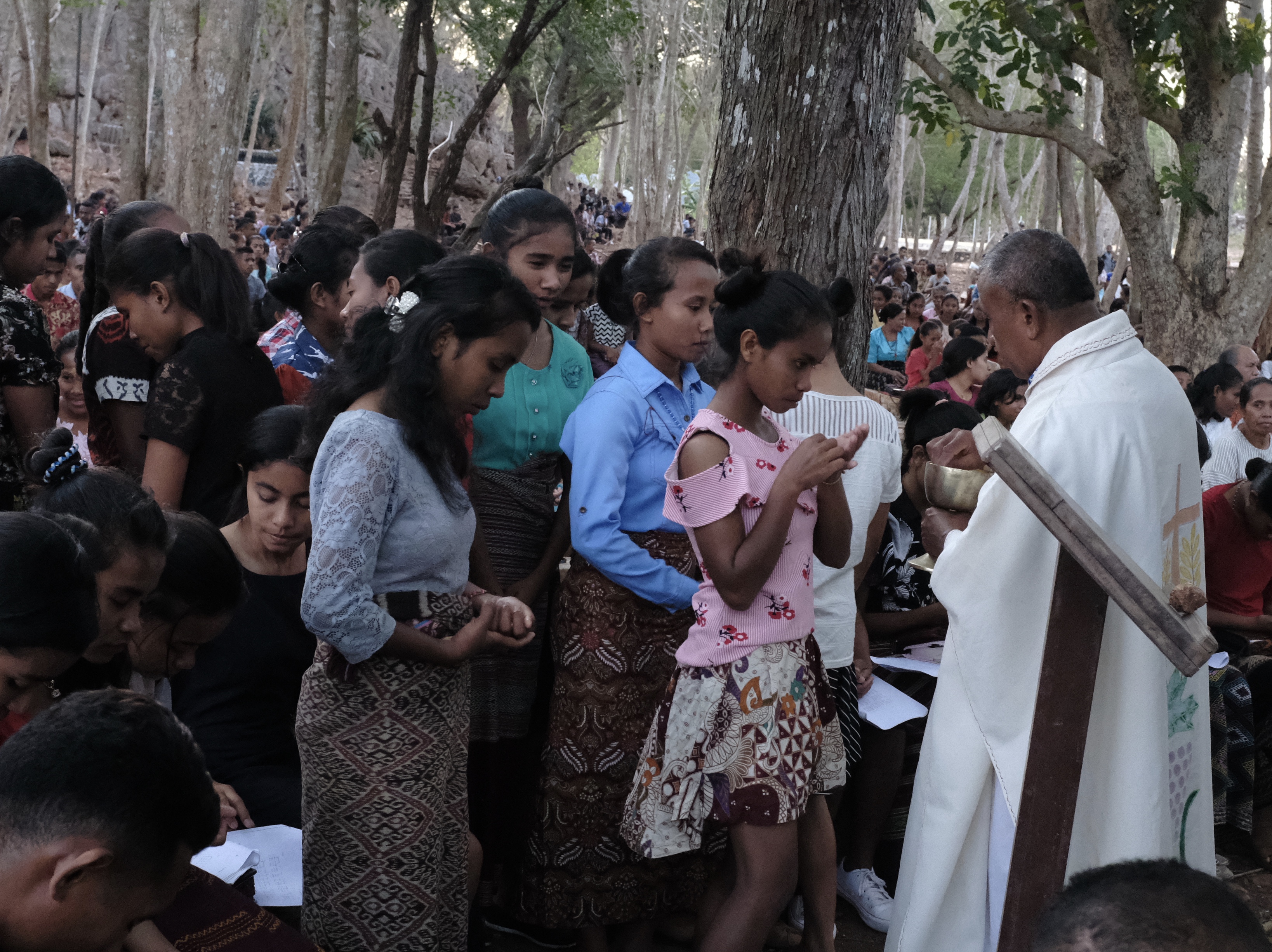
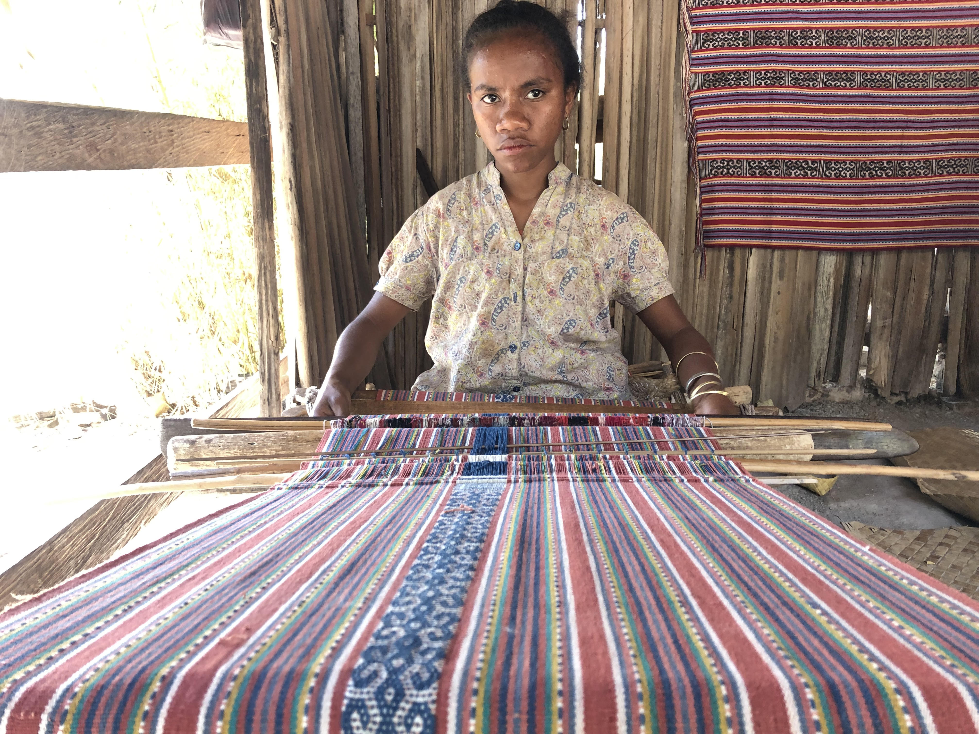
Despite the depletion of its forests by the heedless harvesting of sandalwood and territorial bisection of the island for commerce and Christian conversion, the interior of Timor was not so long ago still a place of petty kings, tribal warriors and betel nut chewing headhunters practising their traditional lifestyles and beliefs .
A British handbook prepared and printed in 1920 by His Majesty’s Foreign Office provided readers living in the early age of motorcars and cameras with a Marco Polo-like description of then Dutch (West) Timor:
“The future of the colony depends entirely upon the successful pacification of the native tribes or ‘kingdoms’. Of these there are about forty, usually in a state of enmity with each other. There are certain number of nominal Christians among the natives, but the bulk of both the Timorese, in the south-west of the island, and the Belonese, in the centre, are pagans, and most of them are dangerous and vindictive savages. The most troublesome people on the island are the black Christians, descendants of Portuguese half-breeds: they are proud, treacherous and cruel. The mountainous interior is not likely to be law-abiding for many years to come. The native hate strangers, and mostly live in small hill kampongs of a dozen huts.
The numerous Rajahs are constantly fighting amongst themselves, and, although most of them are pledged not to buy or sell slaves and to refrain from torturing and mutilating their subjects, such pledges are in most cases unfulfilled. These Rajahs are nearly all blood-thirsty tyrants. Even the tractable Rajah of Kupang claims to be closely related to the crocodiles in Kupang Bay, and till a few years ago virgins used to be flung to them, so that the family ties might be maintained”.
Soe
on the way to the foot of Gunung Mutis
Batu Putih
Azowaki
All Photographs and Text Copyright Kerk Boon Leng October 2019
On the bridge over the River Ouse in the historic city of York.
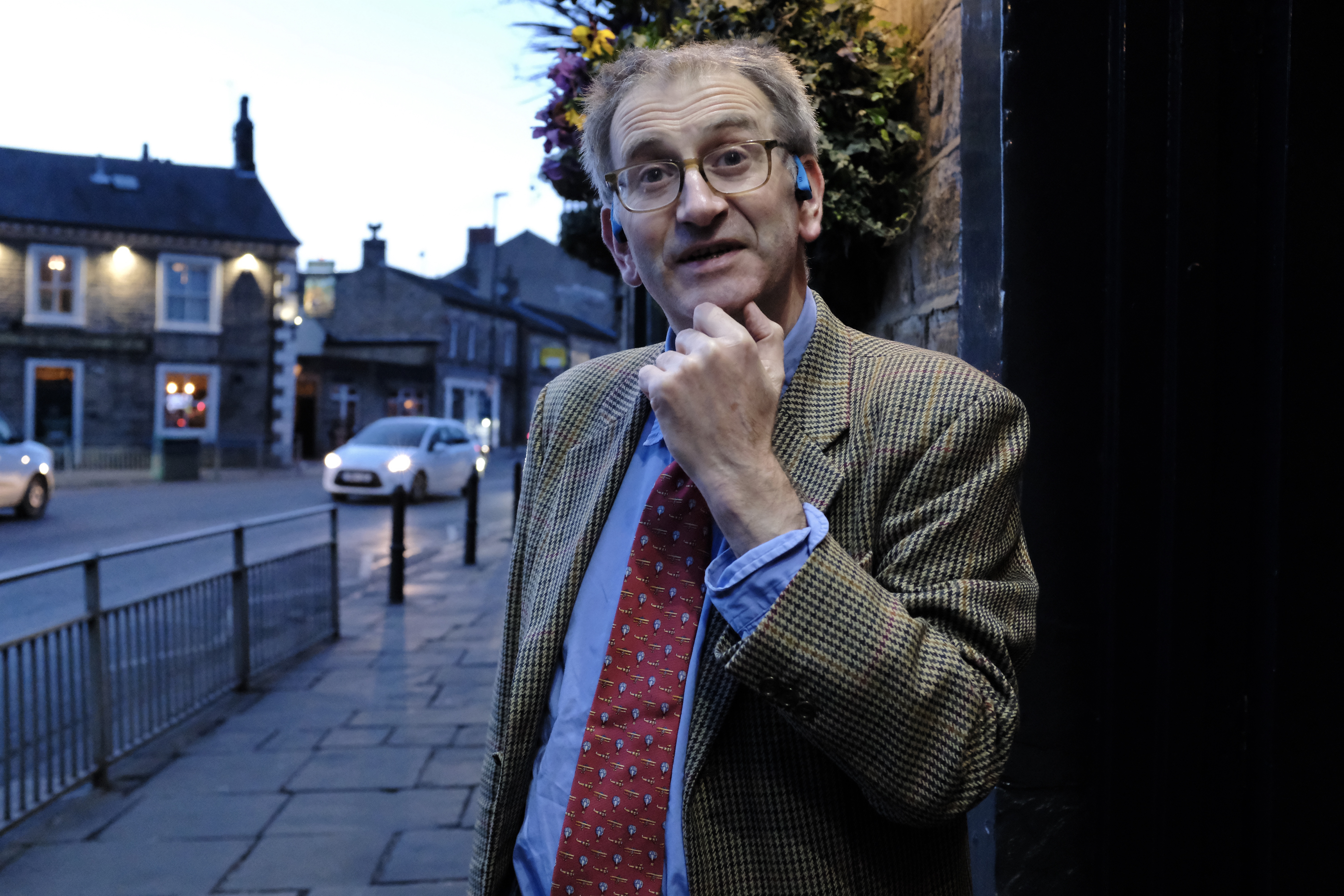
The English North is in many ways England at its truest. Here in a land of strong tea, strange-sounding dialects and scenic rain-soaked cities a foreign visitor will readily find most of the things that can turn many dye-in-the-wool followers and fans of Great Britain misty-eyed with nostalgia.
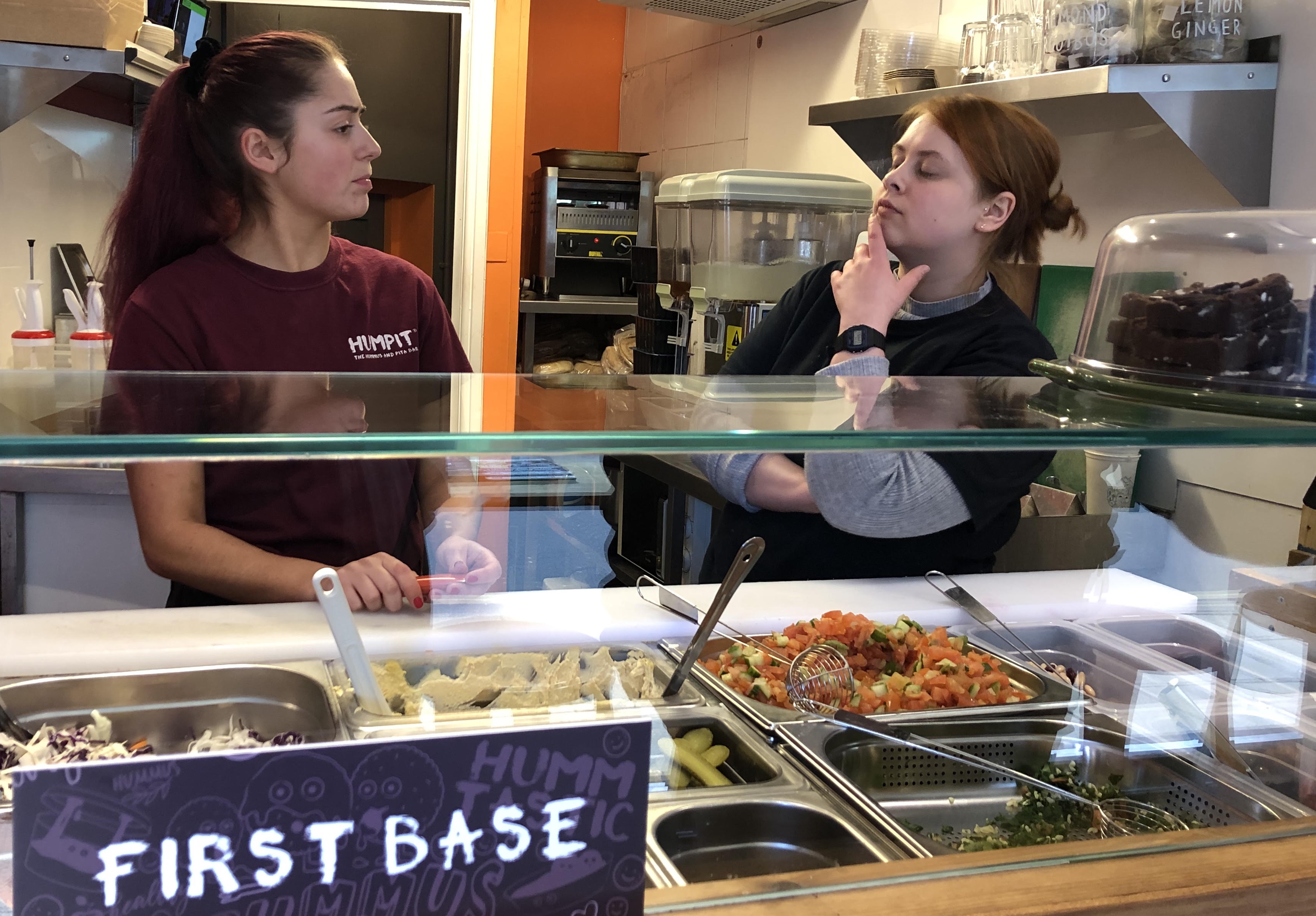
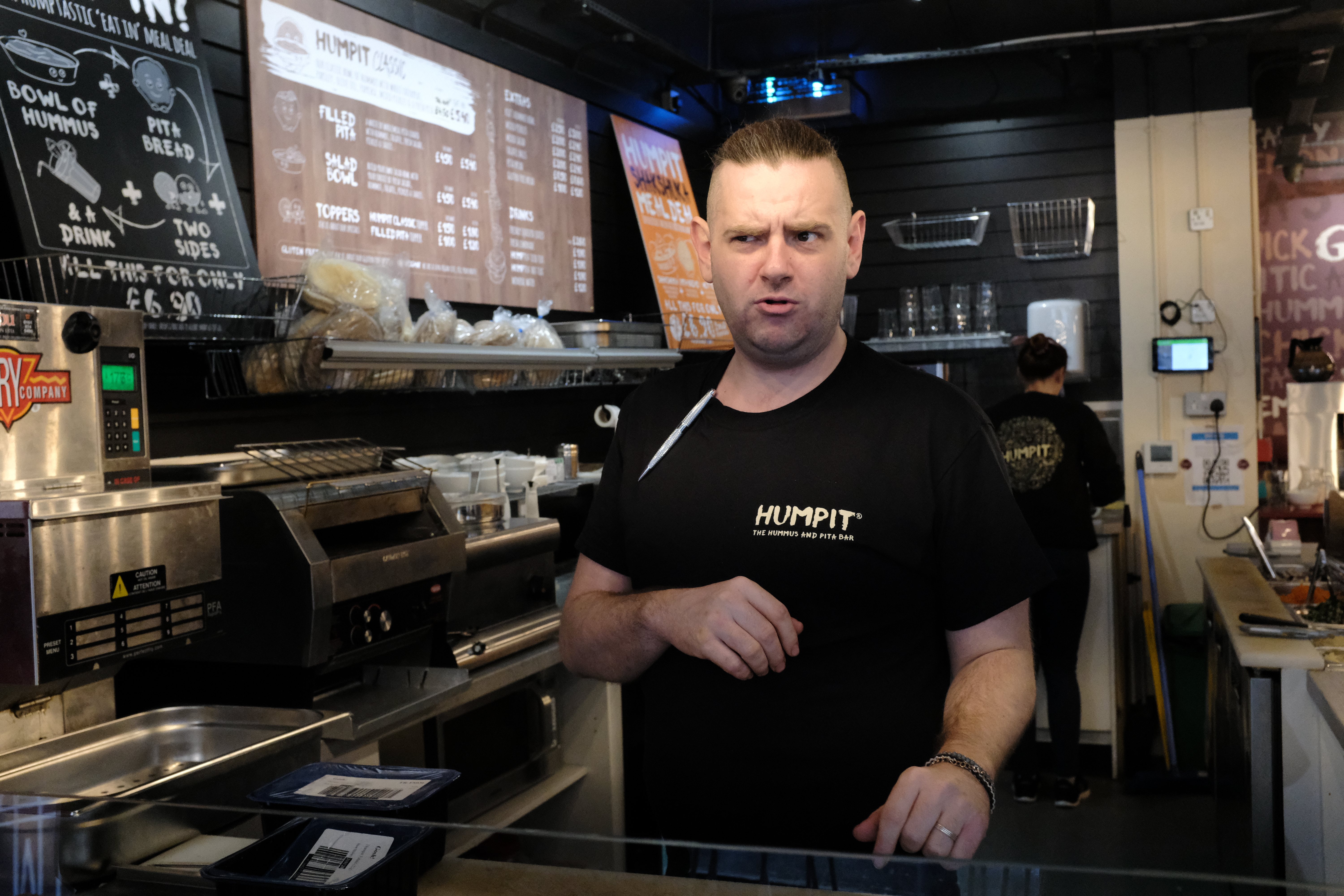
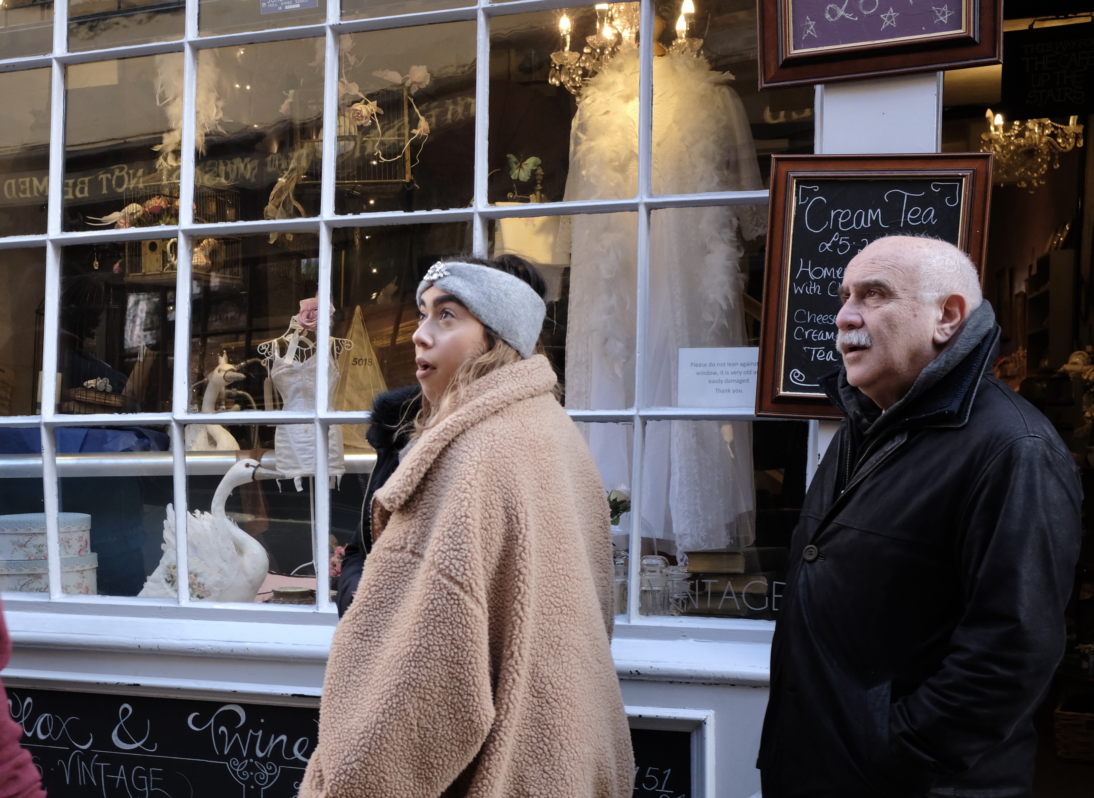
I went there for the first time this year, dispatched by a client to hunt for hummus – the humble chickpea spread created centuries ago by the Arabs that has now become, like croissant and curry, part of mainstream British cuisine.
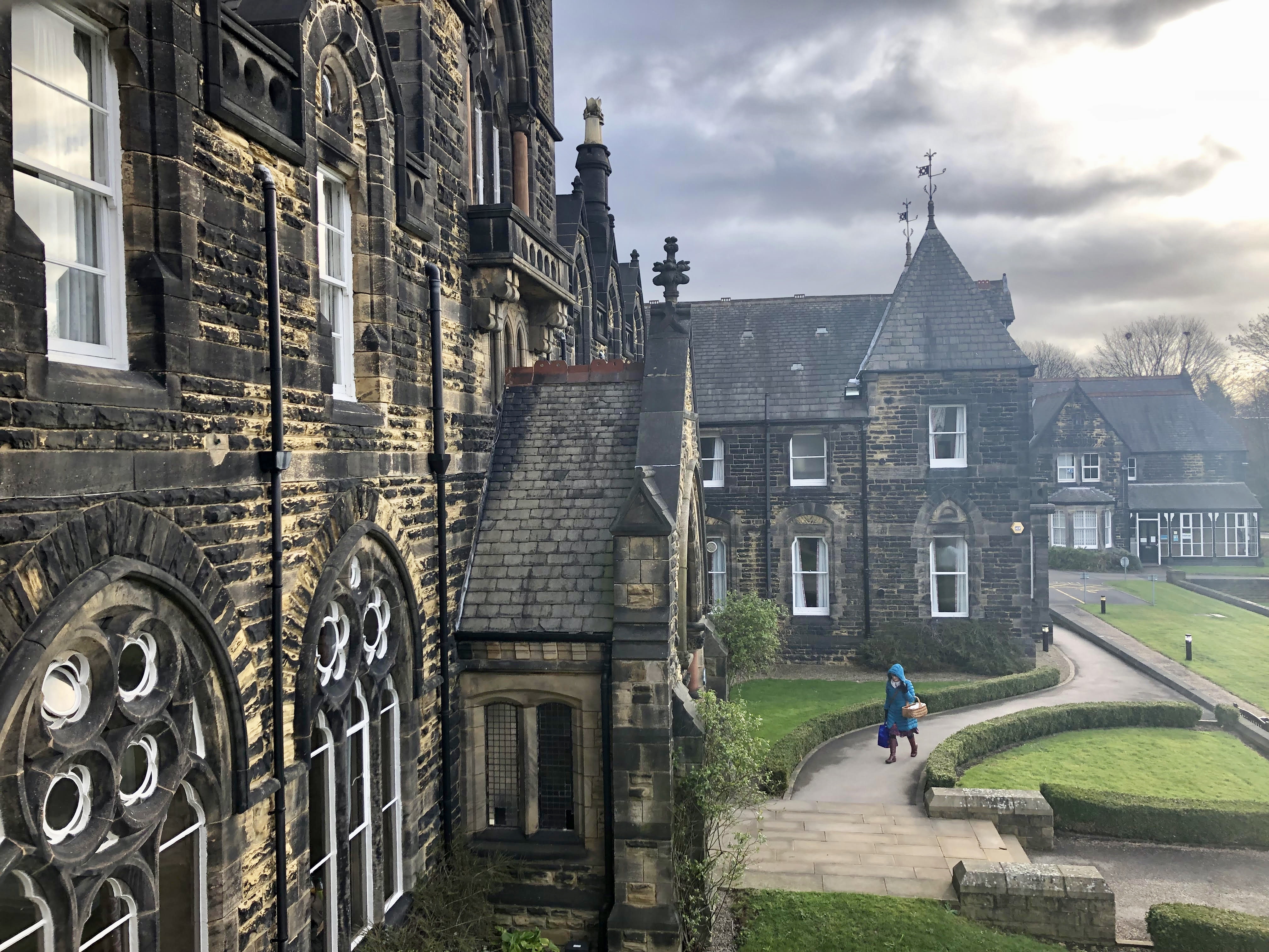
My Yorkshire Journey was made possible by the friendship, generosity and kindness of Simon Philips, an ex-Southerner originally from London. He rose very early in Leeds on a cold Saturday morning in March to pick me up from the airport in Manchester, the North’s leading city located an hour’s drive away on the other side of the Pennines.
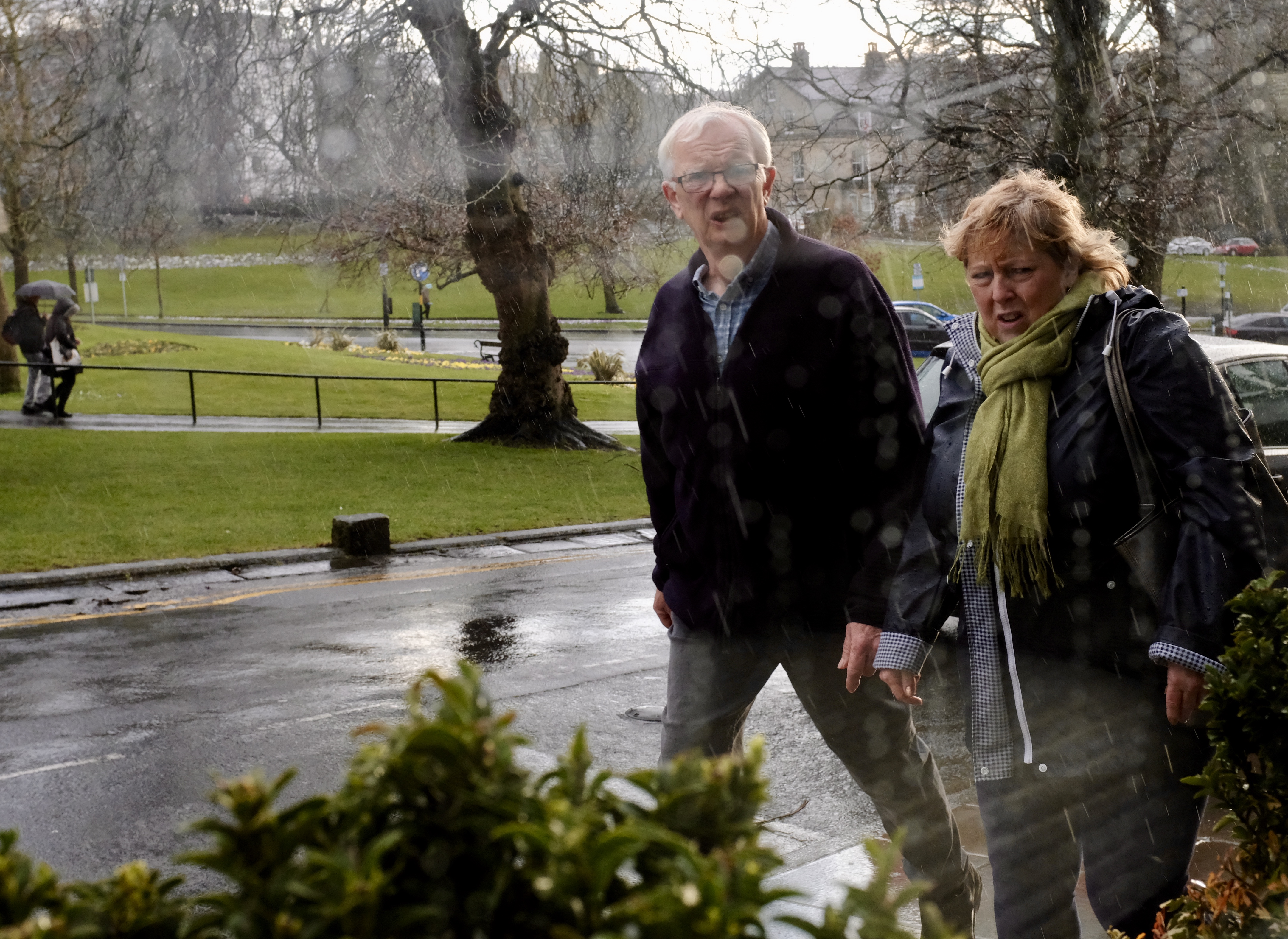
The Yorkshire countryside with brick houses like those found in children drawing books near the spa town of Harrogate.
Sheffield: a moment to pause and pose before the lunch queue
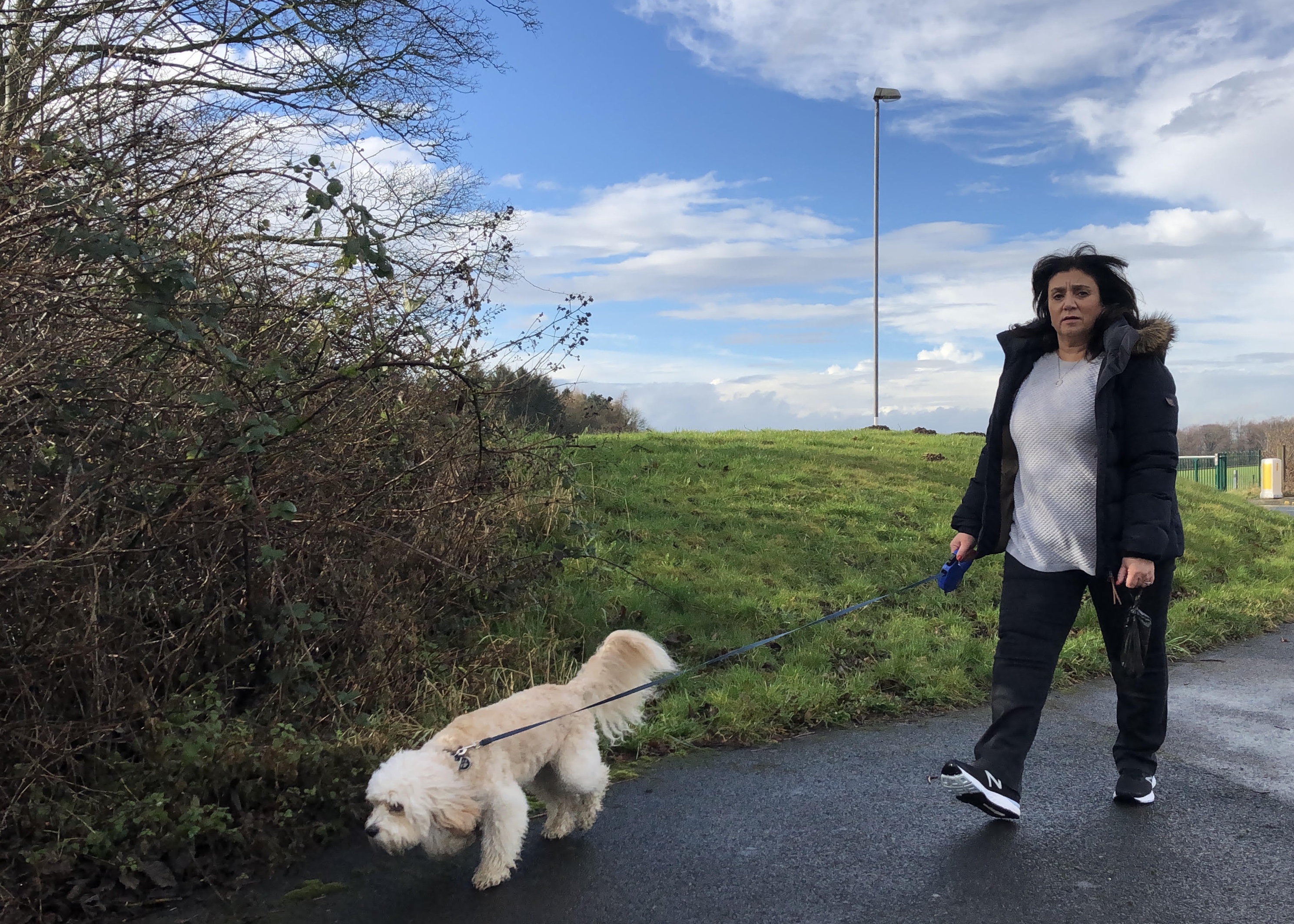
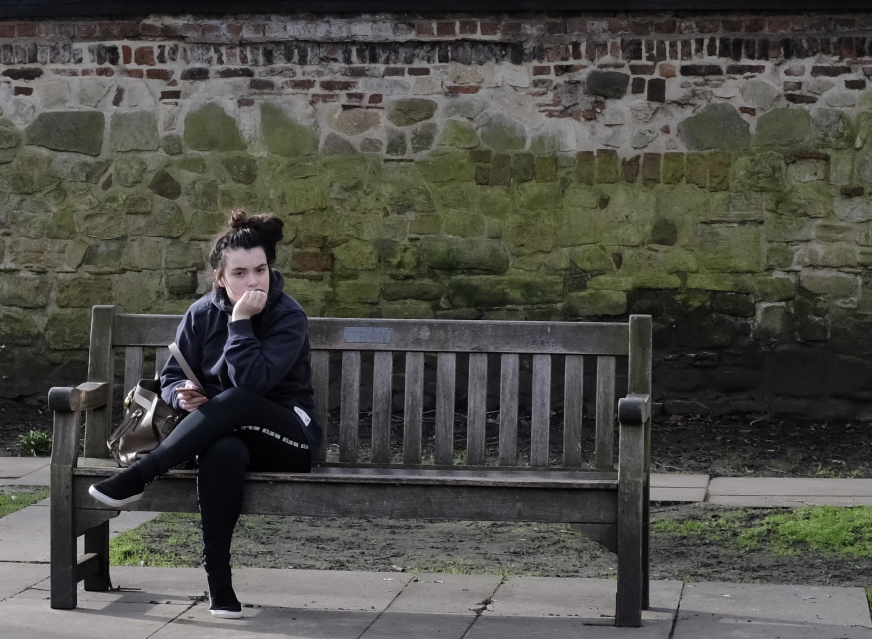
Leeds: a bracing walk with a best friend
York: More than a thousand years ago before Cantonese became Chinese this area was a part of Britain that was ruled by Scandinavia. The ancestors of the Norwegians and Danes in the year 865 conquered Eoforwic from the Anglo-Saxons and renamed it Jorvík.
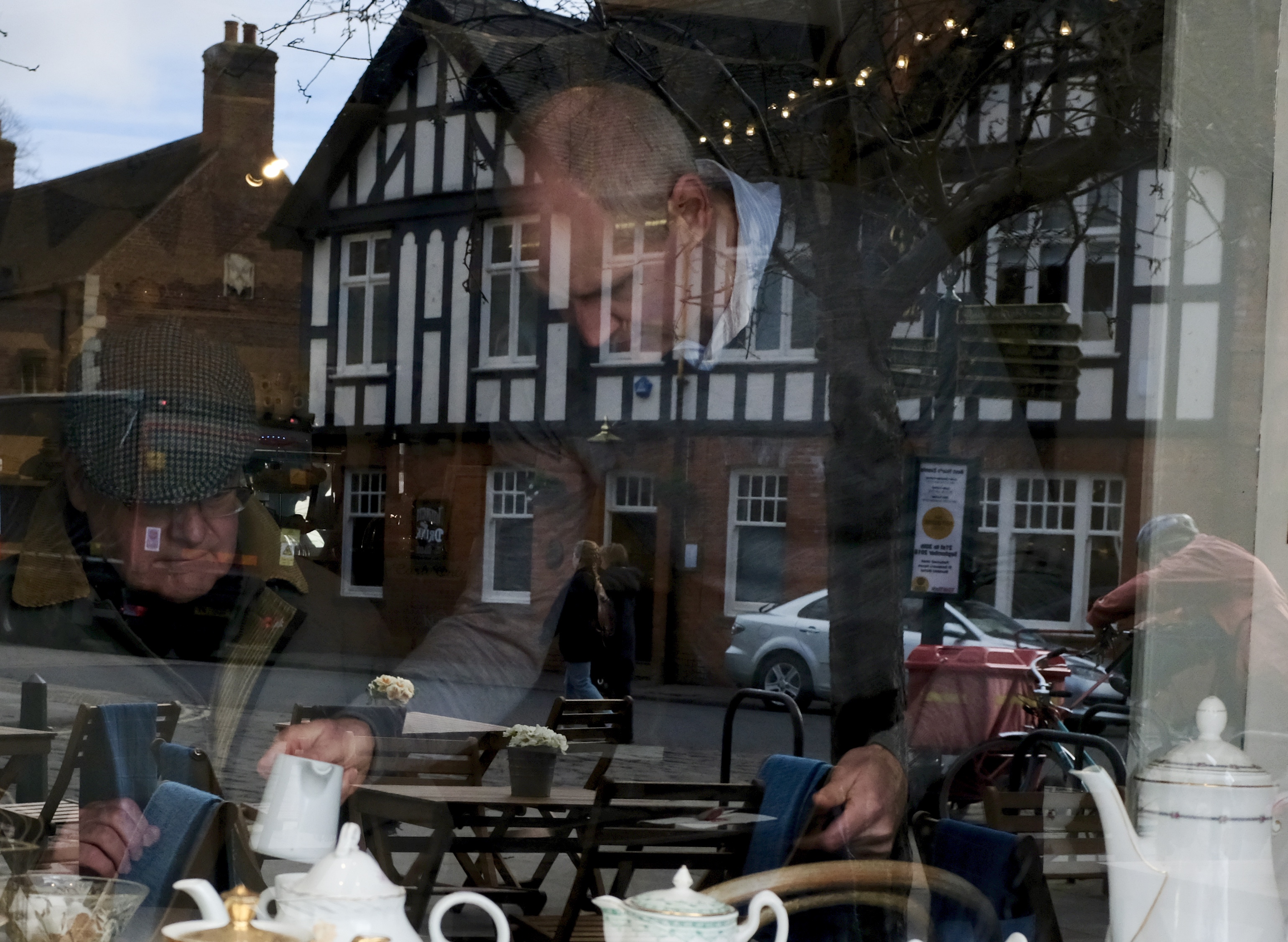
York: Reflection from an English Tea Room
York: According to the Economist the proportion of population living in England’s three northern regions (the North East, the North West and Yorkshire and the Humber) declined from 35% to 30% between 1918 and 1962. In the 50 years since it has fallen further to 25%.
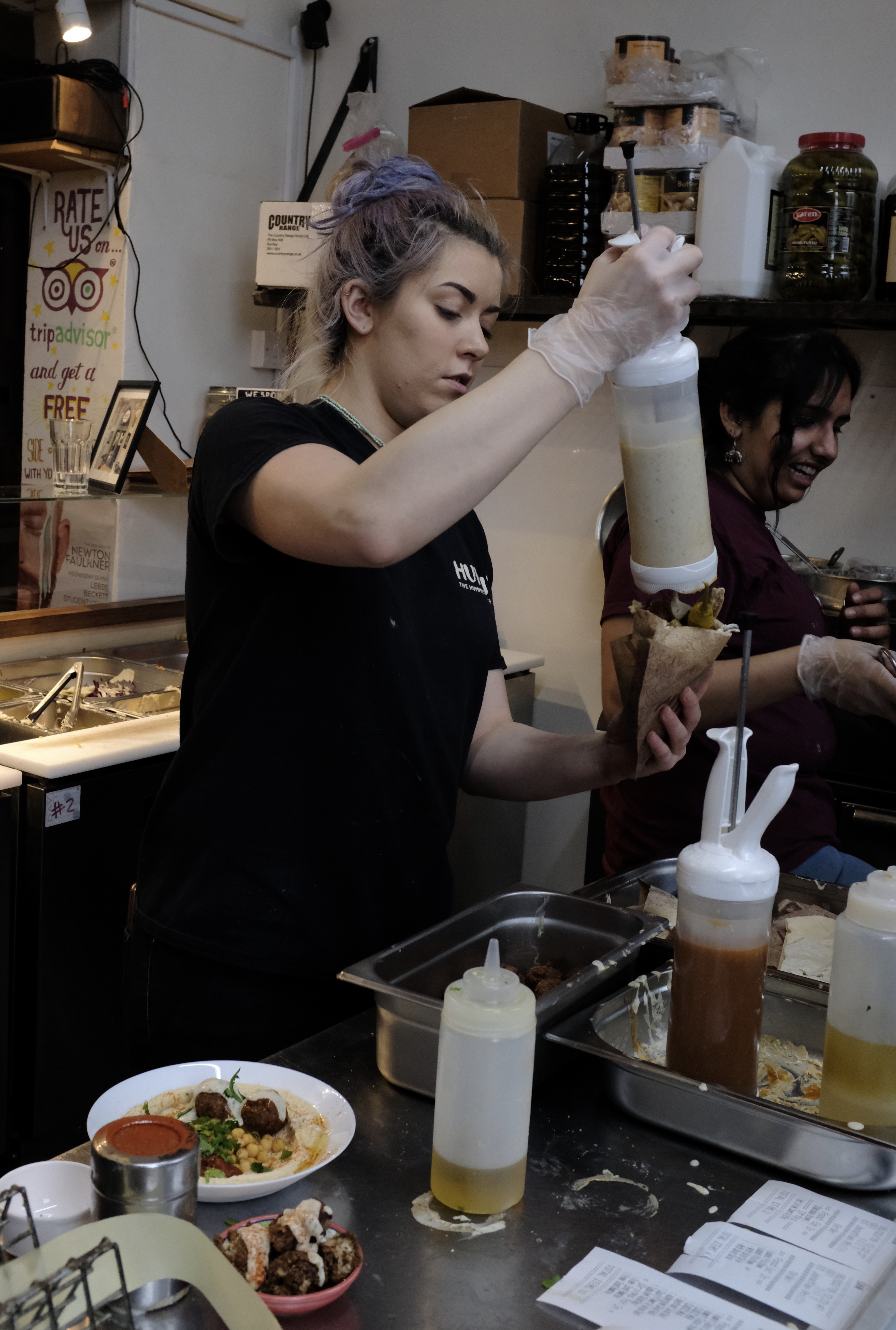
Leeds: richer, tastier and less oily than the Middle Eastern original IMHO
York: Morning’s briefing by the manager.
Sheffield: Not Silicon Valley or Shenzhen but here in the cities of Northern England was where it all started – the First Industrial Revolution that made the world we know today.
The scenic route to Leeds-Bradford airport
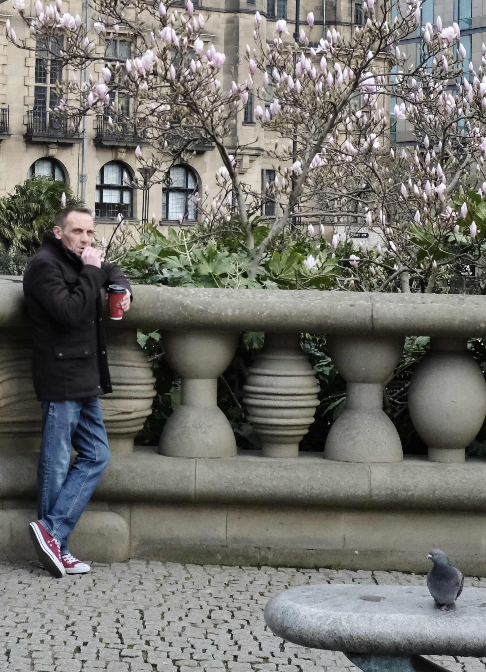
Headingley: “I suspect this is the best place in Yorkshire”
York: Sales figures have shown that the British are drinking less traditional tea and coffee as more consumers are switching to “healthier” options such as fruit and herbal varieties.
“The Northerner has ‘grit’, he is grim, ‘dour’, plucky, warm-hearted, and democratic; the Southerner is snobbish, effeminate and lazy” – George Orwell, in ‘The Road to Wigan Pier’
Sheffield: Lunch take-out crowd forming at Simon’s hummus and pita bar.
Leeds: the lady with the Tahini
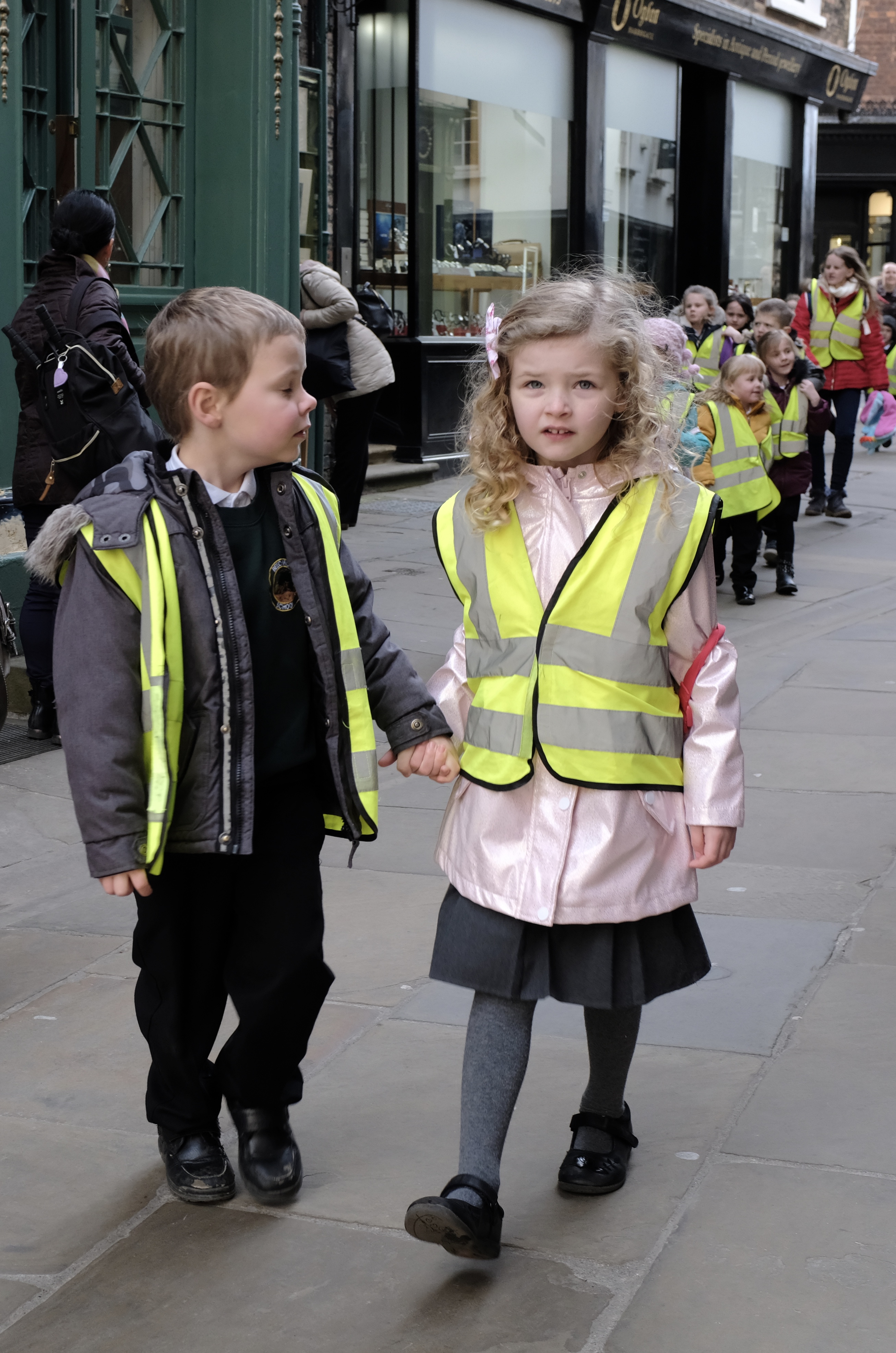
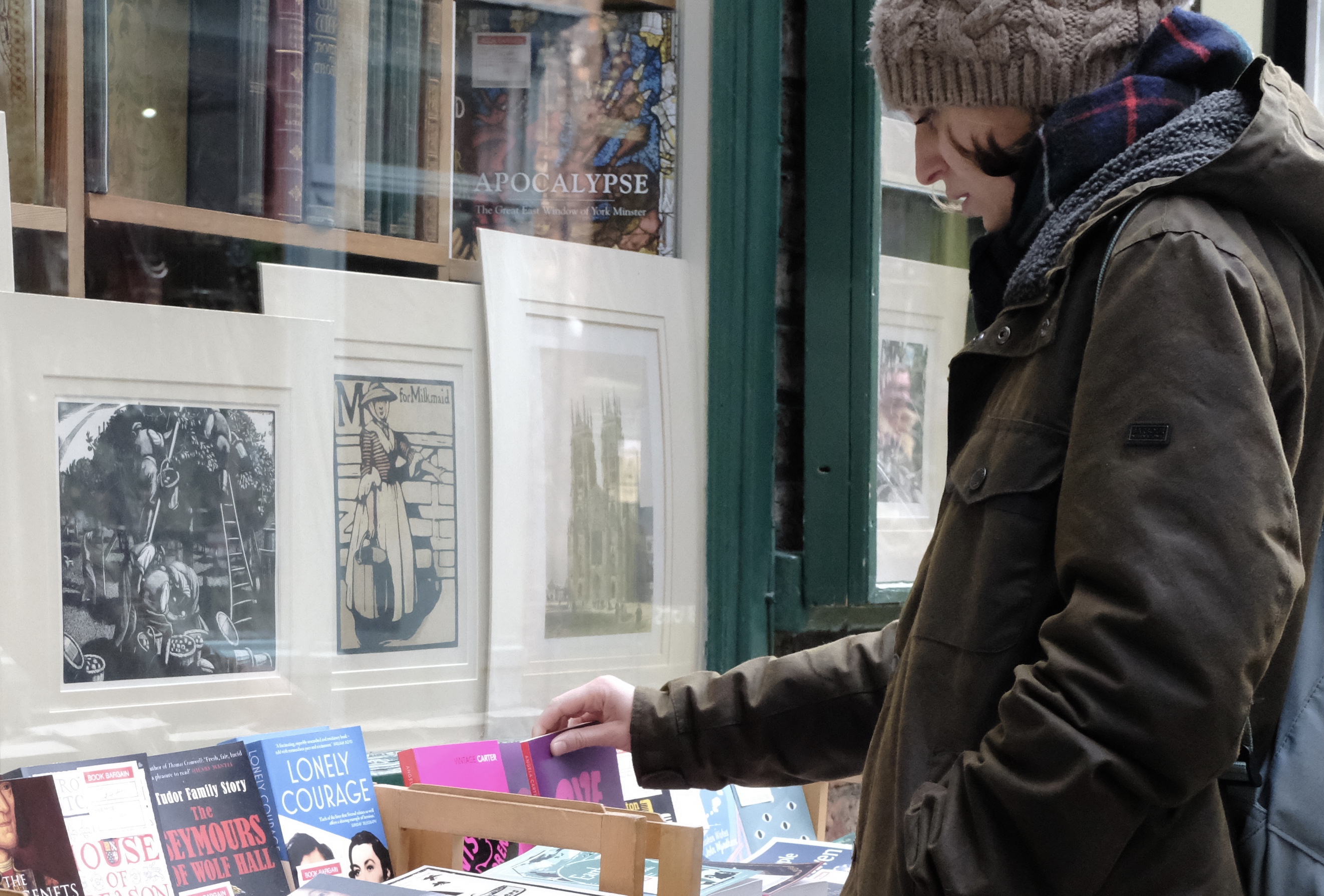
York: University students make up almost 10% of the city’s population of over 200,000 people.
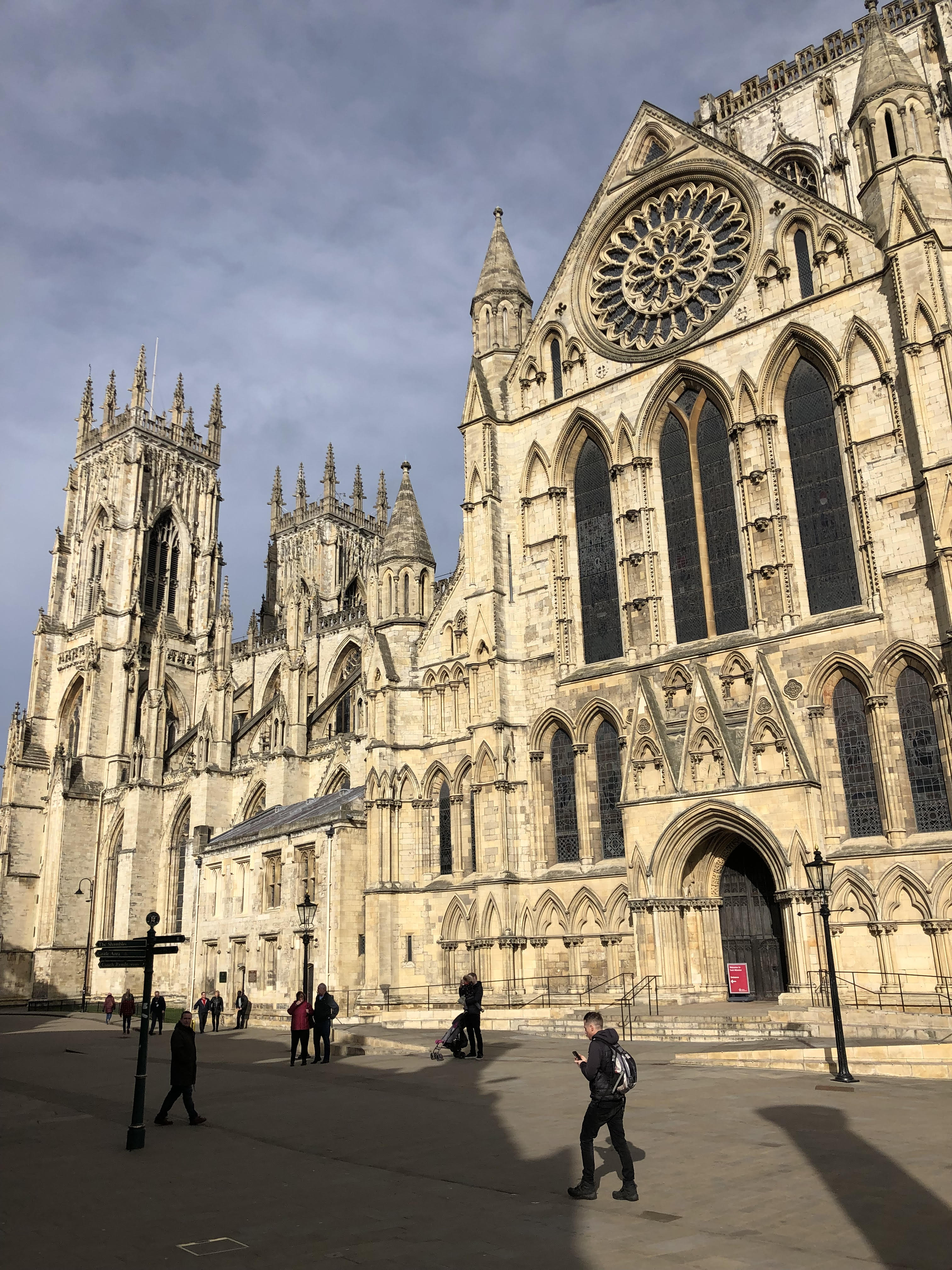
York: Built 800 years ago on an early Christian site, the magnificent Minster which is as tall as a 21-floor building has been for centuries the greatest gothic church in Northern Europe.
Sheffield: Recent DNA studies have shown Yorkshire to be a race apart with more blue eyes and blondes here than in the rest of Britain.
Sheffield: A smorgasbord of juicy greens and other delectables are picked by thongs and lovingly tucked into a warm hand-held pita.
Leeds
York
Leeds
Sheffield
Sheffield
Leeds
Leeds
Harrogate
The brooding literature-inspiring landscape of Yorkshire
Harrogate
York
York
York
Leeds
Sheffield
Leeds
Headingley
Leeds
York
York
Leeds
Headingley
Sheffield
Leeds
Hinsley Hall
All Texts and Photographs Copyright Kerk Boon Leng March 2019
I am reluctantly checking out of your apartment this morning to catch the 10 o’clock bus to Ljubljana. I have enjoyed my three nights stay very much.
Your place is truly an astonishing airbnb property. Everything about it from the white and baby blue furnishings to the soft scent of the face flannels and towels exudes a rare sense of class, passion and thoughtfulness.
The house is nicely located above Hocus Pocus cafe – a local rendezvous where quiet streets intersect next to a small park lined with beautiful bald trees. In the evenings the deflected glow from the cafe downstairs afford the bedroom a feeling of snuggly solitude tempered with a safe dose of drowsy distractions.
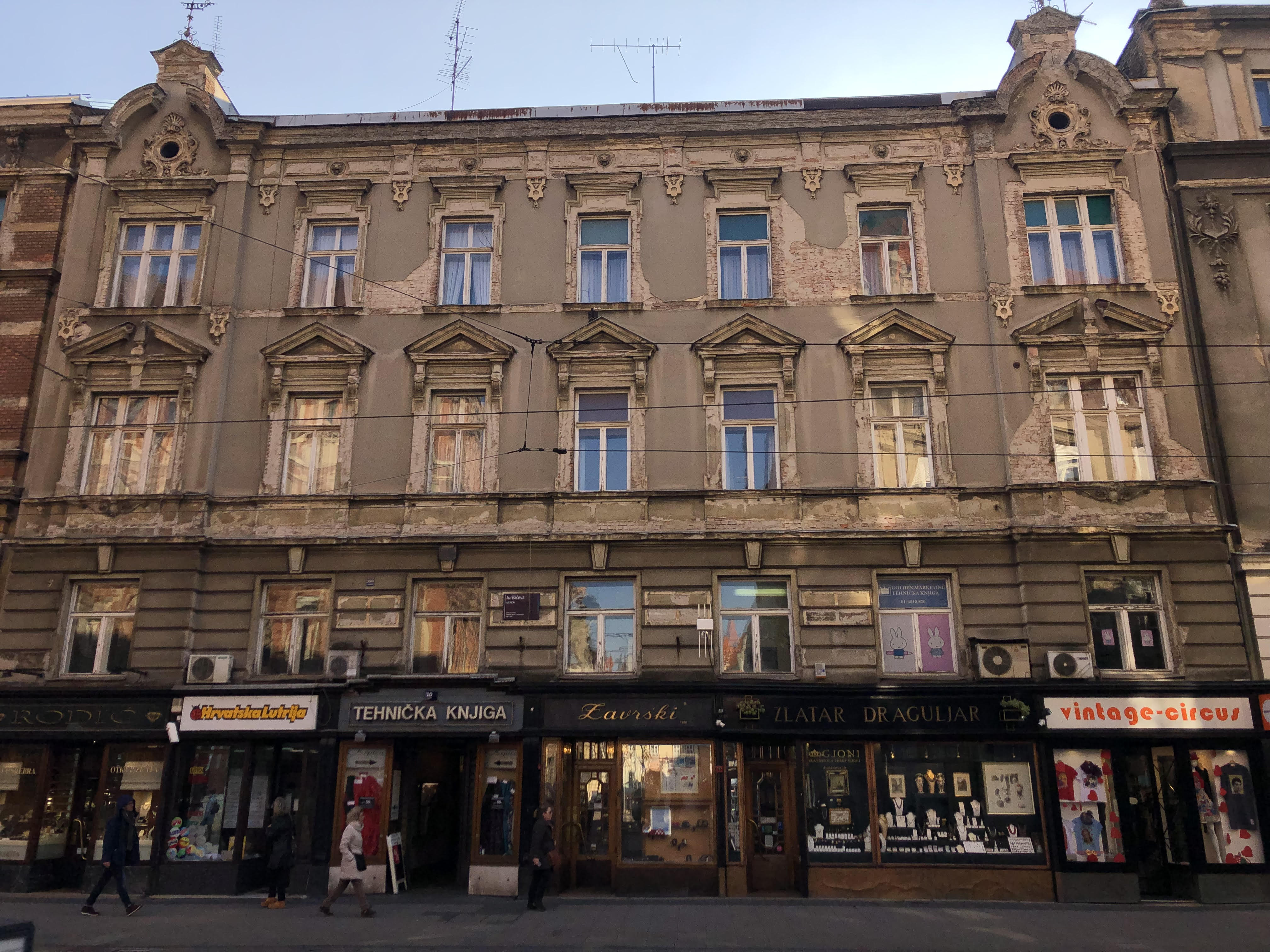
Reading your whatsapp text now I realised that there is so much of Zagreb that I missed, for there is far more to Zagreb than I imagined.
Travel Guides unwittingly paint a wrong picture of Zagreb as just another mid-level Mitteleuropa metropolis munificently bequeathed with Austro-Hungarian architecture – a smaller, poorer and duller copy of Vienna that thanks to history is fortuitously situated within the southeastern limits of western Christendom !
Truth is Zagreb as the capital of the recently famous country of Croatia is a well-deserved destination in its own right. Maybe not in the same global league as London, Rome or Paris but definitely worth a 12-hour flight to get there and a stay of four or five nights to soak in the sights and sounds.
Admittedly, I was rather taken with Zagreb. I found the local food agreeable to my Southeast Asian palate, the buildings attractive with more authentic atmosphere compared to Vienna or Prague and the people especially those in the tourist trade kinder and more honest than Budapest.
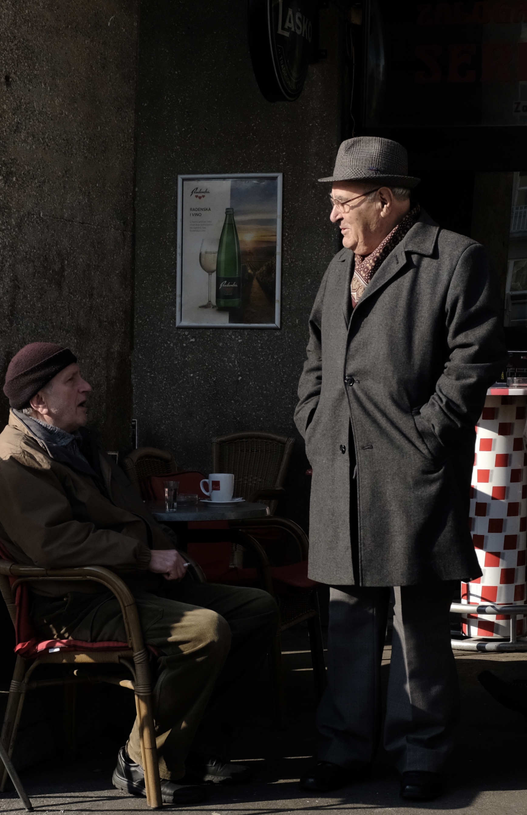
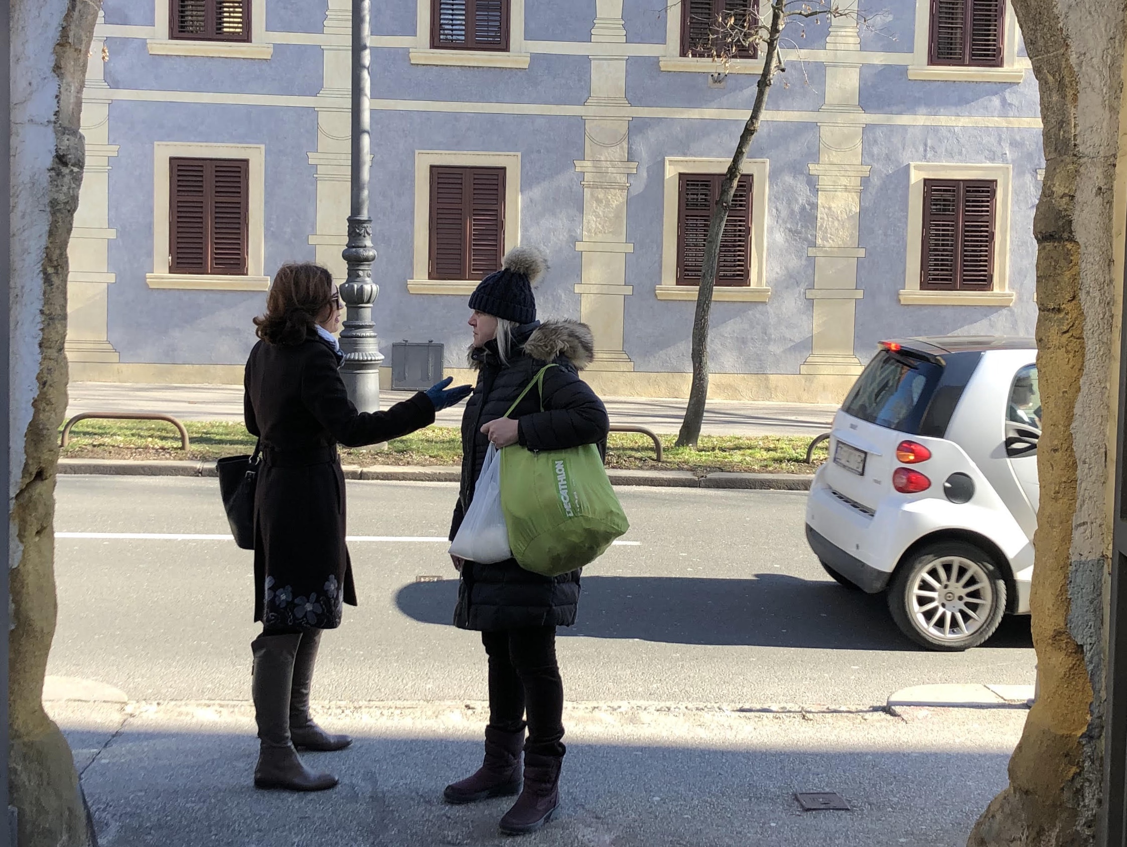
And Zagreb has the best cafès in Europe in my opinion. They are also the most ideal places to retreat to on a cold February morning. The coffee is always strong, cheap and good. It is served to you while you are comfortably seated, a dark solid wooden table away from a regular patron contemplating on her steaming cup and lighted cigarette to a background of smooth jazz.
Thank you once again for being such a kind host to me.
One day I will return to see the rest of Zagreb and Croatia and if I am lucky to find your apartment available I hope I can stay there again.
Boon Leng
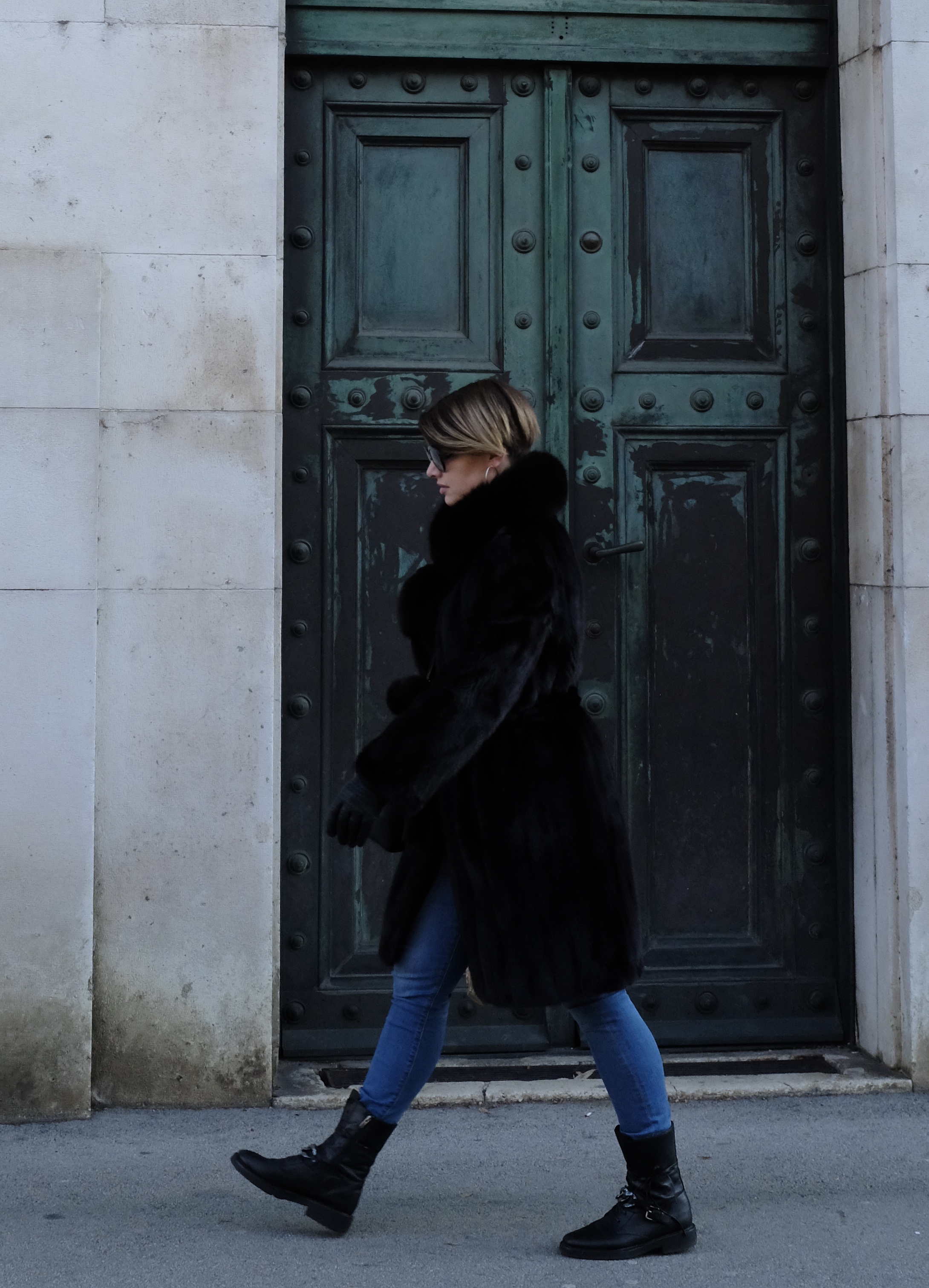
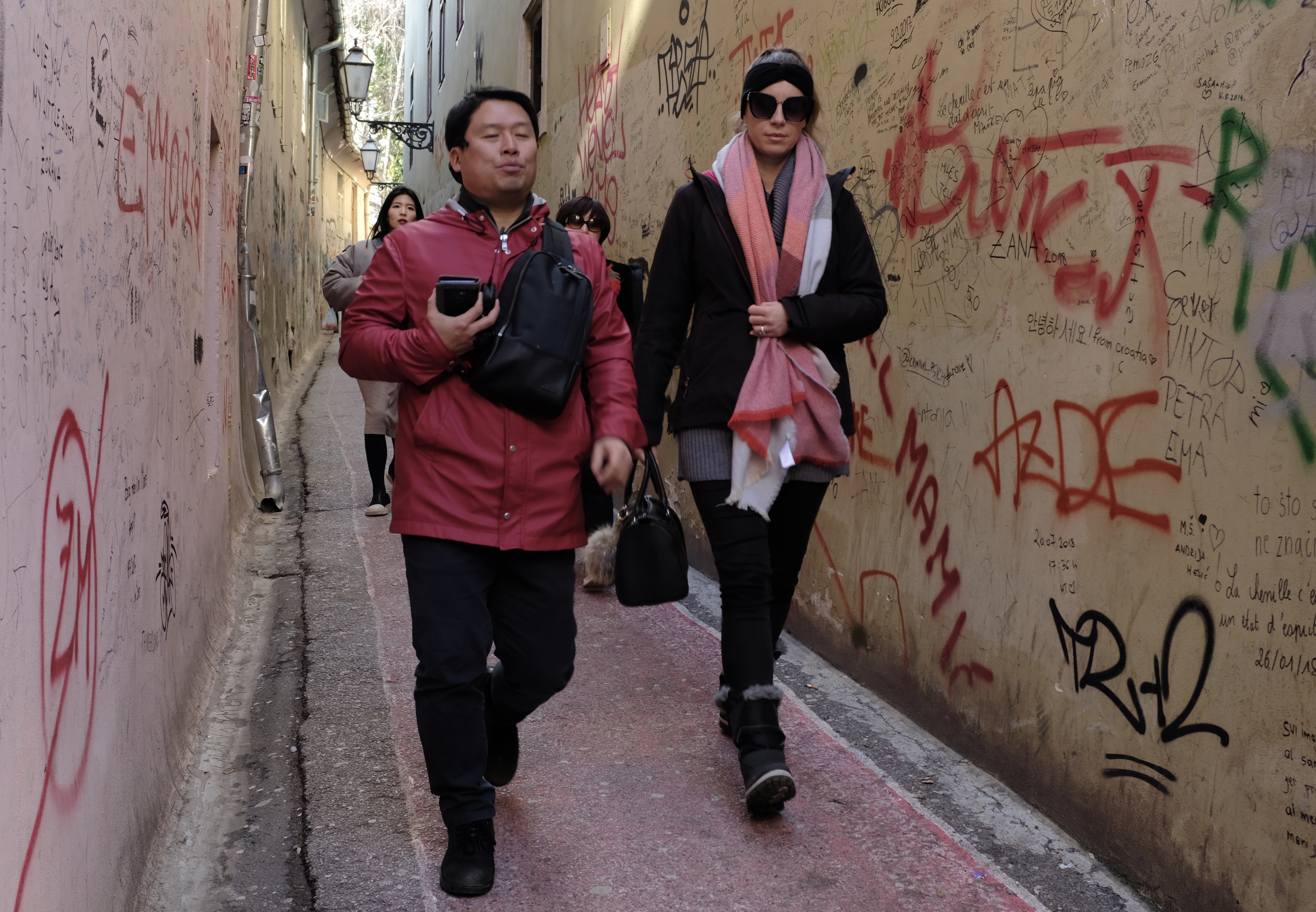
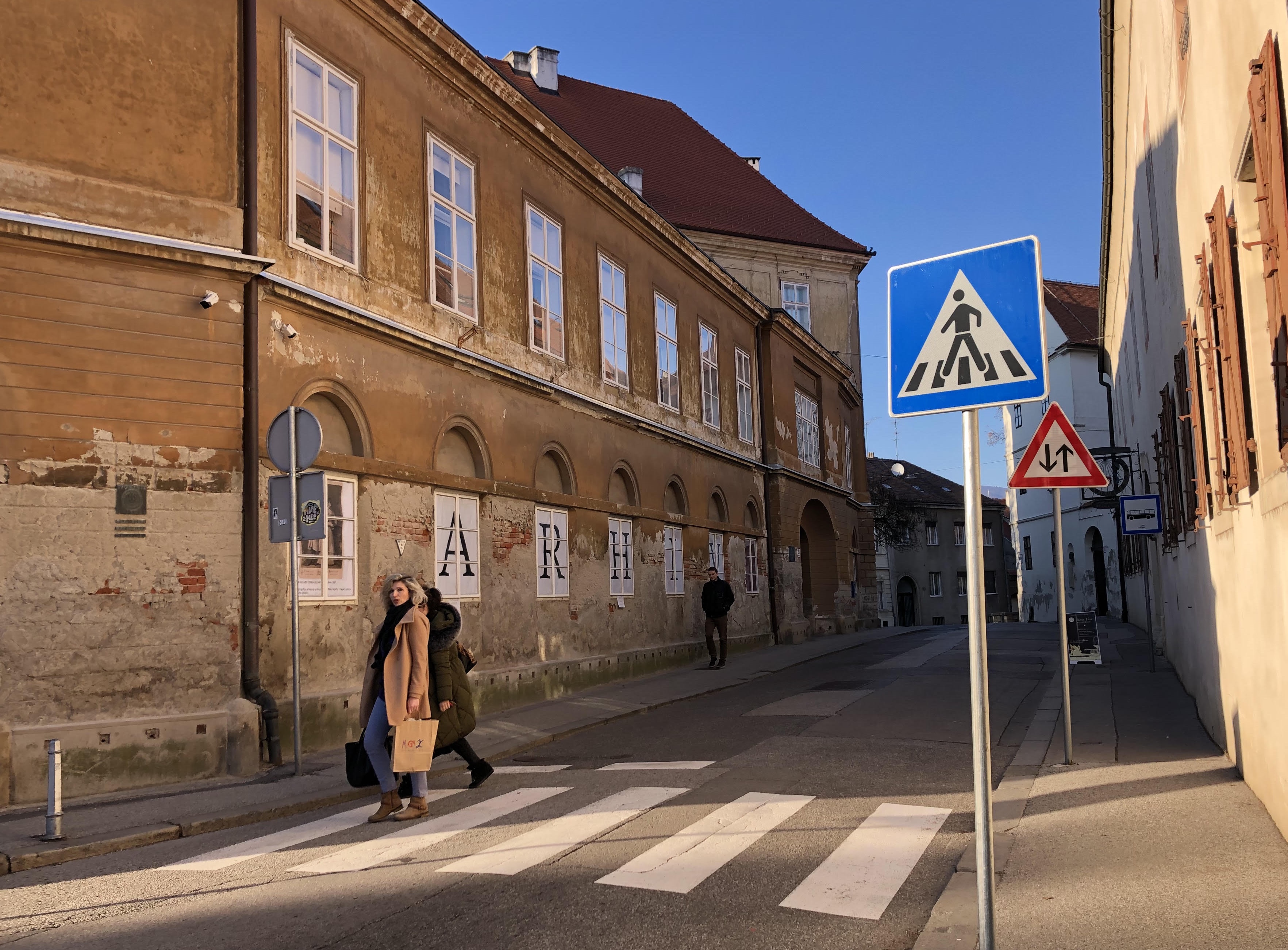
Street vistas converge on the Neo-Gothic twin spires of the Zagreb Cathedral. A church on the site was first built in 1217. After destruction by wars, a Mongol invasion and in 1880 by an earthquake the building was redesigned and restored to its present form.
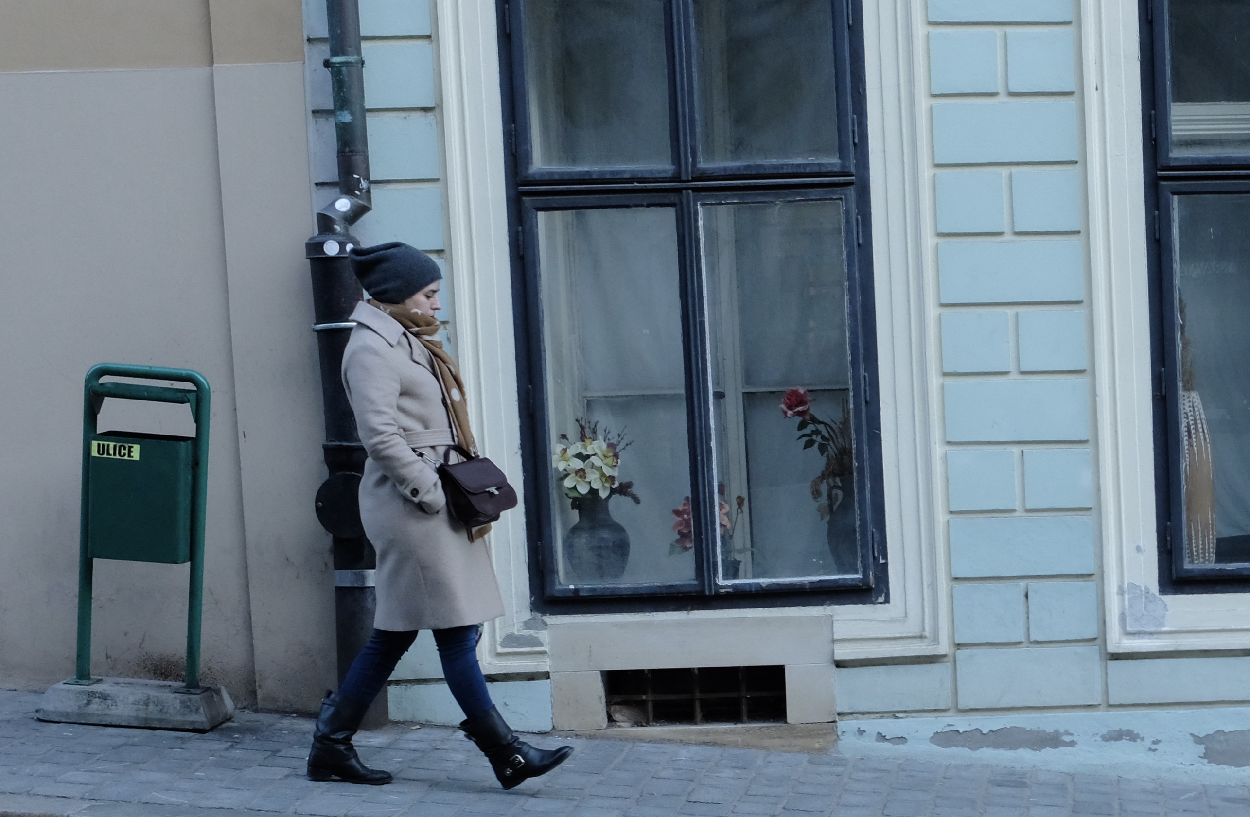
A dignified and attractive roadside florist in army fatigue and furs. Zagreb is located in the belly of Europe and has a keen continental climate. Winters are cold averaging around zero degree celsius in January and early February.
‘‘It is full of those vast toast-coloured buildings, barracks and law courts and municipal offices, which are an invariable sign of past occupancy by the Austro-Hungarian empire: and that always means enthusiastic ingestion combined with lack of exercise in pleasant surroundings’’ -Rebecca West in ‘Black Lamb and Grey Falcon’ on her visit to Zagreb in 1937.
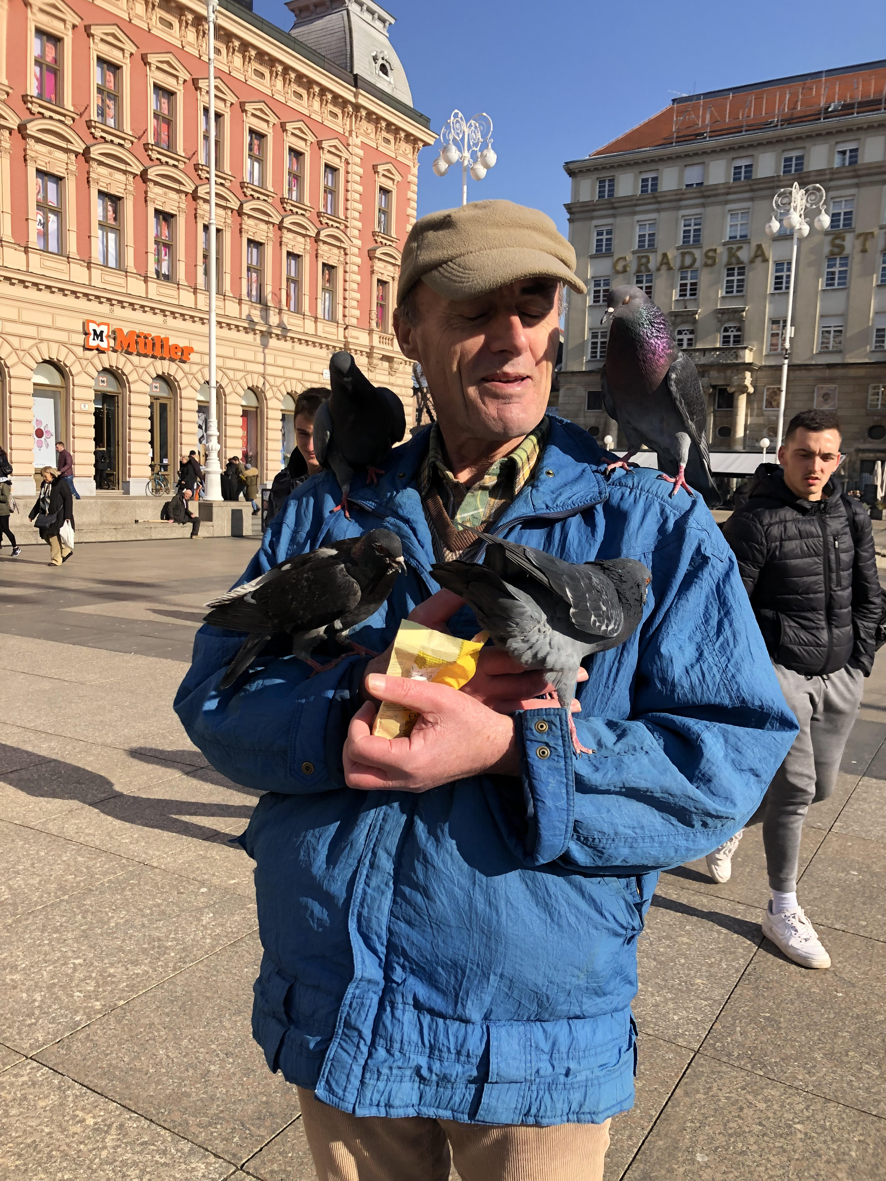
Birdman of Ban Jelačić Square. Trg bana Josipa Jelačića (or colloquially Jelačić plac) is named after Croatia’s national hero, Count Josip Jelačić who tried to win independence for Croatia from Austrian rule by supporting the Austrian Empire against Hungary during the Revolution of 1848.
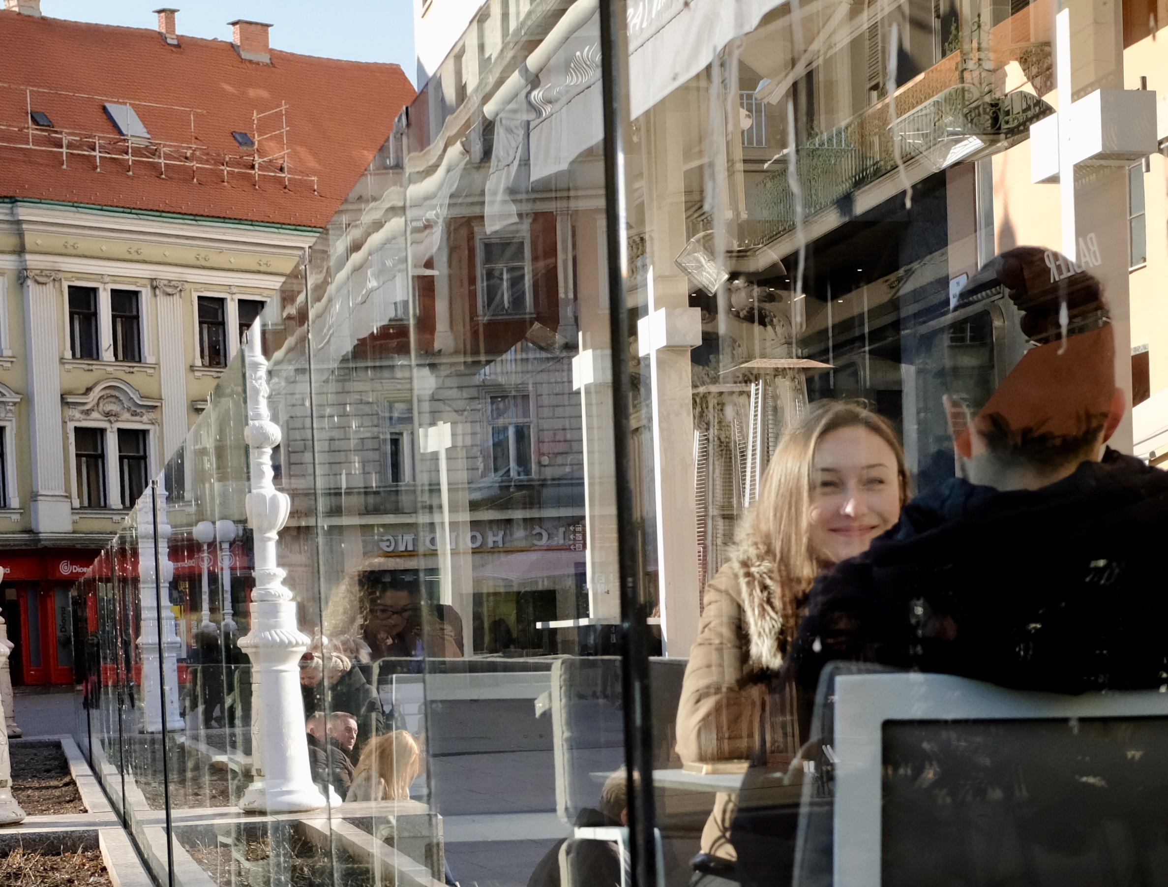
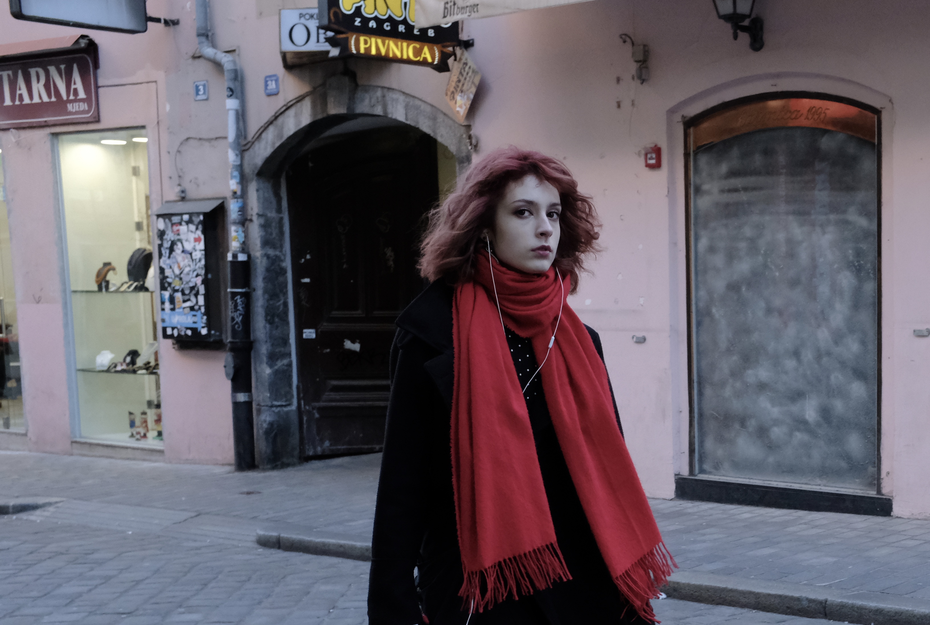
Red hair and scarf on Radićeva Street
Woman walking past a side entrance of the Croatian National Bank (Hrvatska Narodna Banka), the central bank of the Republic of Croatia. The palace-like building, designed by Victor Kovačić, once housed the Zagreb Stock Exchange. To this day many still refer to it as ‘Burza’.
A bride-to-be walking down from St Mark’s Church in Gornji Grad or Upper Town, the city’s medieval core
Late evening view of the statue of St George and the Dragon he slew near the Old Town Gate
Croatia, popular with European vacationers for the last 100 years, has of late been discovered by Asian tourists. For reasons that I am yet to find out Koreans seem to have a thing for Croatia because in 2017 nearly half of million of them made a trip there, more than citizens of any other non-Western country.
Although Croatia is a EU country it is not part of the Schengen zone and has not adopted the Euro. The country still uses its own currency the Kuna which means “marten” – a furry animal related to the weasel a reference to the use of its pelt as a mean of exchange during medieval times.
Despite being classified as a medium income country with a per capita income below that of Malaysia, Croatia is by any meaningful yardstick an advanced country with high levels of literacy, human development and civic mindedness.
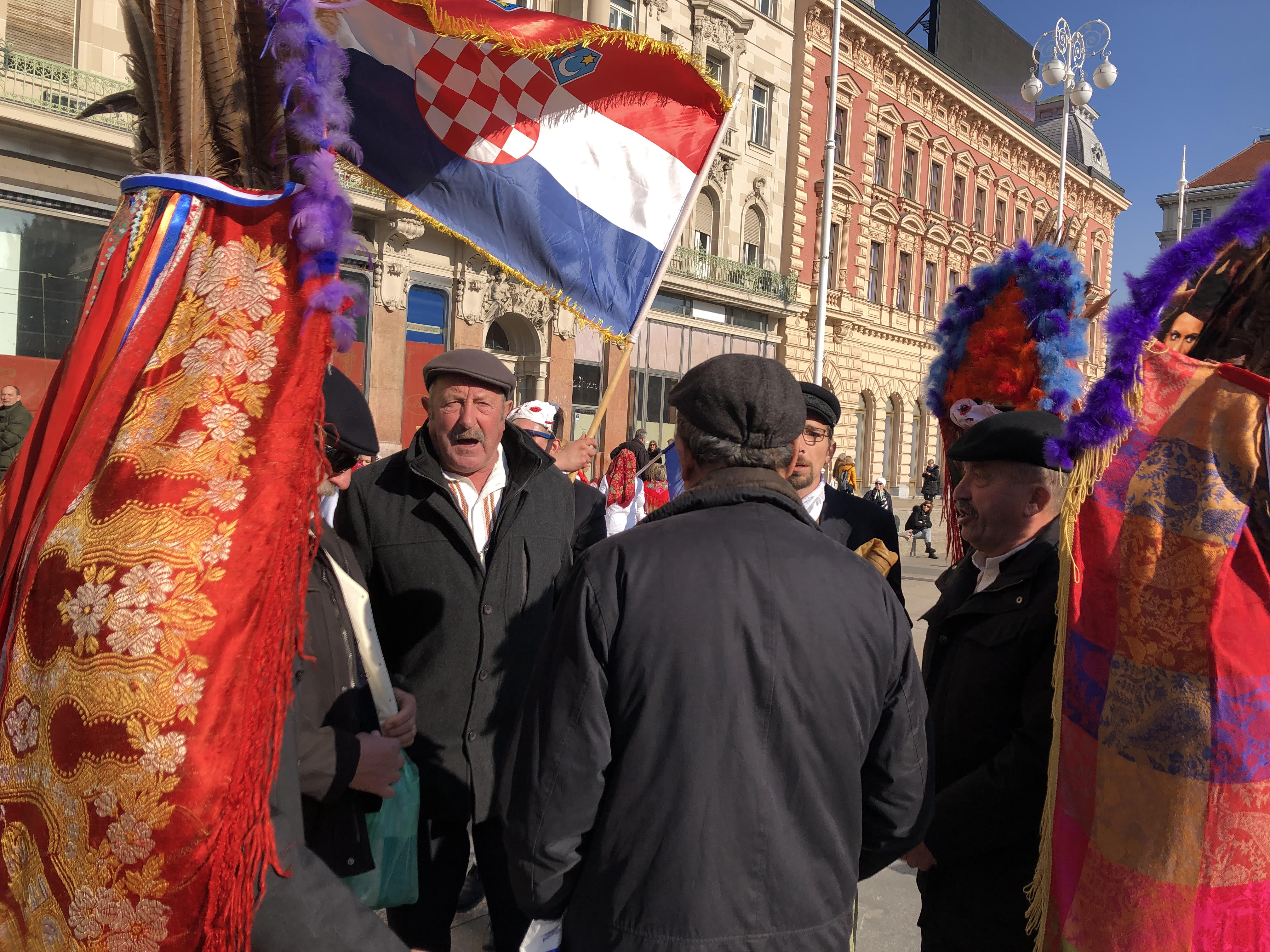
Croatia (Hrvatska) is a young nation state with very proud ancient roots. It had to endure a thousand years of foreign rule, invasions and wars before finally in 1992 being recognised as a distinct entity.
All words and pictures Copyright (c) Kerk Boon Leng March 2019
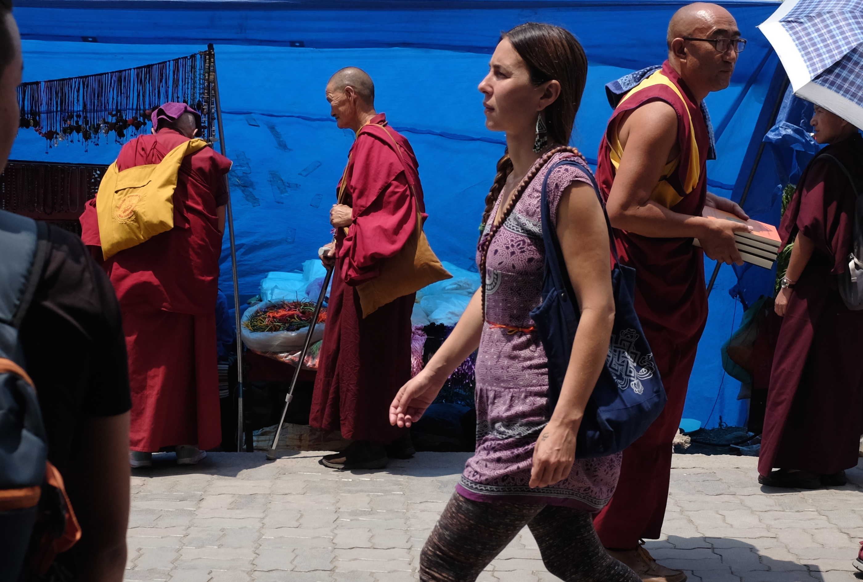
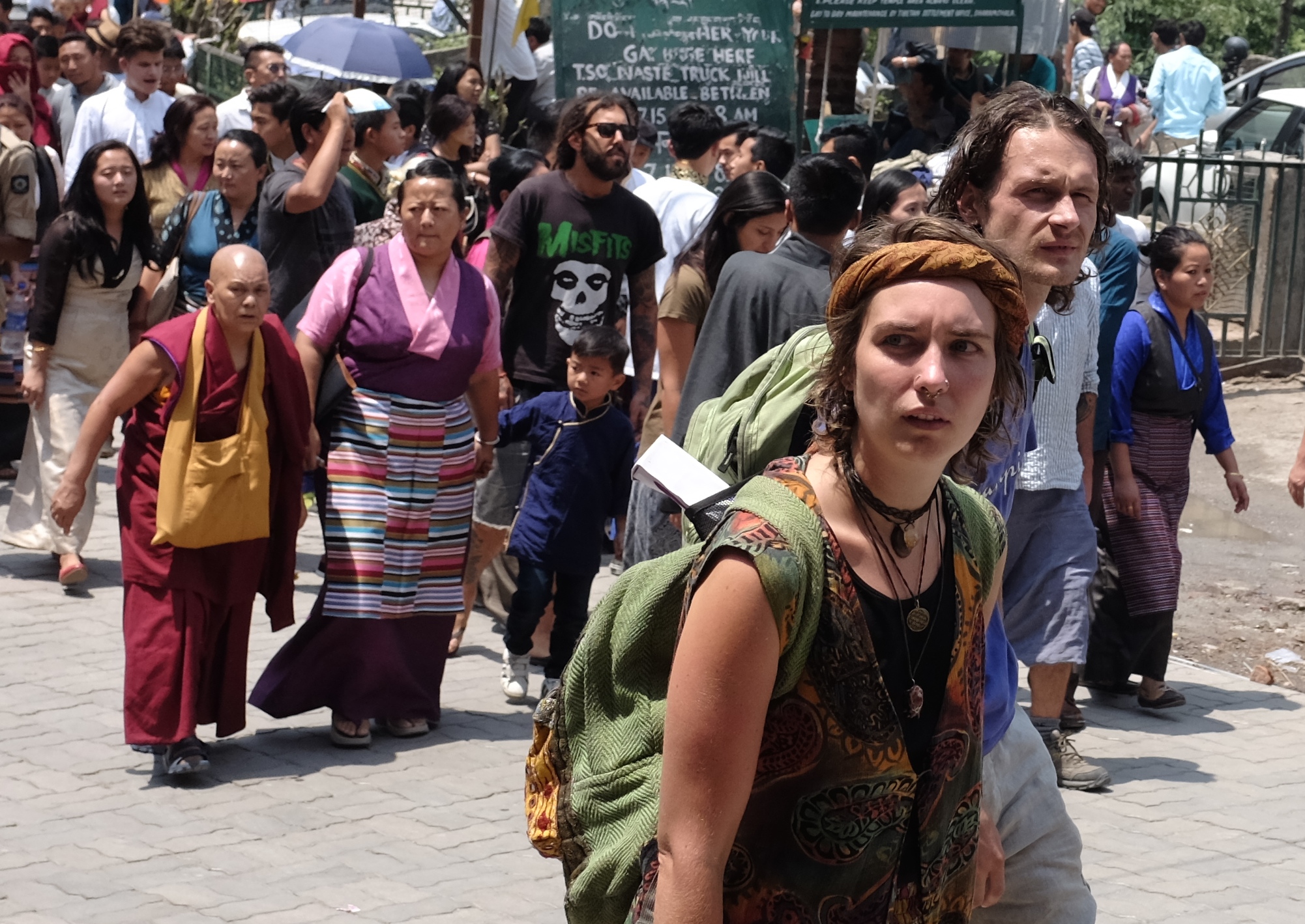
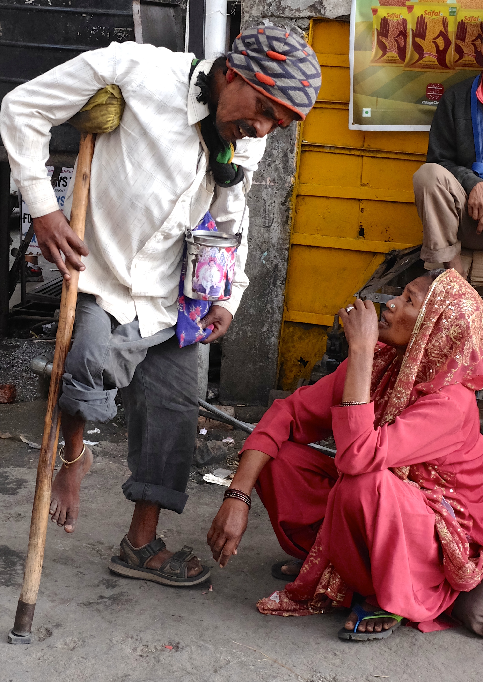
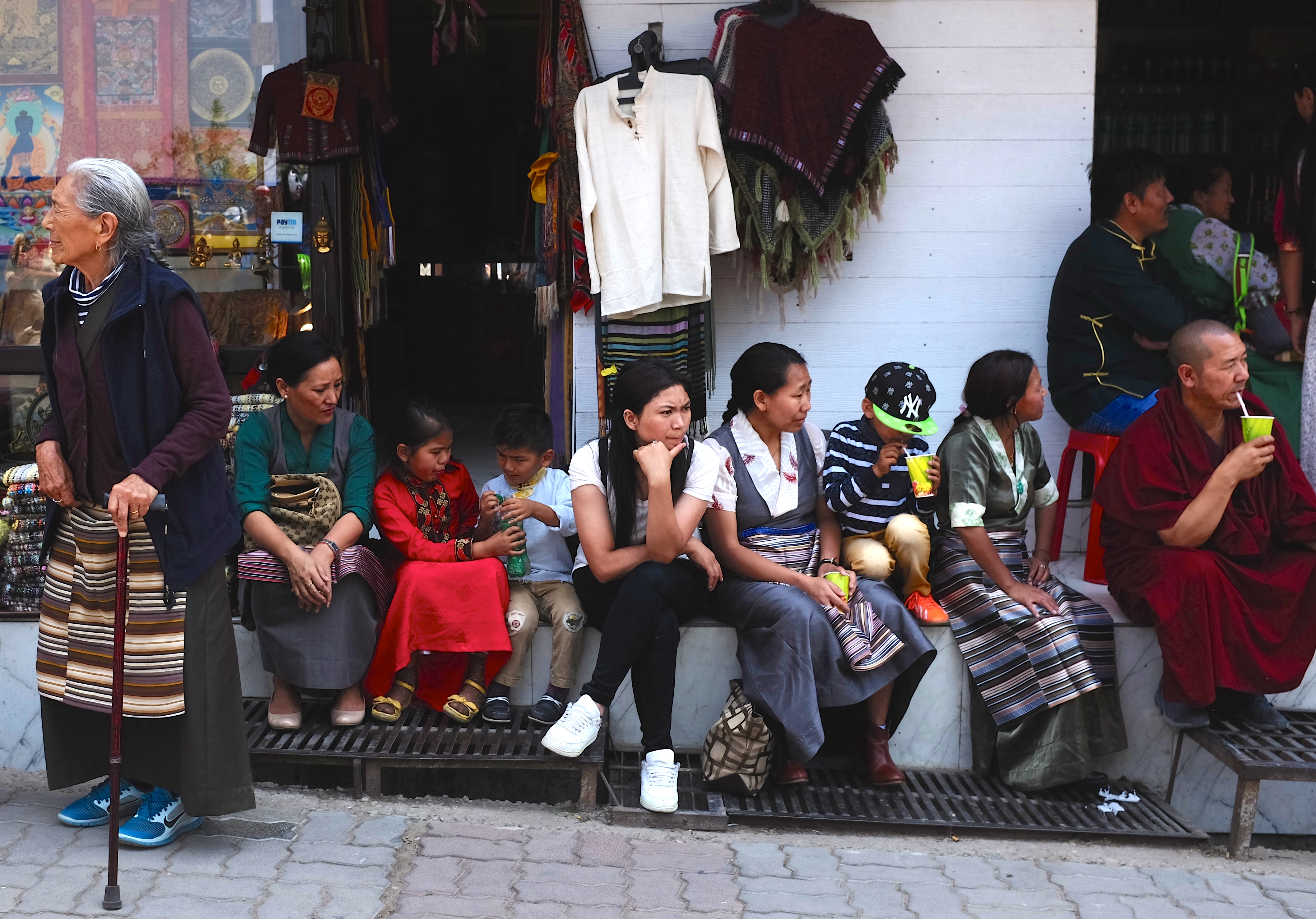
The Himalayan suburb of McLeod Ganj wearing an air of festivity and contemplation on a day celebrating the life, enlightenment and teachings of the Buddha.
Last year a day before Wesak I went to Dharamsala, a town in the far north of India situated at the foothills of the Himalayas.
Wesak or Buddha Purnima as it is called in the land of his birth commemorates the buddhahood or enlightenment of Siddharta Gautama on a full moon day under a fig tree two thousand five hundred and fifty years ago – almost six centuries before Jesus was born.
Once a domain of the semi-nomadic goat-herding Gaddi tribal people, the area now known as Dharamsala was annexed by the British in 1848. Enchanted by its English weather and scenery, the colonial newcomers constructed a cantonment for their Gurkha soldiers and established headquarters there for the surrounding district of Kangra.
Dharamsala soon developed into a popular hill station, attracting people of position and power including the Viceroy of India, the Earl of Elgin who on a visit in 1863 died of a heart attack while swinging across a river on a rope. He is buried in St John in the Wilderness, a small stone church just outside town.
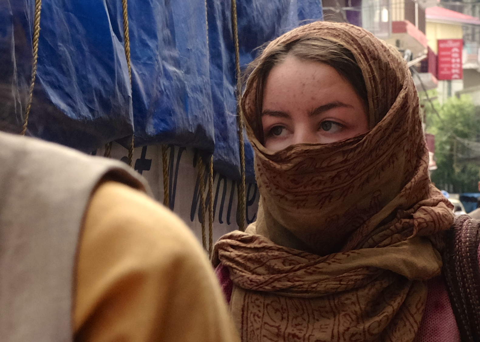
With its heady mix of Himalayan hill tribes, Tibetan exiles and western truth and thrill seekers Dharamsala is a fascinating place for political science studies, photography and people watching.
Despite its conspicuous Tibetan Buddhist population the majority (70%) of people in Dharamsala are from the indigenous Hindu ethnic groups including the Gaddis and Gujjars
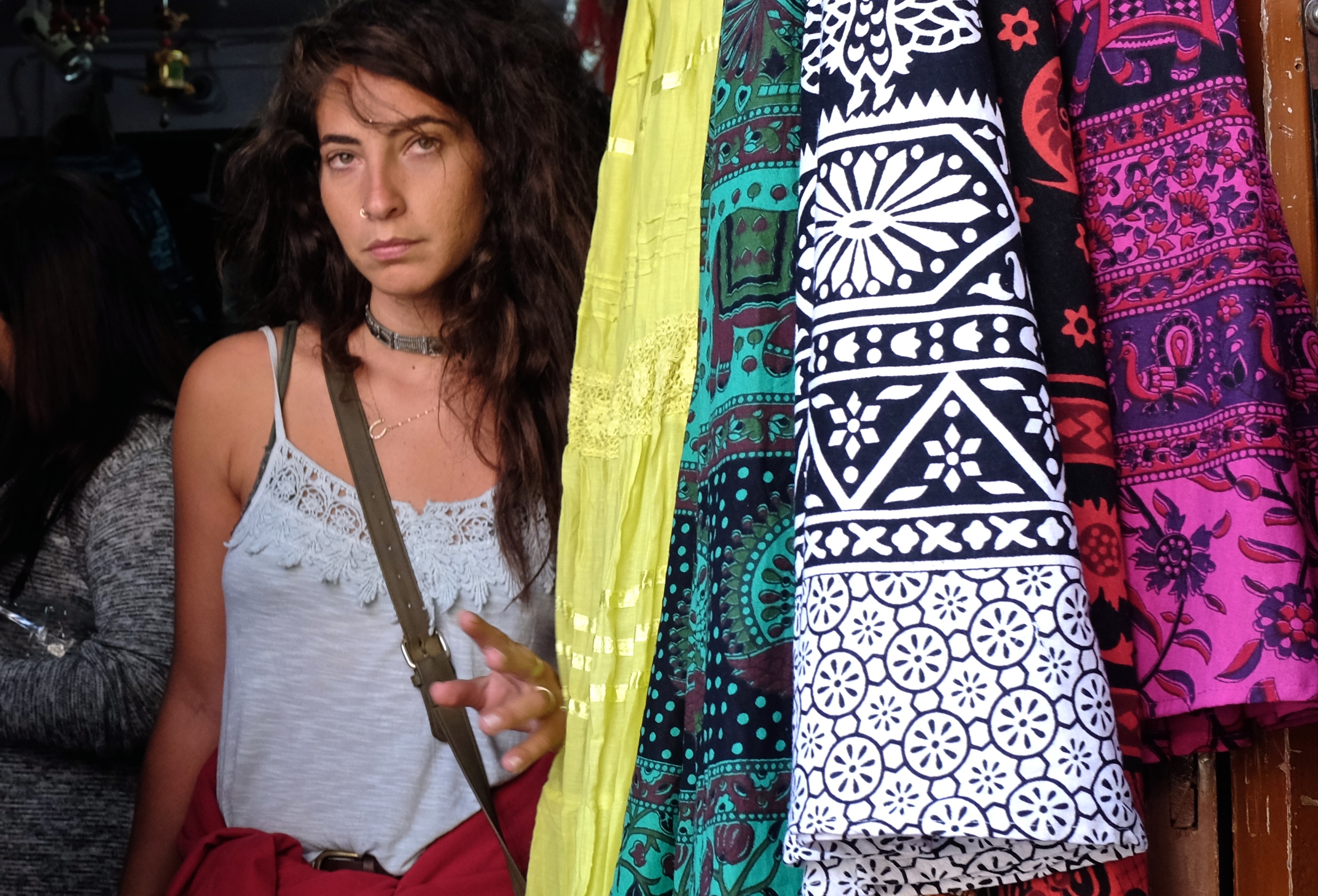
High altitude fashion: Himalayan Couture strung up and on display by the roadside
The name Dharamsala came from a religious term in Sanskrit loosely translated as “sanctuary”. It is an appropriate and prophetic name as Dharamsala has become a shelter of sorts for generations of disquieted humans running away from something somewhere.
The refuge seekers included Raj-era Englishmen escaping from India’s heat; Tibetans from Chinese persecution; post-conscription Israeli youths from troubles and tensions in the Middle East; and legions of spiritual tourists of every nationality from society’s contaminating influence and stress.
Perhaps I too was seeking something, tired and anguished by the condition of my then ailing late father. I was drawn to Dharamsala by stories I had heard and news I had read about the hardships and yearnings of its exiled Tibetan community and by the happy and peaceful teachings of their deeply revered leader Tenzin Gyatso, the 14th Dalai Lama.
I got there just as the sun started to sink slowly behind the stately stands of cedar trees around McLeod Ganj, the town’s upper suburb perched scenically on the slopes of the Dhauladhar Mountains.
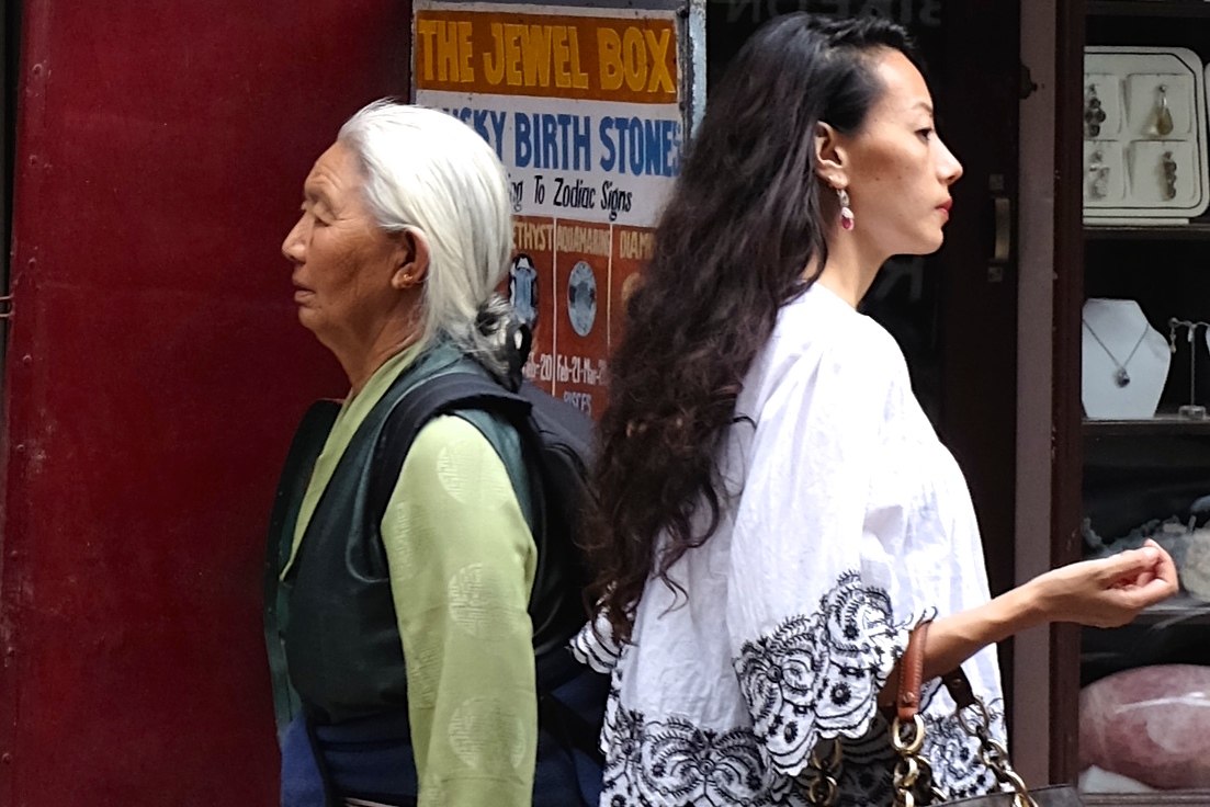
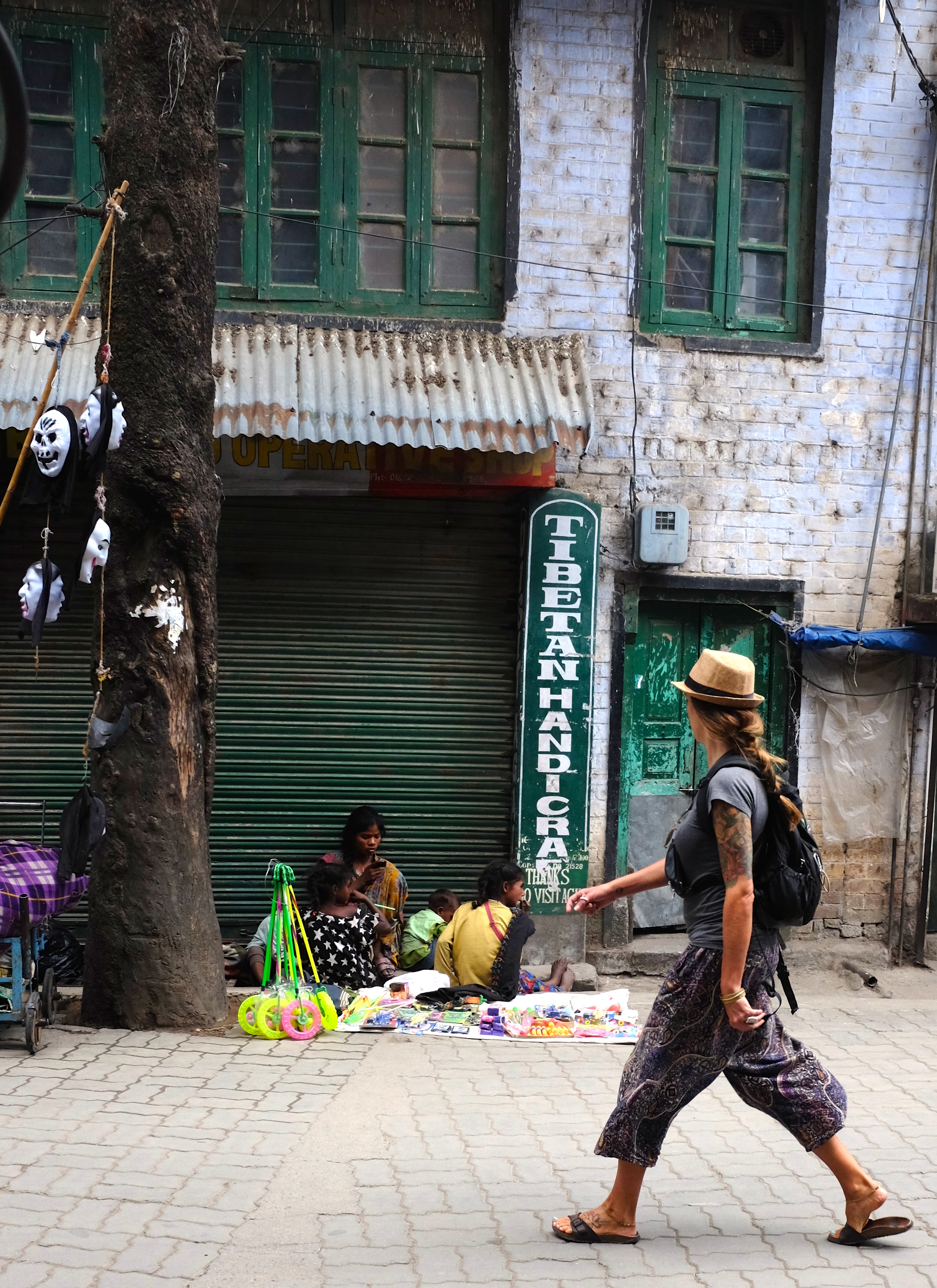
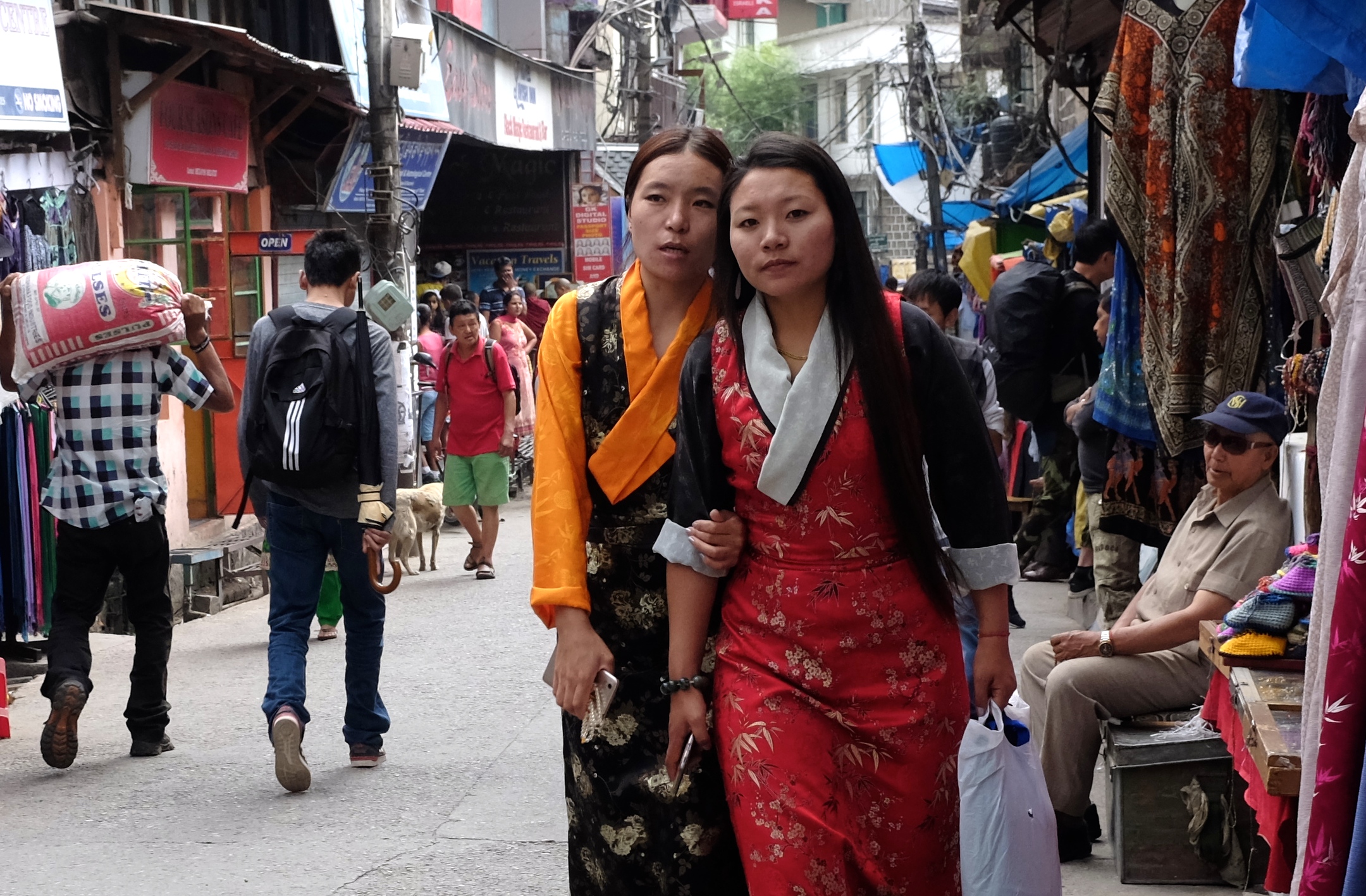
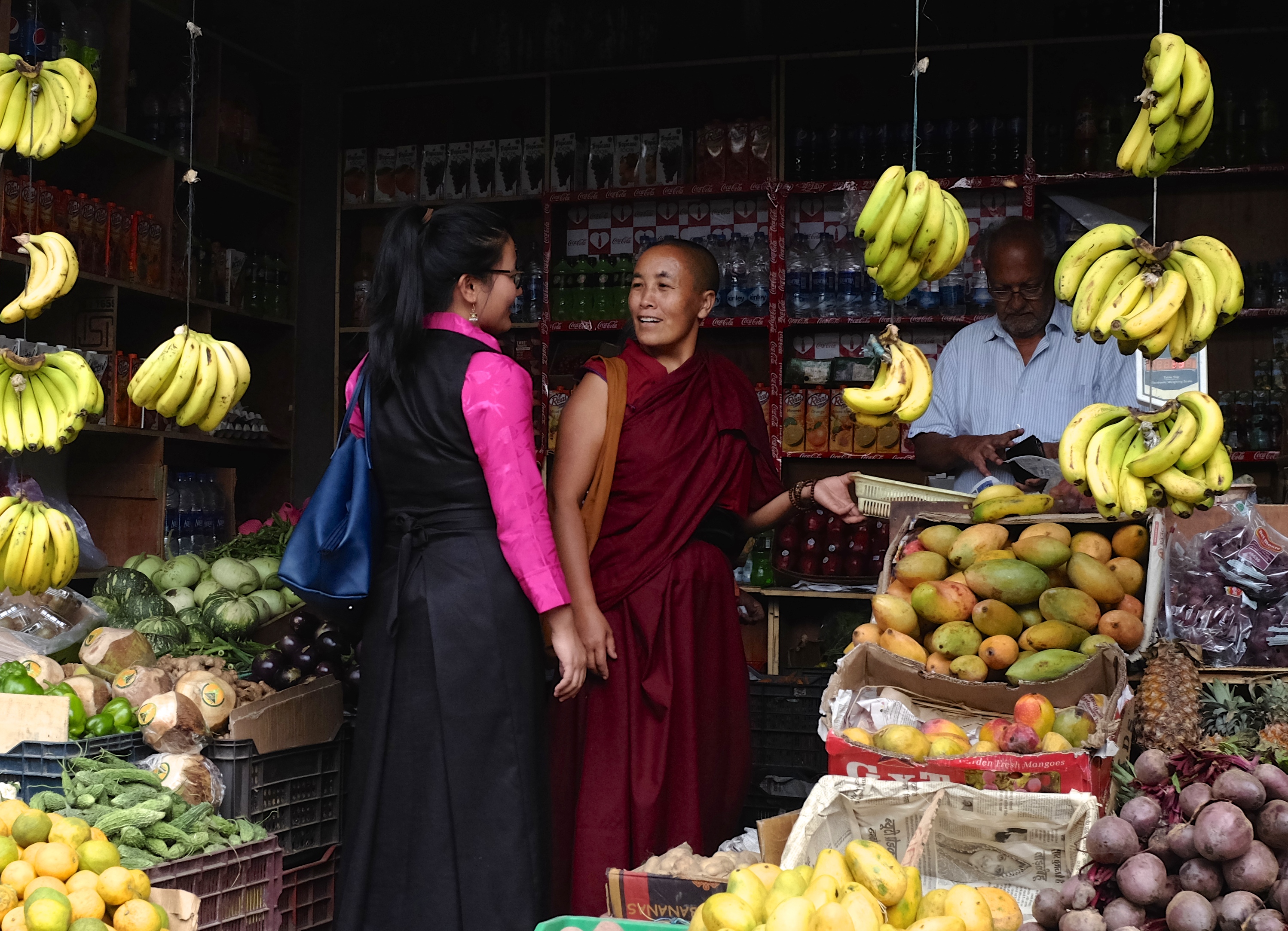
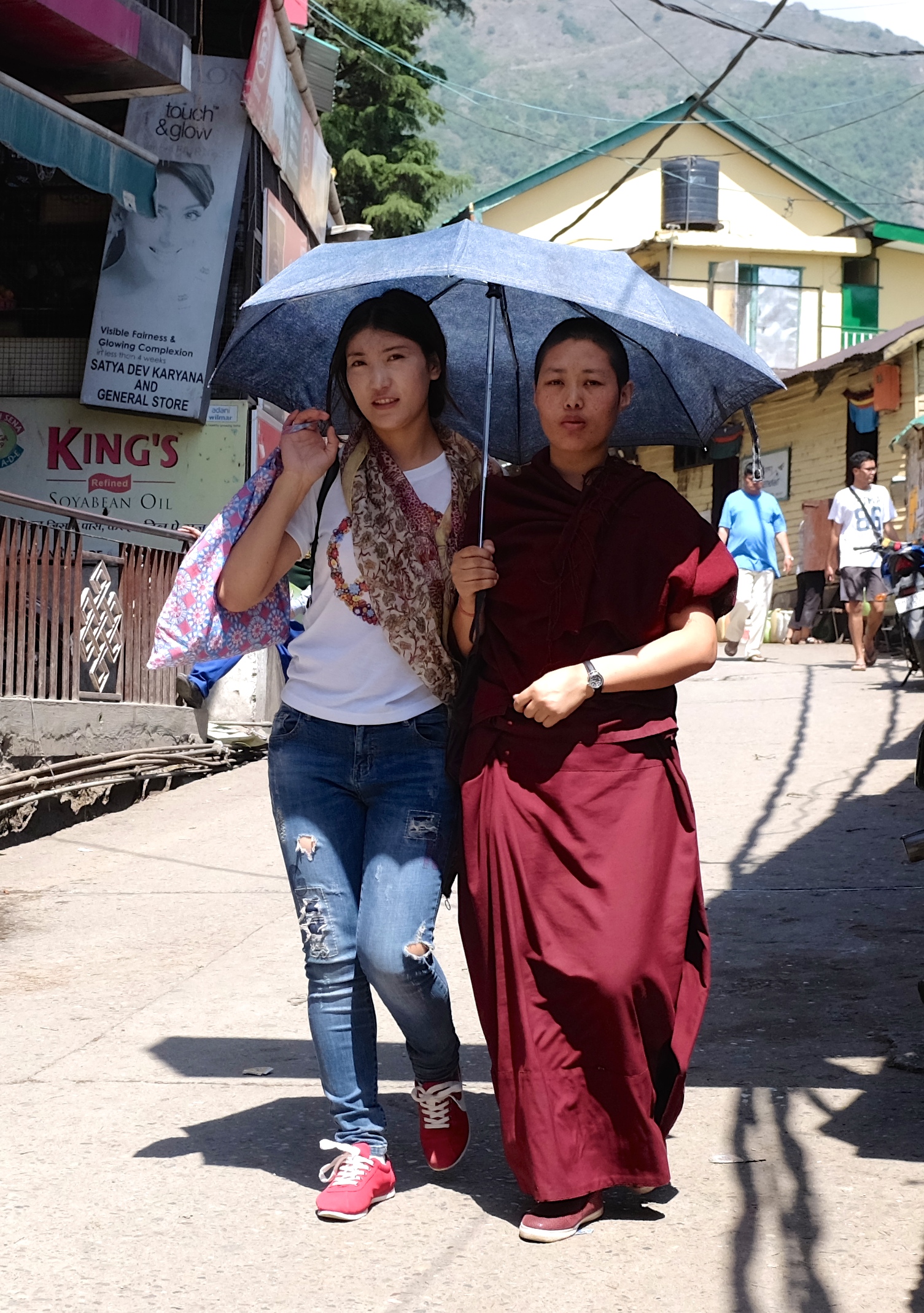
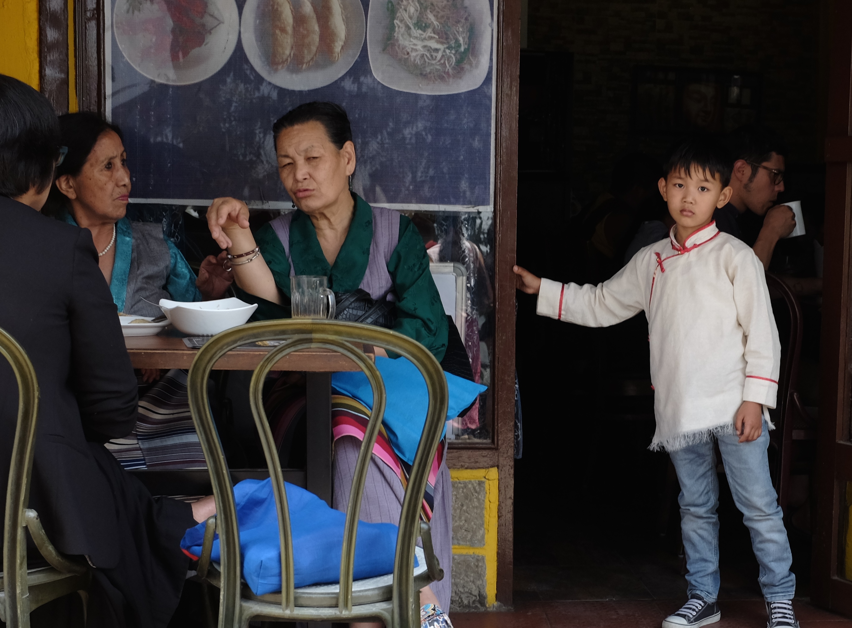
With its meditative monasteries, noodle and dumpling shops and high-cheeked sunbronzed faces garbed in maroon robes, McLeod Ganj exudes so much in the manner of Tibet they nostalgically nicknamed it “Little Lhasa”.
Tibetans in Dharamsala are not as harmonious and homogenous as they appear. The community is divided by the region they come from and between the descendants of the refugees who came with the Dalai Lama in 1959 and newcomers who arrived after.
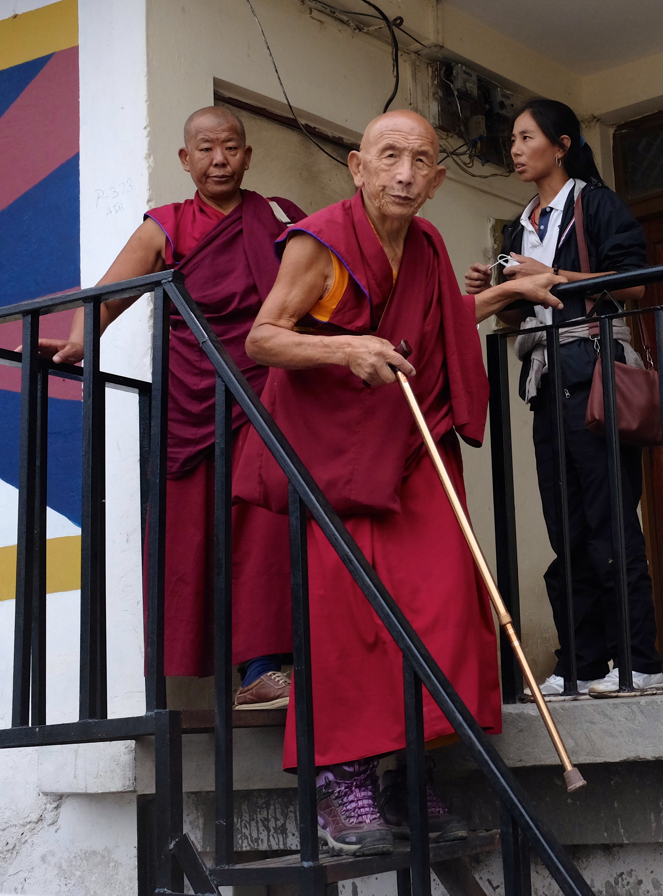
A proud patrician face of a Tibetan elder in resplendent red tunic
vegetable vendor near the Dalai Lama Temple
Colourful souvenir scarves for sale in a shop in McLeod Ganj.
Noon crowds coming out of the Main Temple after listening to a speech by His Holiness the Dalai Lama
Today’s young foreigners are as drawn to Dharamsala as their predecessors. Large number of Israeli youths fresh from compulsory military service now make the nearby Himalayan villages their second home. Peaceful natural environment, acceptance by the locals, cheap costs of living, and availability of marijuana have been cited as reasons.
The image many still perceive of India
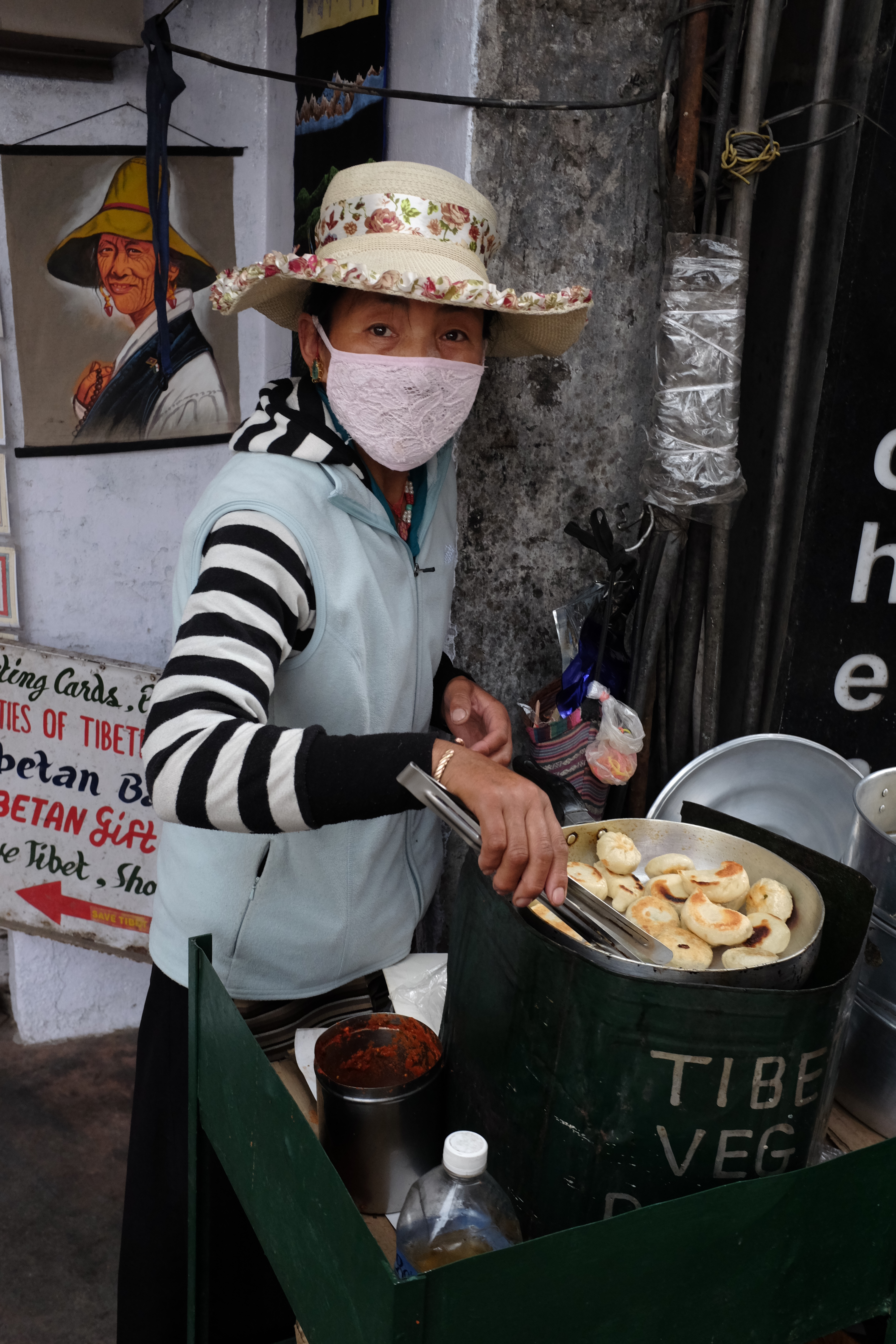
Woman making pan fried momo, the town’s Tibetan street food of choice
There are today around 100,000 Tibetans in India where their status is one of long-term guests of the country and not refugees. Rather than keeping their future in a limbo many young and educated Tibetans are migrating to the west. Such emigration plus the mere trickling of new arrivals from Tibet are the reasons for a potentially falling population.
A slow walk to the hippies hamlet of Dharamkot just 4km from McLeod Ganj
Although without citizenship rights, Tibetans have contributed greatly to the economy of Dharamsala. Their six-decade presence in India has further enhanced the country’s reputation as an accepting, welcoming and freedom-loving civilisational nation.
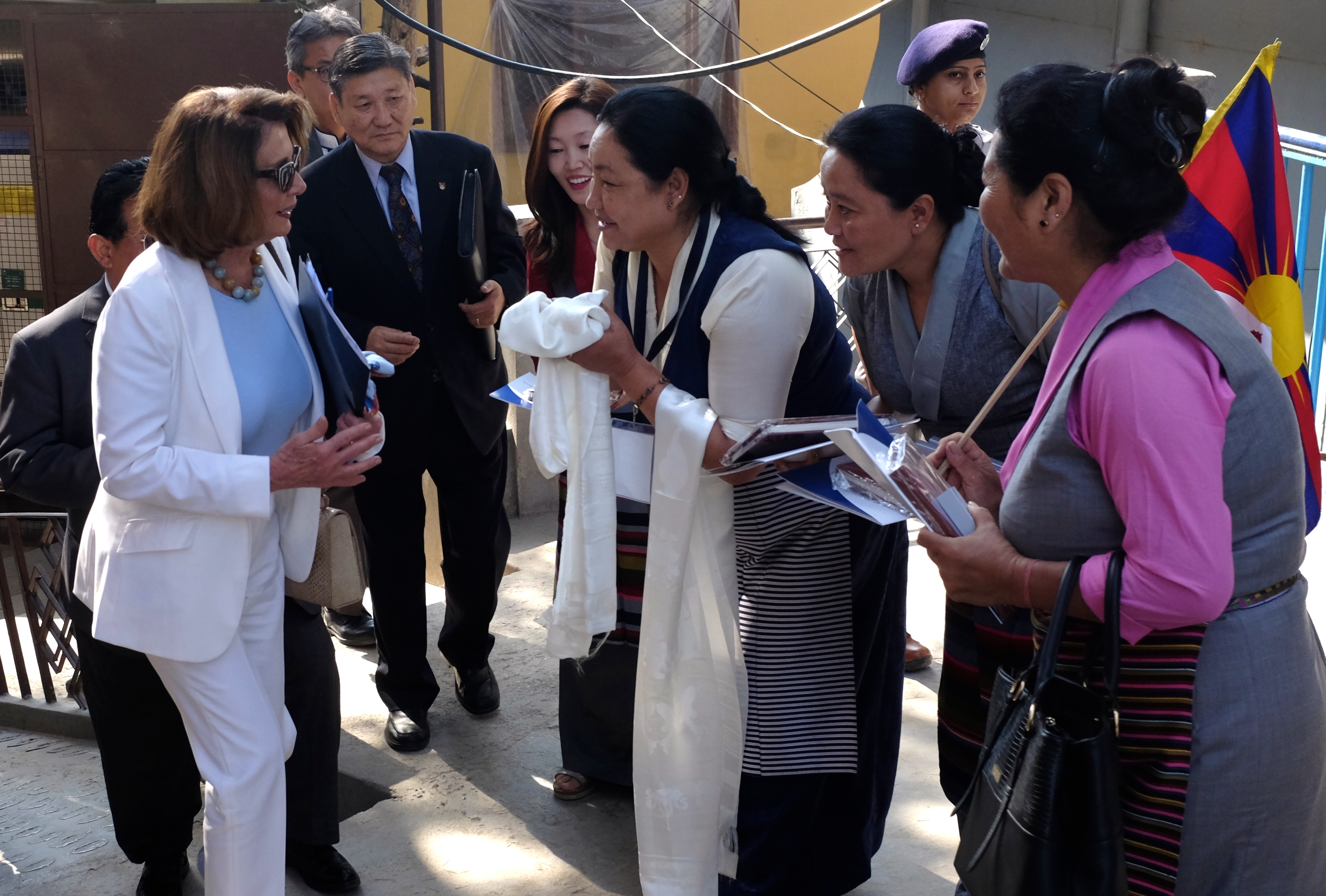
Nancy Pelosi, the former Speaker of the US House of Representatives in Dharamsala. Like Palestine and Taiwan, the Tibet question is emotionally-charged and politically divisive. Chinese view is that Tibet is historically a part of China and that the military invasion in 1950 was to liberate the Tibetan people from medieval subjugation by a slave-owning feudal theocracy.
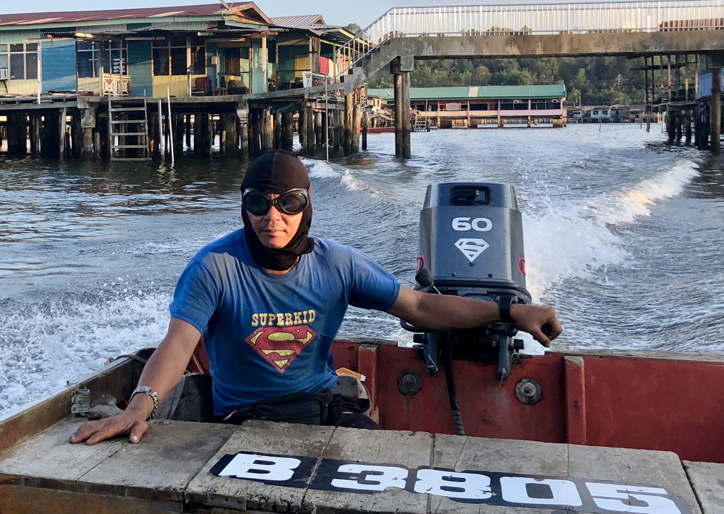
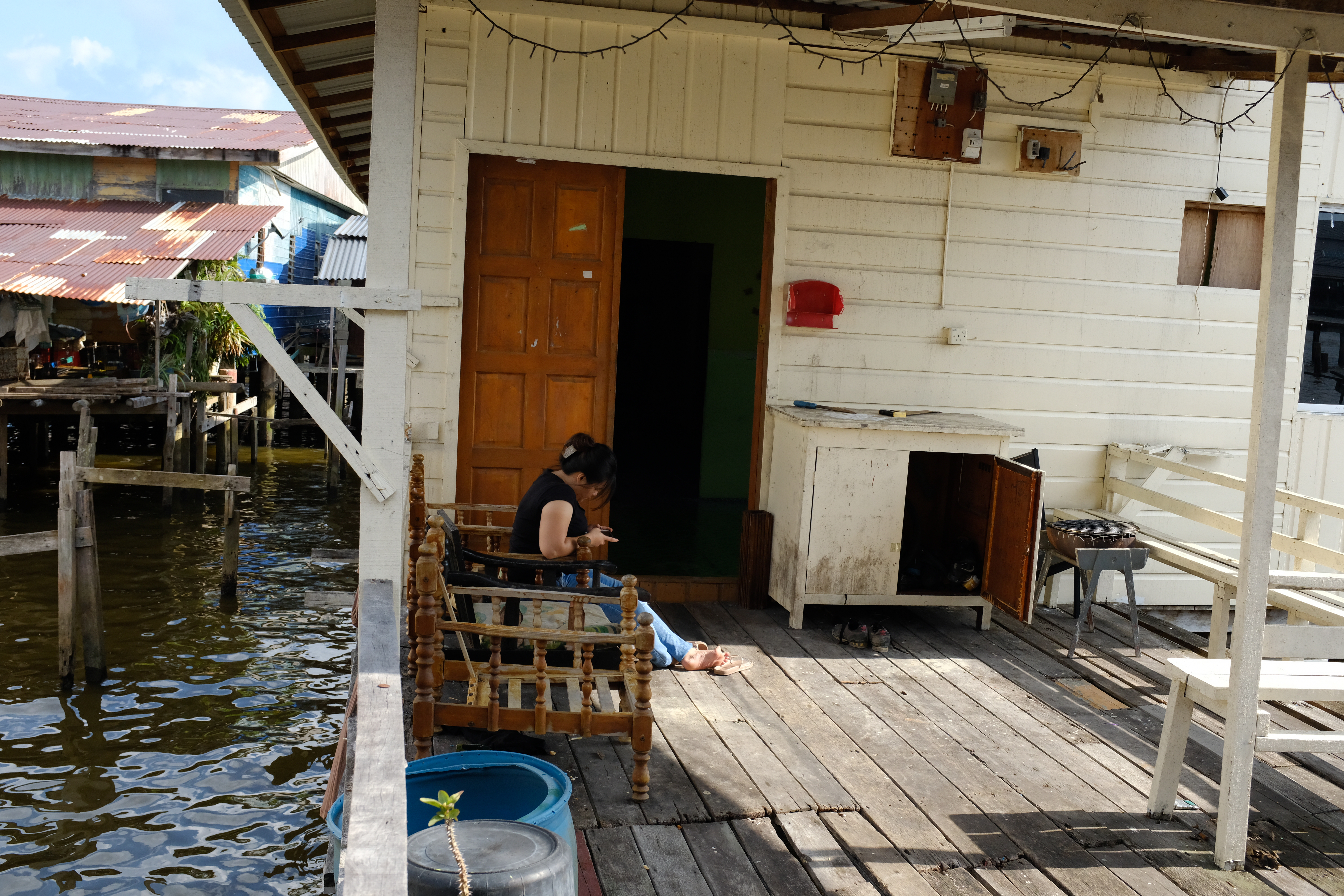
Superman on a hired speed boat in Kampong Ayer. Brunei is more fun than belies its staid image as a oil rich conservative kingdom.
I won’t lie about Brunei.
It is absolutely a place worth going for a break. Many people get it wrong that there is nothing to see in Brunei. The truth is there is more to Negara Brunei Darussalam than its oil, king and islam.
For a country slightly less than twice the size of Luxembourg with a population of just over 400,000 there are surprisingly interesting things to see and enjoyable experiences to be had in Brunei.
It need not be a boring place at all but visiting the Sultanate of Brunei is a bit like going on a spiritual retreat. You’ve got to let go of all expectations, judgment and even your fear to gain amazing insights. You need to quiet down your mind and abandon your ego and all you think you might know about global travel before this lightly-touristed kingdom and its wondrously kind inhabitants open up their generous hearts to you.
Red hat and furry pet drawing a Sunday crowd
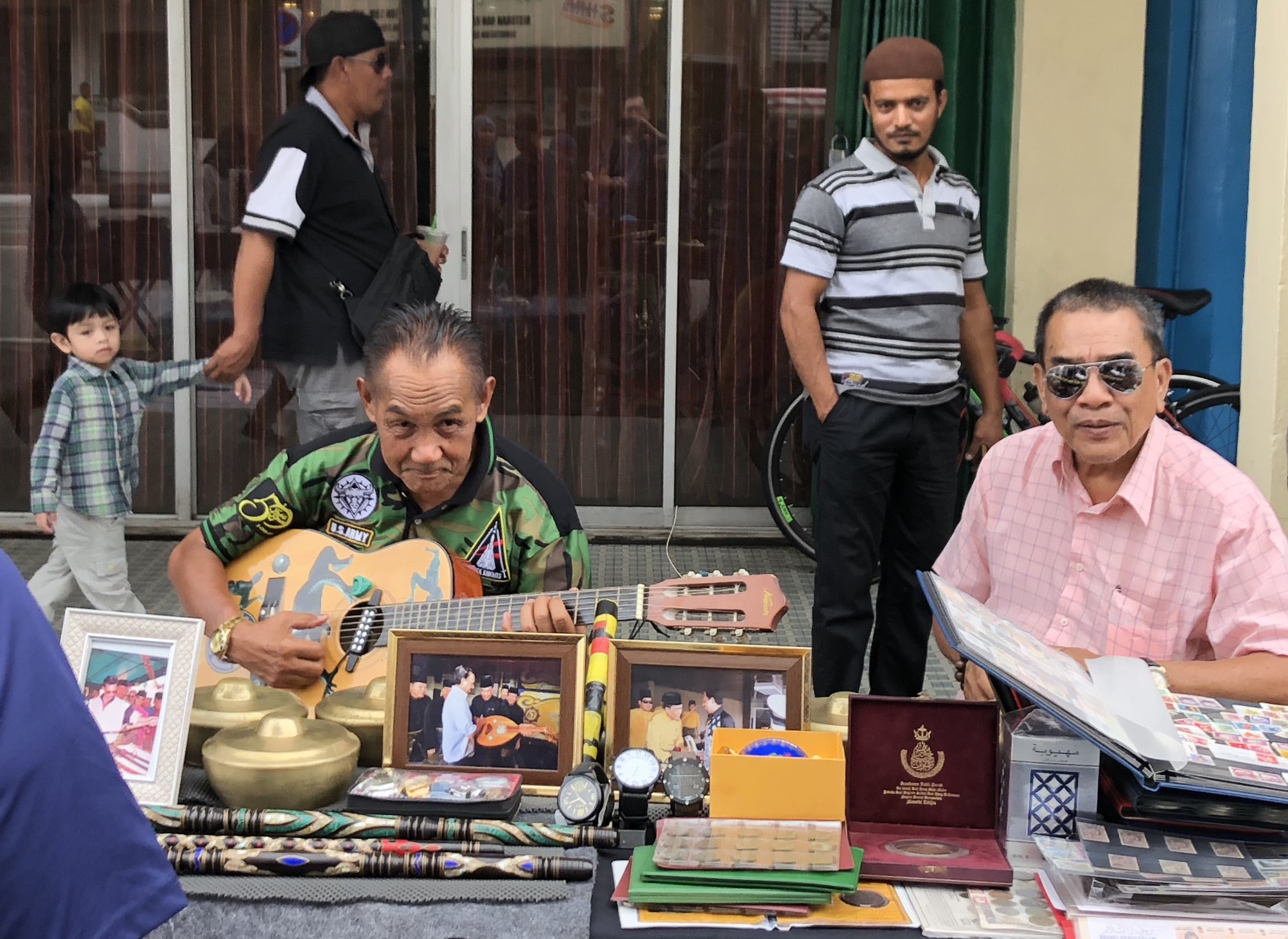
Music and memorabilia at a flea market on Jalan Sultan Omar Ali Saifuddien, the city’s main street named after the king’s father who abdicated on 5 October 1967 in favour of his eldest son.
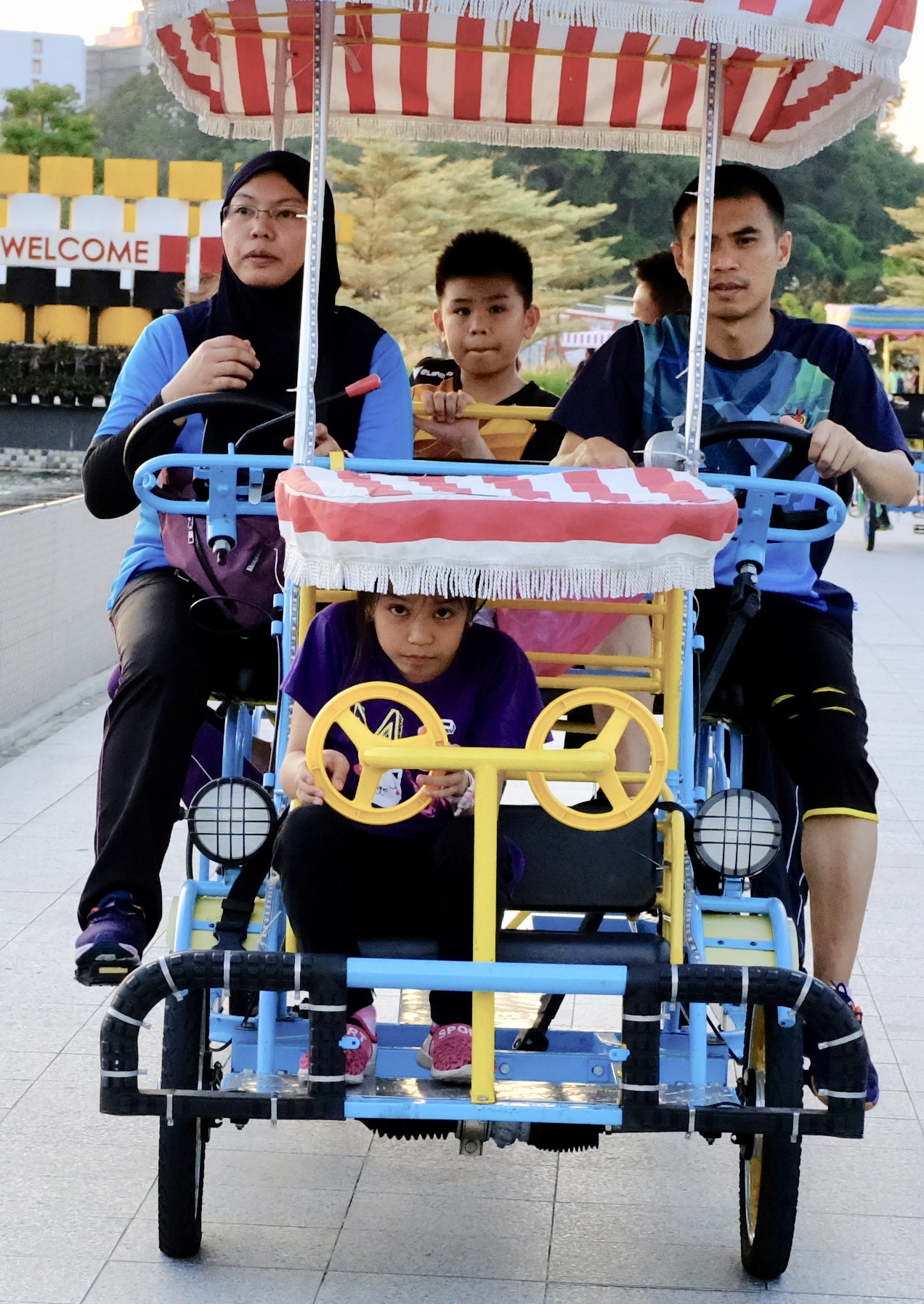
Brunei is a great place for raising a family. Here in the 4th richest country in the world by GDP per capita, citizens get free healthcare, tertiary education and subsidised housing
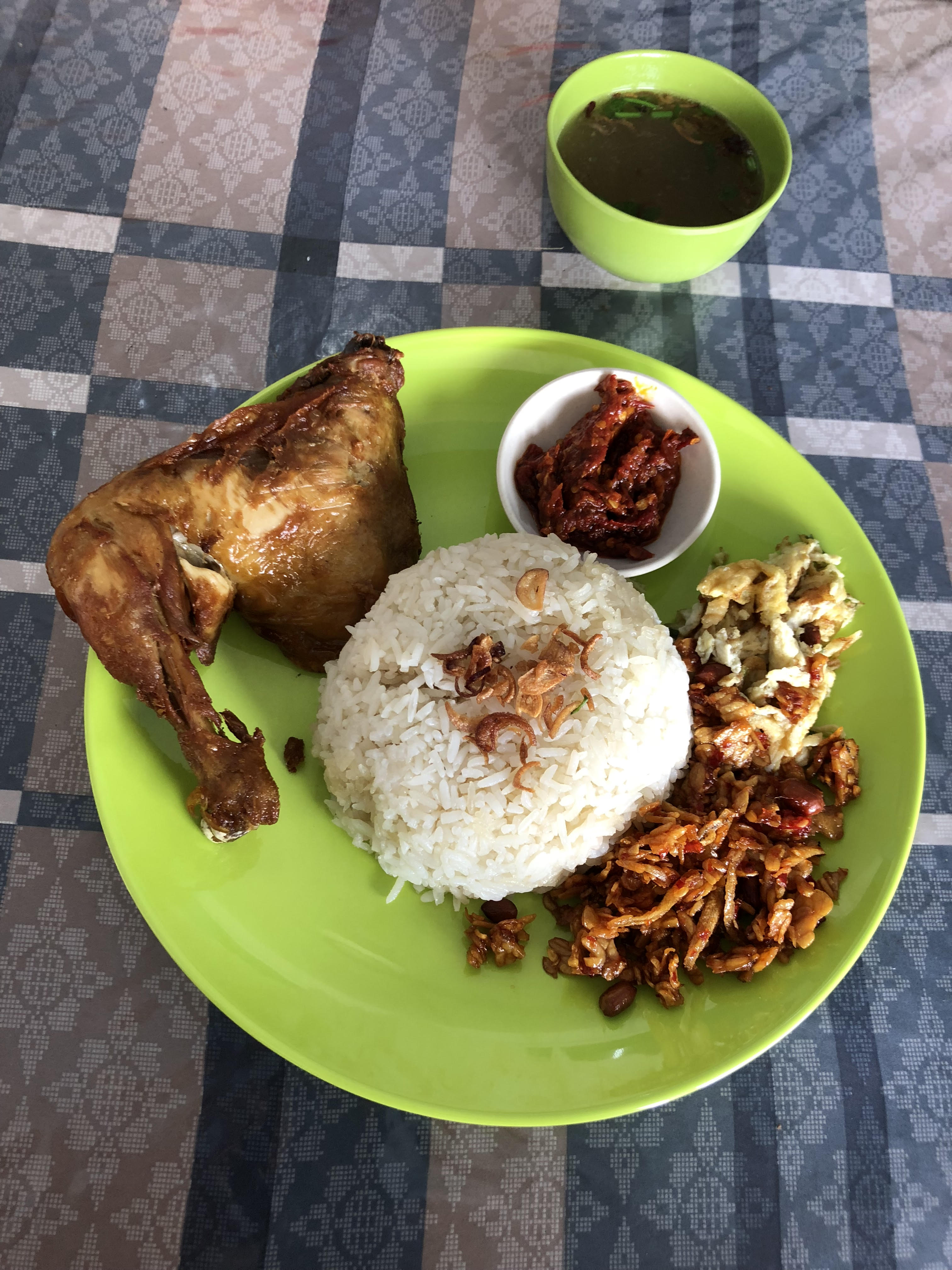
Nasi Katok- the local take on the Malay staple of fragrant steamed rice, chilli shrimp paste, eggs, tempeh and crispy fried chicken
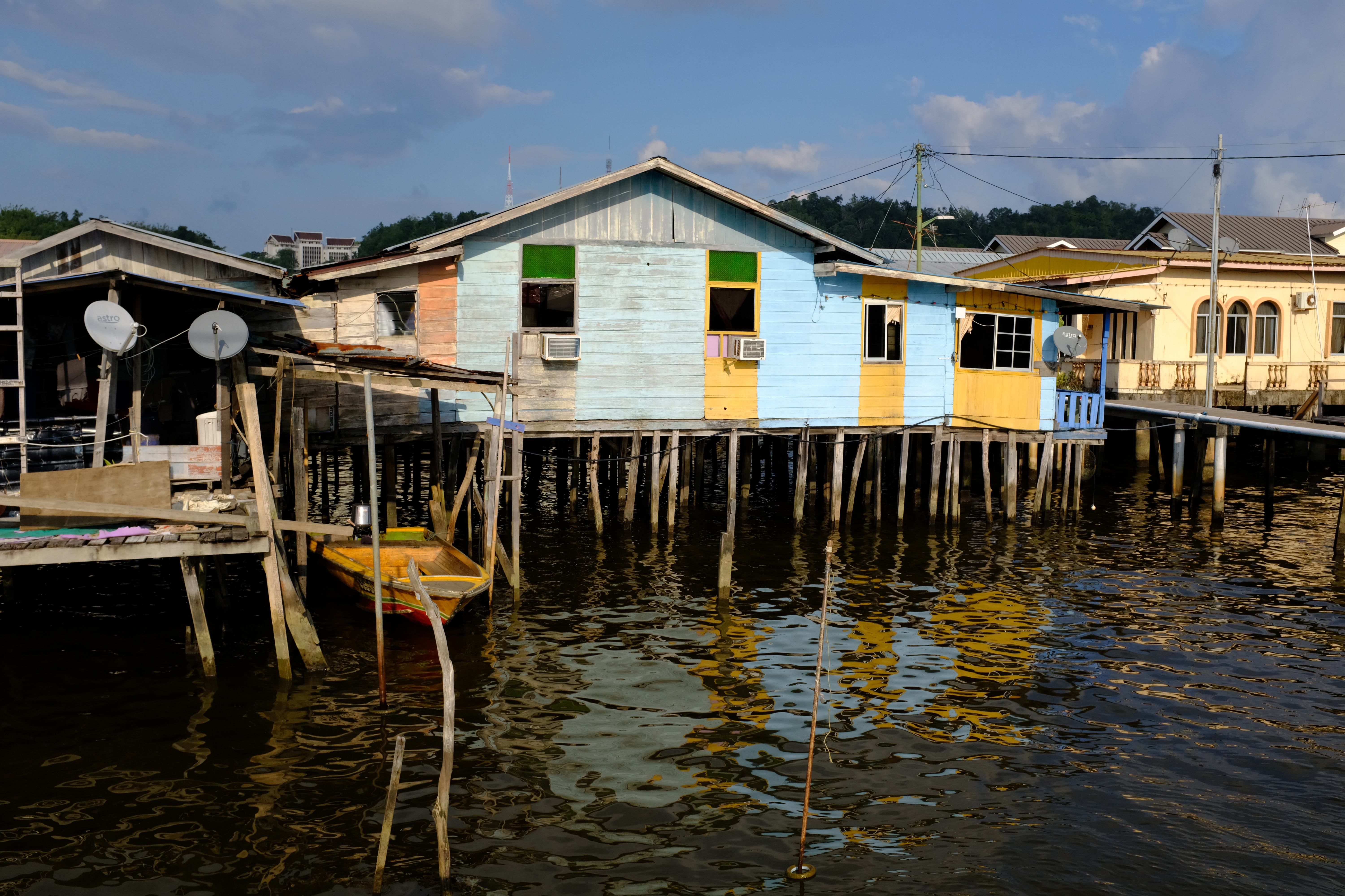
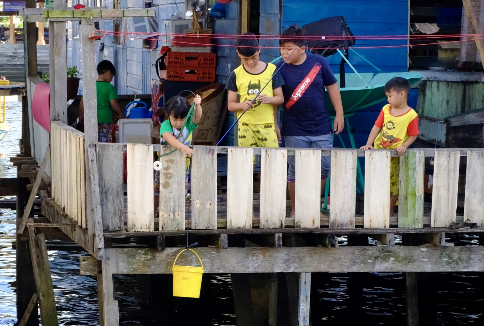
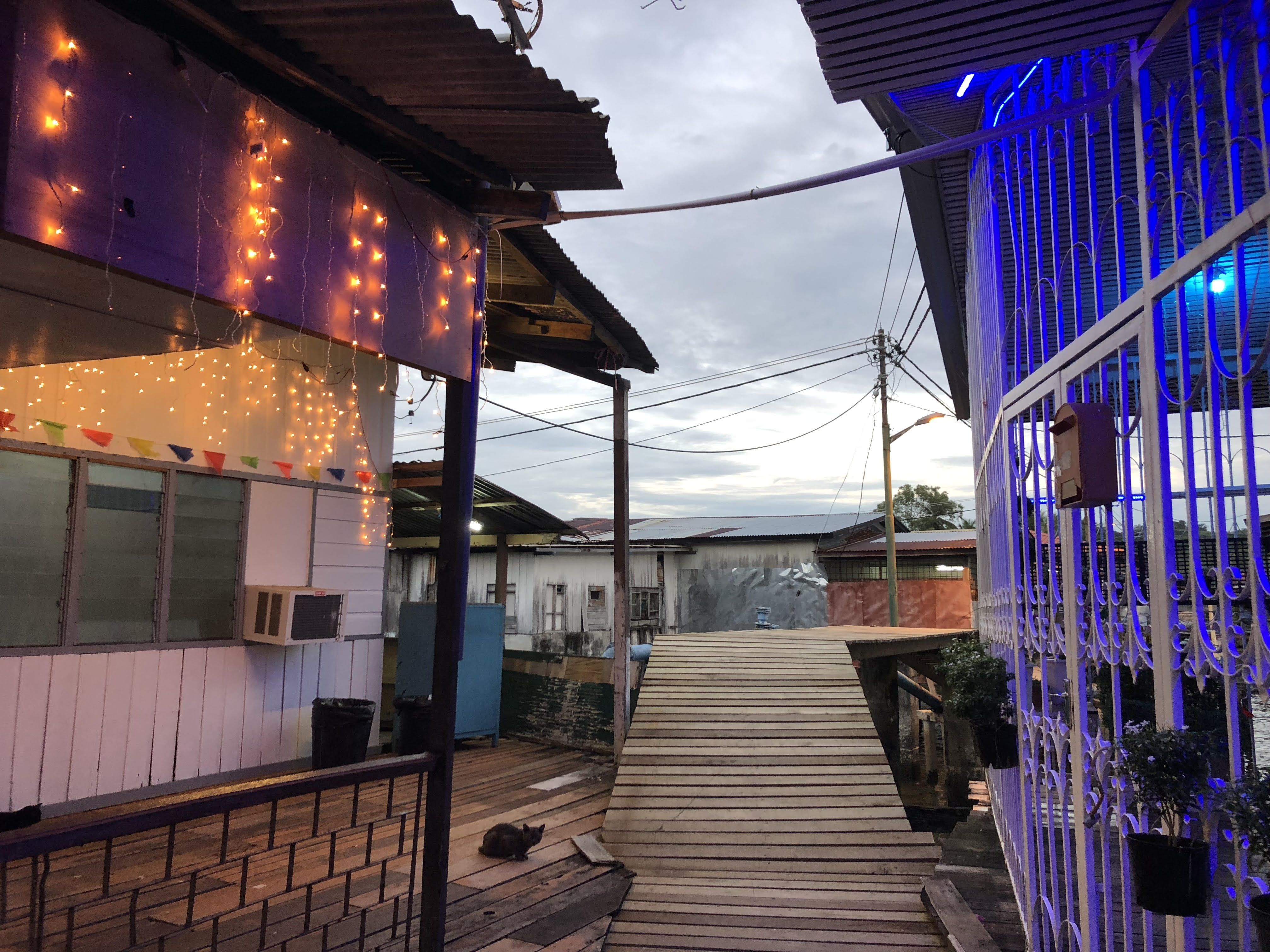
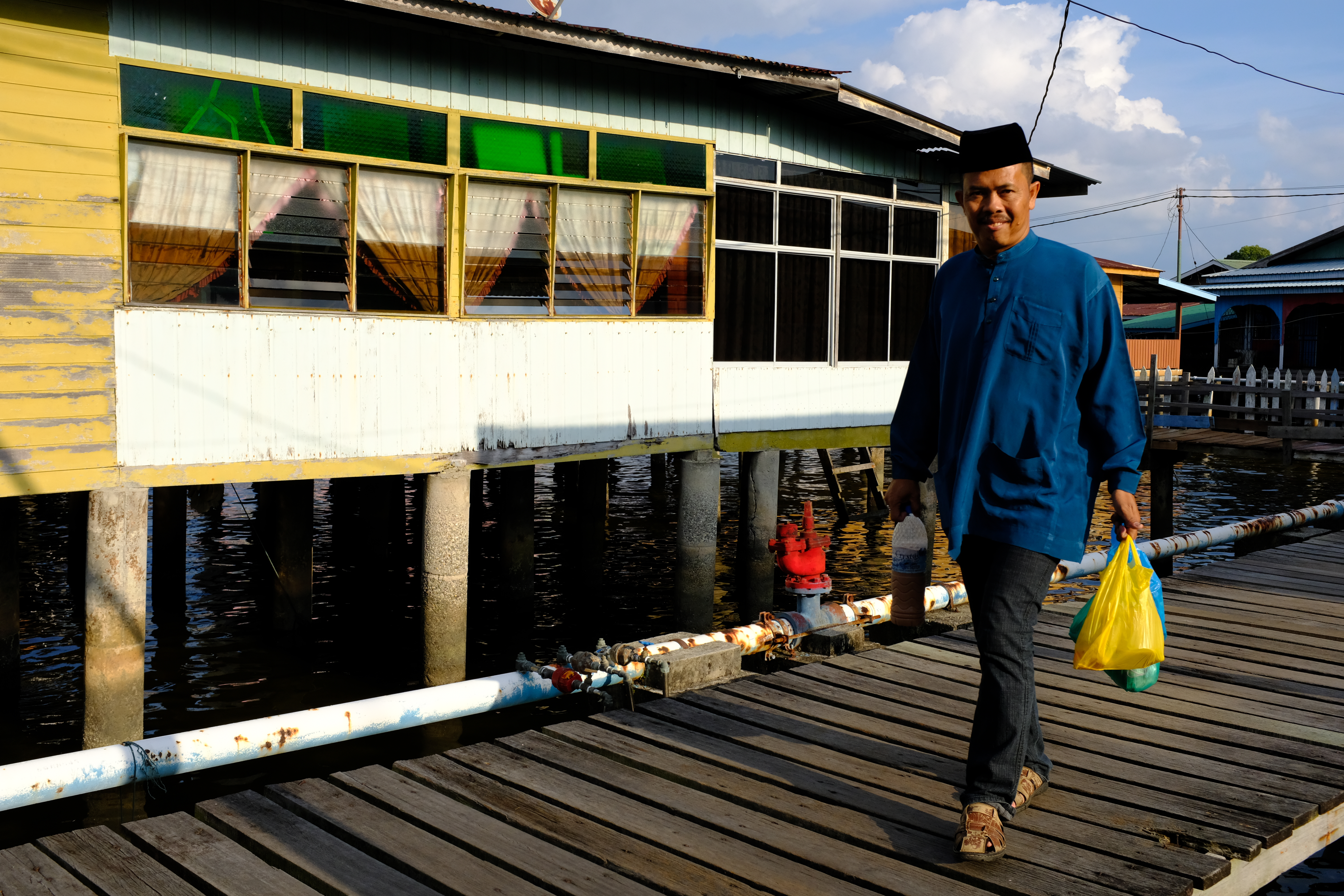
Ambling along the stilted timber walkways of Kampong Ayer on a hot afternoon with the sounds of lapping water and distant sputter of boat engines brings to mind the country’s name Darussalam – Arabic for “Land of Peace”
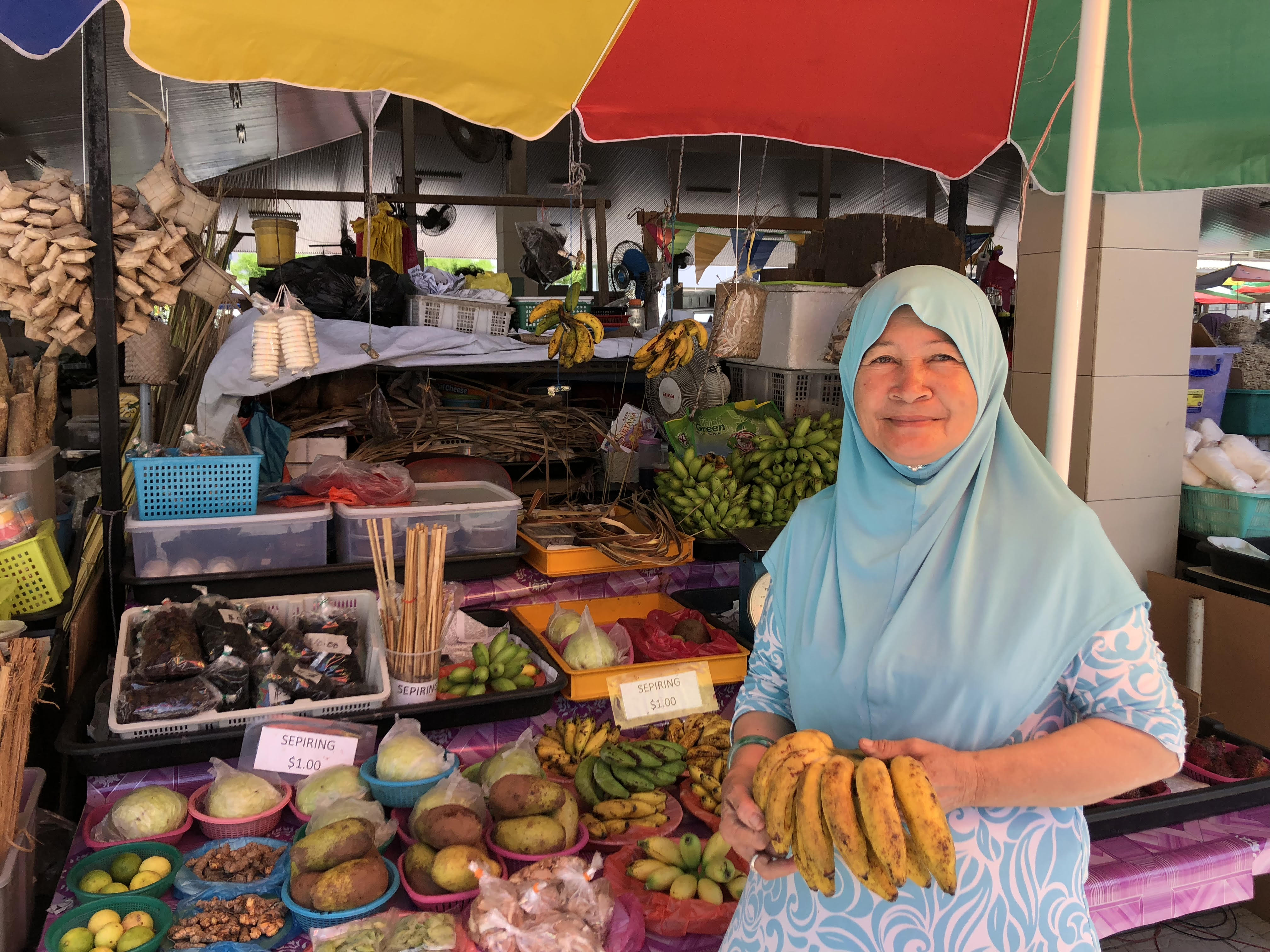
The kindest fruit seller in the world. Returning each morning to buy fruits from this nice woman in Kianggeh Market she gave me a free bunch of bananas and two unidentified green mango-looking fruits to bring back home with me
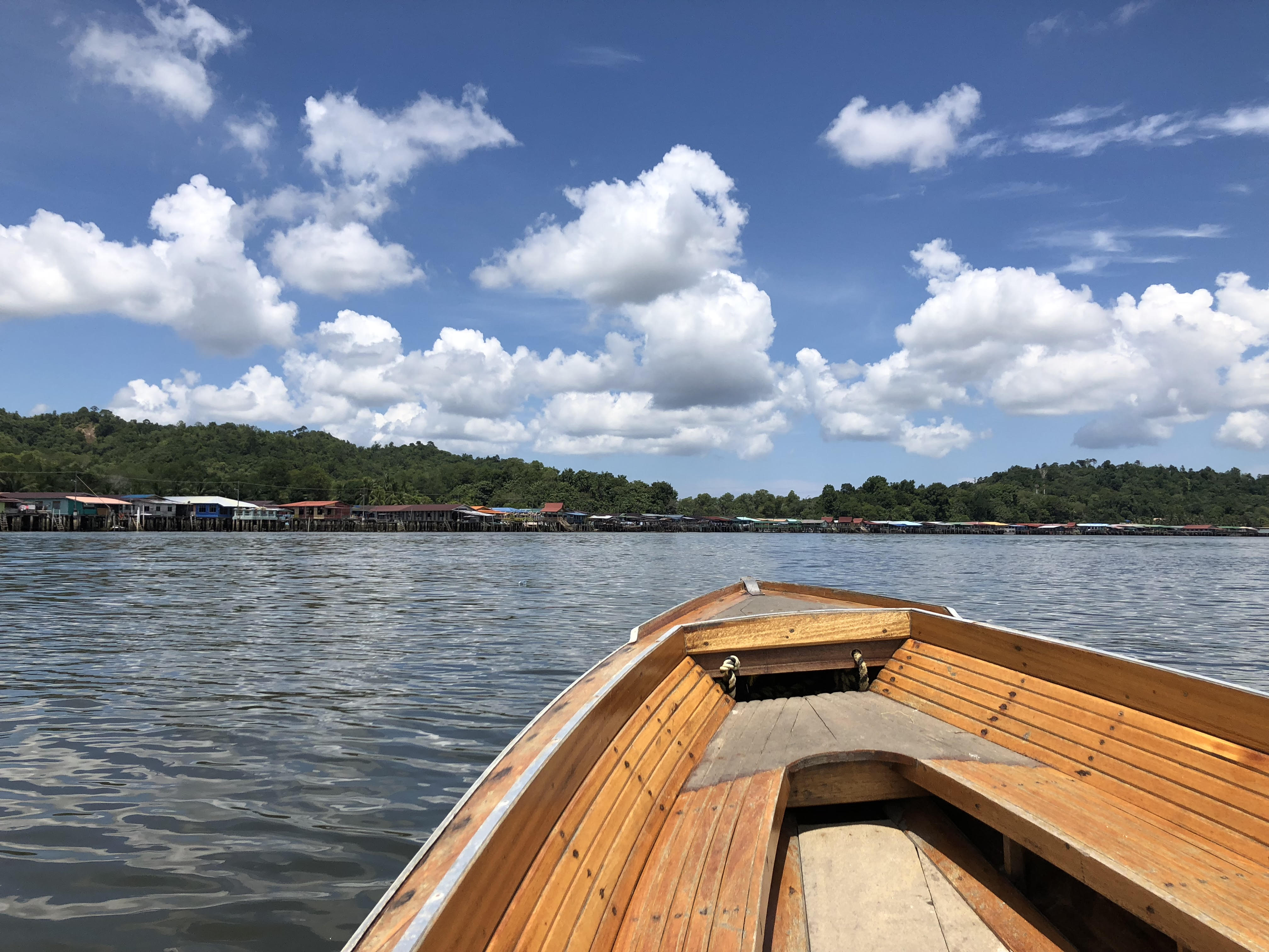
Brunei’s interesting water city made up of a few dozens interconnected stilted villages has been around for nearly a thousand years. It continues to define the country’s character as an ancient Malay maritime kingdom right up to this day
Where once half of Brunei’s population lived, today less than 14,000 people still call Kampong Ayer home.
The most unique and under-appreciated attraction in Brunei has got to be its calm, quiet and quirky capital Bandar Seri Begawan (called Brunei Town before 1970) which is home to the largest above-the-water city built with wood in the world.
Over preceding centuries people from near and far had come to know Brunei as a powerful Malay kingdom. Even the name of the island of Borneo came from Brunei.
The earliest detailed description of Brunei was given by an Italian explorer who travelled in Magellan’s ship on the first voyage around the world. His name was Antonio Pigafetta. He was from Venice, a famous city also built on top of the sea.
Pigafetta wrote this in his journal in 1521:
“This city is entirely built on foundations in the salt water, except the houses of the king and some of the princes: it contains twenty-five thousand fires or families.The houses are all of wood, placed on great piles to raise them high up. When the tide rises the women go in boats through the city selling provisions and necessaries. In front of the king’s house there is a wall made of great bricks, with barbicans like forts, upon which were fifty-six bombards of metal, and six of iron. They fired many shots from them during the two days that we passed in the city.
The king to whom we presented ourselves is a Moor, and is named Raja Siripada: he is about forty years of age, and is rather corpulent. No one serves him except ladies who are the daughters of the chiefs. No one speaks to him except by means of the blow-pipe as has been described above. He has ten scribes, who write down his affairs on thin bark of trees, and are called chiritoles. He never goes out of his house except to go hunting.”
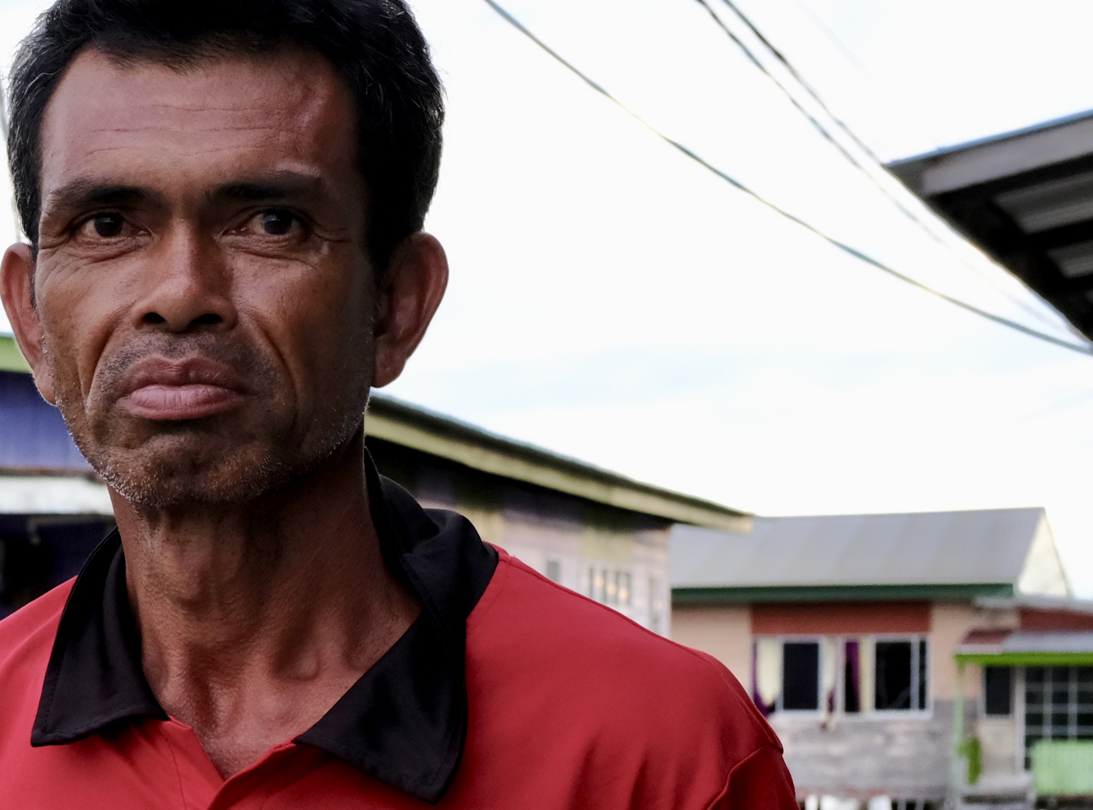
Omar, 45 has been living all his life in Kampong Ayer. He is worried that with the Government’s plan to demolish stage by stage the water settlement his livelihood, heritage and memories will be lost forever.
Unlike other cities built with oil money such as Qatar, Baku and Astana with their crass consumerism and future-pretending architecture, Bandar Seri Begawan surprises many new visitors with its shabby low-rise, down-to-earth and retro seventies appearance, attitude and ambience.
The city lies along the waters of the Brunei River which spouts from its mouth into a sheltered inlet that opens out to the South China Sea. With about 200,000 people living in its urban precinct and the nearby district of Muara, Bandar Seri Begawan passes off easily as a large town in neighbouring Malaysia except here the streets are free from rubbish, the trees are taller and cars reliably stop for pedestrians at zebra crossings.
Eating and getting around is quite easy and cheap. Mini buses ply between stops around the city on 20 to 30 minutes interval charging a normal fare of B$1.00 each trip including the route that stops at the international airport 6.5 km from downtown Bandar.
For these reasons and more I like Brunei.
After decades of free spending and easy money from oil, the country’s economy is now not in such a good shape. Income has risen this year with better oil prices but high expenses and spending on its largely unproductive citizens bears Brunei down
Joining his friends for futsal, Kampong Ayer
A young stall assistant catching an afternoon nap in the lazy heat
This Kampong Ayer resident and retired school teacher laments that the Government is not doing enough to promote tourism
Chinese make up about 10% of Brunei’s population. Despite being born in Brunei or having parents or family who have been residing there for generations, about 85% are still not given citizenship. Bruneian Chinese as non-citizens cannot get passport. They must travel overseas with a confusing document called an “International Certificate of Identity” and apply each time for a visa to visit West Malaysia but not Singapore which allow them entry without visa.
Proclaimed by the present Sultan Hassanal Bolkiah on the day of independence from British rule on 1 January 1984, the ideology of Melayu Islam Beraja or Islamic Malay Kingliness permeates all aspects of Brunei life
Despite complaints about limited freedom and lifestyle choices, Brunei is often praised as a great place for spending quality time with your loved ones
Brunei has a growing unemployment problem. In 2017 the number of people without work stands at 7.1%
All photographs and text copyright Kerk Boon Leng October 2018
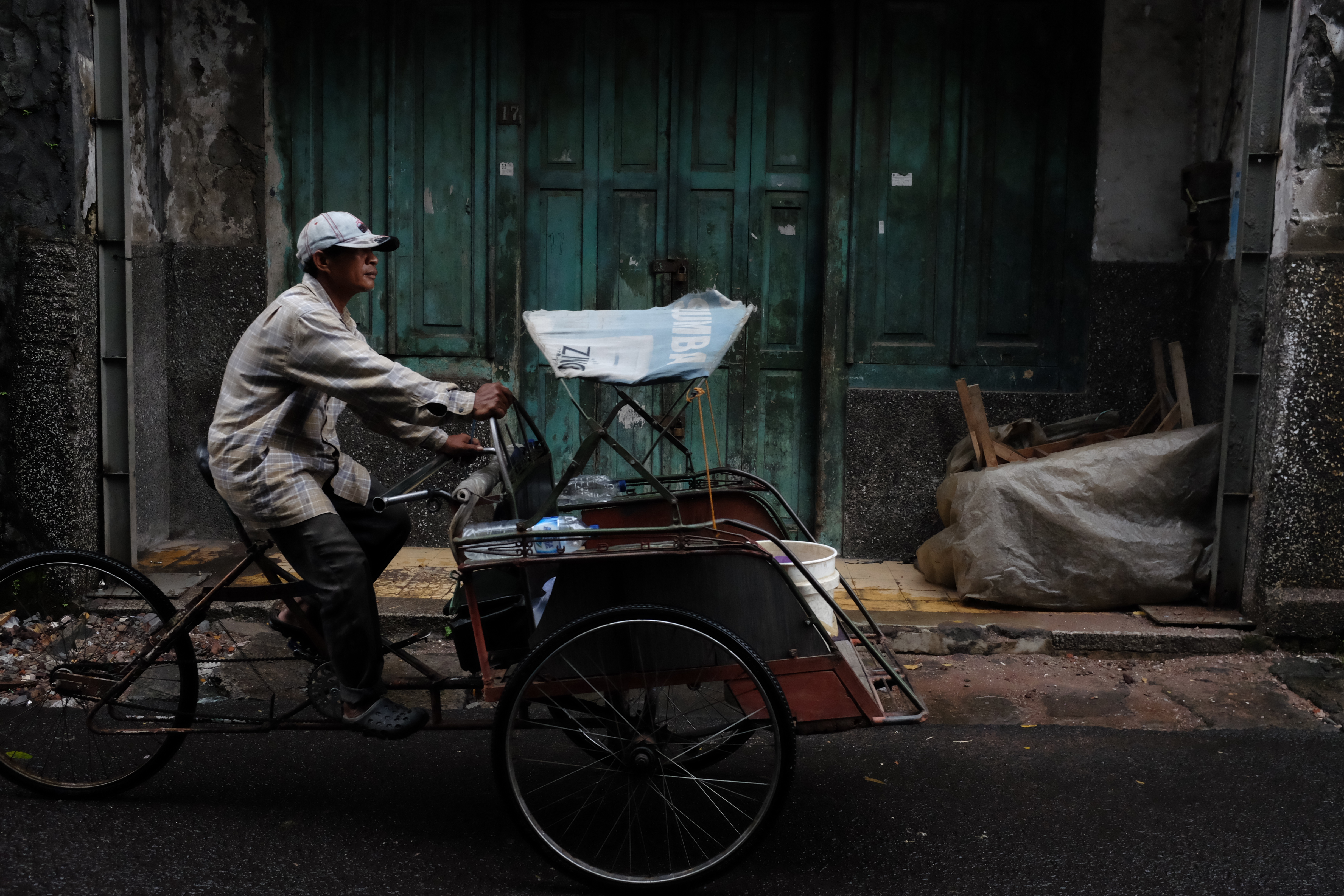
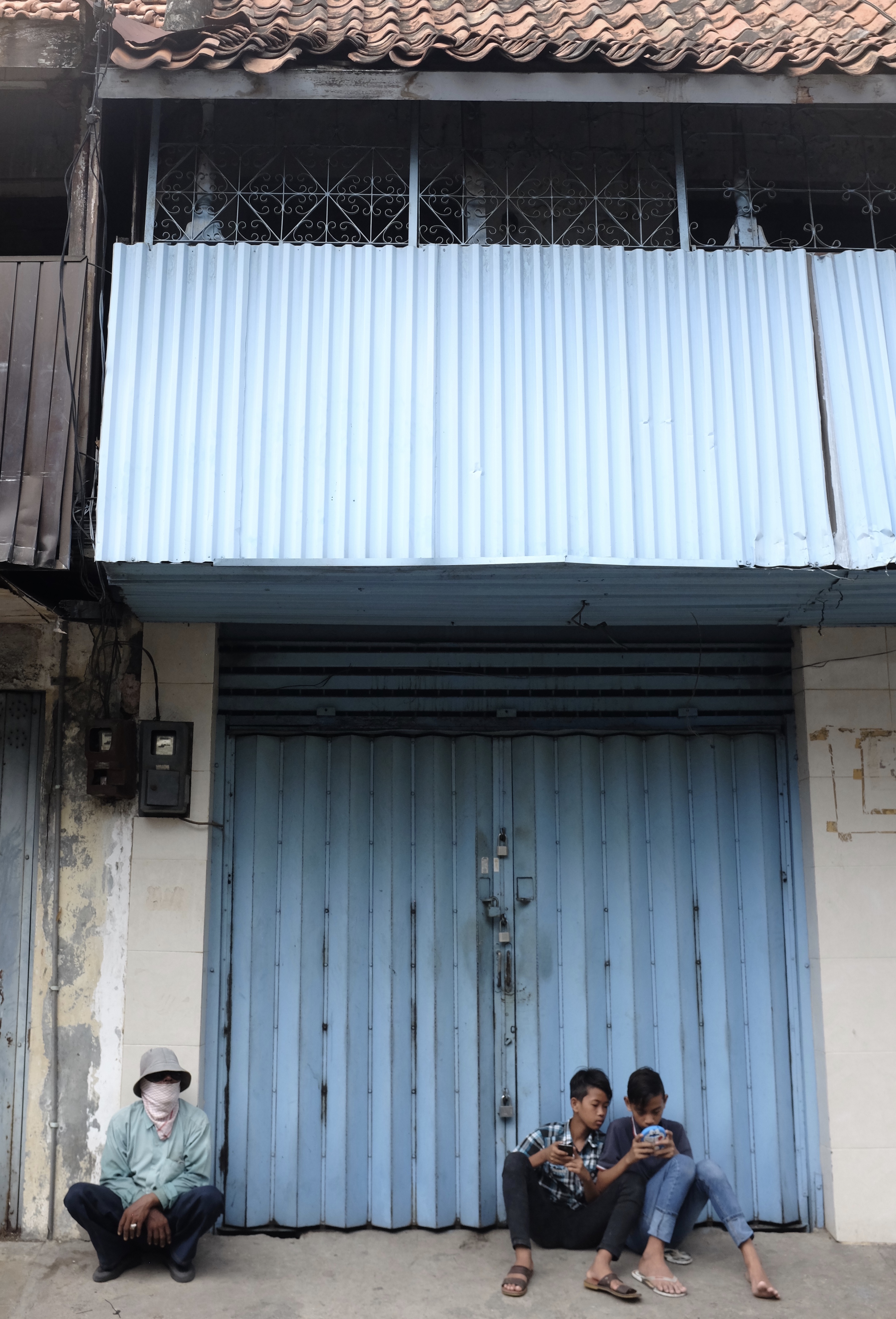
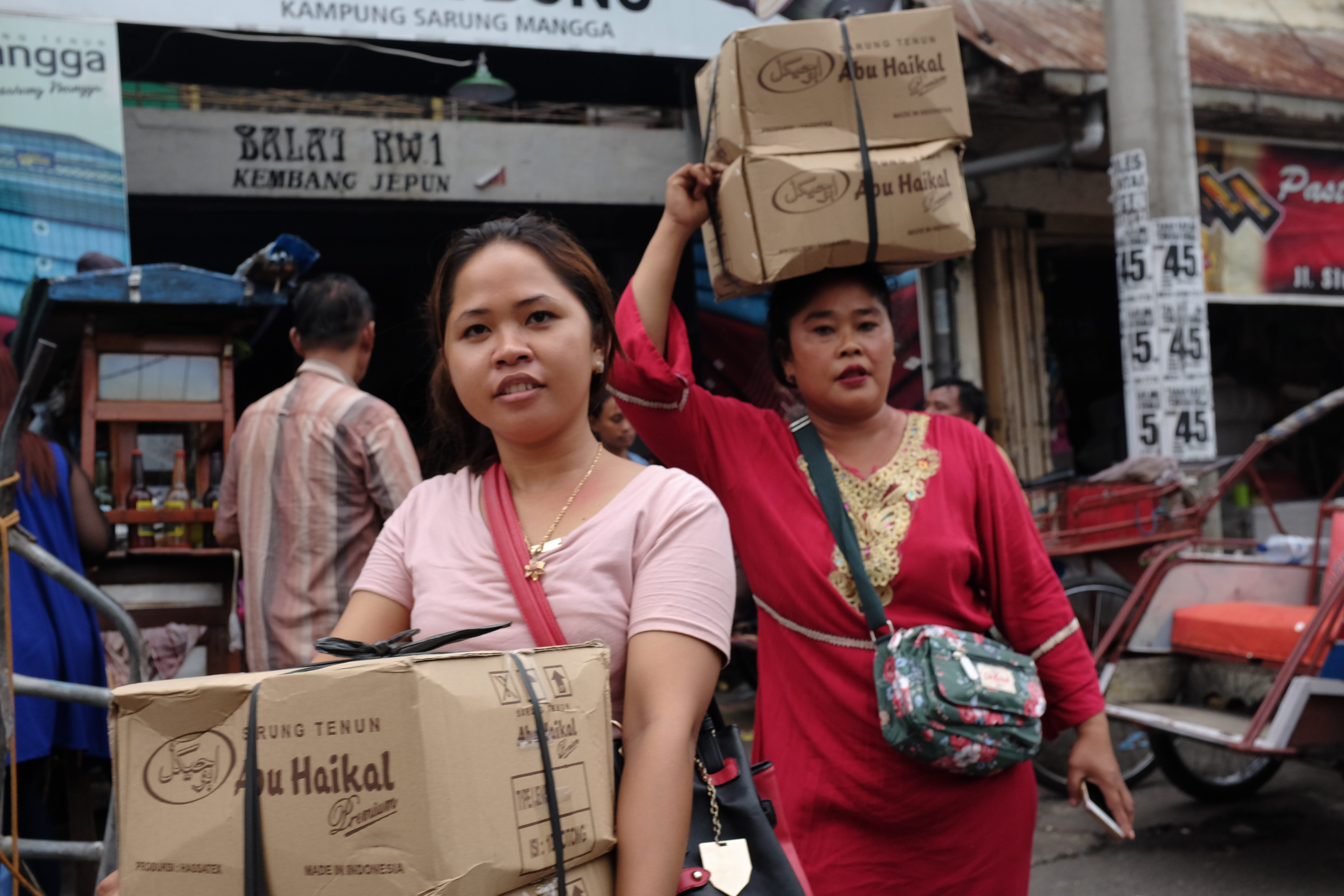
Honestly, it is hard to think of a city in the world with a name as sweet-sounding and redolent of a tropical bygone era as Surabaya.
But the origin of the name Surabaya that hints strongly at the bestial instincts of struggle and survival is not quite so romantic. The name, it is said, comes from two words in the local Javanese language. ‘Sura’, meaning a big shark-like fish and ‘boya’, meaning crocodile.
Surabaya is situated on the northeastern coast of Java along a narrow straits facing the island of Madura.
Kali Mas (Golden River) which is a branch of the Brantas River flows through the centre of Surabaya from south to north. Chosen for its location, on the busy sea lanes linking multifarious waypoints in the world’s largest archipelago that is Indonesia, Surabaya has always served as a port.
Surabaya’s seagoing connection goes back more than 600 years when Java was ruled by the mighty Majapahit kings.
Around 1800, about two hundred years after the arrival of their first ships, the Dutch finally gained control of Java. They conquered Java by cunningly playing the island’s local muslim rulers off against each other and destroying those who dared to stand in their way.
True to form, the Dutch in the Age of Imperialism, were cold-hearted, efficient and bent-on-profit administrators. They cared little for the lives (much less the livelihoods) of the Javanese peasants, chieftains and noblemen over whom they governed.
Through a colonial policy introduced in 1830 known as Cultuurstelsel or Cultivation System the Dutch compelled their Javanese subjects to plant commercial crops like indigo, coffee and sugar instead of rice. Such export orientated policy brought huge profits to the colonial government, as well as to their middlemen and merchants but led to widespread misery, starvation and sickness among the population living in the coastal and central regions of Java.
Indonesia was then called ‘Hindia Belanda’ or the Dutch East Indies and Surabaya grew to become its foremost city and most important port. But by the time of the economic depression of the 1930s Surabaya’s fortune was on its way down and its position as main city had been overtaken by Jakarta (then Batavia)
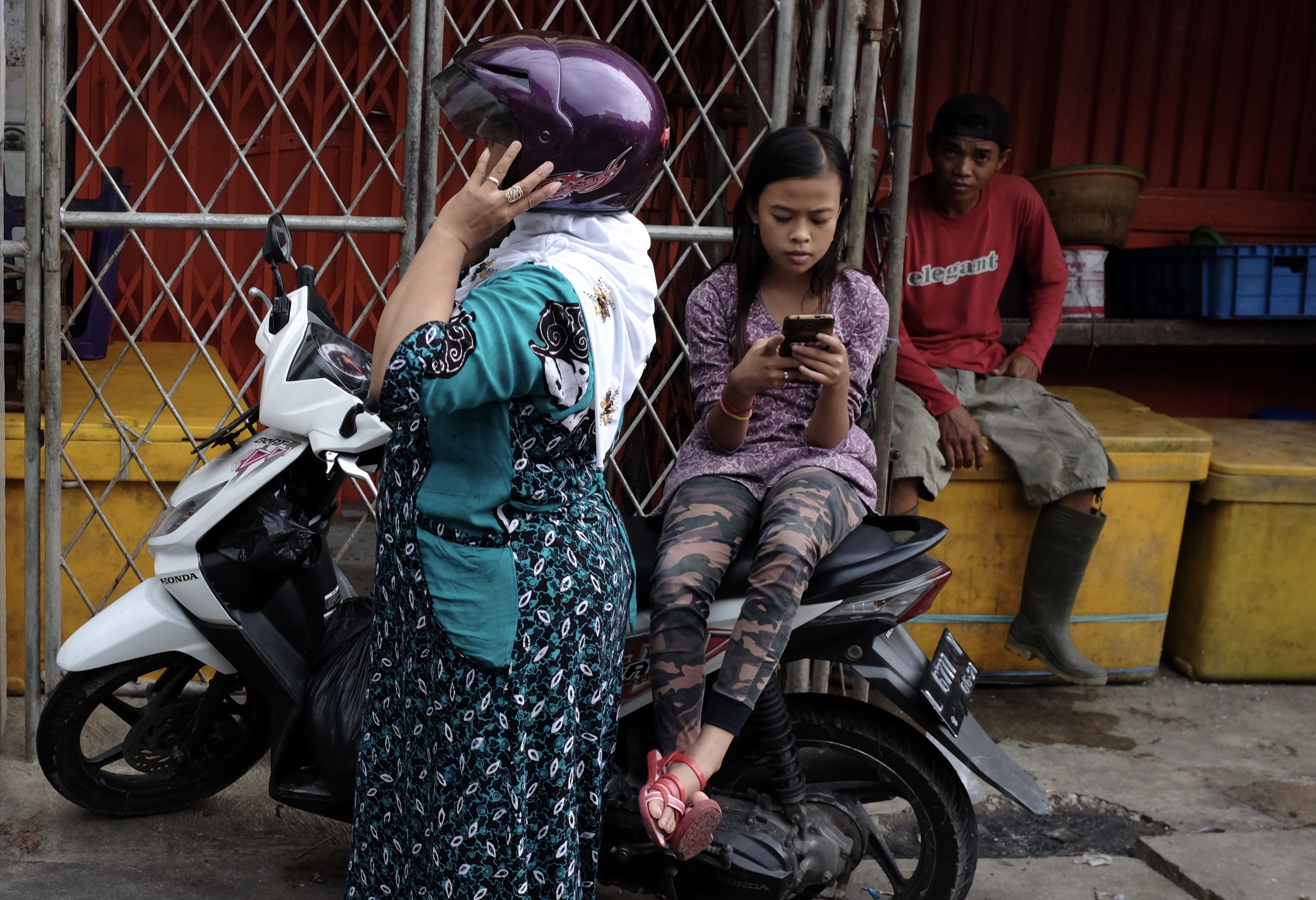
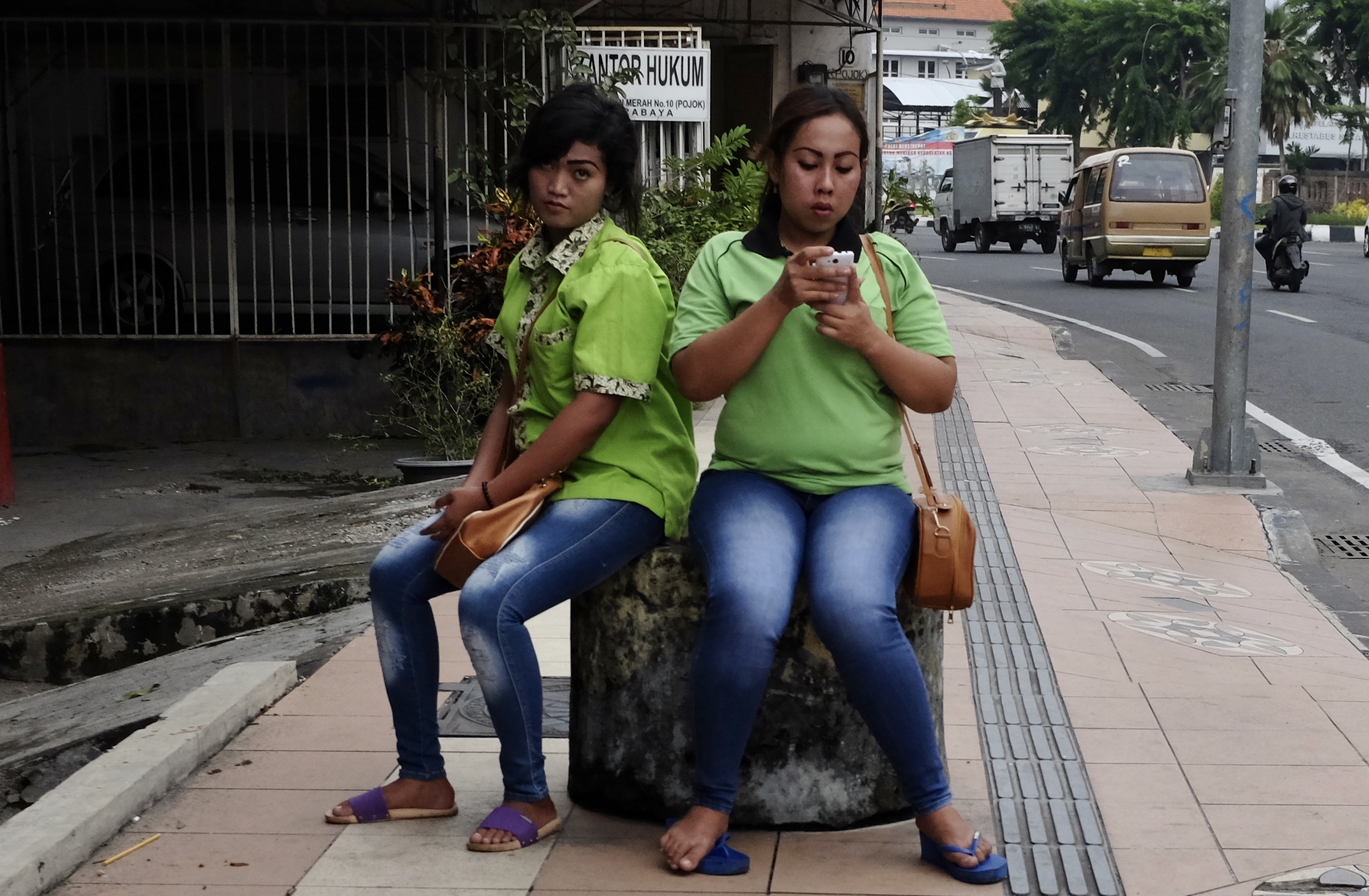
Surabaya is still today Indonesia’s second biggest city, a vibrant centre of commerce, industry and an important travel hub. Many travellers fly into Surabaya to get to somewhere else. Some of them may choose to stay a night to take in a handful of sights but Surabaya is really not yet a traveller hotspot especially for texting teenagers or tourists chasing big-ticket attractions.
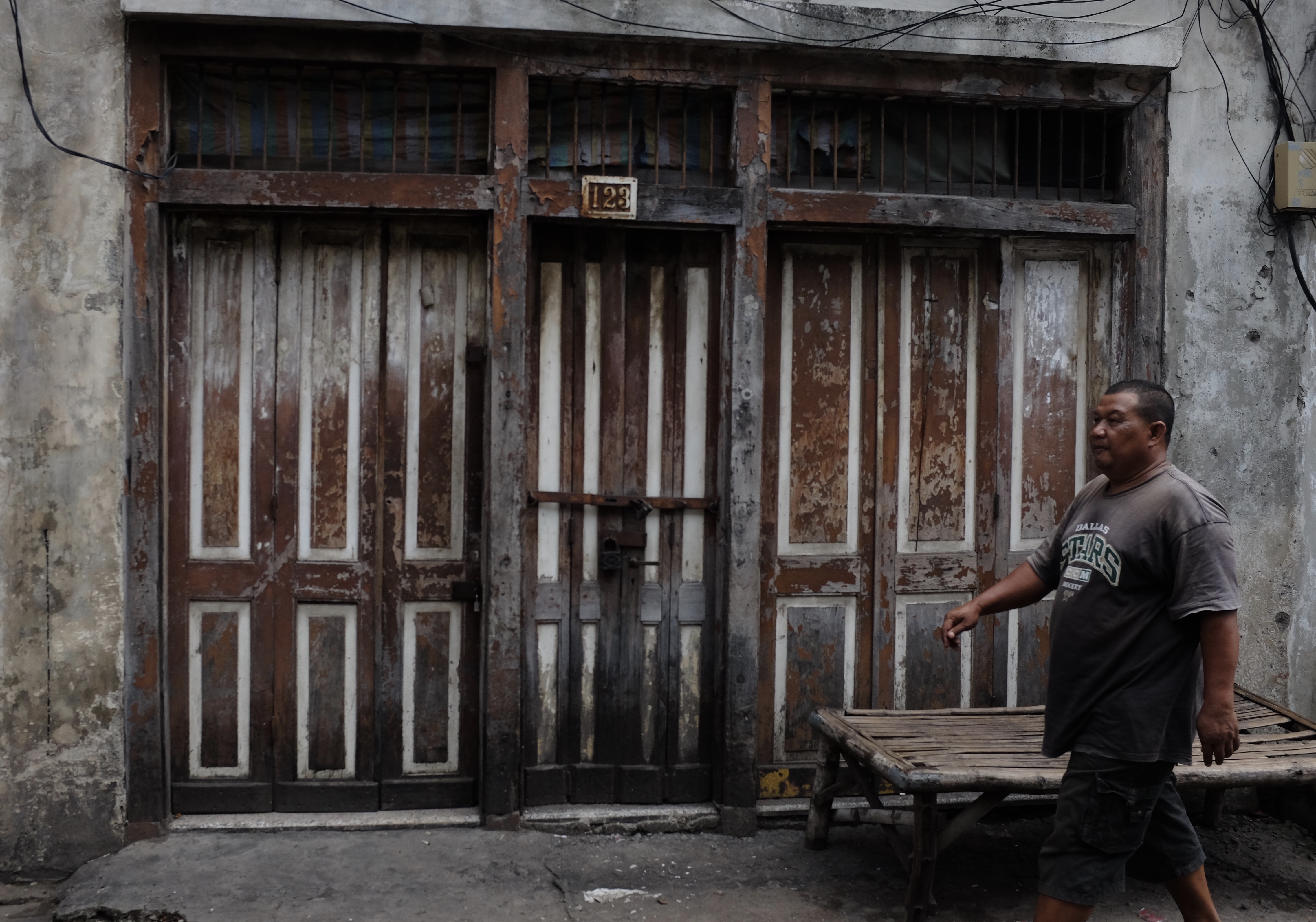
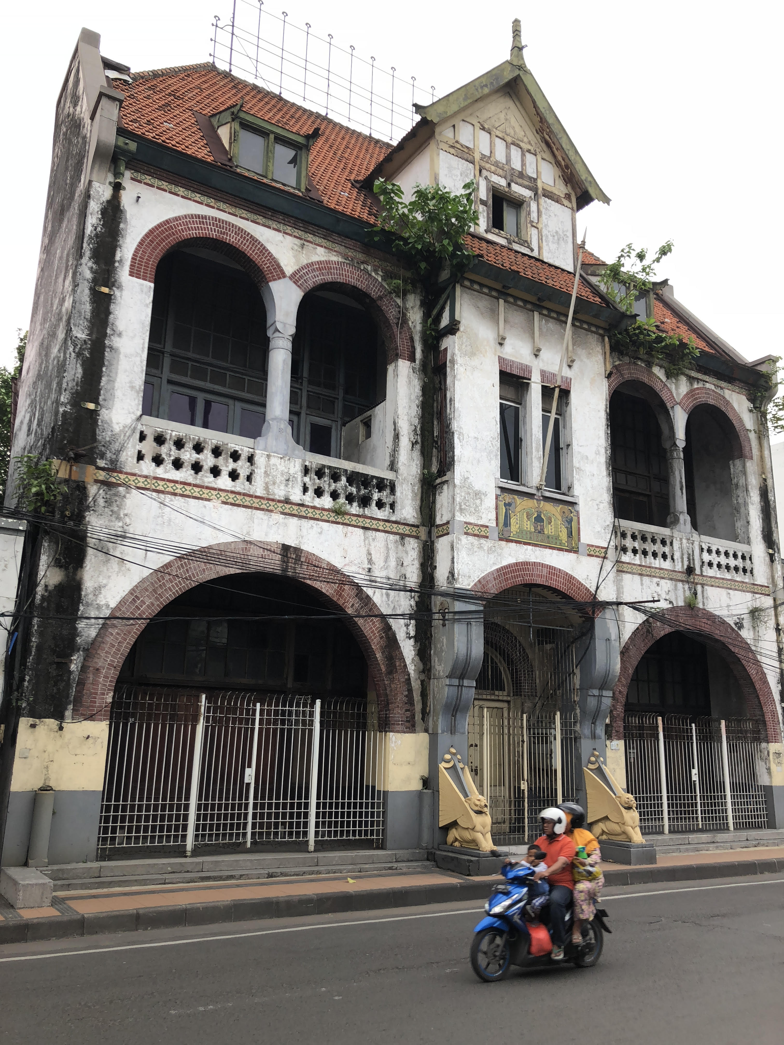
For visitors looking for vestiges of the Dutch East Indies in the delapidated doorways and grunge-covered gables of a nineteenth century colonial city separated into European, Chinese, Arab and native quarters, the old city of Surabaya is an absorbing place. It is also a veritable walk-through history book and street photographers’ delight.
Surabaya’s old city near Jembatan Merah or Red Bridge looking even more atmospheric after an afternoon thunderstorm
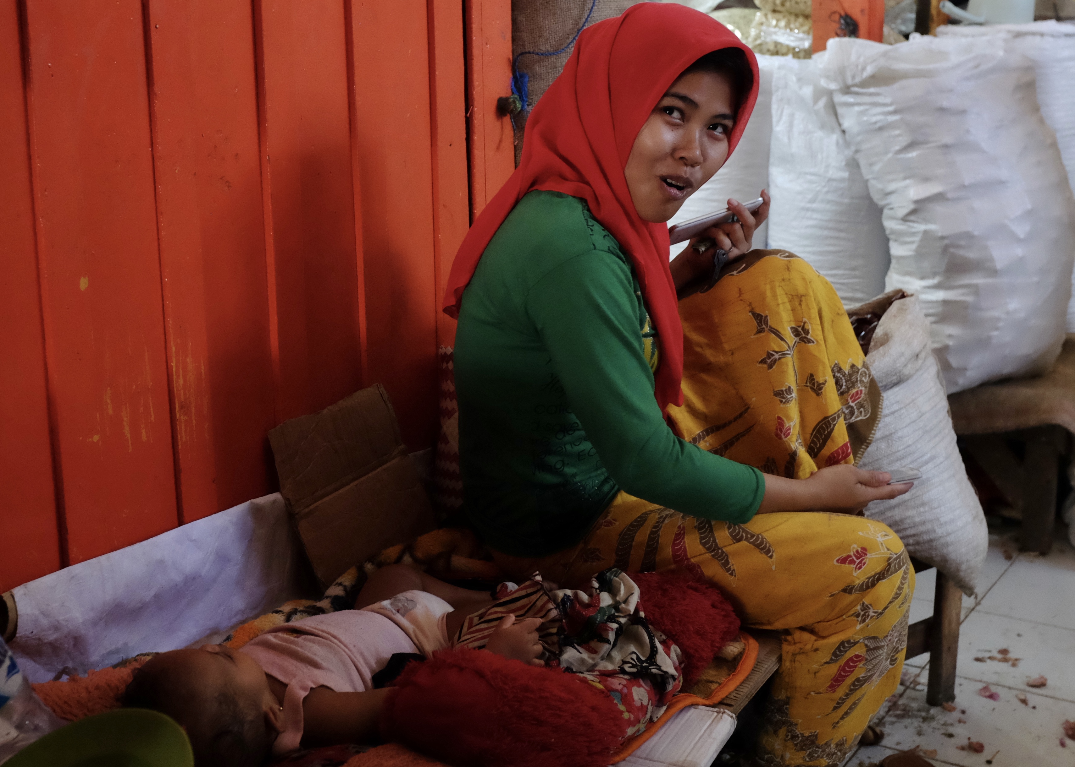
Young mother with napping baby at the Pabean market
‘What is your profession?’ he enquired before showing me the way to the Red Bridge behind the shop passing dried seafood stalls, sniffing rodents and smiling shopkeepers
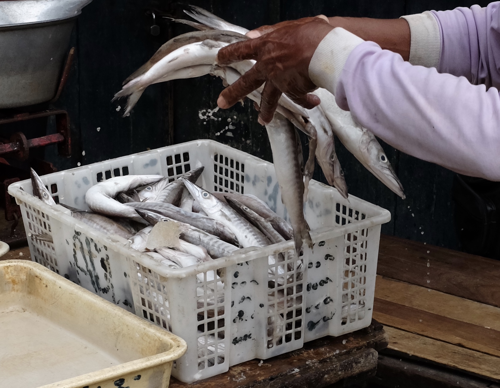
Fresh fish arriving at the Pabean market around lunch time
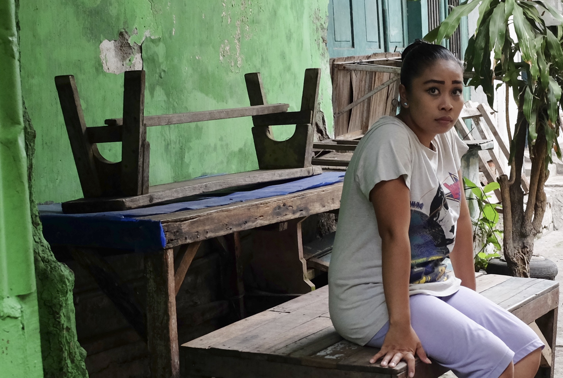
Some of the young friends I made in Surabaya
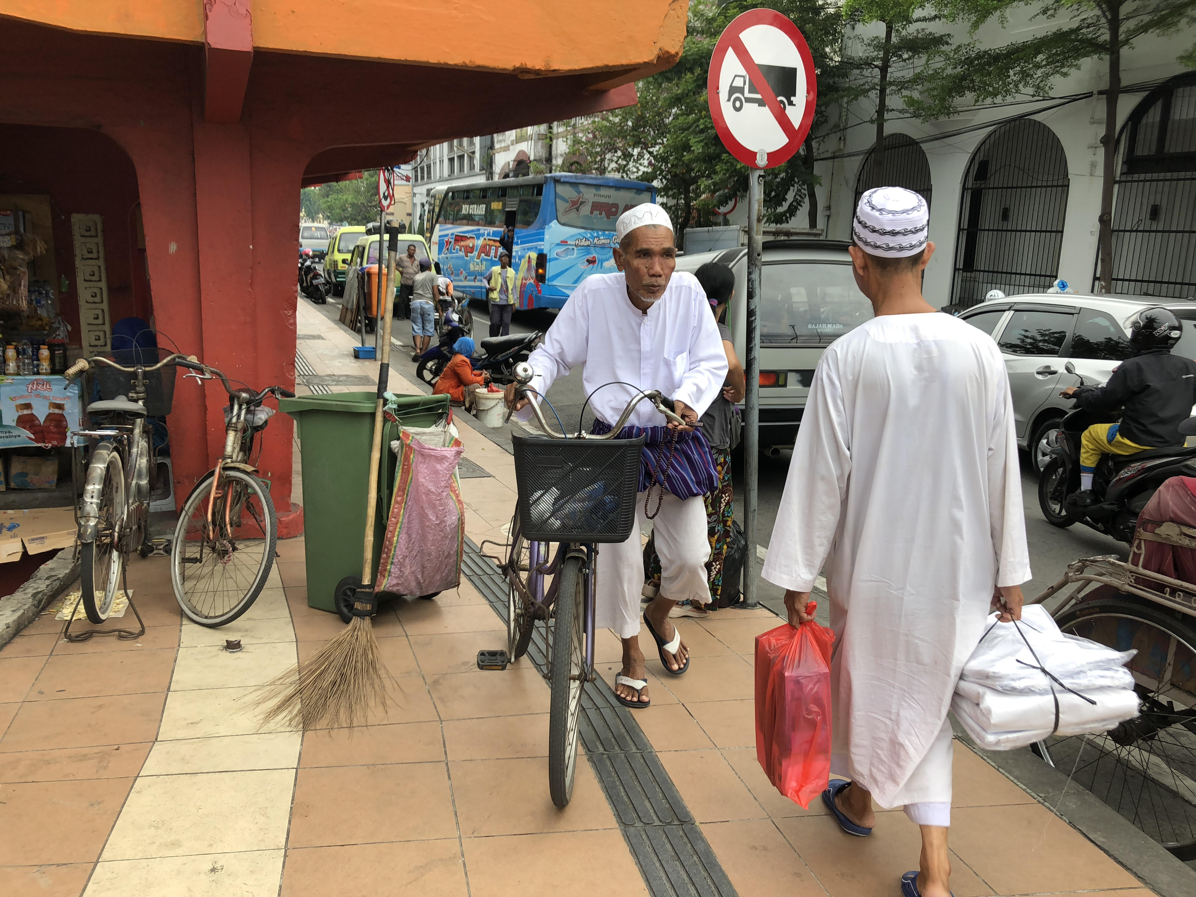
Afternoon pilgrims walking to the tomb of Sunan Ampel one of the nine saints or Wali Songo credited with spreading Islam to Java
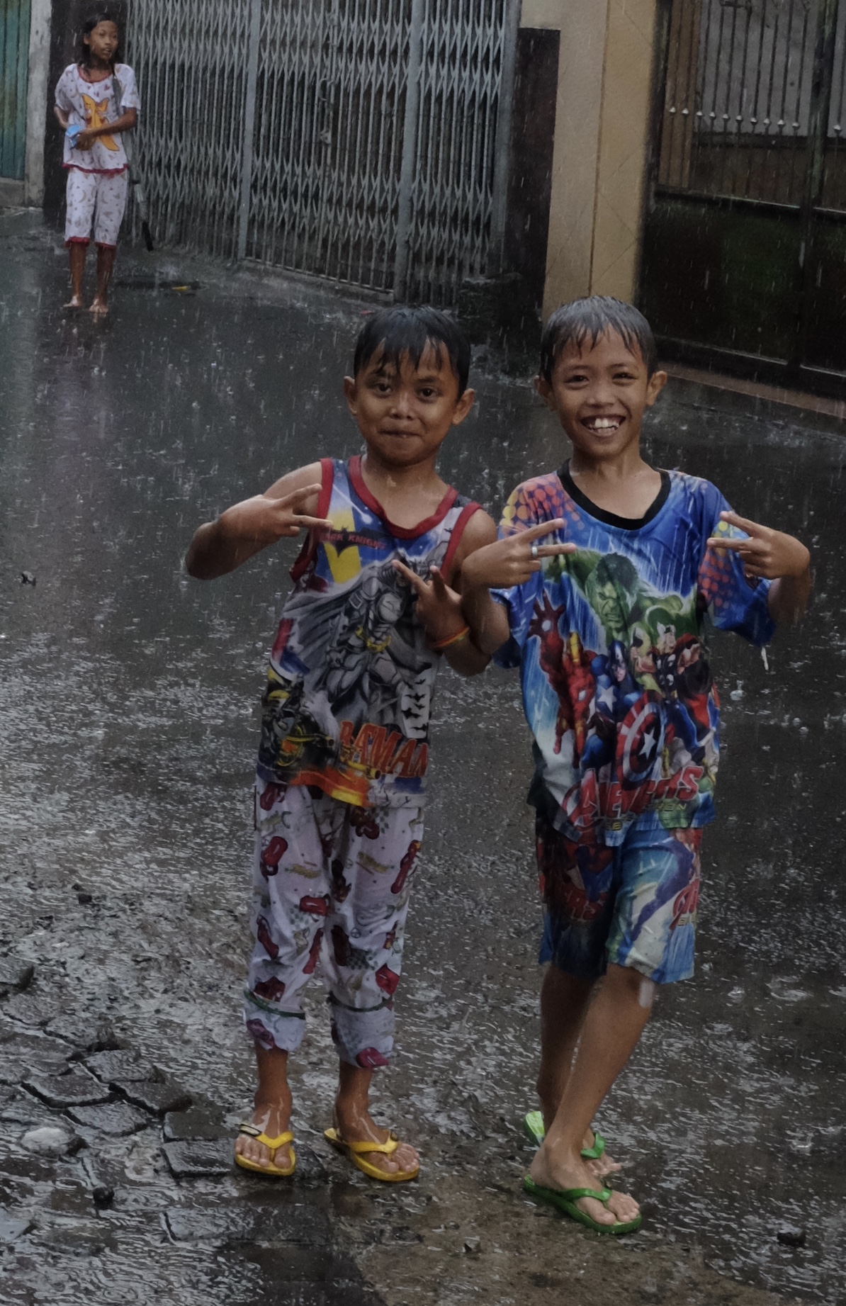
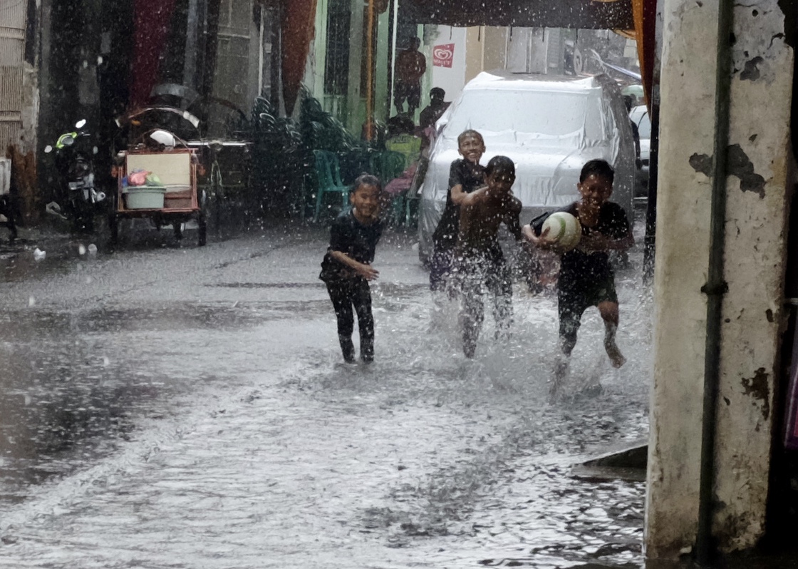
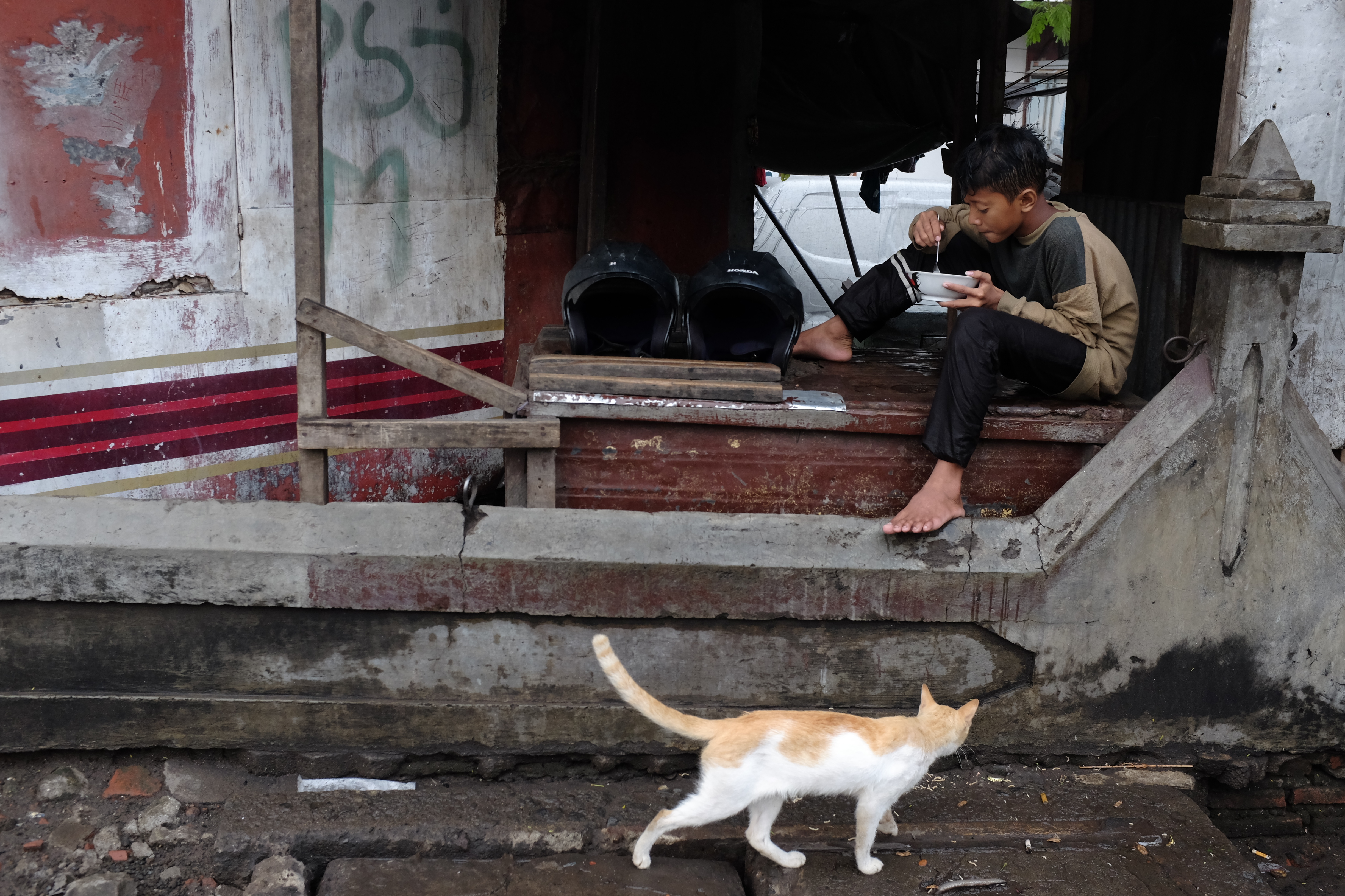
Young superheroes in the rain
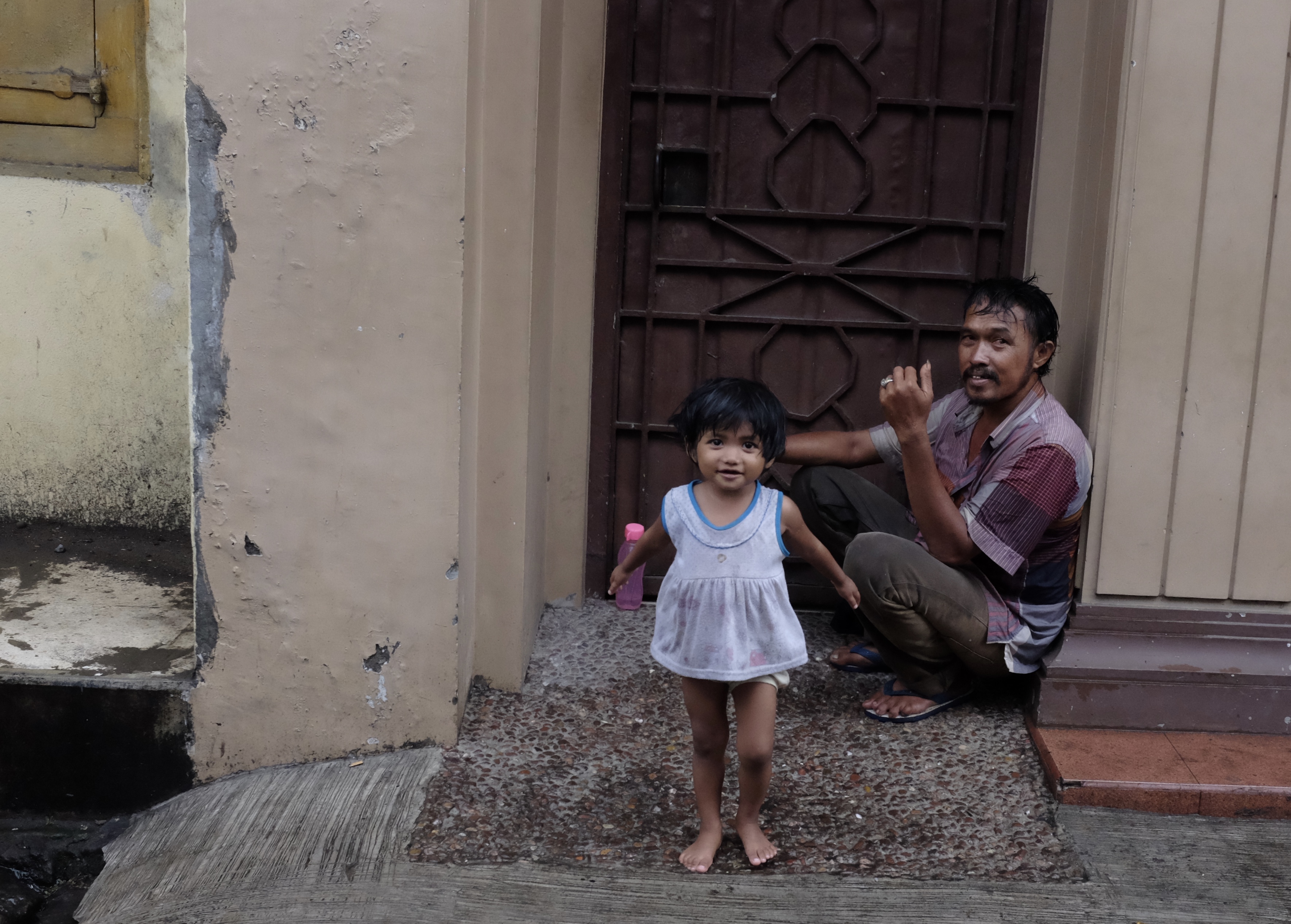
A father and daughter moment while waiting for the rain to stop
“It is difficult to find a job here” Ahmad is a fruit seller near the Ampel Market
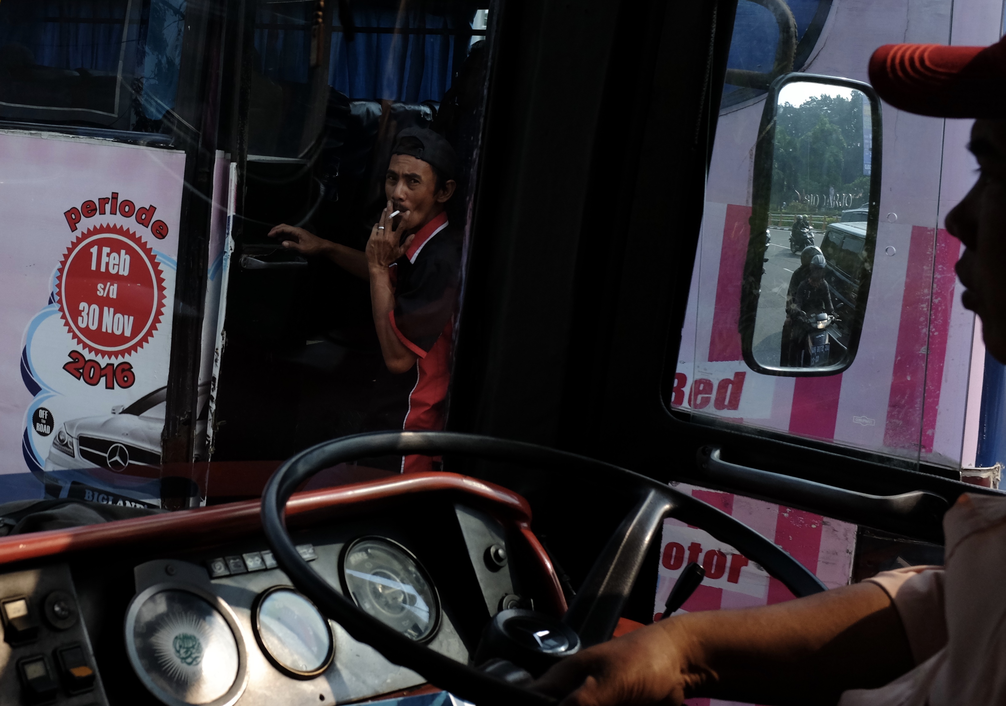
Smoking bus conductor seen from my coach bound for the neighbouring Island of Madura
“What will you promise me if I pose for you?”
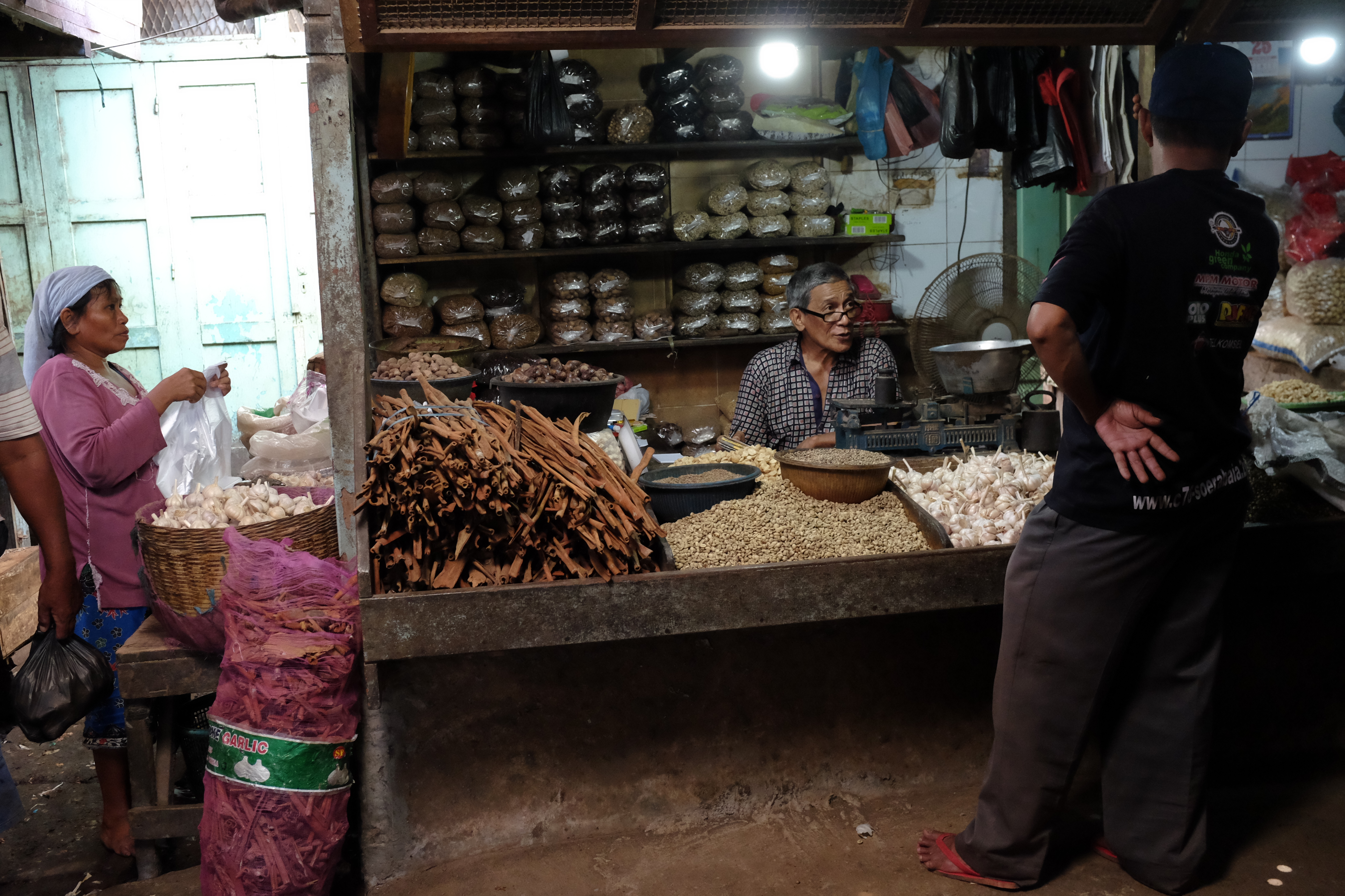
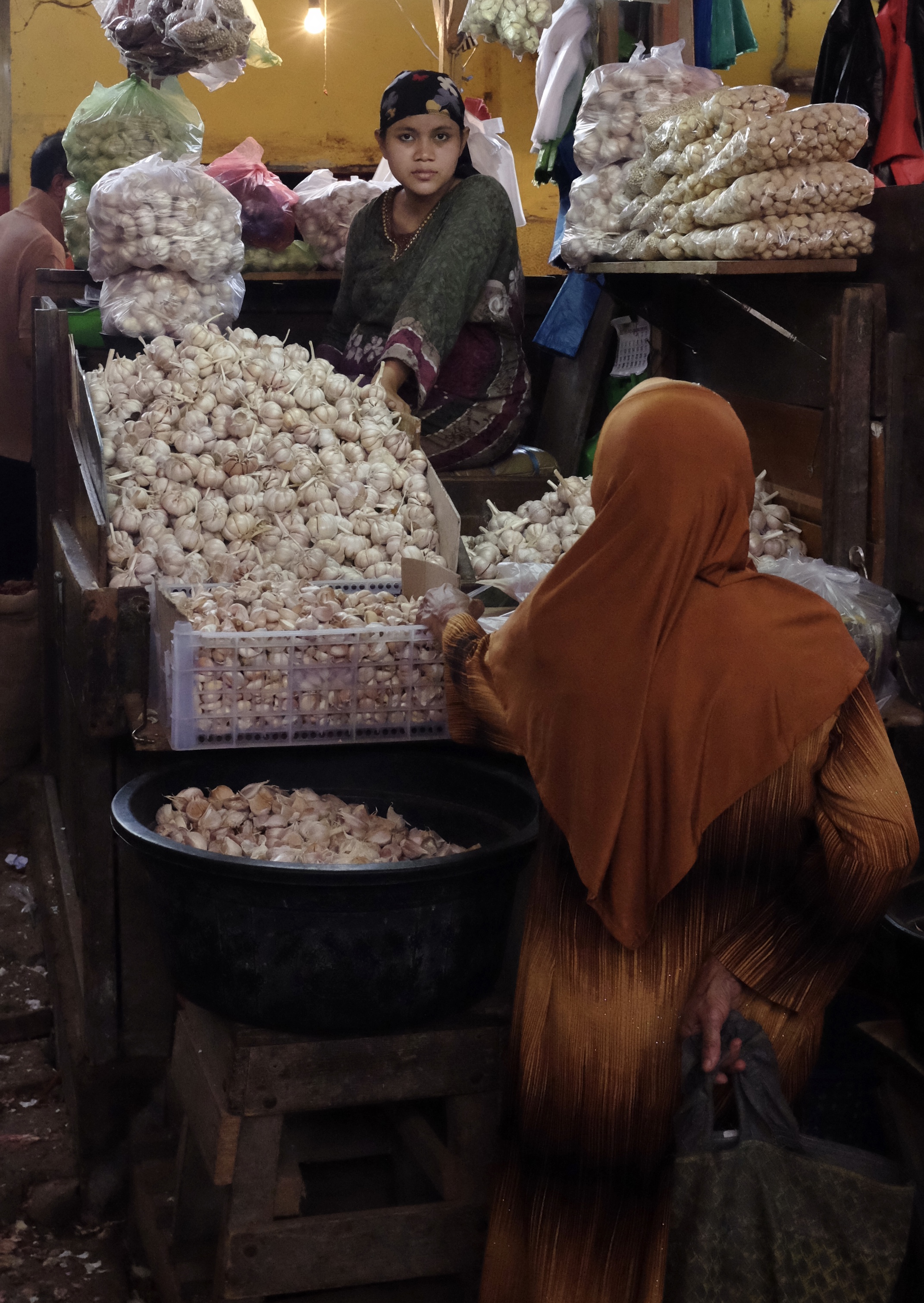
Built in 1918 Pasar Pabean is the oldest and perhaps also the biggest market in Surabaya
Sanaa in Surabaya
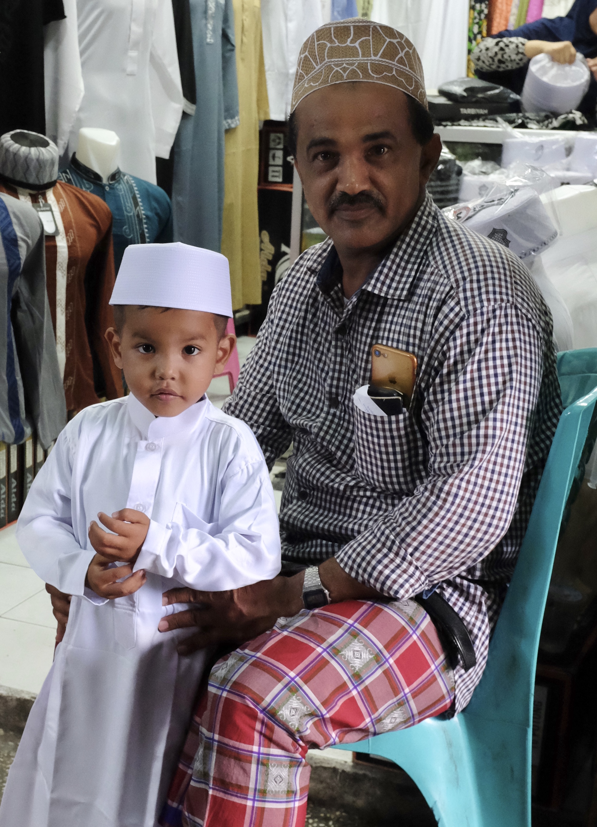
A proud father and his newly attired son at the Ampel Market
The population of metropolitan Surabaya which includes the neighbouring boroughs of Gresik and Sidoarjo is over 8 million making it the second largest urban area in Indonesia
Shop front on the historic Jalan Panggung in Old Town Surabaya
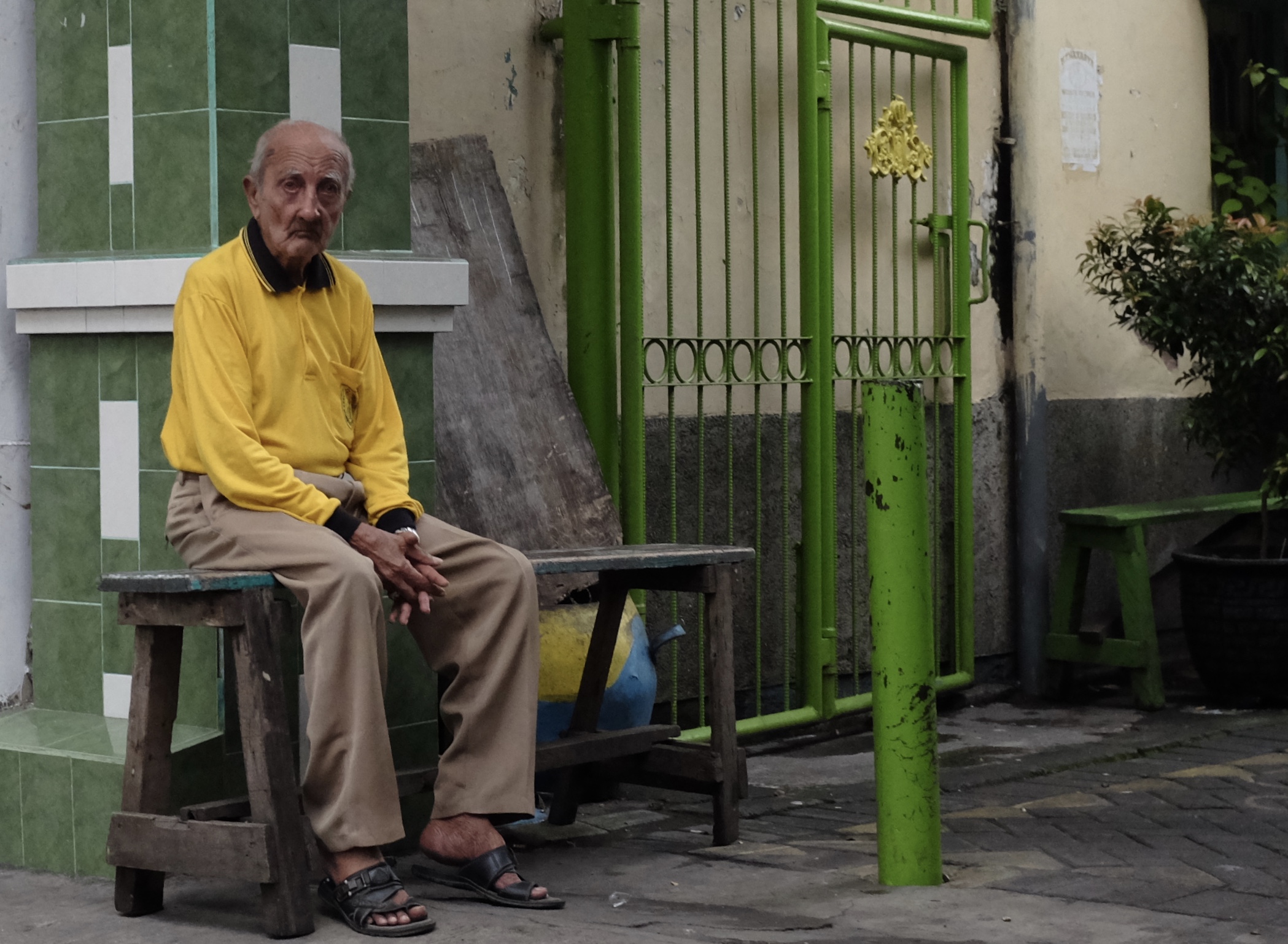
Unique among Indonesian cities, Surabaya was a multicultural place. In 1905 of the total population of 150,200 people, there were 15,000 Chinese, 8,000 European and almost 3,000 Arabs.
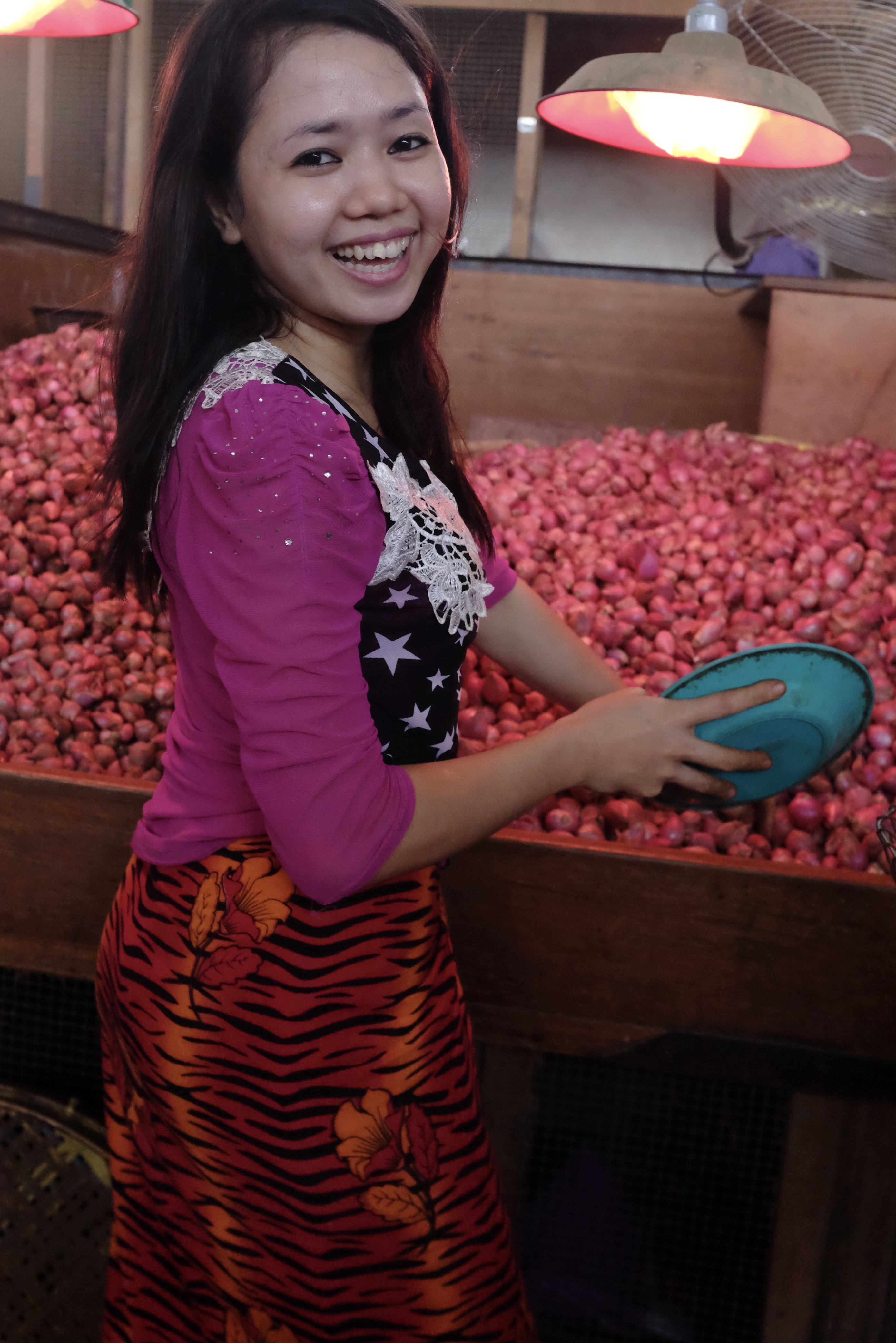
Garlic galore at the Pabean Market in Old Surabaya
All text and photographs copyright Kerk Boon Leng April 2018