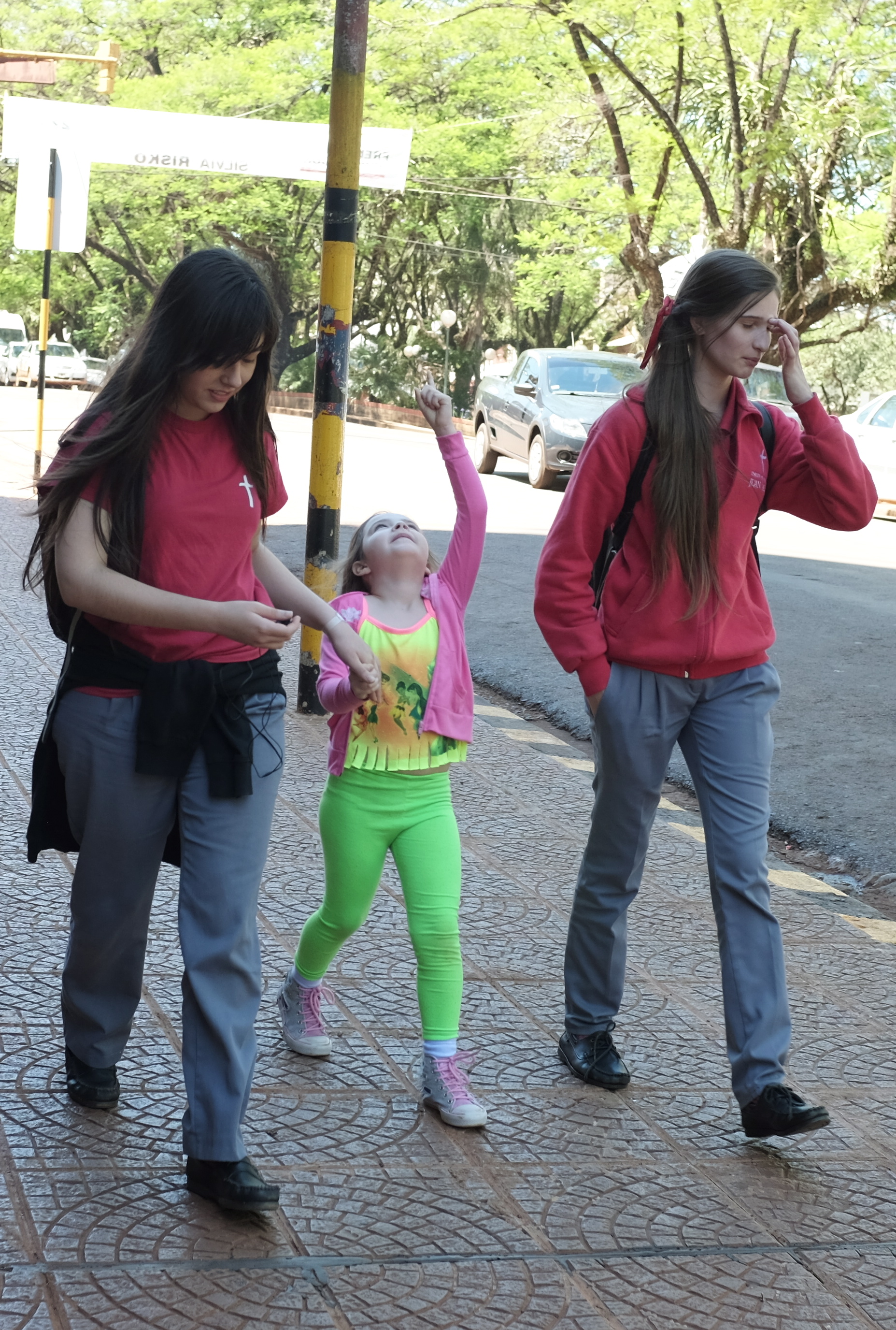
Posadas is a city of around 350,000 people and serves as the administrative capital for the northeastern Argentinian province of Misiones. It sits beside the Parana River and is linked to Paraguay by a bridge to a town called Encarnacion on the other side. There isn’t much to see in Posadas. It looks like the kind of place you would move to at a point in life when you need to play detox catch up with your mind and body after years of bad air, food and views. It is wonderful to watch from the car window each evening when we arrive back from upcountry many young and attractive people either jogging on the nicely paved and brightly lit riverside esplanade or sitting around sidewalk cafes for coffee and a meal. The highways into and out of the city are wide, empty and newly constructed giving the place an air of quiet prosperity and purpose. The city seems to be there mainly to serve as a hub for the agricultural and forested hinterland as we saw almost no heavy industry. With green surroundings and slight elevation at 350 feet above sea level, the climate of Posadas is subtropical and pleasant although locals have told us that 40 degrees heat in the January summer is common.
The lights lingered for a last display of luminance as we were leaving Panambi
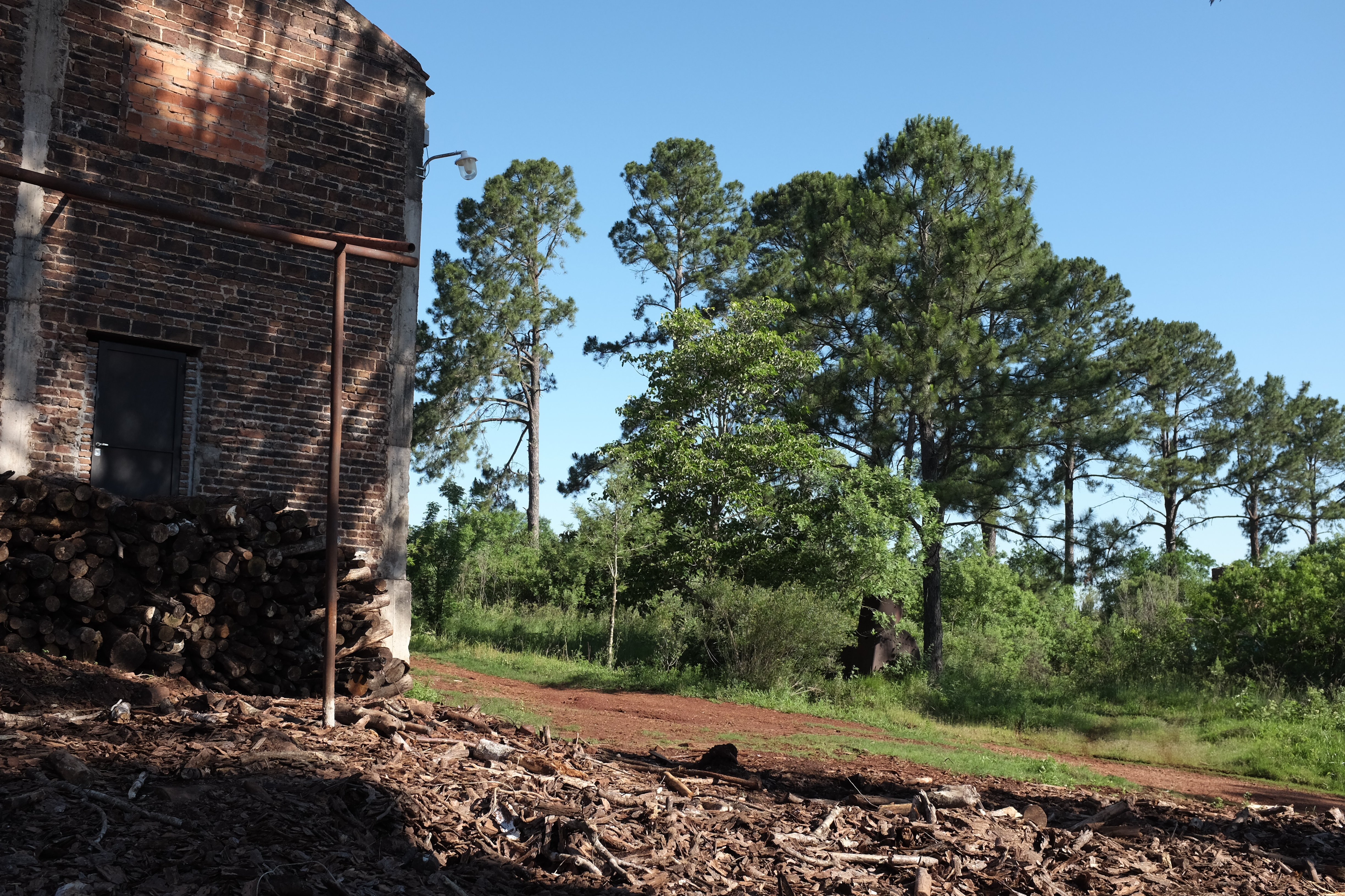
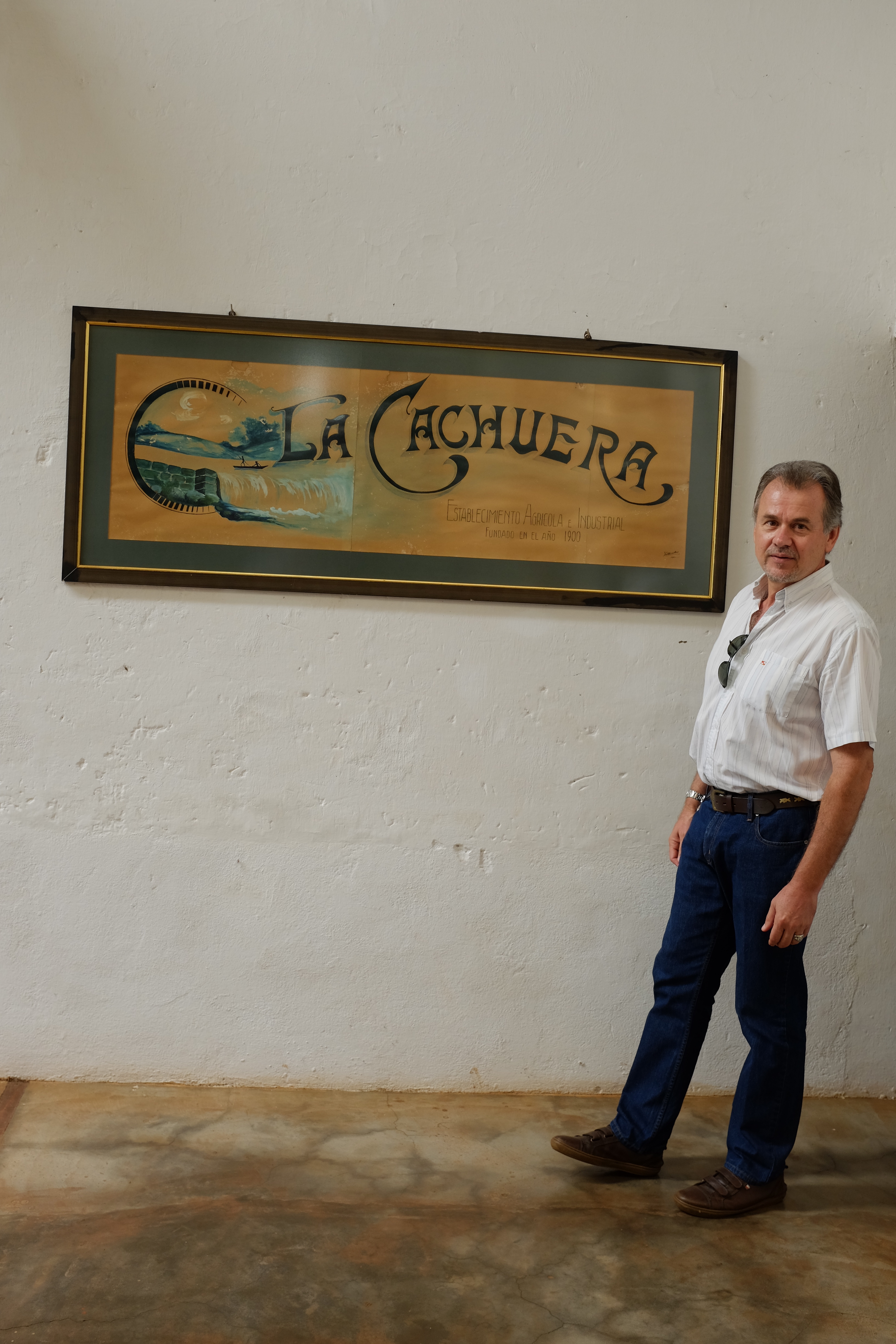
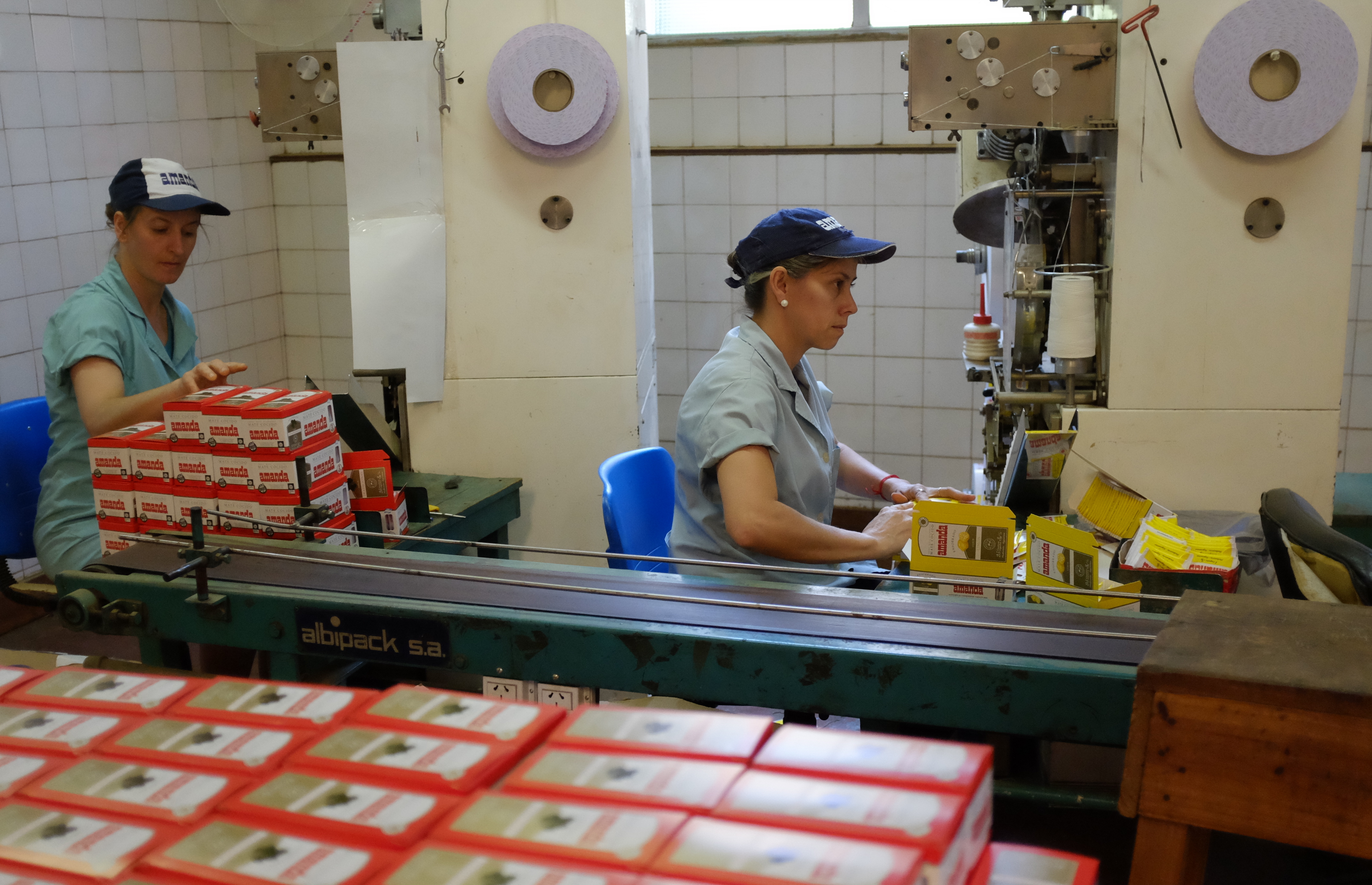
Our hosts Miguel Gonzalez and Maria Duarte with the rest of their companeros from la Cooperativa Agricola Rio Parana Limitada or Titrayju (spanish acronym for “land, work and justice”) as they prefer to be called, drove us in a two vehicle convoy to their yerba mate factory near the tiny remote village of Panambi east of Obera and a hop away from Brazil. It is a place you won’t find easily on a map but I saw the place signage so I know that’s the name of the place we visited.
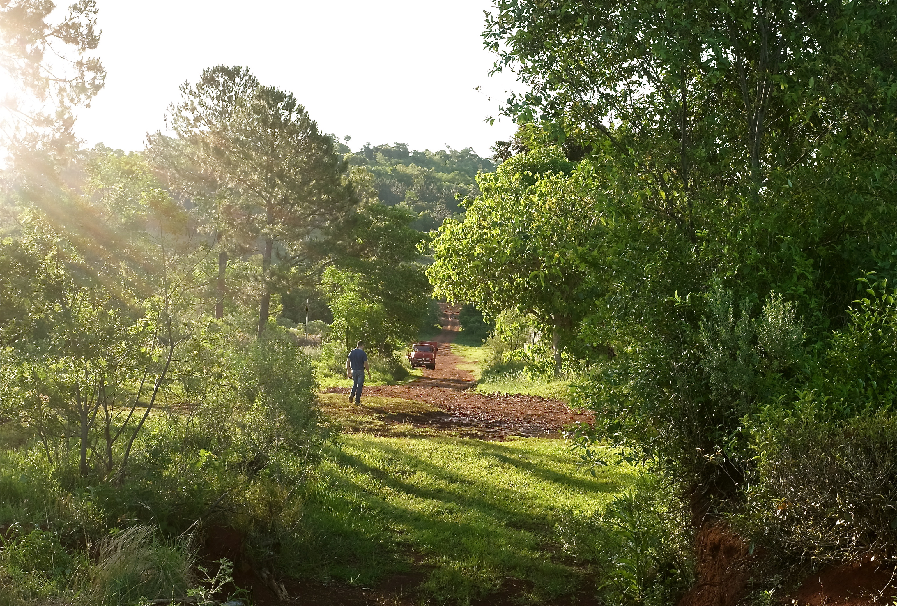
When we arrived an almost centenarian European looking gentleman with ruddy face walked across the road to welcome us. He was accompanied by a younger person wearing a worker’s beret who could be his grandson or even great-grandson. He shook everybody’s hand and guffawed infectiously as I looked on and snapped away at the jaw-dropping view in front of us. The sun shone through the clouds giving clean soft lights to the trees and fields beyond. It was a picture perfect moment of taoist significance. Of longevity and laughter in a fecund landscape.
Argentines call this region ” la Mesopotamia” ( Greek for ” land between rivers”) because two of South America’s great rivers, the Parana and Uruguay, flow here flanking its boundaries before draining into the Rio de la Plata. Three provinces make up this region. The northern-most and smallest is Misiones. Here Argentina, the world’s 8th largest country, is reduced to a thumb-shaped land the size of Belgium squeezed between Paraguay and Brazil.
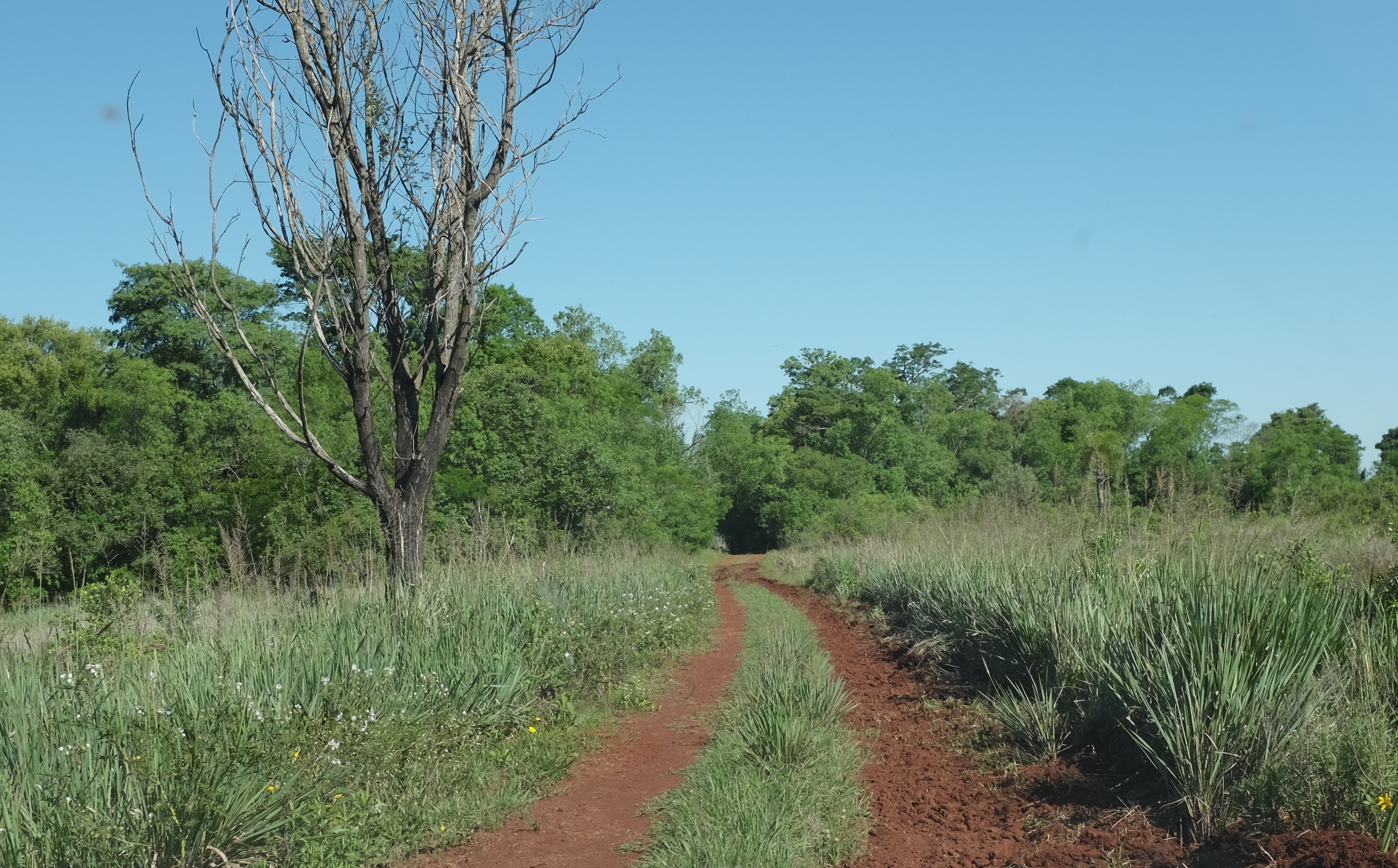
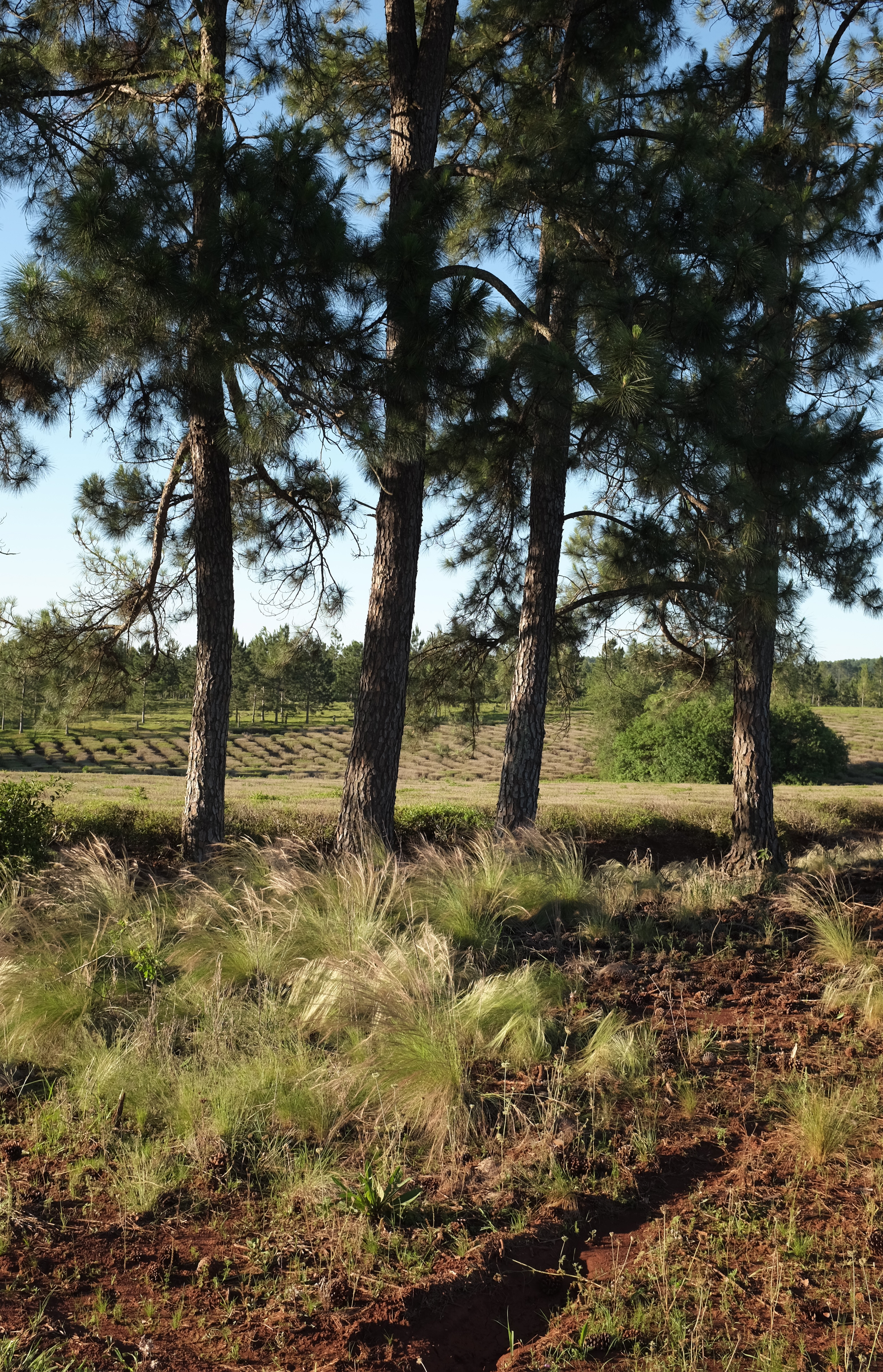
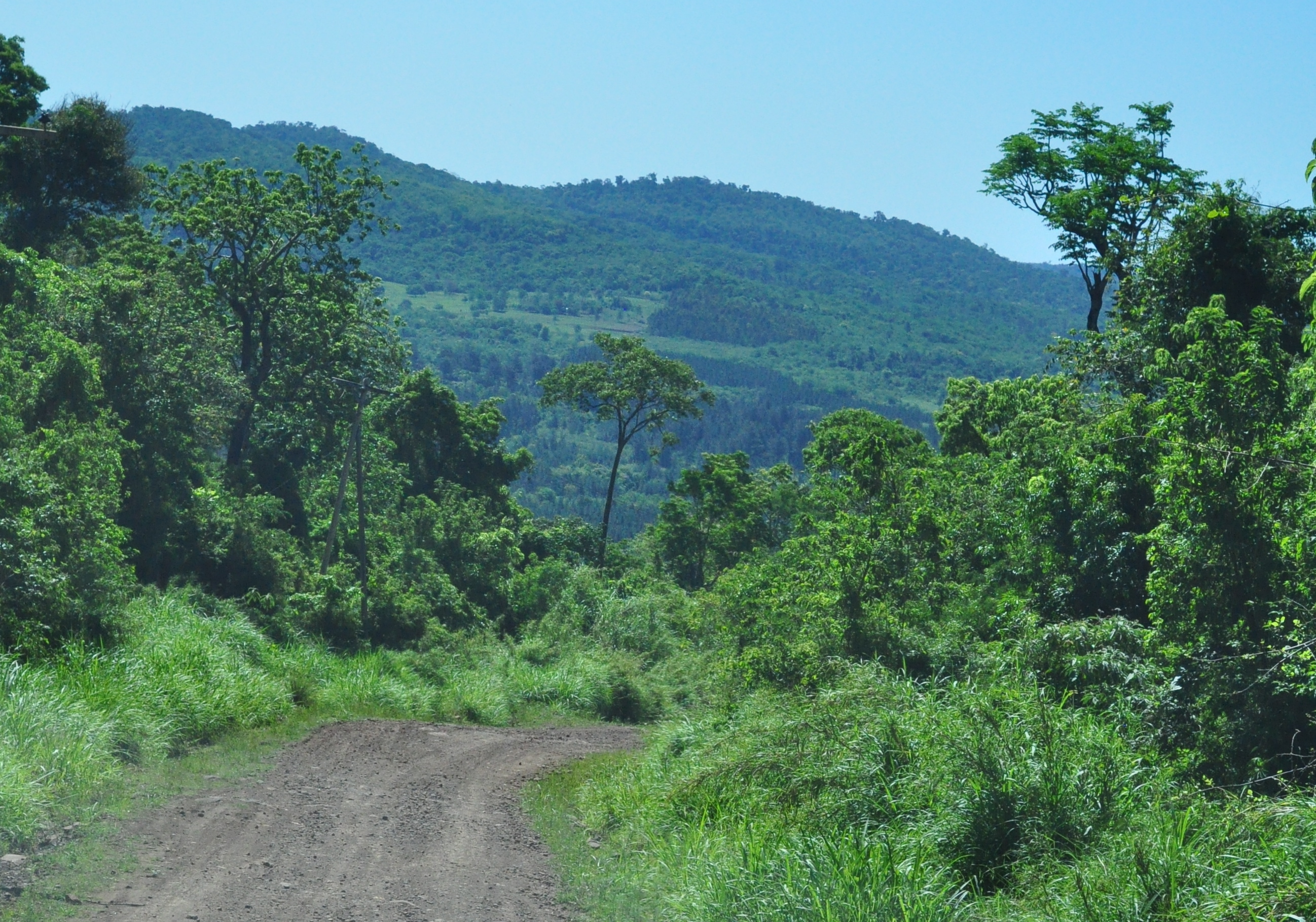
To local people, Misiones is la tierra colorada– a subtropical arcadia of red nutrient rich soil supporting an eclectic flora of rainforest trees, exotic pines, tea and the province’s principal cash crop, yerba mate.
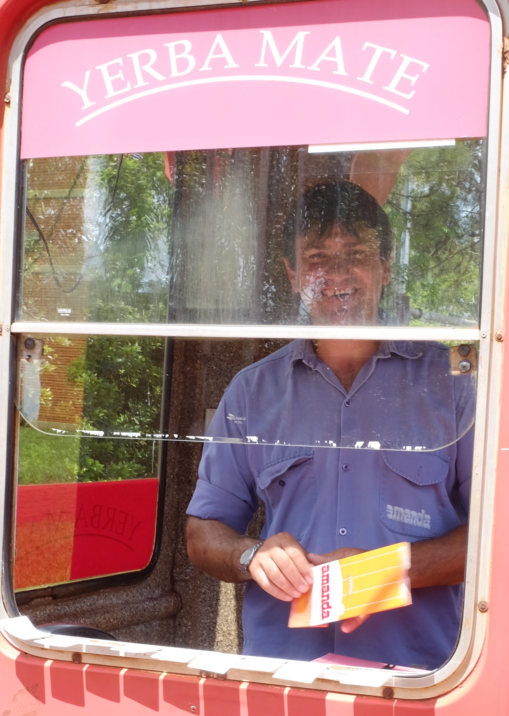
Yerba Mate, Argentina’s national beverage is grown often alongside tea on a plantation scale in the province. Drank as an infusion of leaves with stems ( con palo) in a gourd shaped cup ( mate) with a metal straw ( bombilla) it initially tastes mildly of dried grass and aged woodchips.
The story of yerba mate is also the story of Misiones as it was the missionary settlements (hence the name) founded by European Jesuit priests that led to the growing of yerba mate for commerce by the native Guarani people.
In the 17th century the Jesuits came to convert the area’s indigenous tribes to Catholicism. The Guarani were nomads but the Jesuits placed and protected them in settlements and taught them western agricultural methods and ways to domesticate the wild yerba mate plant. The Jesuits’ social and evangelical experiment ran against the policies of the Portuguese and Spanish governments who relied on captured Guarani slaves to work the colonial plantations. This clash led eventually to the expulsion of the Jesuit Order from the Latin American colonies and destruction and abandonment of the missions.
From 1880s onwards Misiones saw huge European immigration notably Poles, Ukrainians, Germans and other non-latin Europeans into its territory in search of farmlands and work. Today over a million people live in Misiones. Outside of Posadas, the capital, the province is a place of tiny remote settlements and small towns such as Obera, Eldorado and Apostoles, the yerba mate capital of the universe.
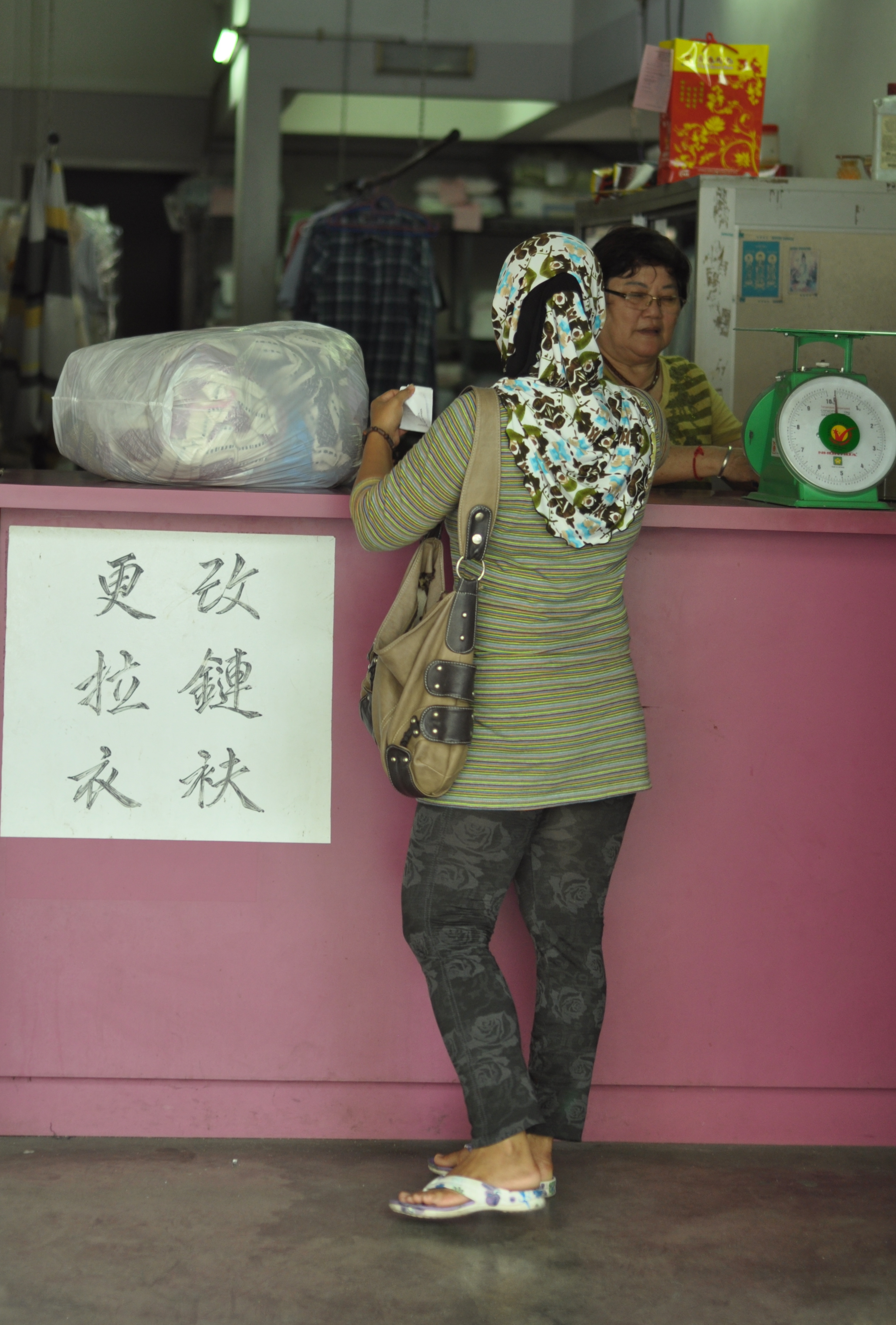
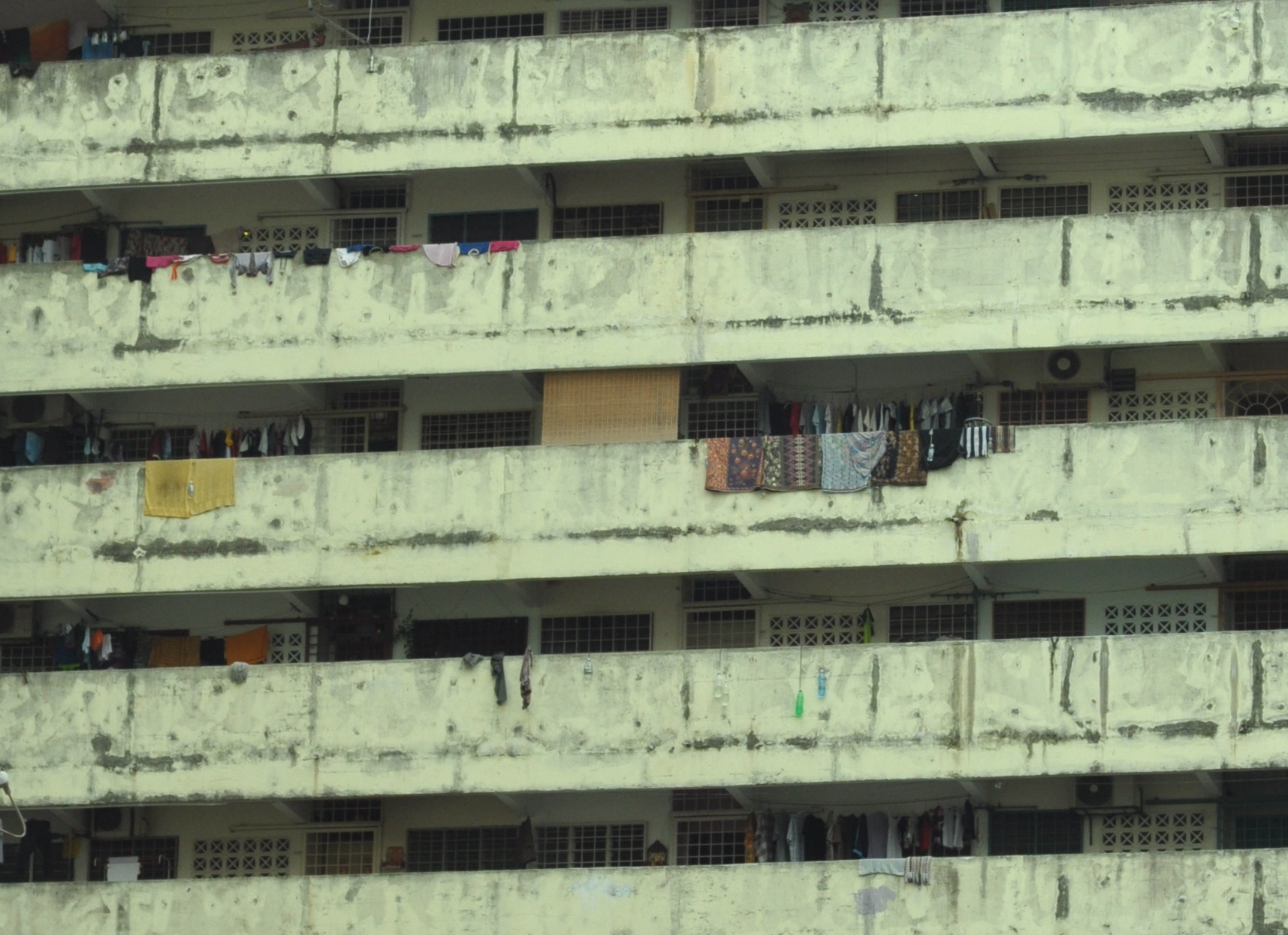
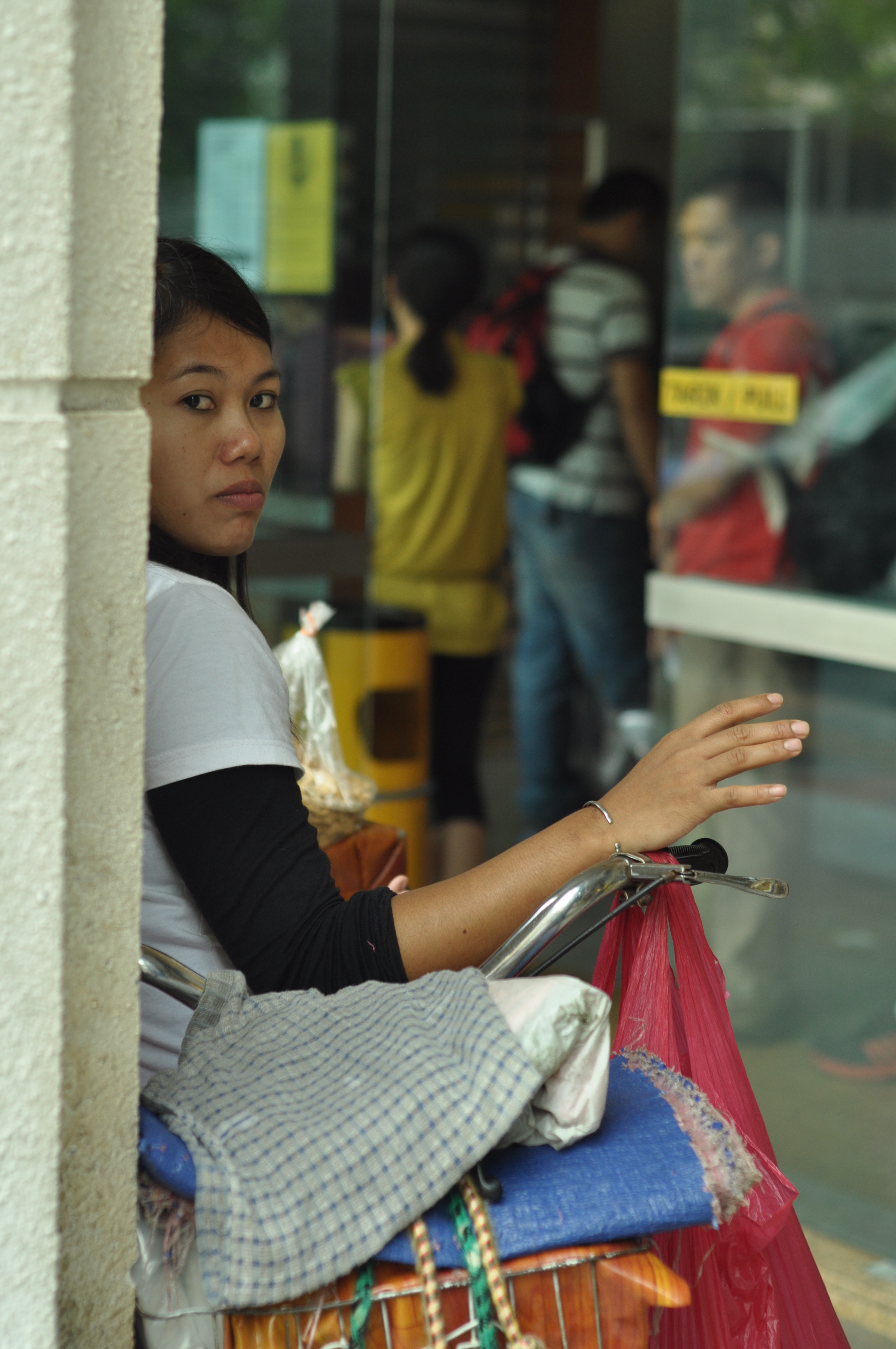
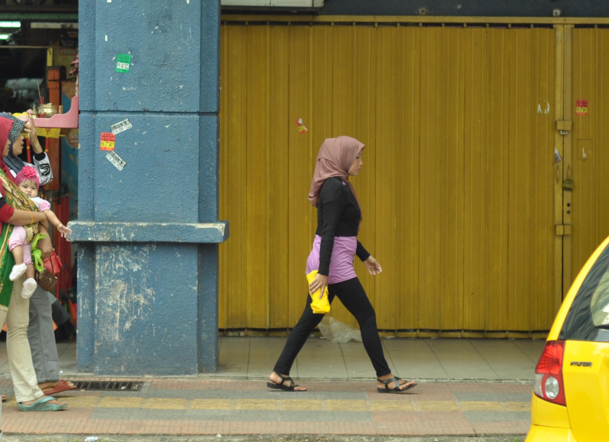
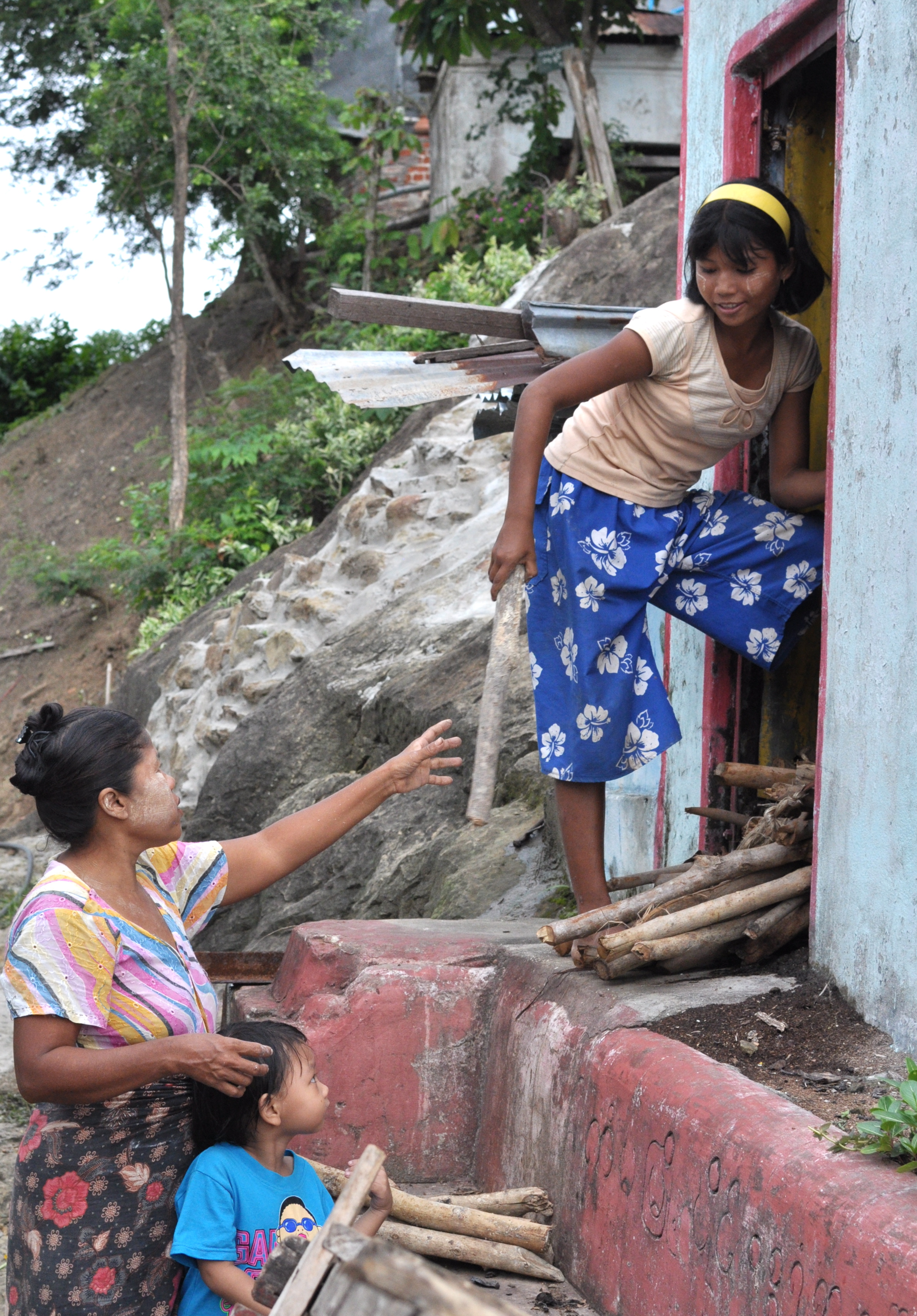
Away from the shiny edifices of the Kuala Lumpur City Center driving in a general northerly direction will bring you to Kepong, a former tough guy township and now inner city suburb that shows off best the city’s authentic side. It is the twin faces of urban blight and buzz that is familiar to folks in KL except tidy expatriates and middle class families who spend most of their lives in the air-conditioned malls of Bangsar and Bandar Utama (two of the city’s more affluent suburbs). Like the barrios and favelas of Latin America, Kepong is at once menacing and reassuring. Even on an overcast and lazy Saturday morning the place fascinates more than any other part of KL I know.
The streets appear disheveled but well-swept in the morning before descended upon by heat, traffic and people
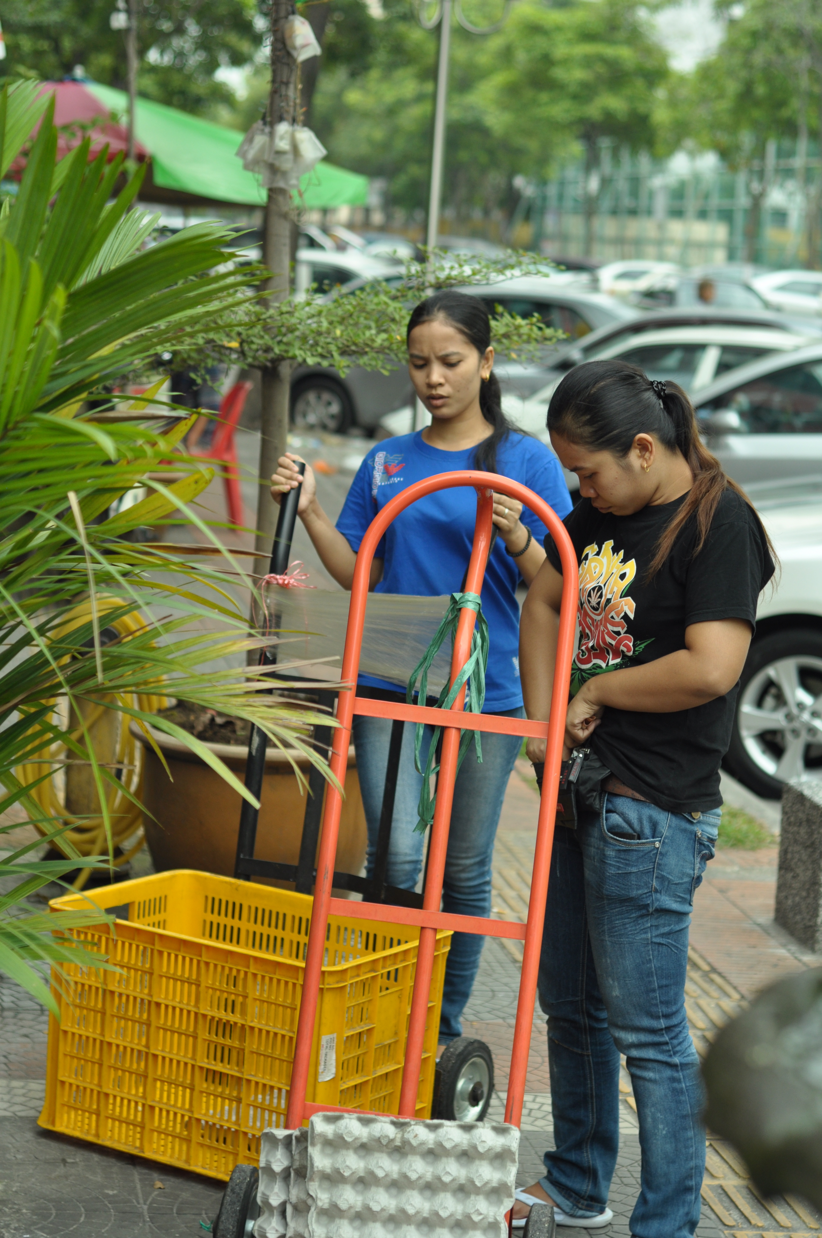
Off to work on a Saturday morning
Chinese have traditionally been the dominant ethnic community here
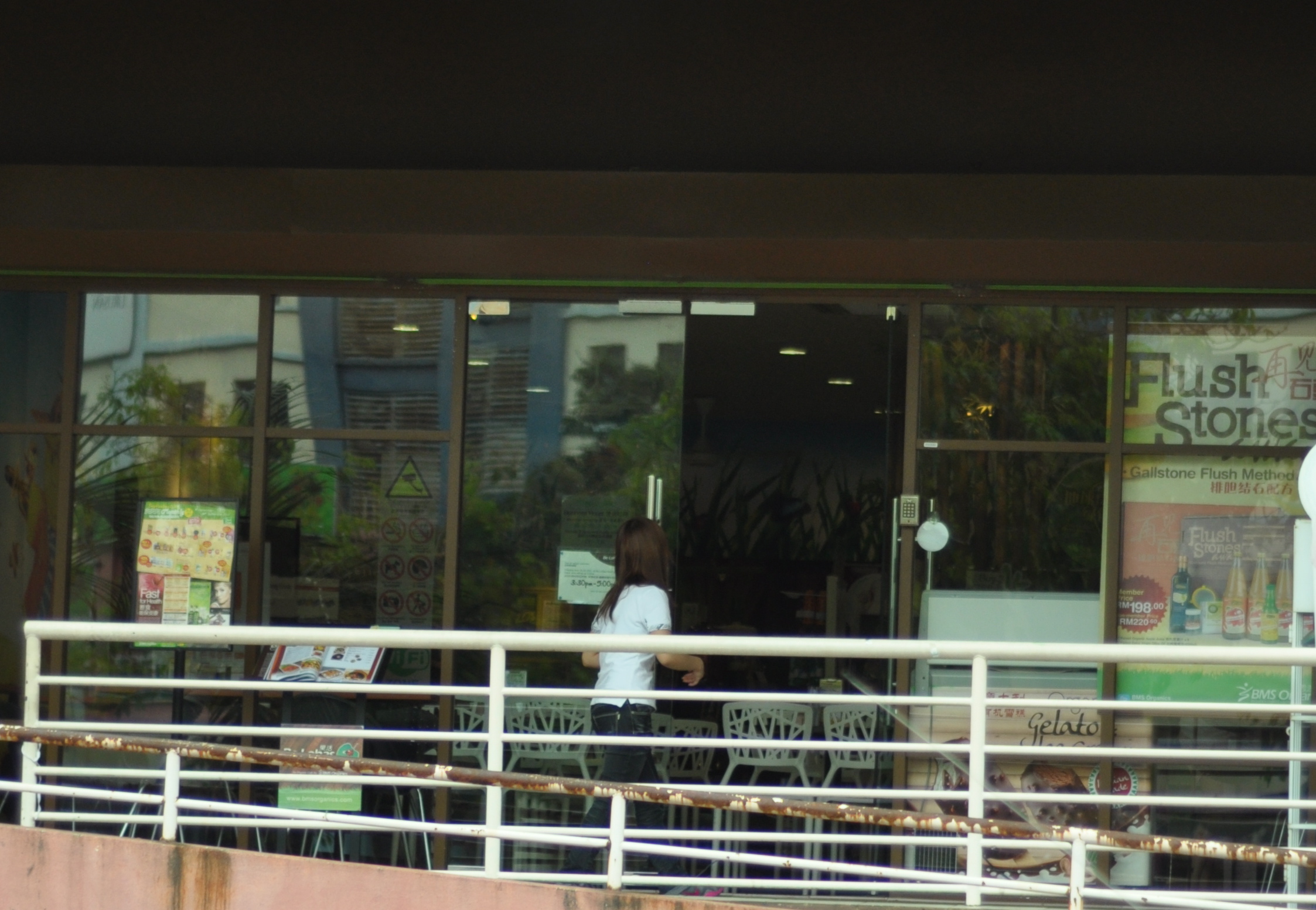
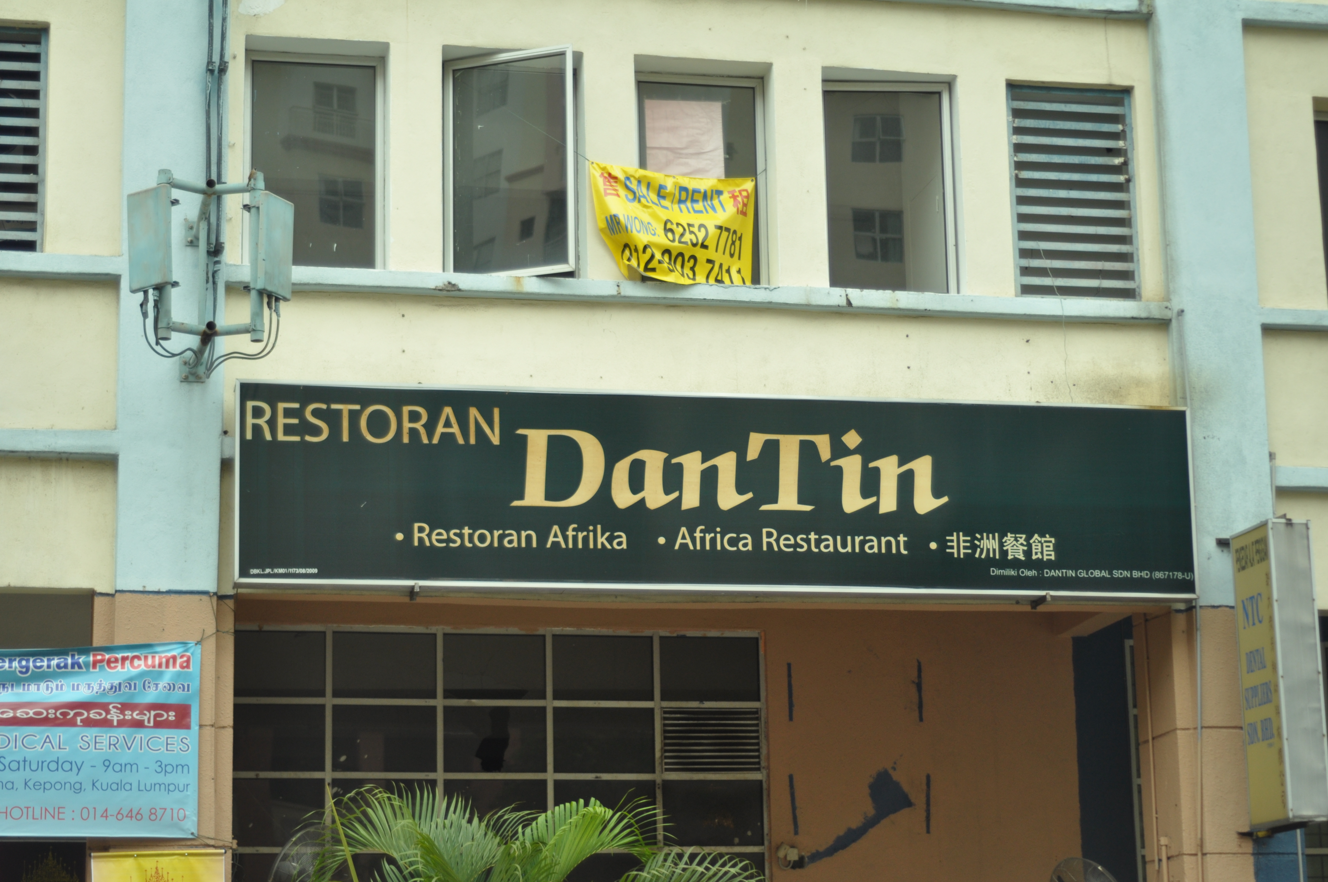
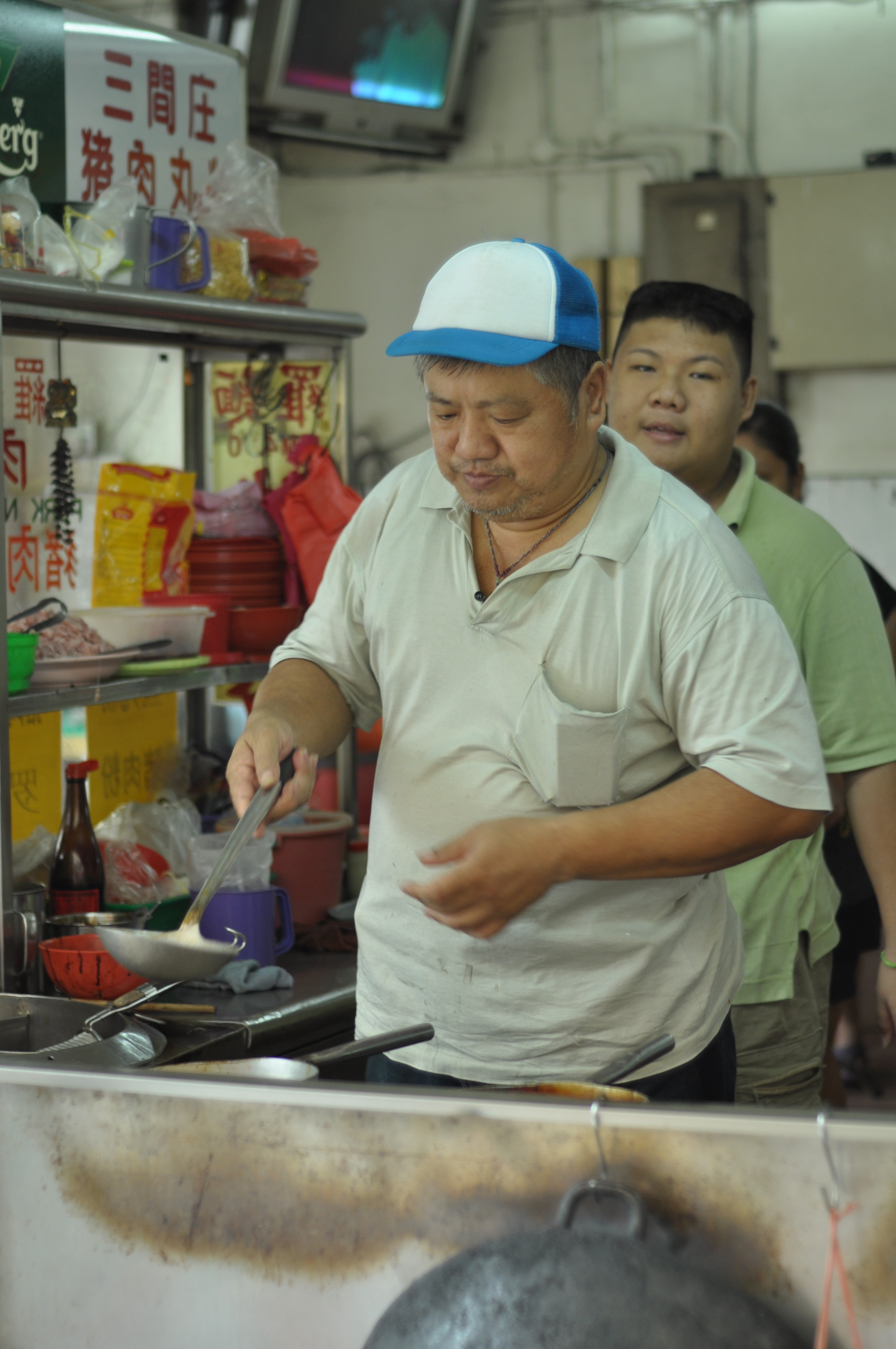
Immigrants from unfamiliar continents have brought their cuisine to Kepong
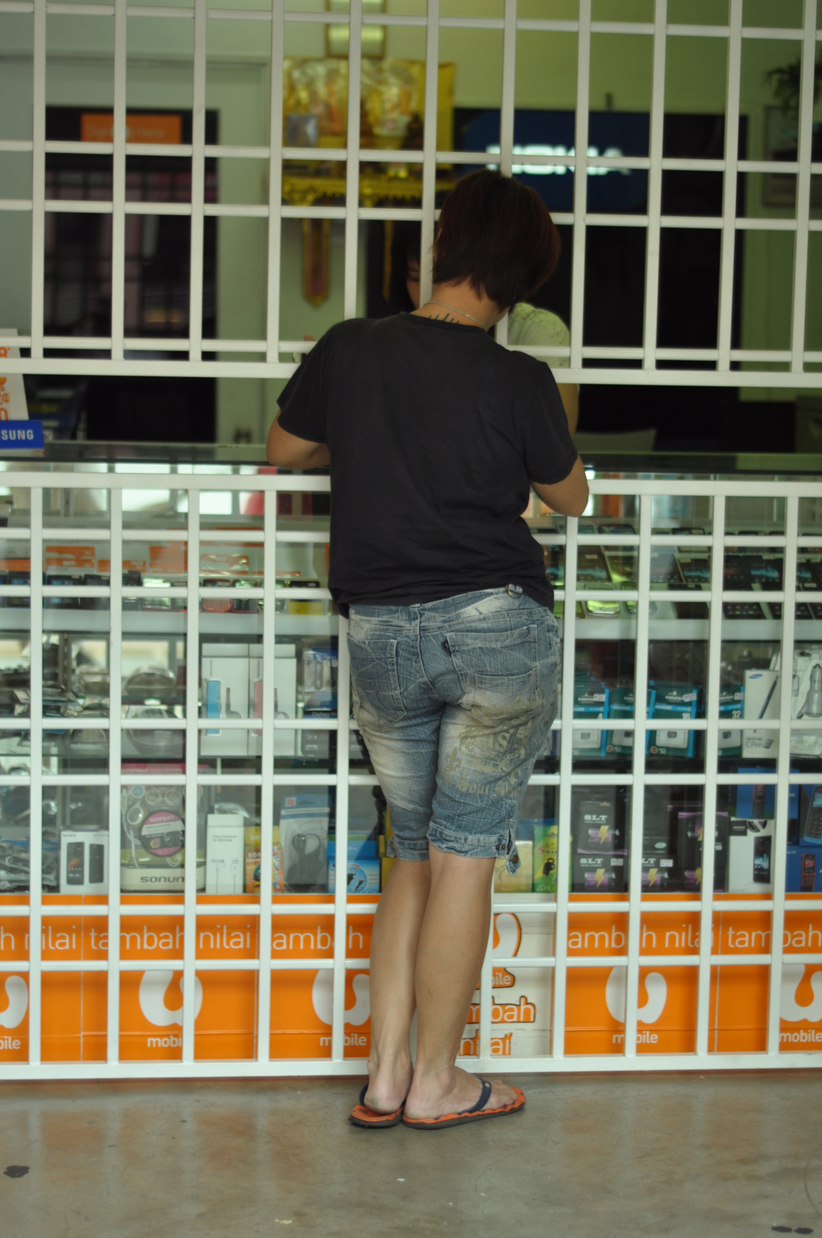
a mobile phone shop caged behind bars- a rare sight in a city where violent crime is perceived to be low
I have never fully understood why Punjabi is officially used in Malaysia only on multi-lingual sign warning of eletrocution
A recycling bin doubles as a community notice board
All images copyright Kerk Boon Leng September 2013
Myanmar is a proudly and profoundly religious place. It is one of few officially Buddhist countries left in Asia – a continent that in ancient times had embraced Buddhism as its creed in the vast region stretching from the mountains of Afghanistan and deserts of Uzbekistan to the islands of Japan and the Malay Archipelago. There are perhaps thousands and thousands of temples and pagodas across Myanmar. Some are magnificent monuments built by monarchs to instill reverence and awe. Others are less ostentatious and more prosaic and purposeful in their design and construction. But most if not all are coated with gold so that they glitter in the hot sun and glimmer on nights when the moon is out. For maximum special effect, many pagodas are built on elevated ground including the first one I ever spent a night in called Hpo Oo Taung near Pyay, a historically important town 5 hours north of Yangon.
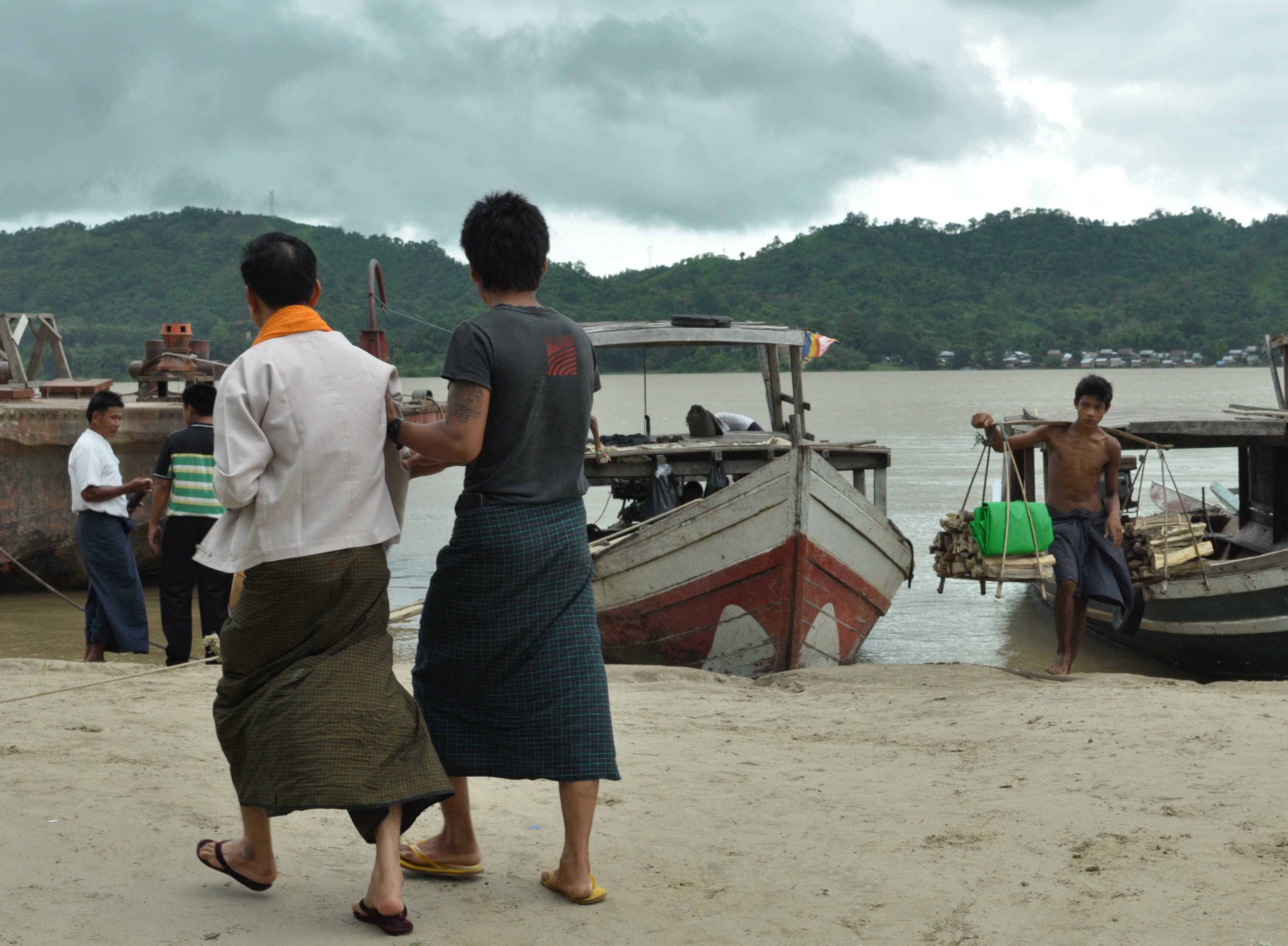
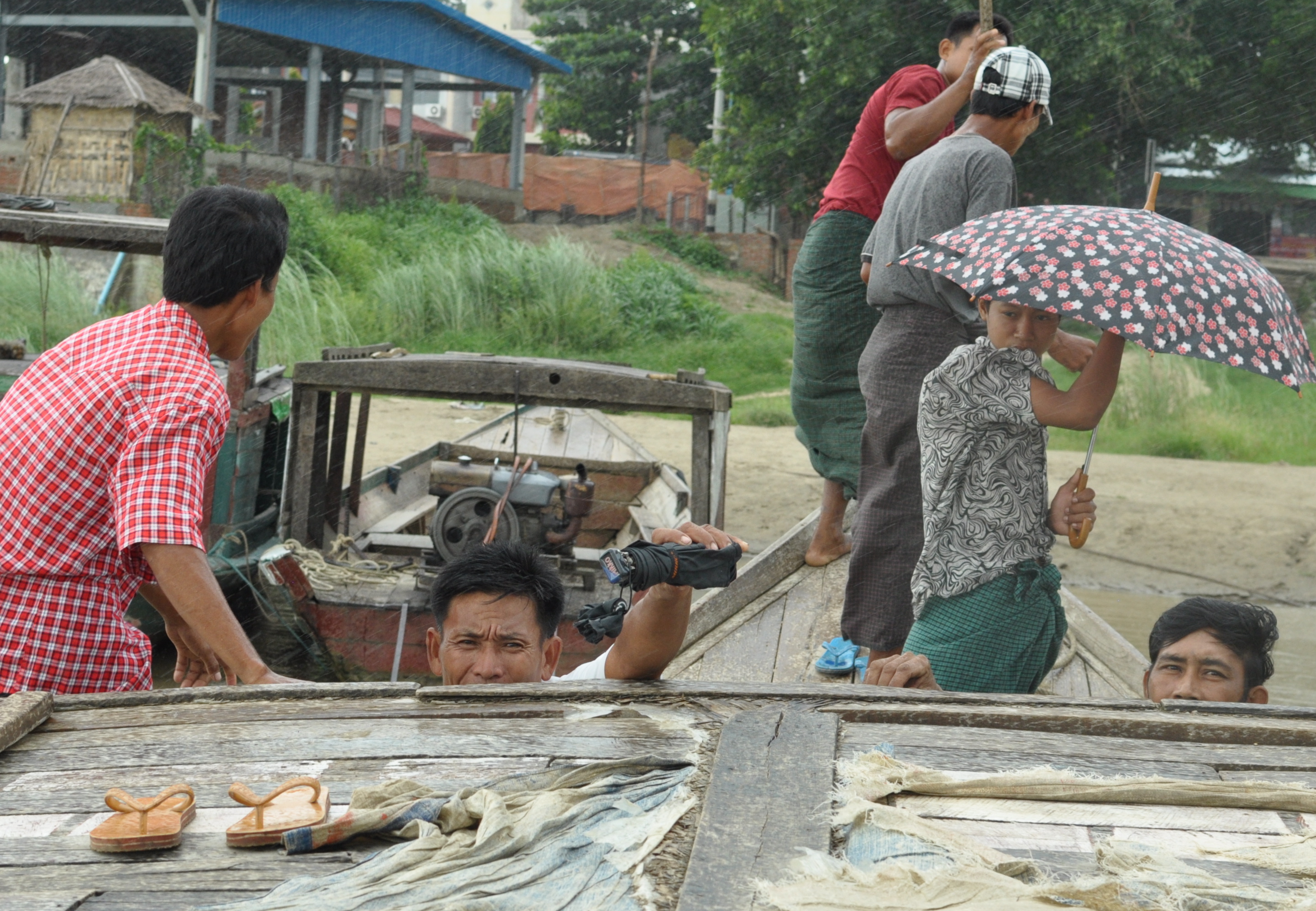
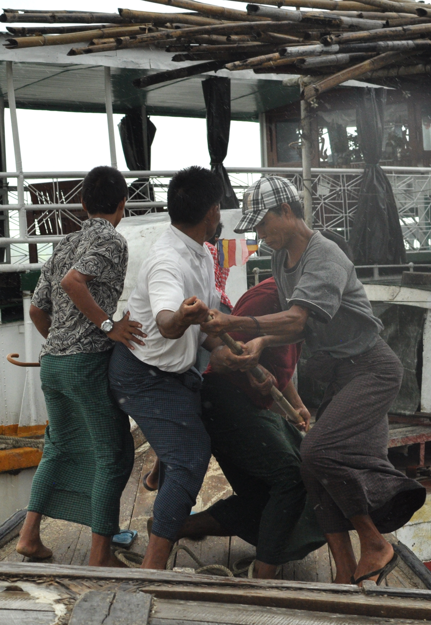
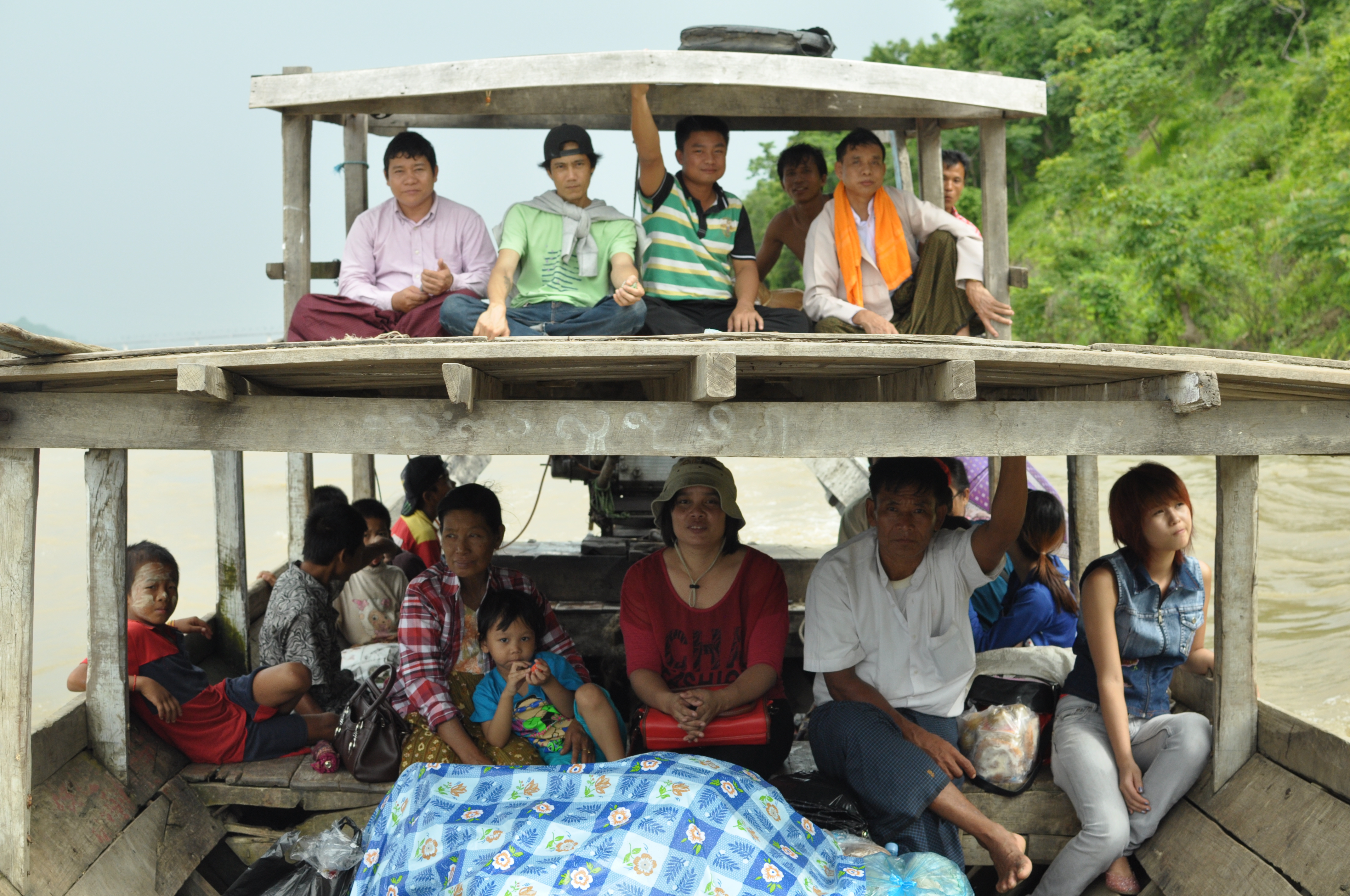
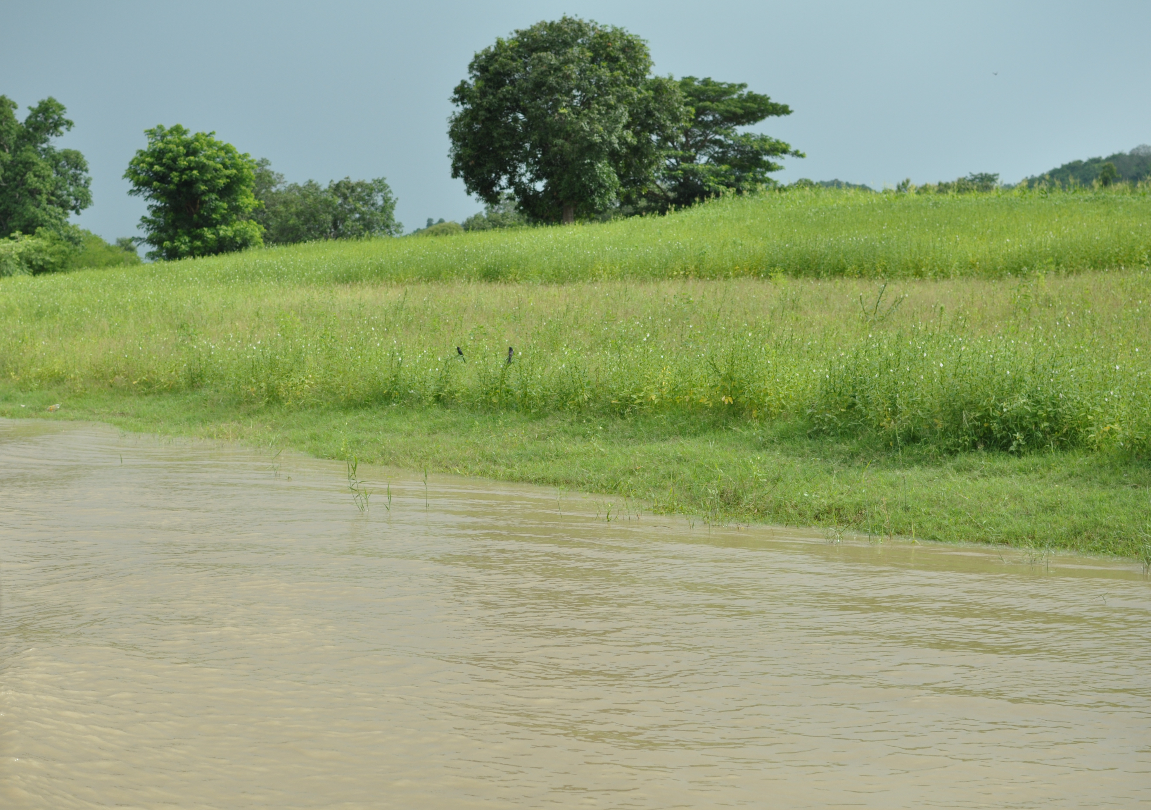
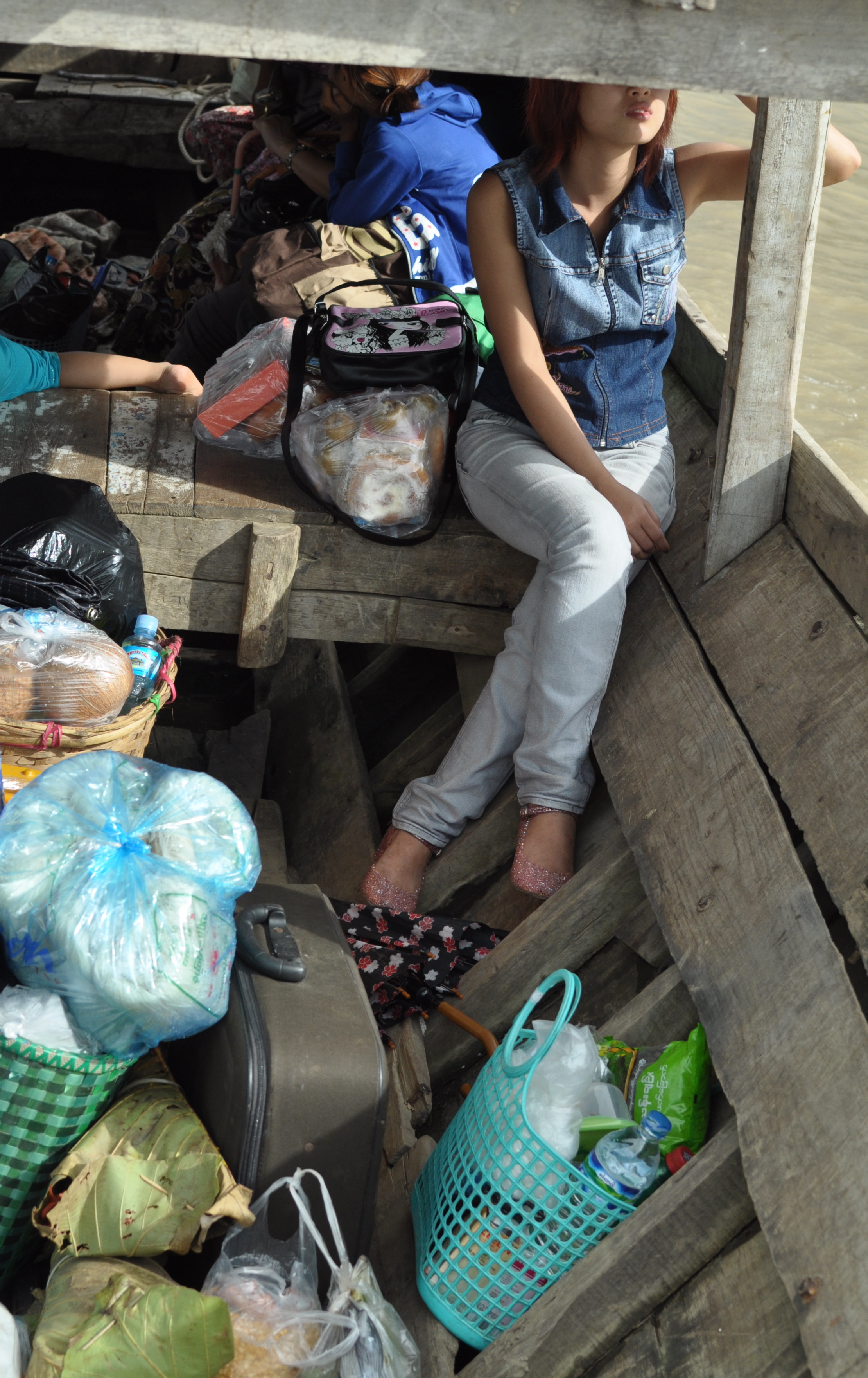
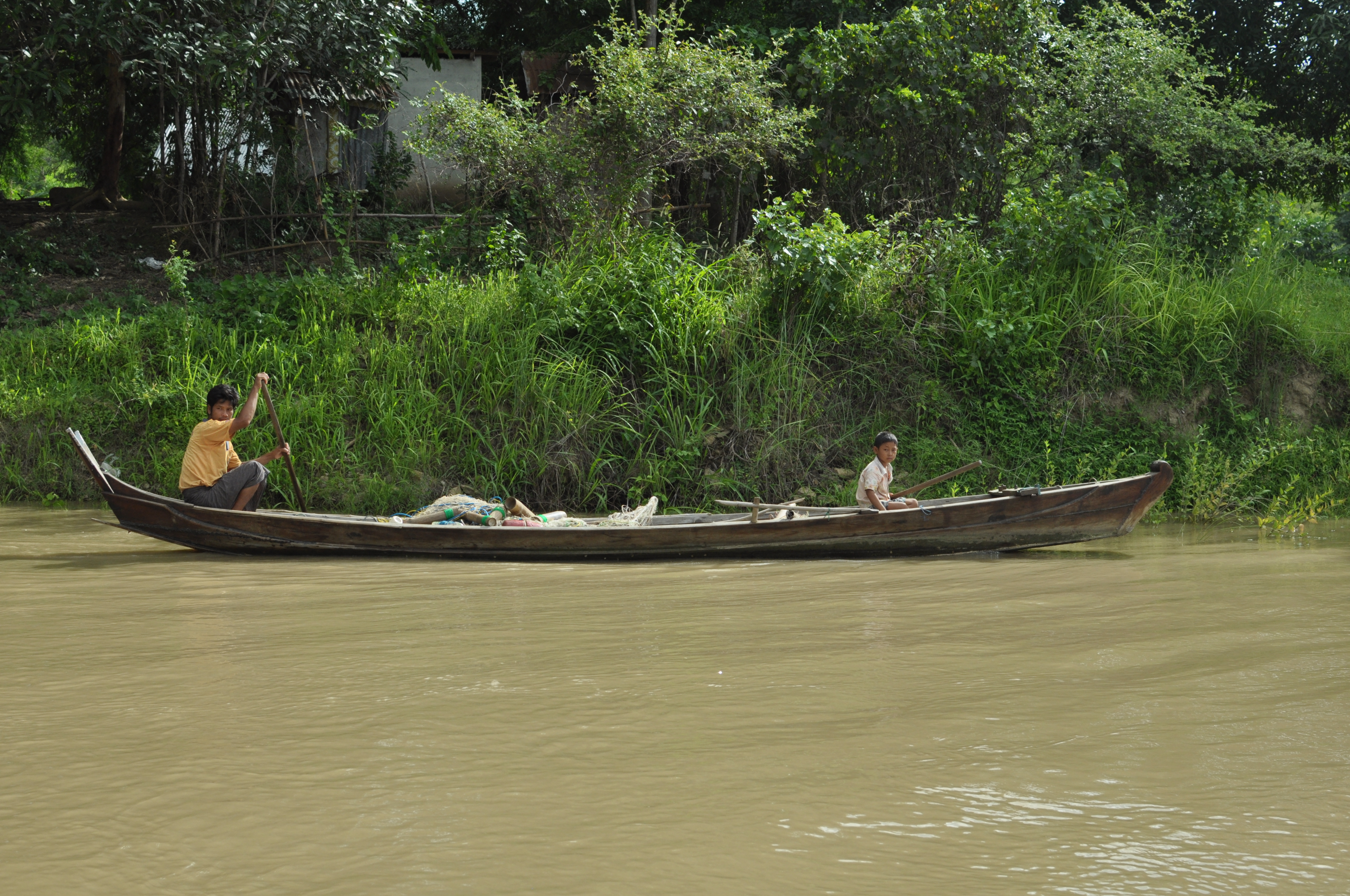
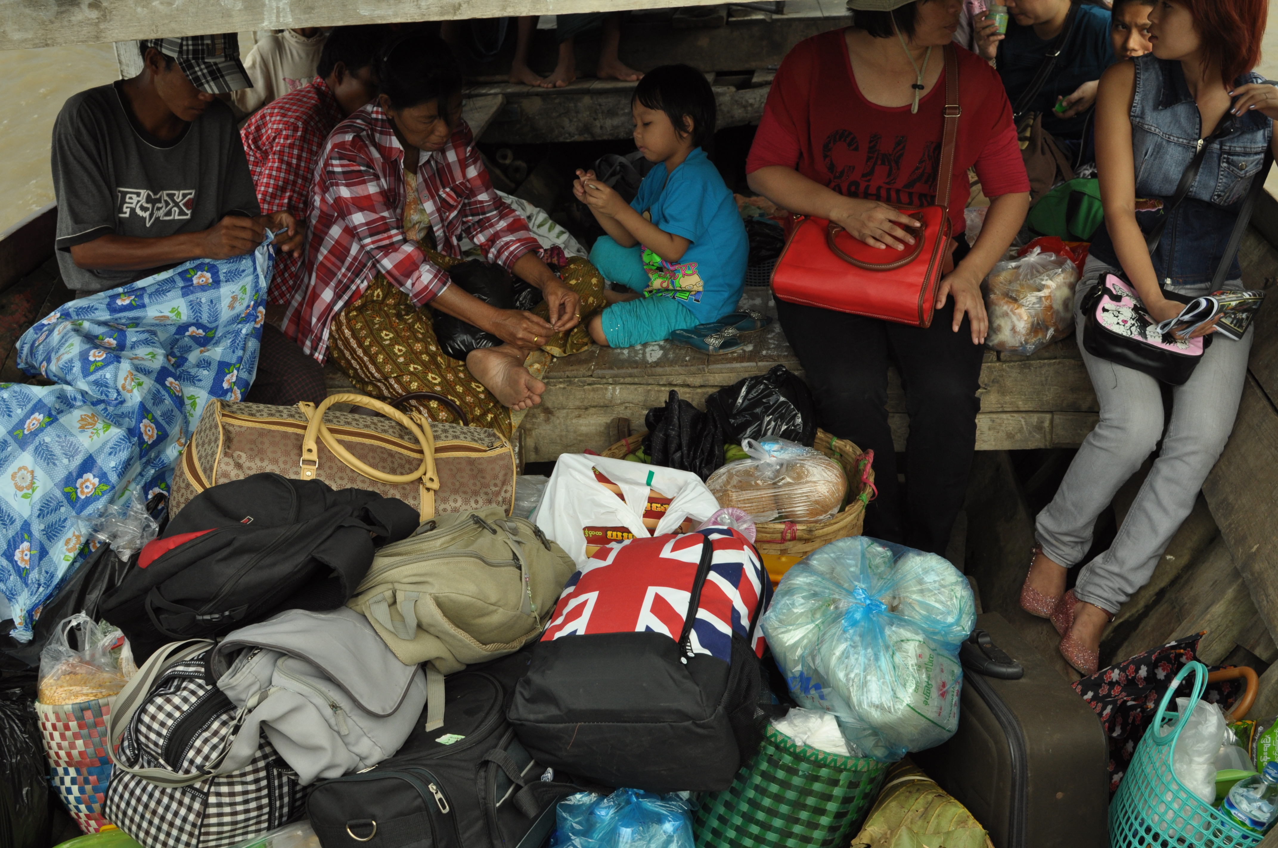
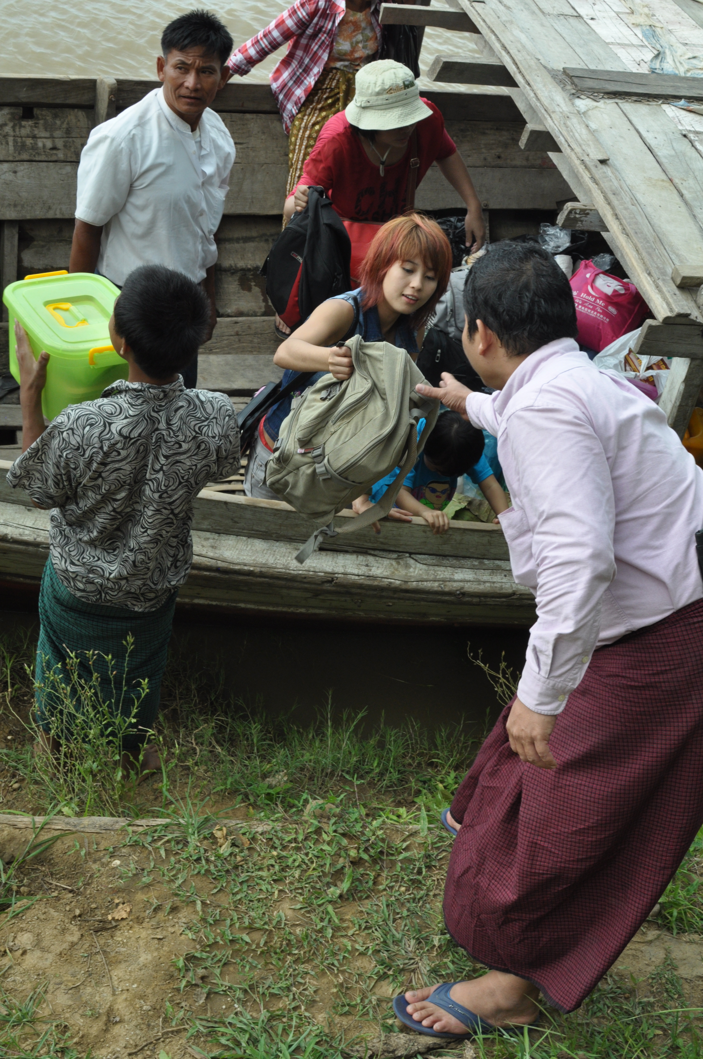
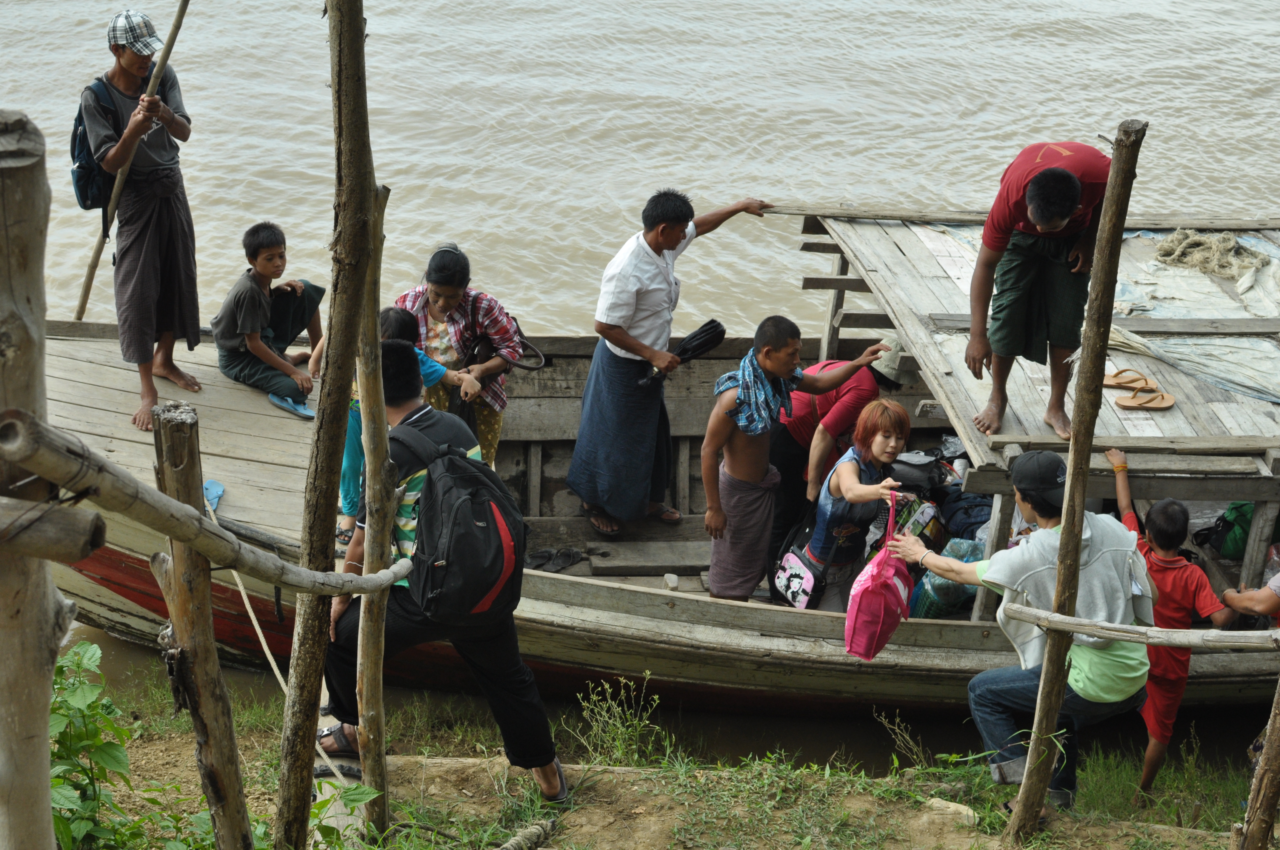
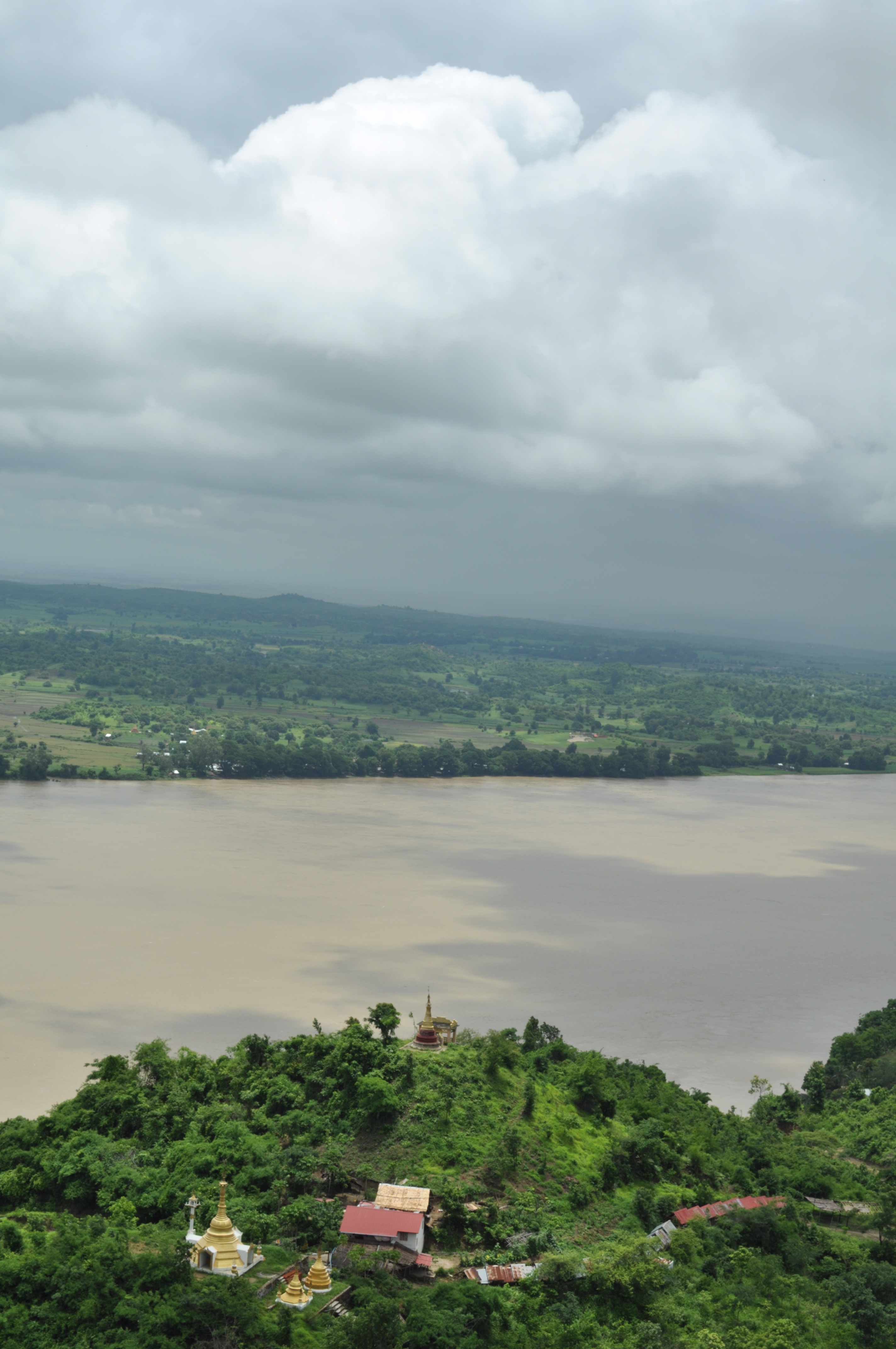
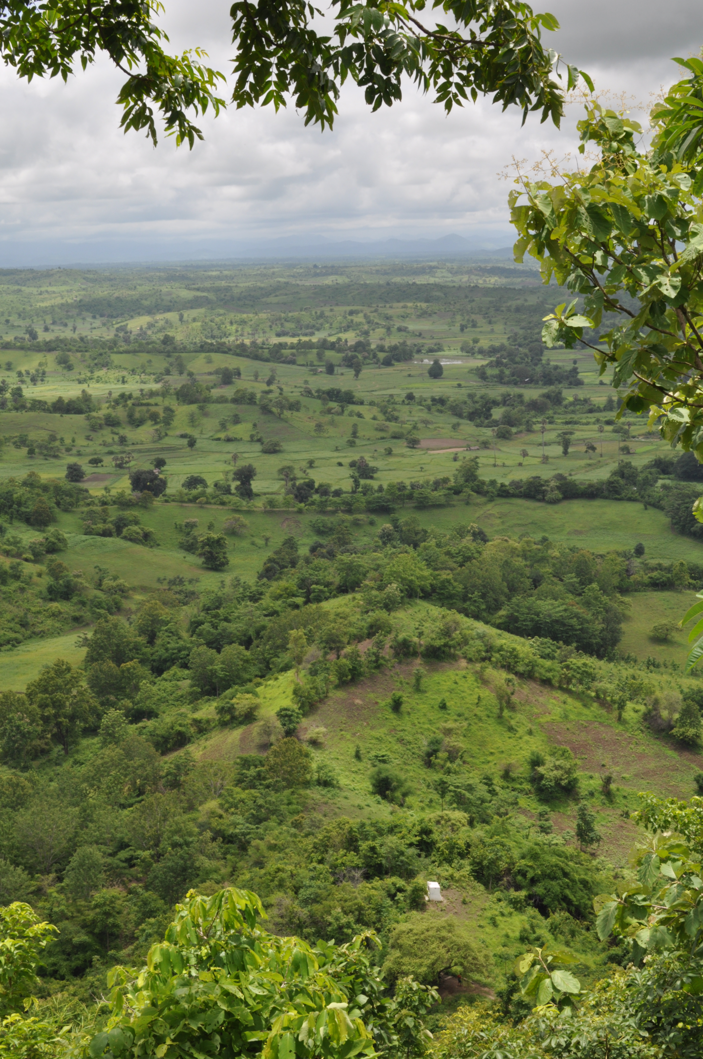
During the wet season Zin Mar invited me to join her together with her husband Myo and her fortune-teller father-in-law on a pilgrimage to their family’s favorite hill top pagoda. Getting there involves a half-day car ride from Yangon, then a one-hour boat trip from Pyay heading upstream along the western banks of the Irrawaddy to the village of Yartaya and finally a breathtaking (literally) 50-minute hike up a scenic hill.
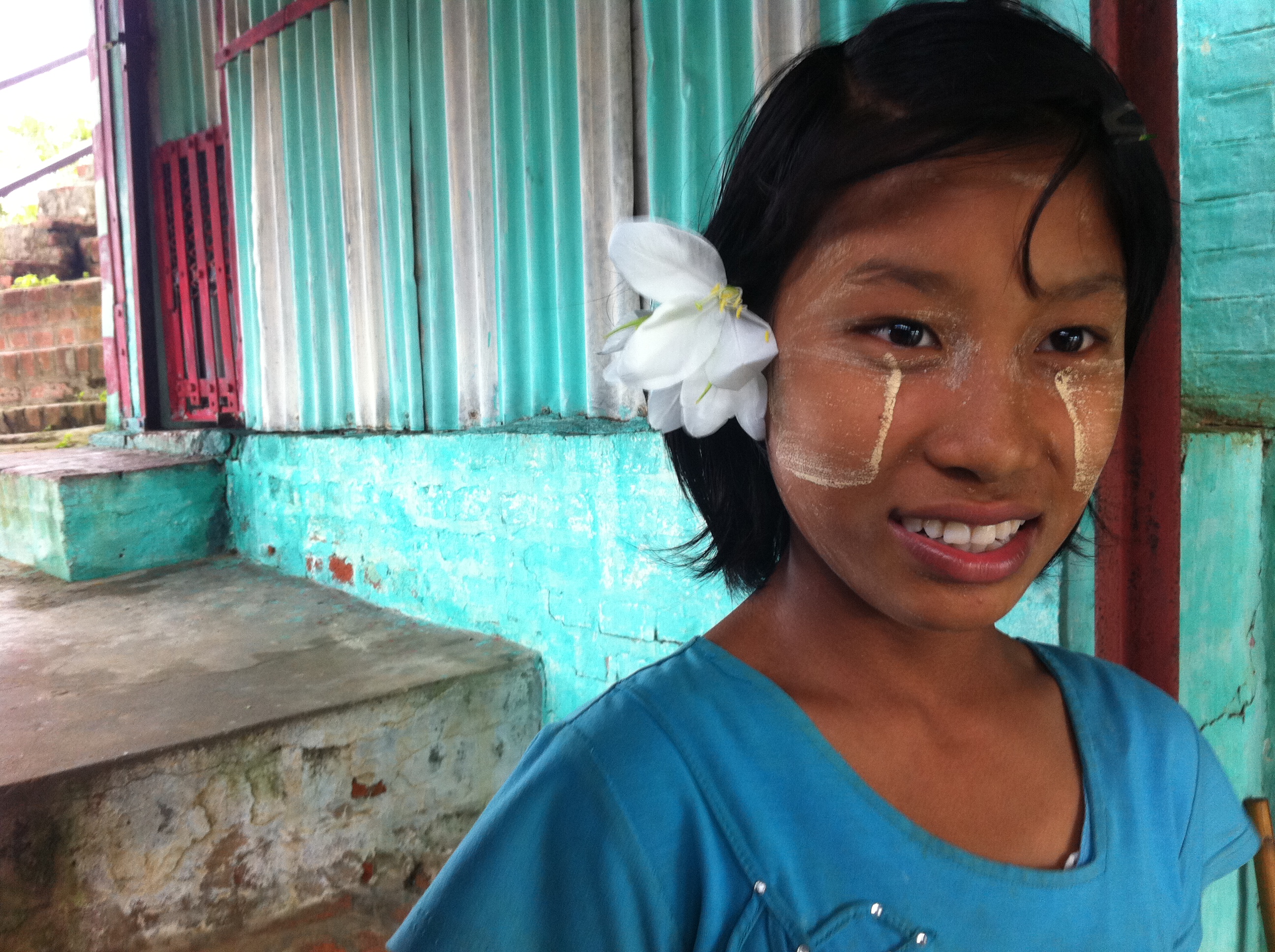
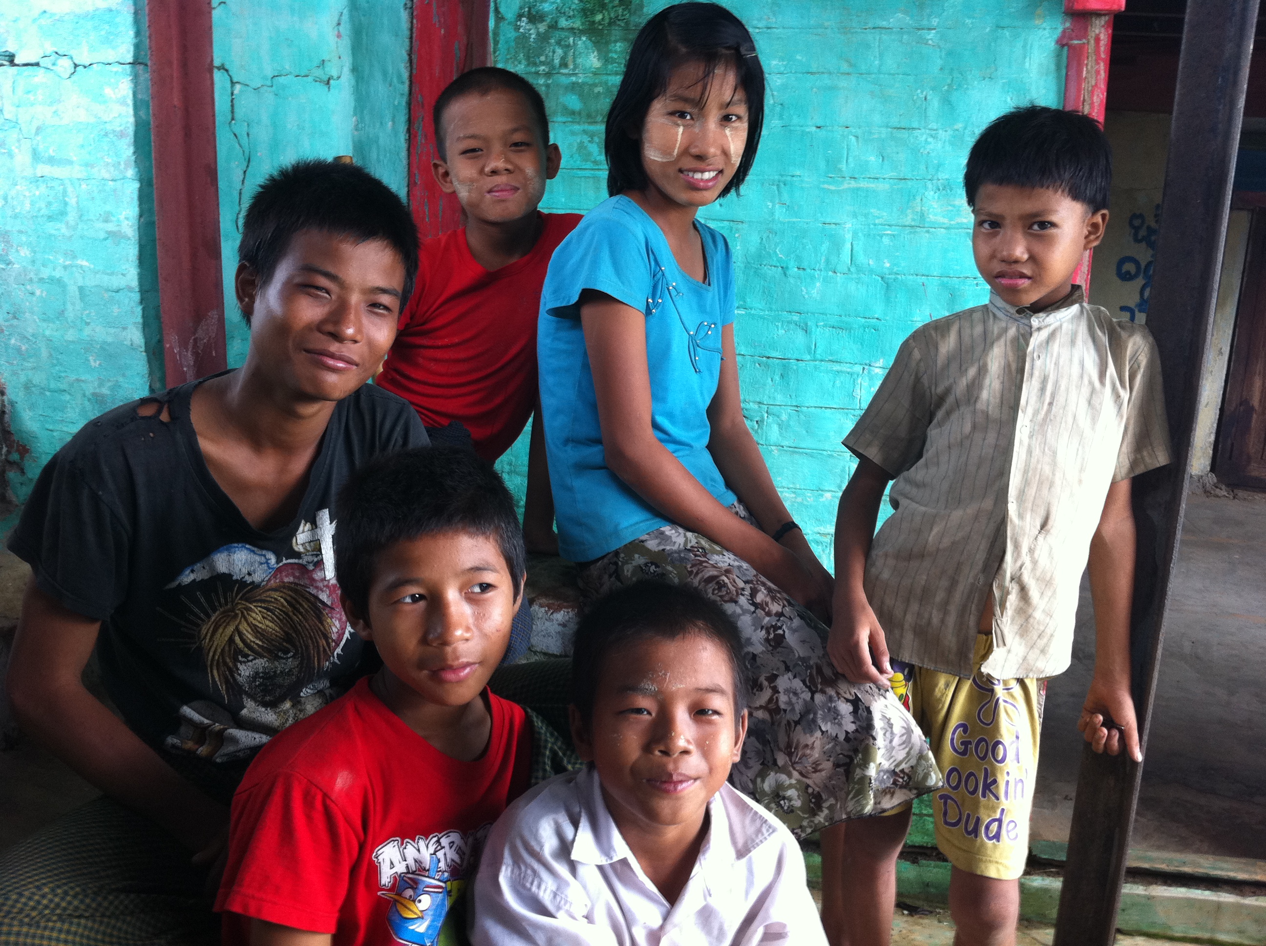
An enthusiastic troop of children from the village at the foot of the hill come to the jetty to greet us and to help us carry our bags, luggage and provisions to the pagoda. The temple is built on a boulder on the summit. As I gaze up at the white washed stupa from the temple hall I am reminded of the temples in Nepal.
I am not a zen devotee but joining Zin Mar and Myo in their night time meditation at the hill top shrine surrounded by swirling clouds and soothing sound of rain on the zinc canopy I feel a strange sense of silence and calm. That night as I rest my tired body on a thin mattress insulated from the cement floor of my 80 square feet guest room contemplating sleep wisp of white mist blew in through the open window.
According to online information I found after the trip, Hpo Oo Taung is actually a very significant holy site. Myanmar oral tradition has it that the Buddha visited the very hill on which the pagoda now stands and surveying the broad bend of the Irrawaddy River from up high predicted the founding of Sri Kshetra, Myanmar’s first ever capital city pre-dating Bagan by six hundred years.
“ At this solemn moment therefore I call upon you all to dedicate yourselves to the service of the new Malaya: to work and strive with hand and brain to create a new nation, inspired by the ideals of justice and liberty – a beacon of light in a disturbed and distracted world.”
Tunku Abdul Rahman, Malaysia’s first prime minister, Speech on the Proclamation of Independence, 31 August 1957
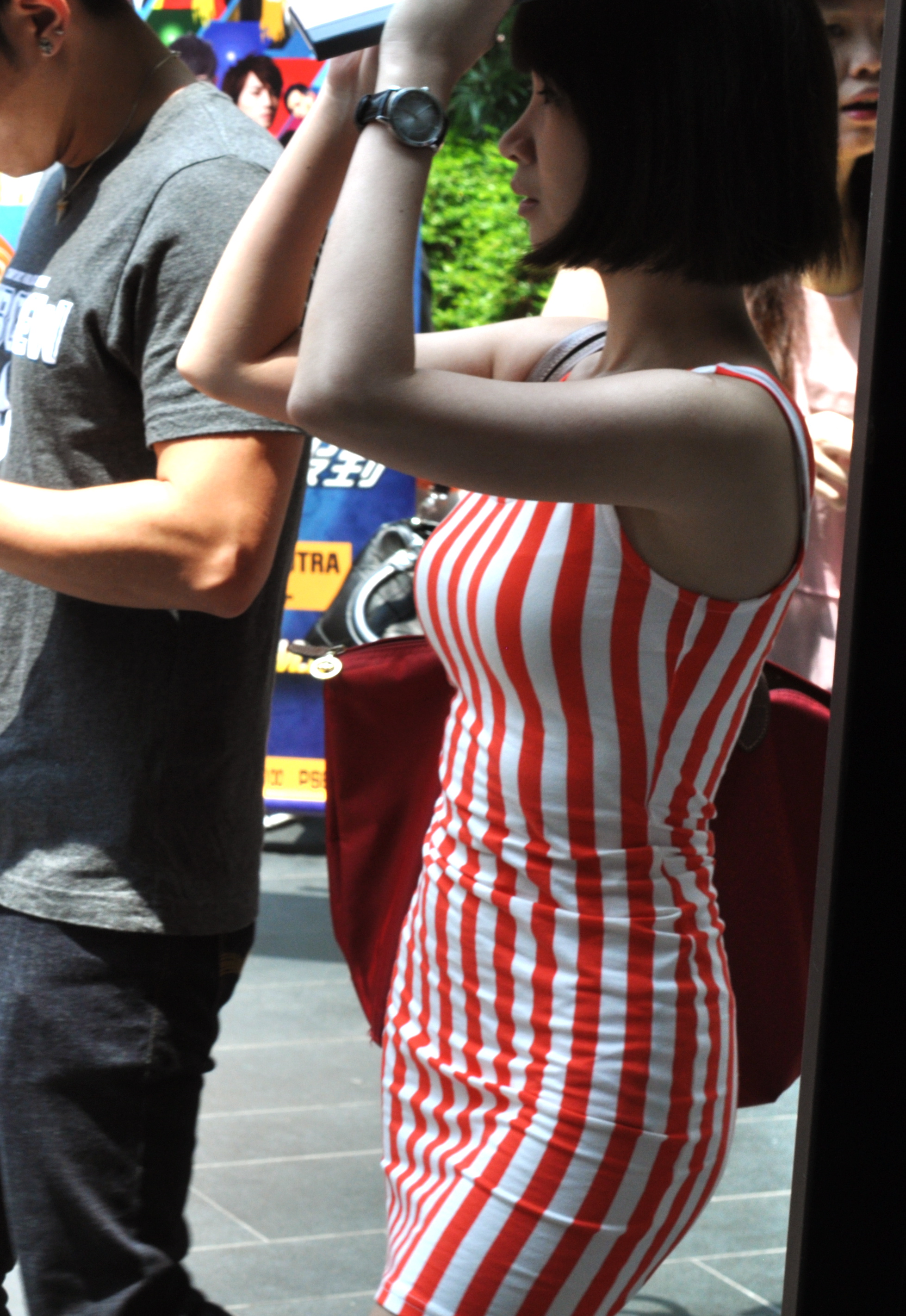
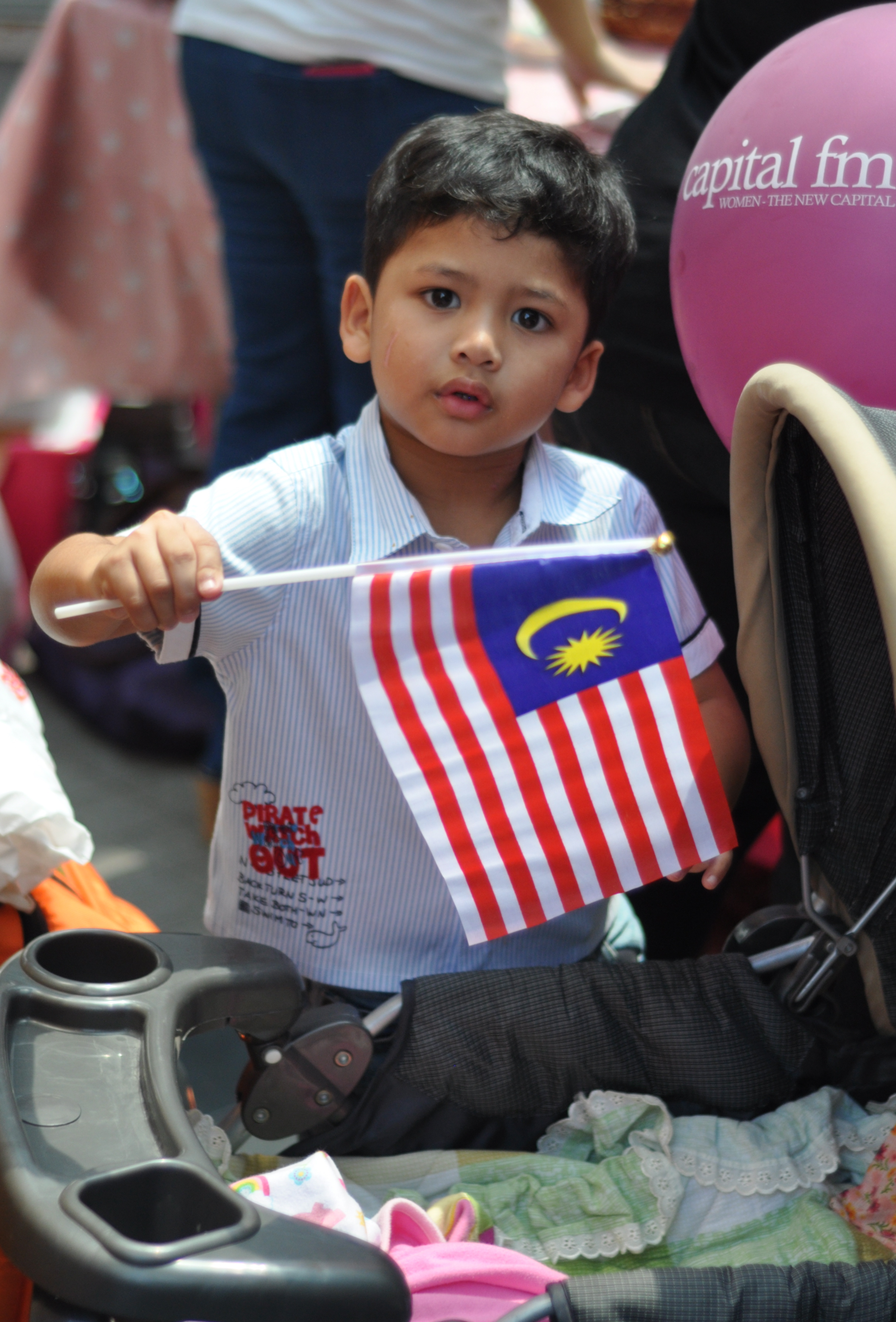
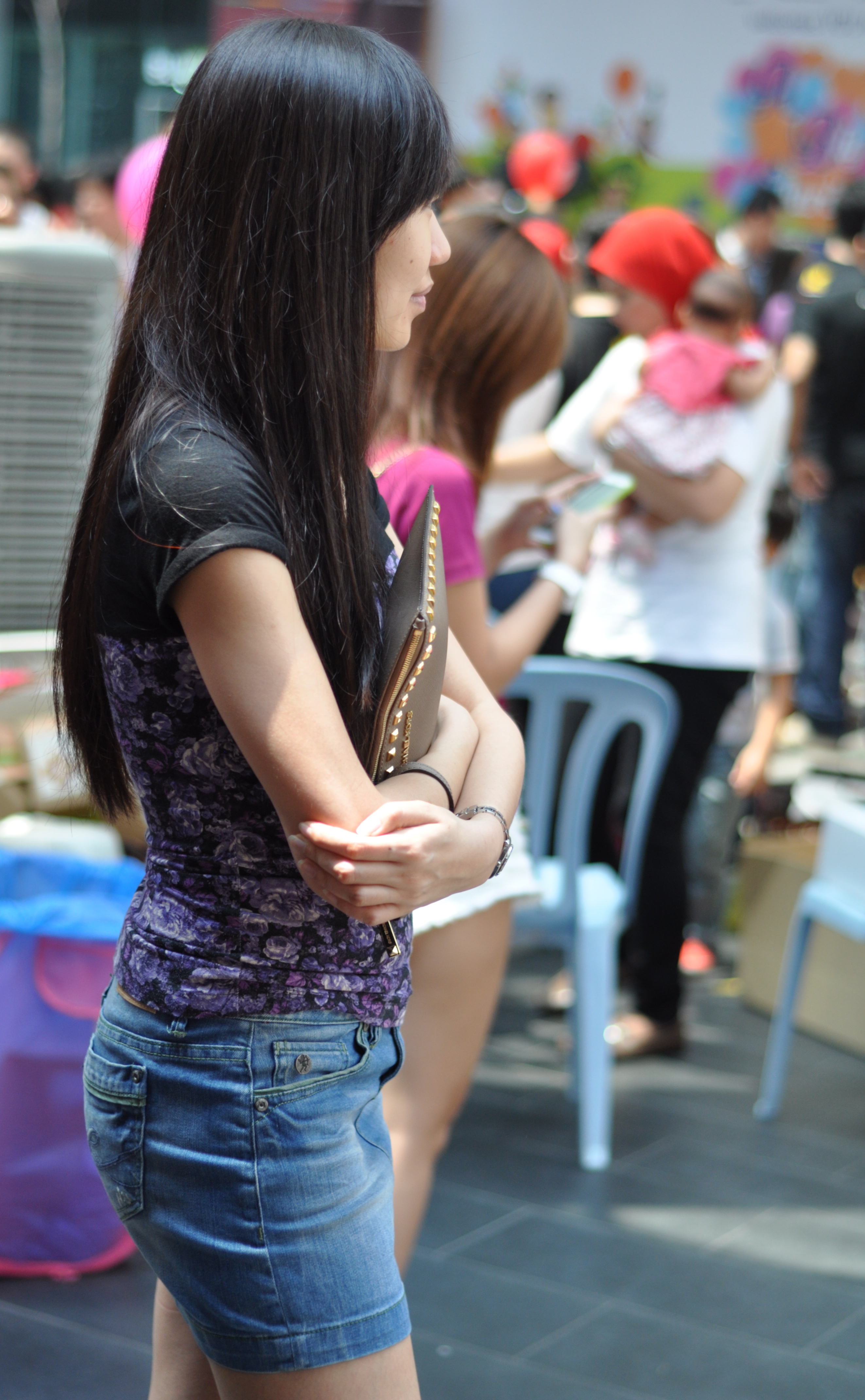
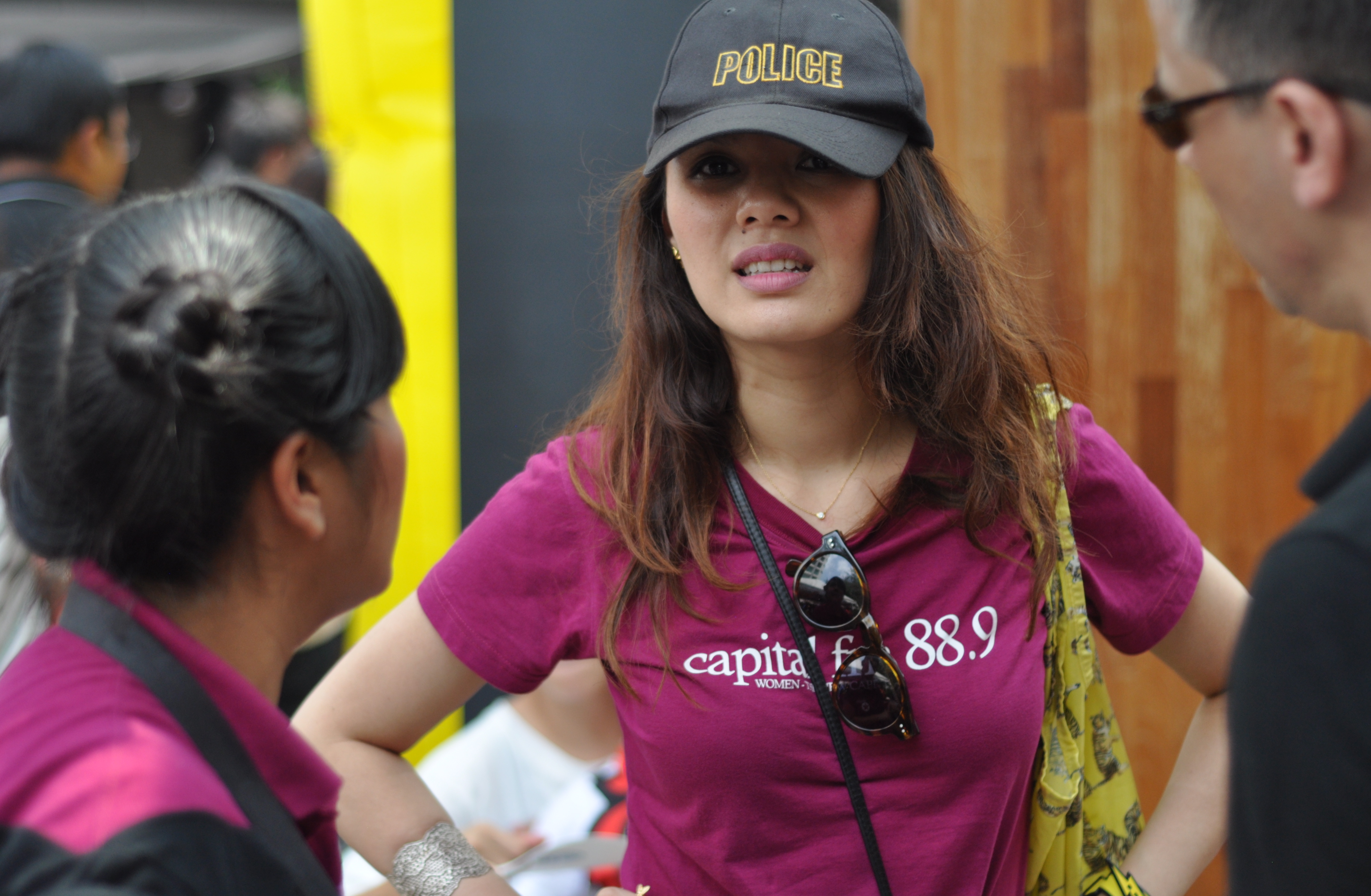
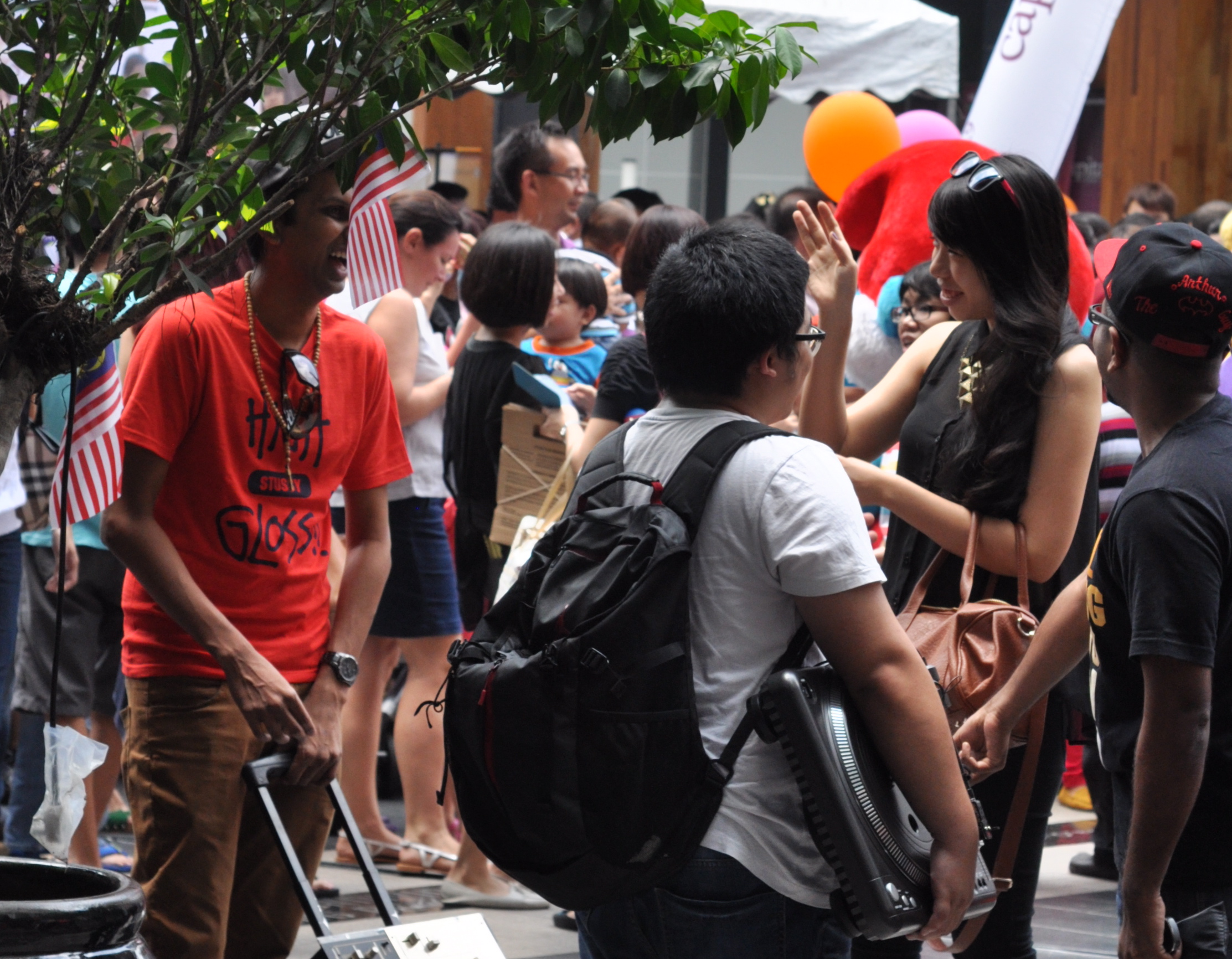
Merdeka (independence) Day on 31 August is Malaysia’s national day. This year it marks the country’s 56 years of independence from Great Britain in 1957. A few leading radio stations in Kuala Lumpur got together to organise a charity event in support of orphanages in the city.
All images copyright Kerk Boon Leng 31 August 2013
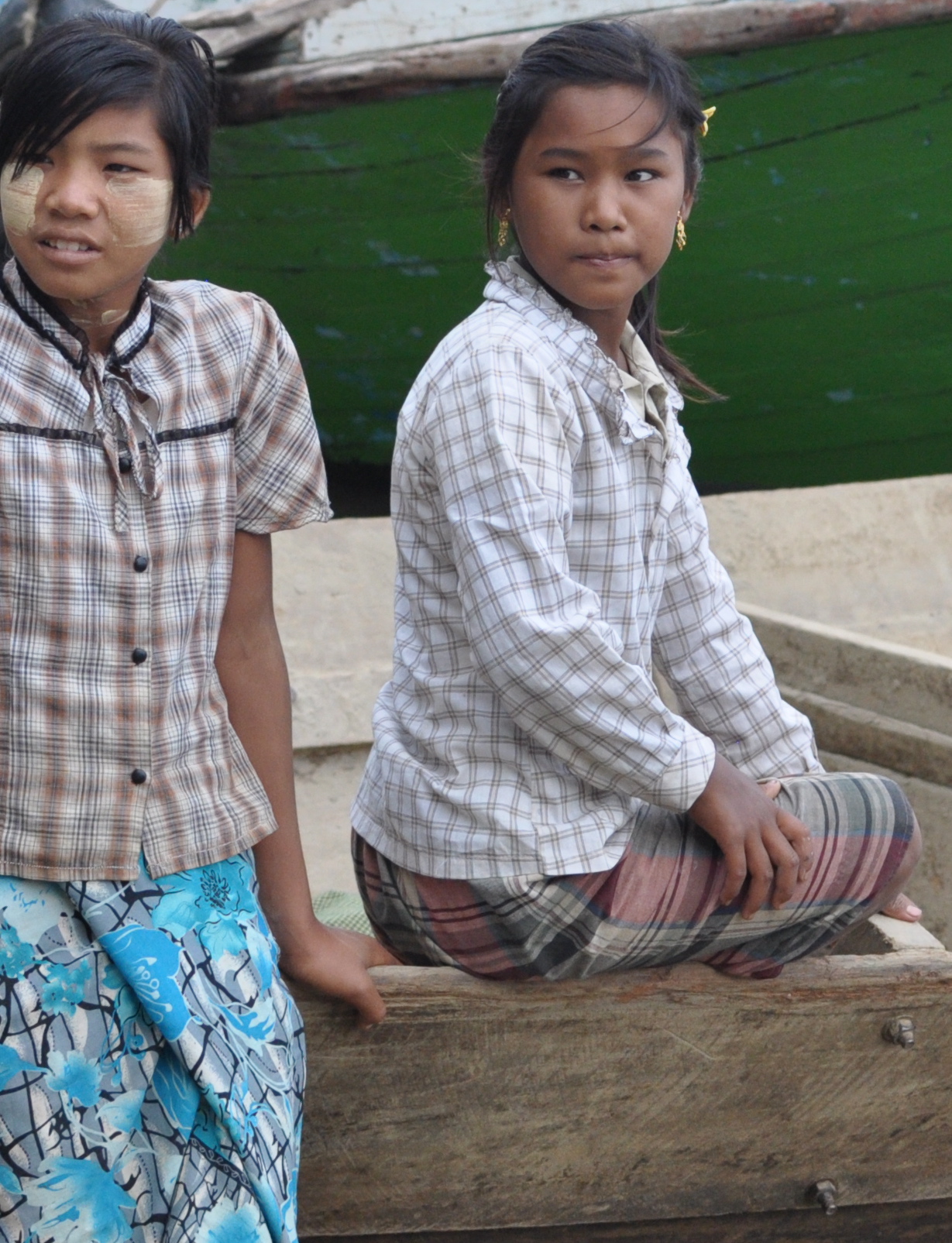
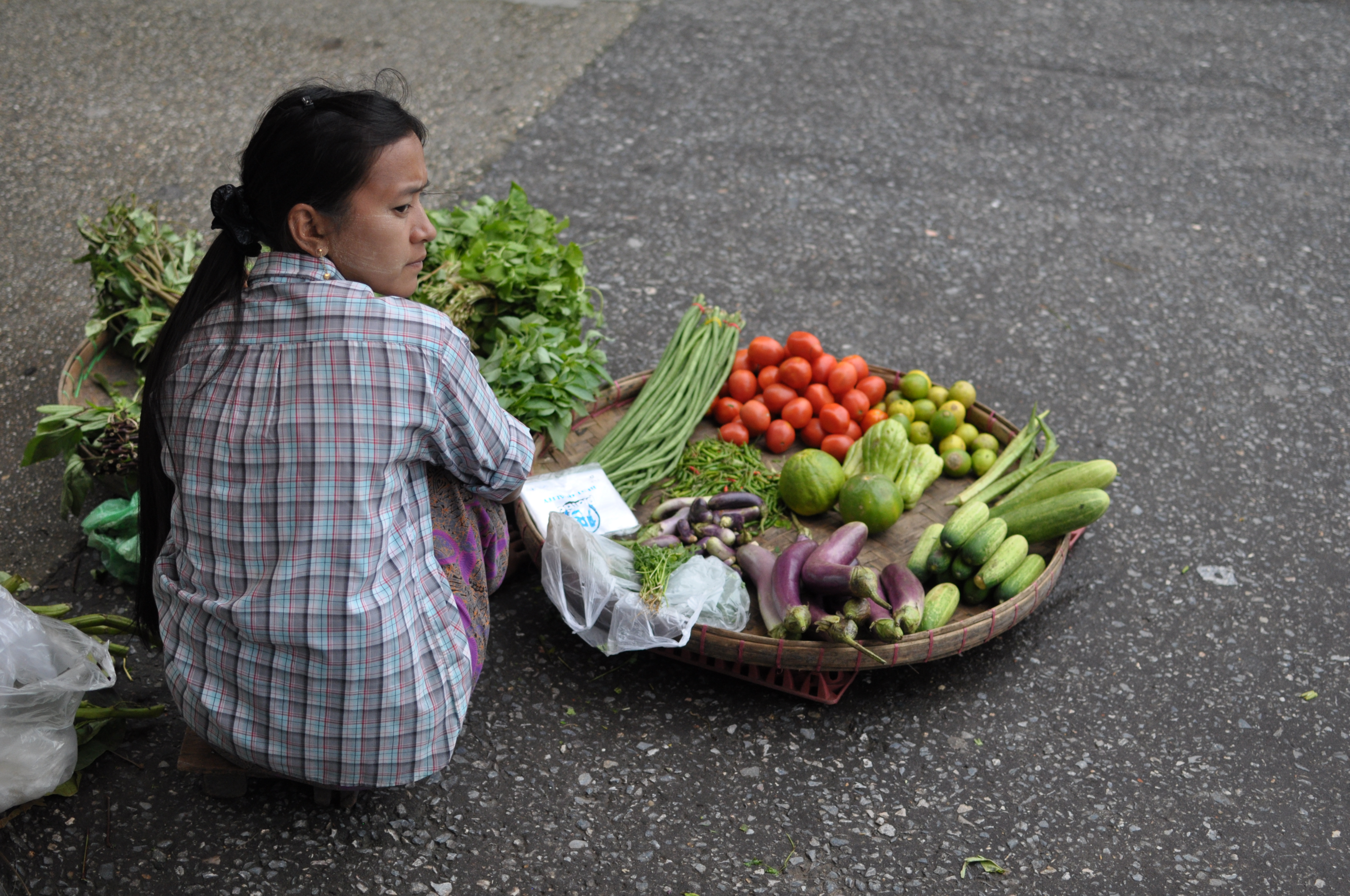
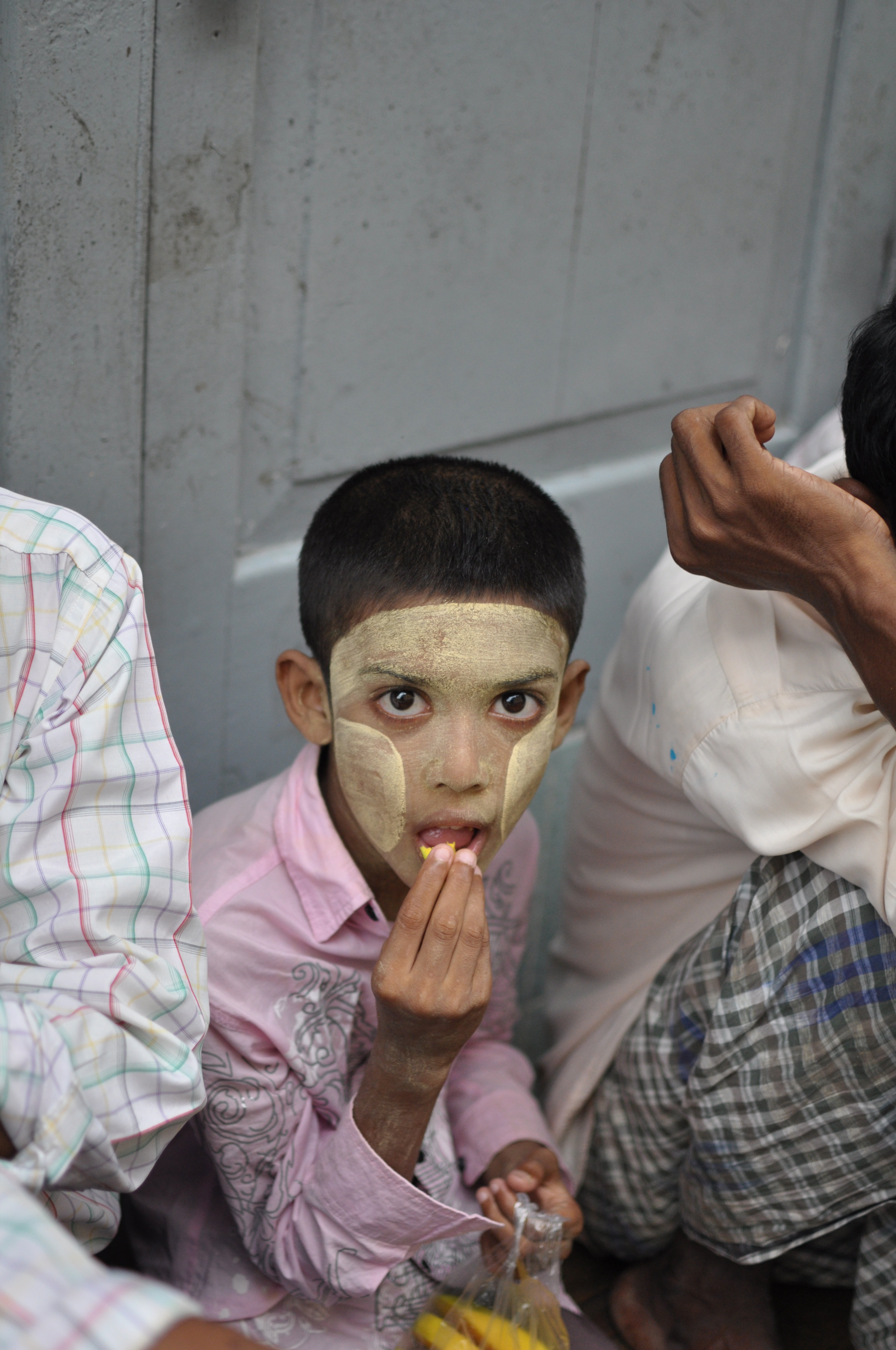
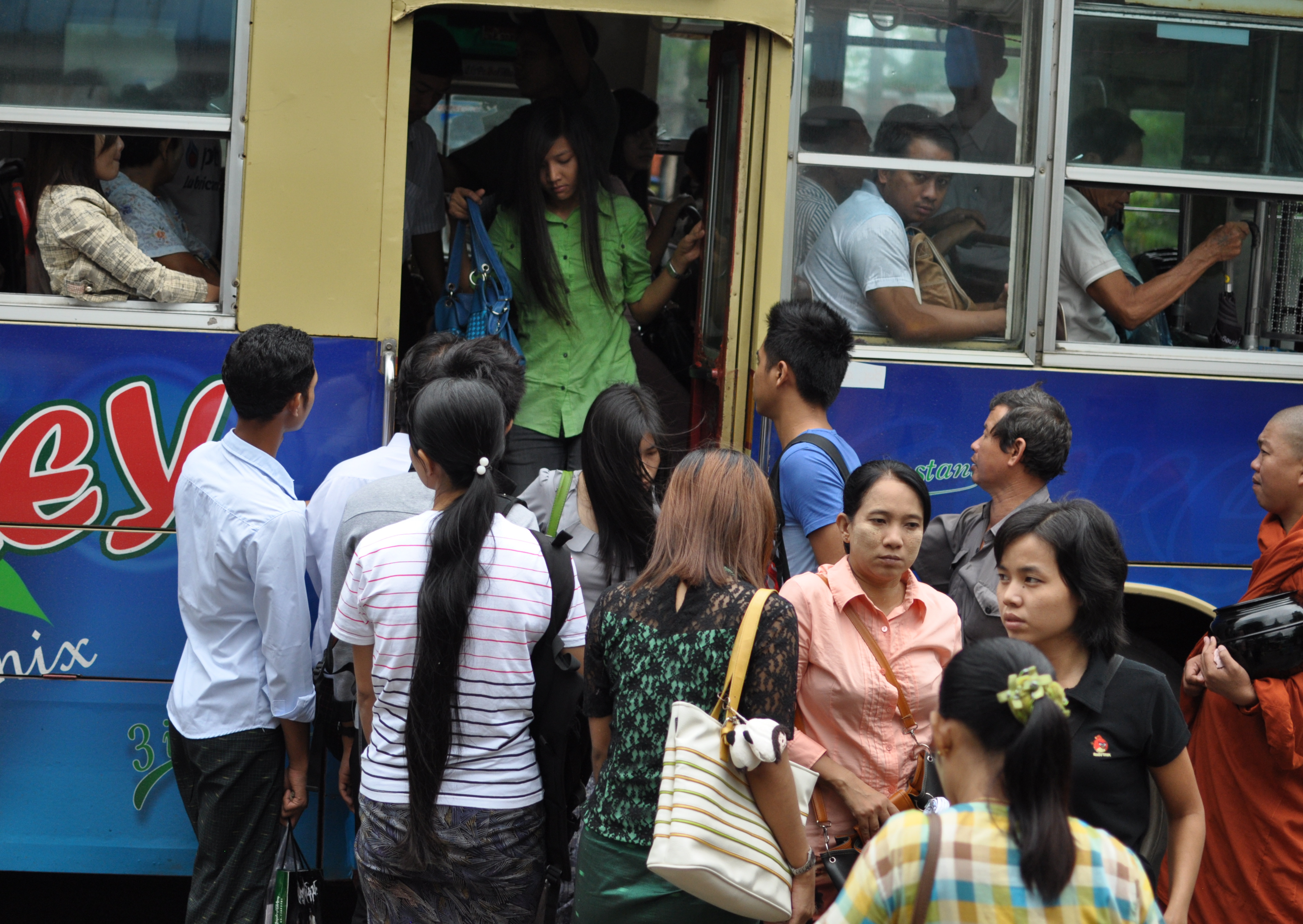
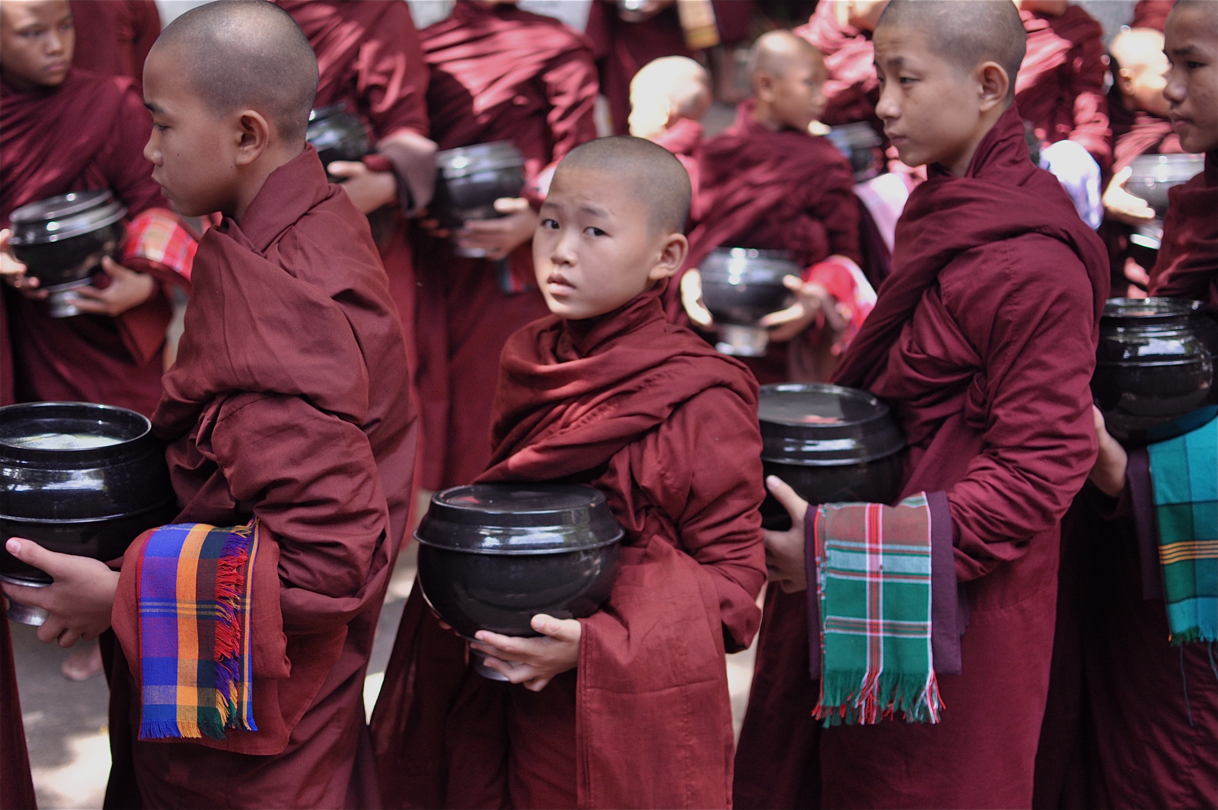
One hundred and fifteen years after Rudyard Kipling famously described it as a land quite unlike any other you know about, Myanmar in July 2013 is still by any standard a surprising and extraordinary place. Nowhere else will you see, especially not in cities, men with red-stained teeth like vampires going to work in skirts and women coat their faces all day with whitish yellow ground bark. On streets, along dusty country lanes and everywhere where there is a beaten track, barefooted monks in maroon robes walk cradling big black glazed bowls in the blazing sun. In the country’s biggest city, Yangon, the tallest building glows like gold looking neither like a hindu temple, orthodox church, chinese pagoda nor mosque but all four combined.
Myanmar a land of a dozen and more major ethnic groups with partial Tibetan origin is on the fringe of Hindustan but shares mountains, plateaus and rivers with Yunnan province. It is a land where India and China meet exchanging not only ideas and merchandise but also genes.
These days it is a nation running with its longyi ( Burmese styled sarong) into the 21st century. When I first saw Burma a few years ago most people had no access to a phone and a trunk call could only be made in specialist telephone shops paying in US dollar. Today, it seems that almost every adult owns a mobile phone and the only shopping to be had at night in Mandalay is to check out the latest phone gadgets at the rows of brightly lit emporium type stores on the main street. At the traffic lights on our way from Yangon airport into the city a man approached our car window clutching copies of the government of the Republic of the Union of Myanmar ” Foreign Investment Rules ” for sale. As the traffic began to move we paid him and took two copies.
Myanmar is on the cusp of change. Better days are coming soon for its people who for now are the poorest in Asia with a GDP per person lower than even that of Bangladesh and only half of Pakistan’s. But no matter how normal Myanmar eventually becomes it will always be different from any country you know.
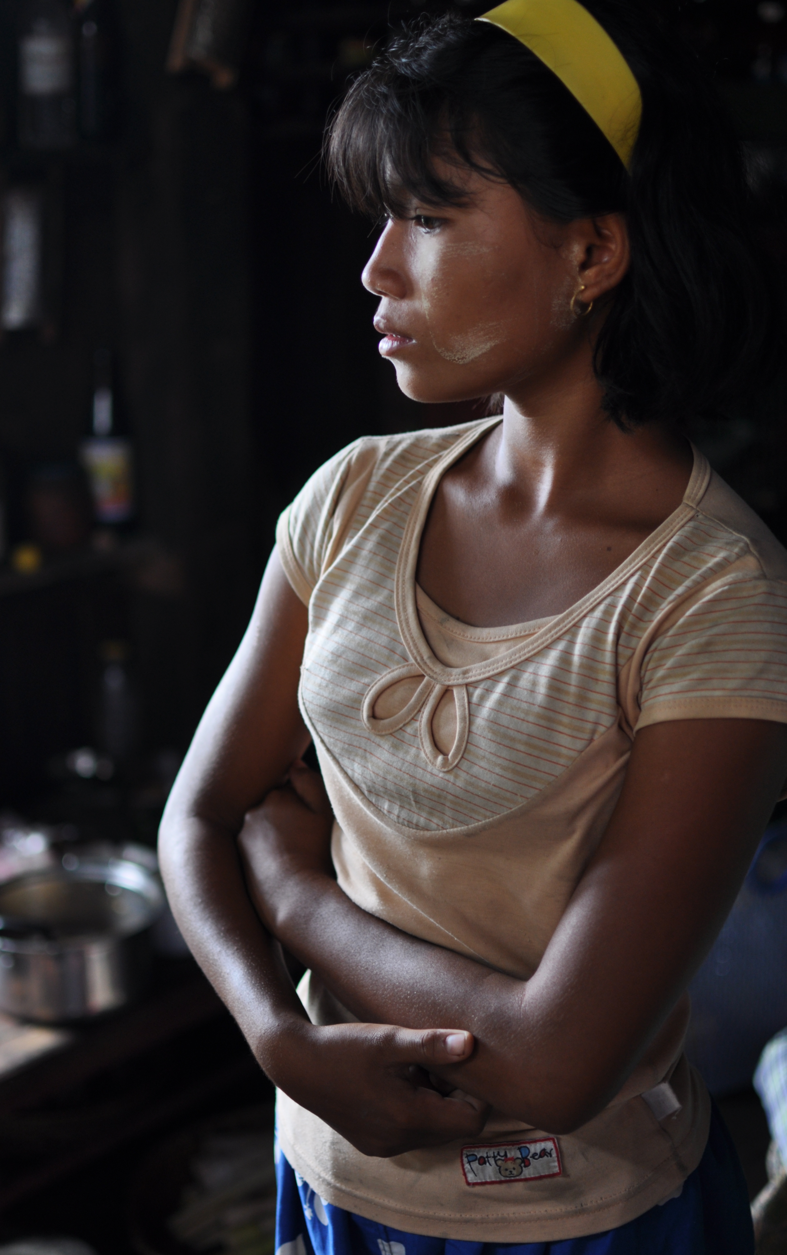
A pensive moment in the kitchen, Pyay
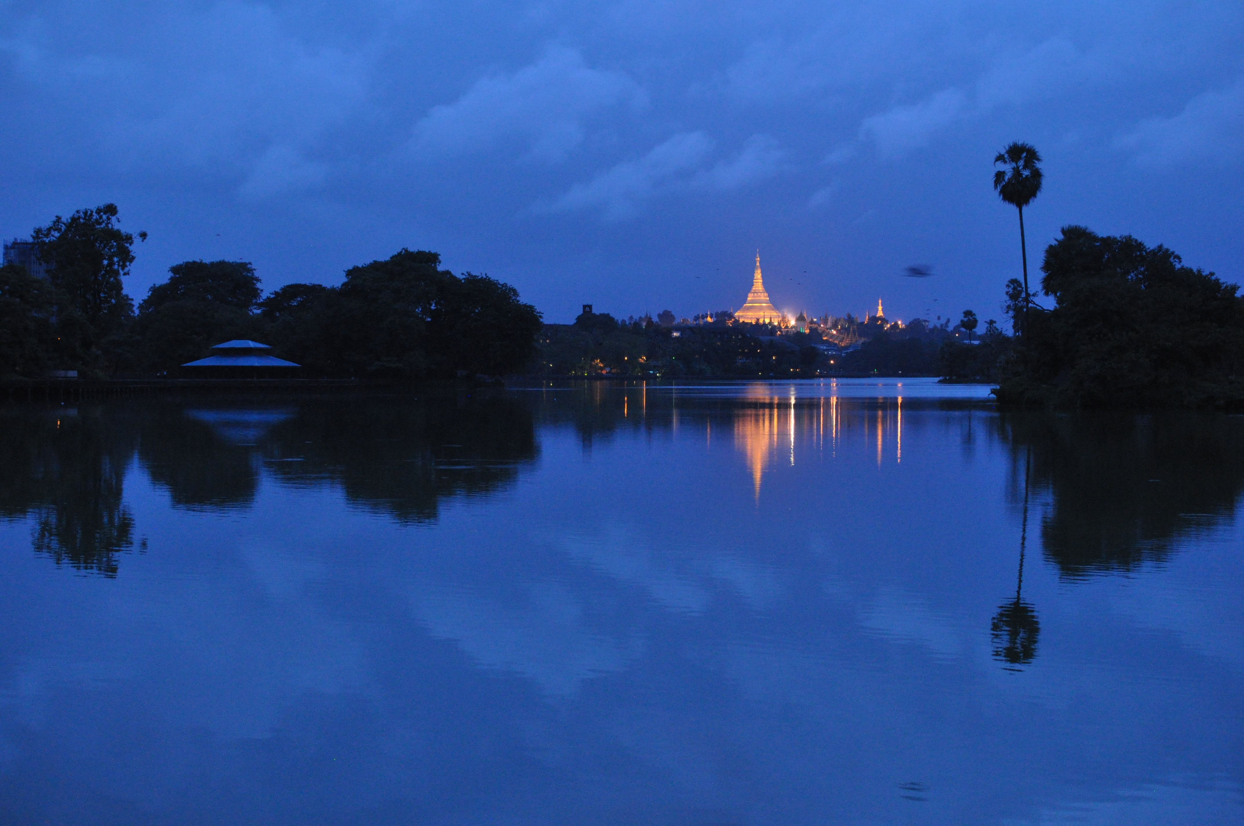
Approaching rain clouds over Shwedagon Pagoda, Yangon
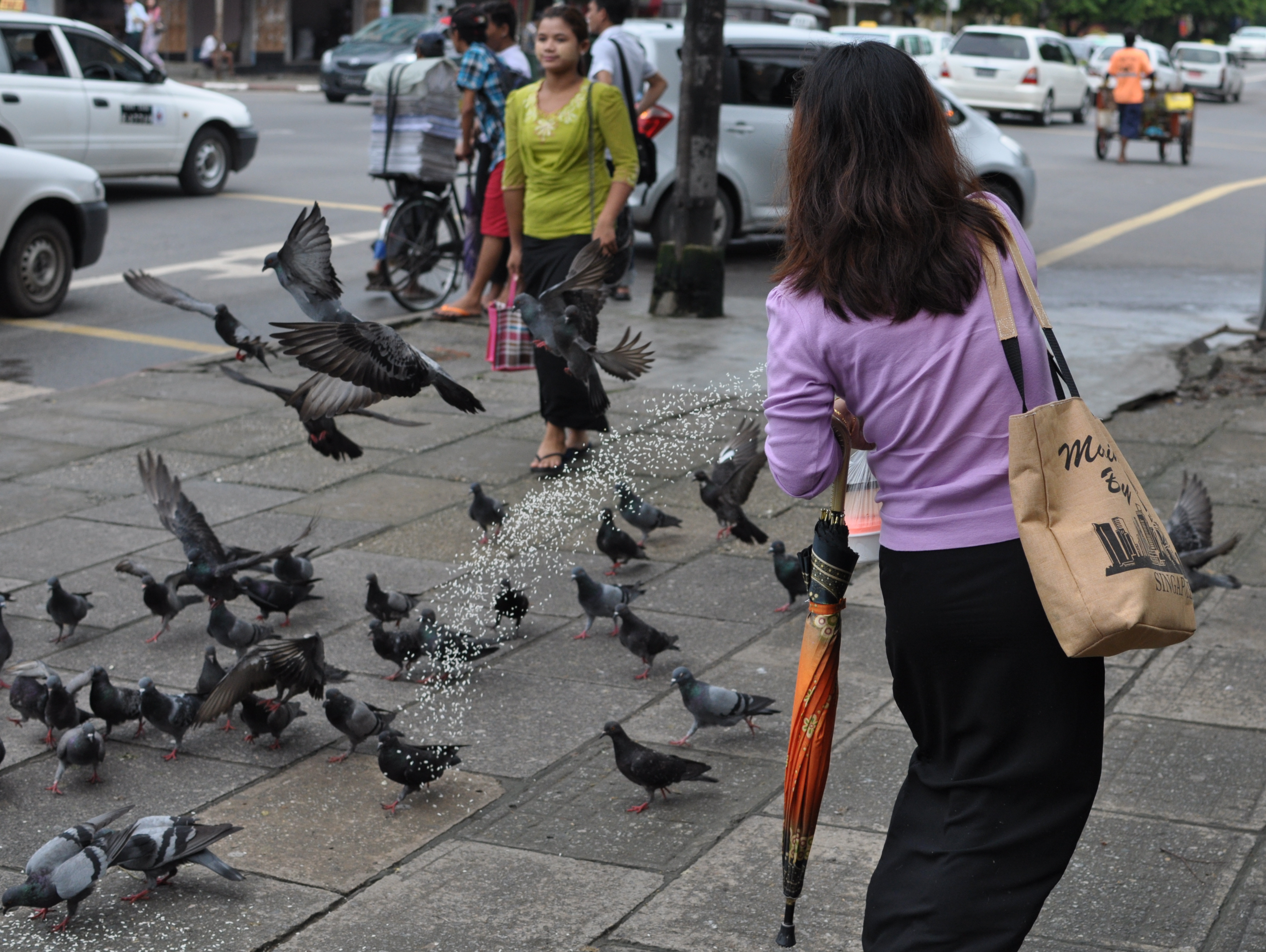
Doing the buddhist thing by loving all beings big and small, Yangon
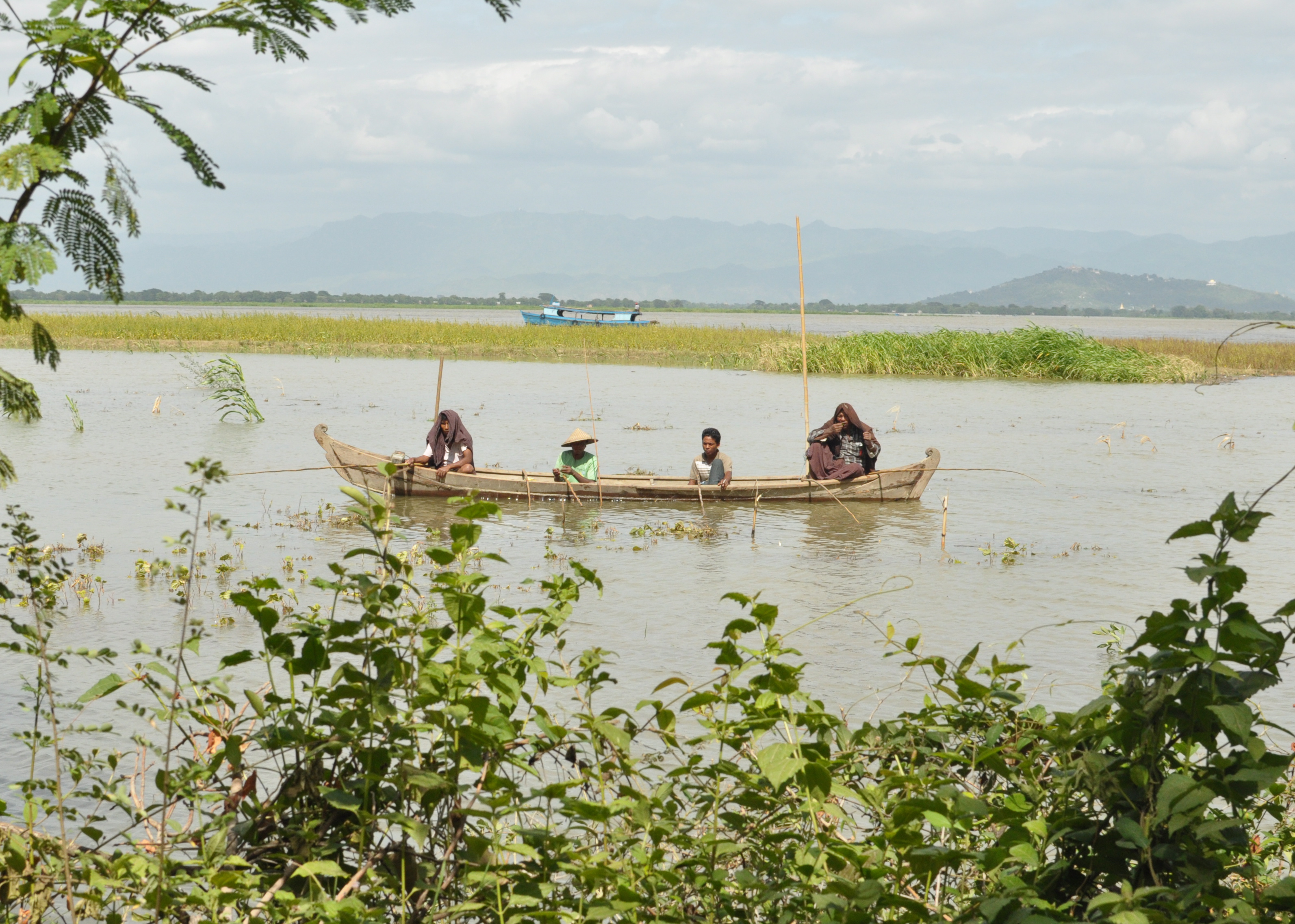
Boats on the Irrawaddy River at Mandalay
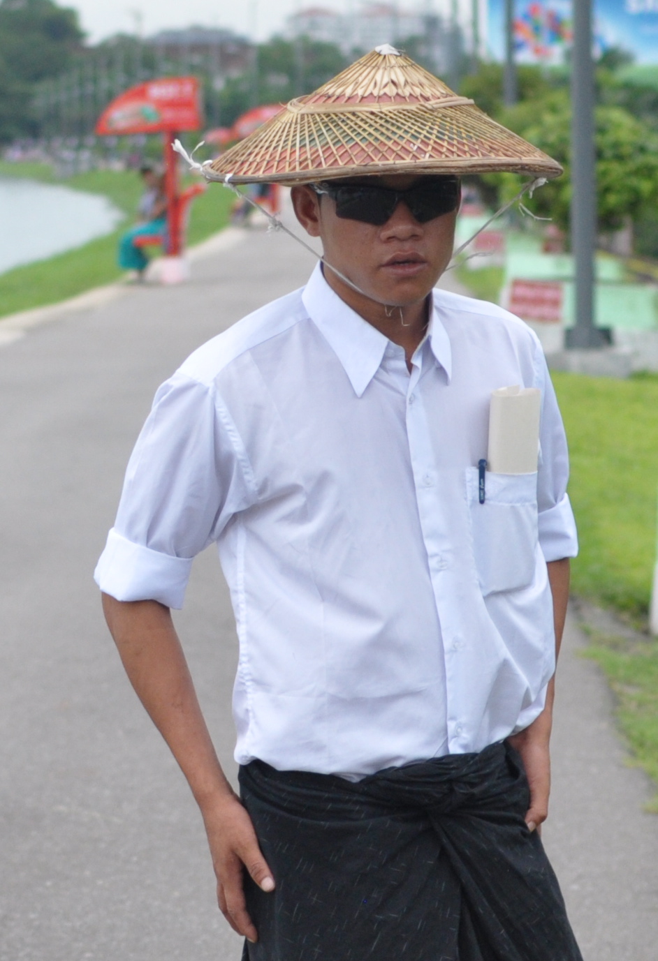
Hats are optional but not the sunglasses in up and coming Yangon
Free concert in the park, Yangon
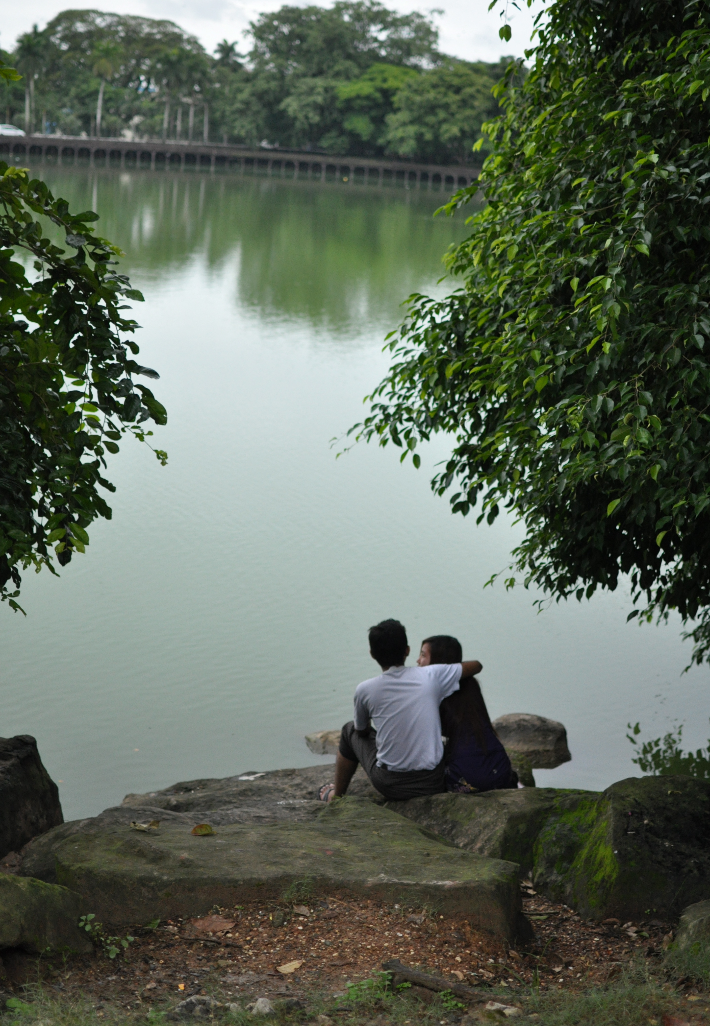
In the late evening after the rain Yangon flaunts its brand of tranquility and beauty
Fast food kiosk, Yangon
Waiting outside a clinic in the old city, Yangon
friendship and umbrellas in the drizzle, Yangon
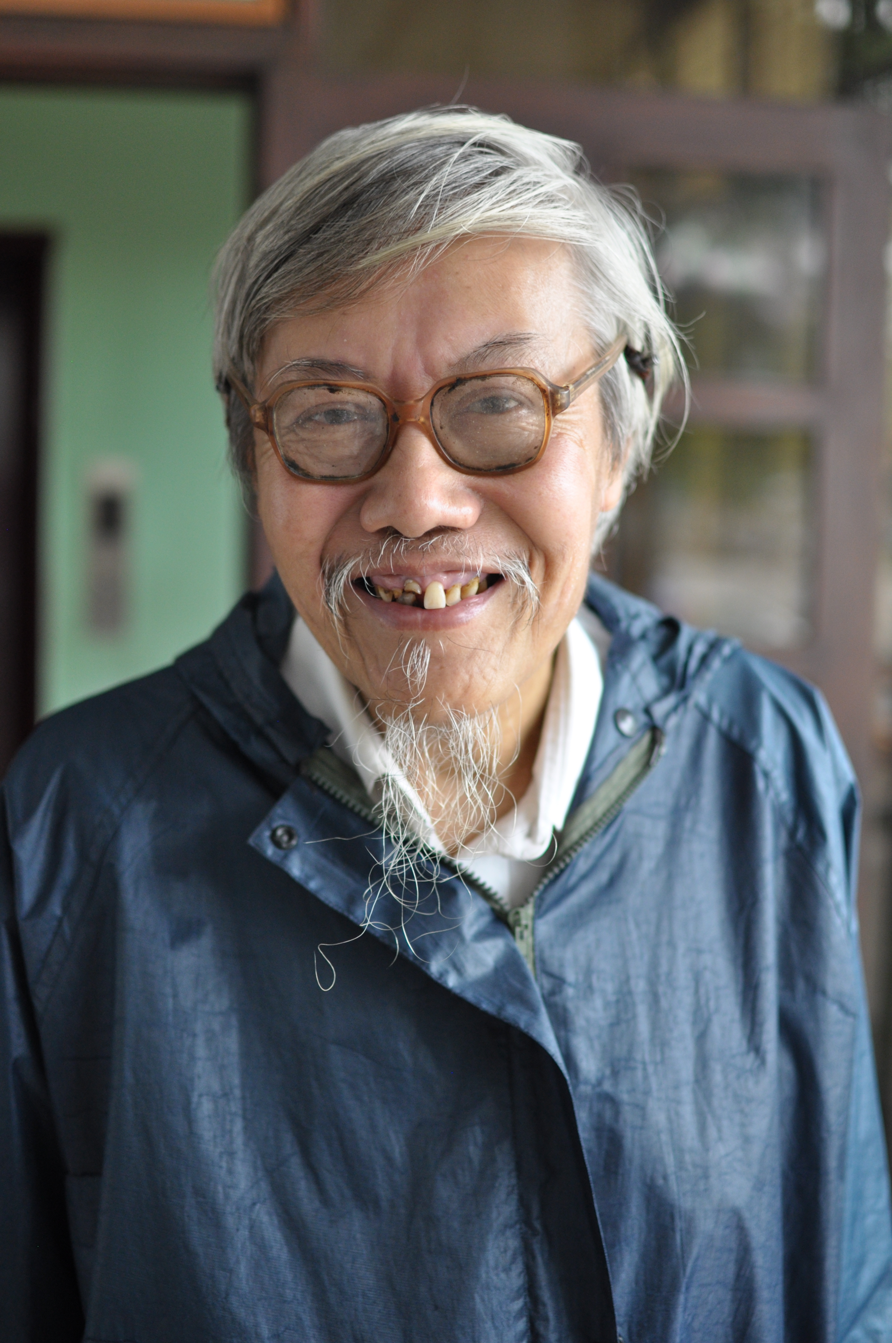
A senior staff from the auditors office during morning tea break in Yangon
Outside the Sagaing hill top pagoda
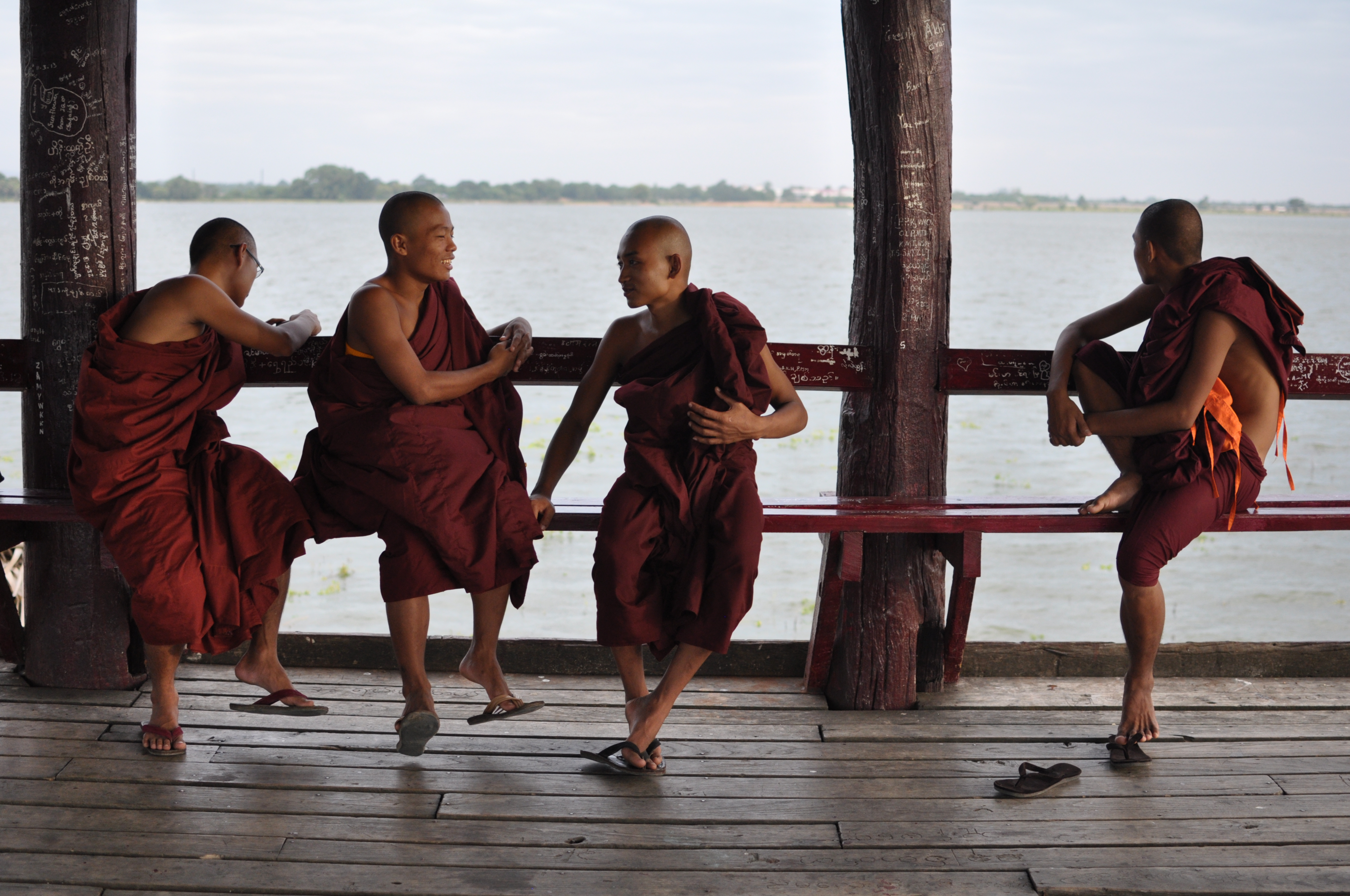
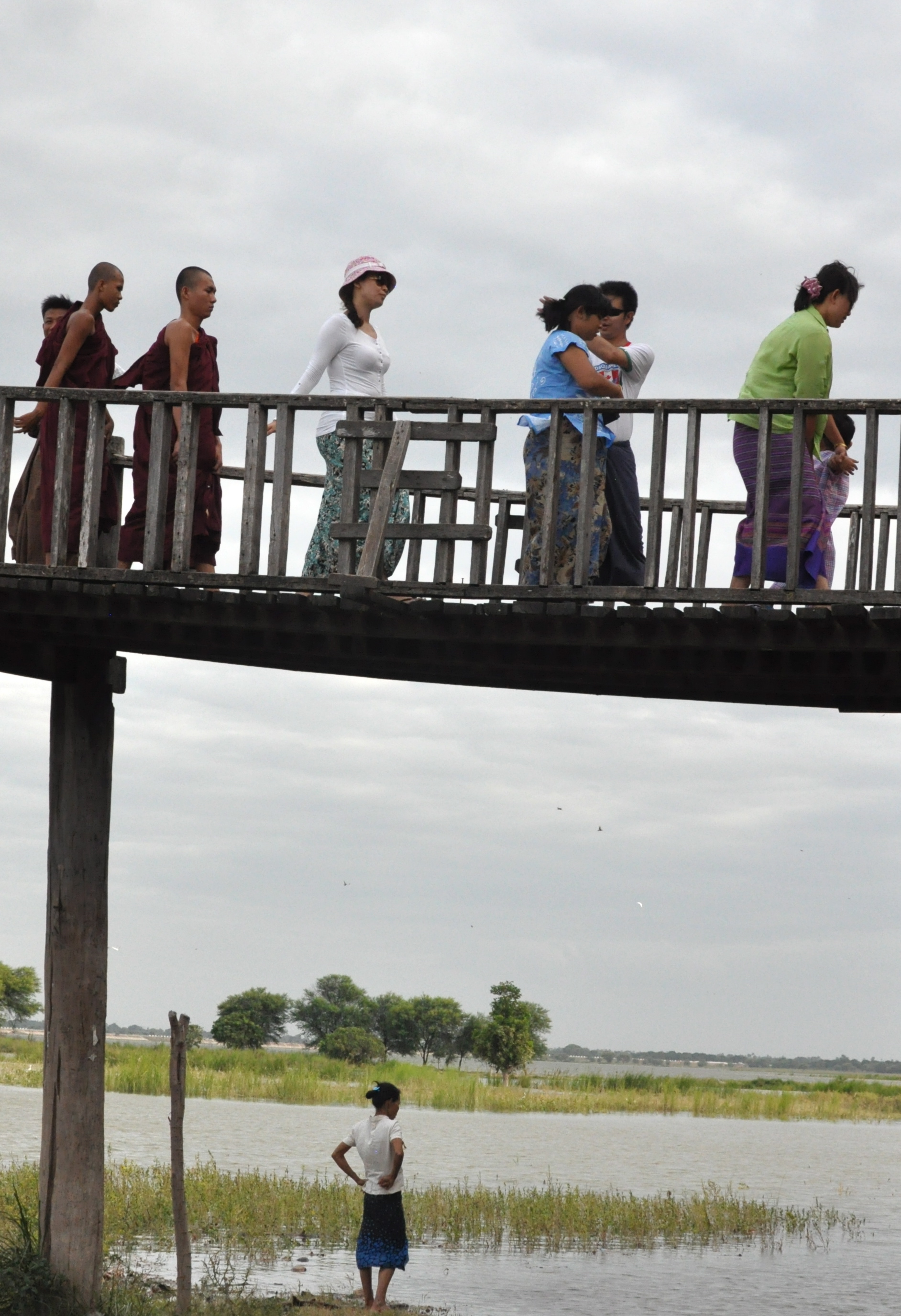
Relaxing monks on the U Bein Bridge
With friends on the U Bein Bridge, Mandalay
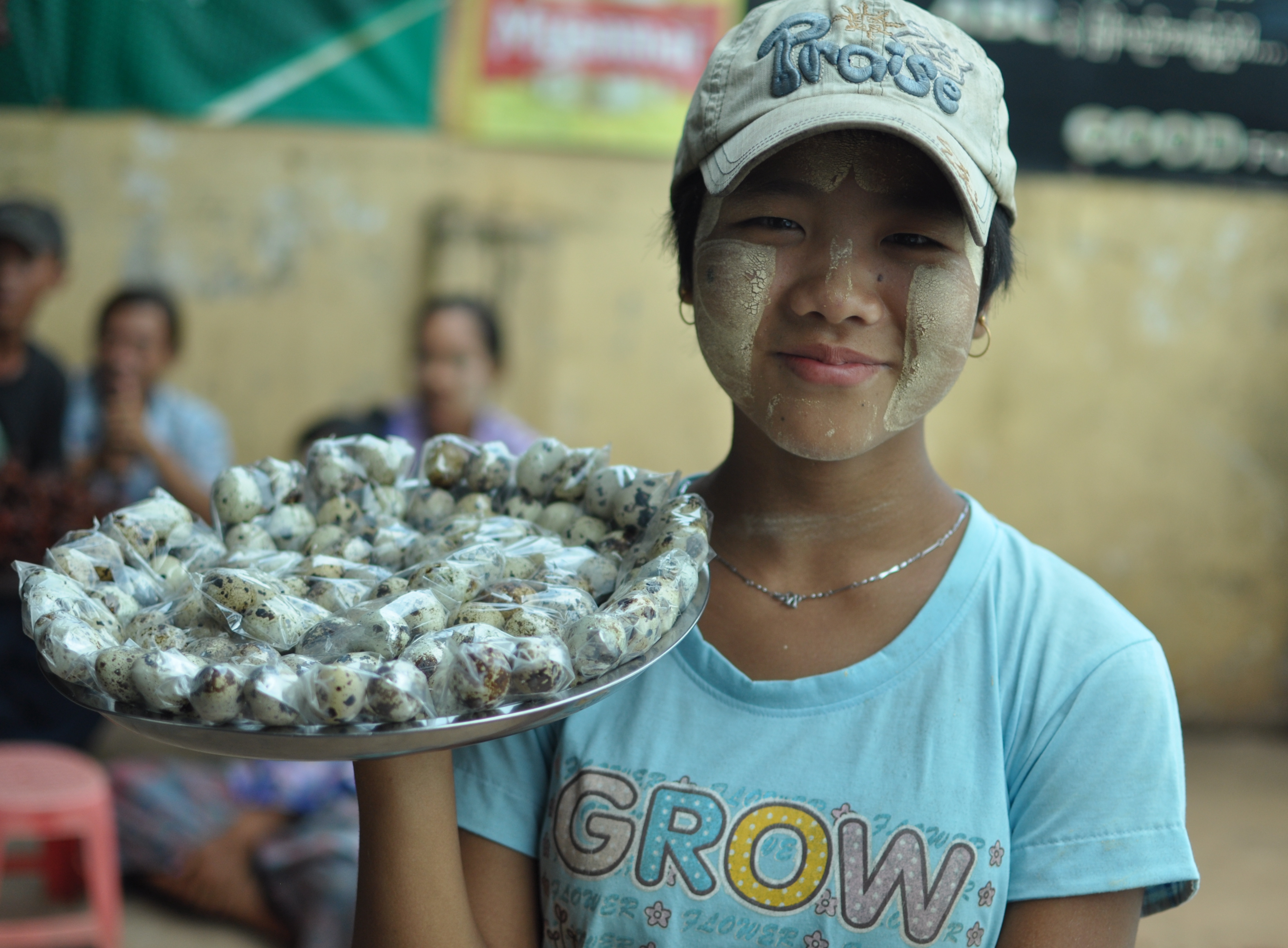
Quail eggs snack vendor in Letpadan a town in south central Myanmar
Cyclist and fisherman on the U Bein Bridge in Mandalay
In front of a factory in north Yangon
Mother and child at their street side stall in Yangon
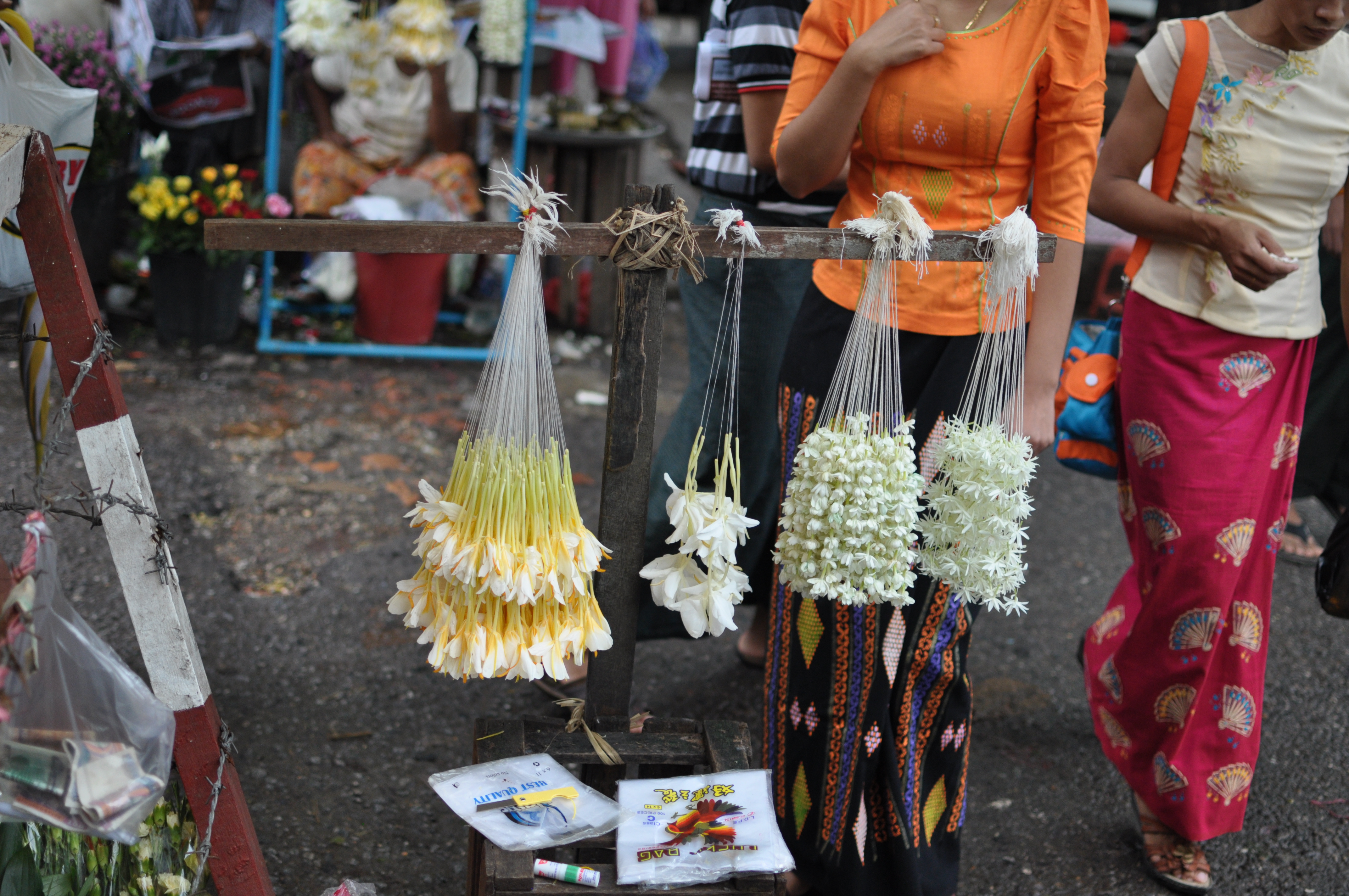
Colourful longyis next to garlands of white flowers, Yangon
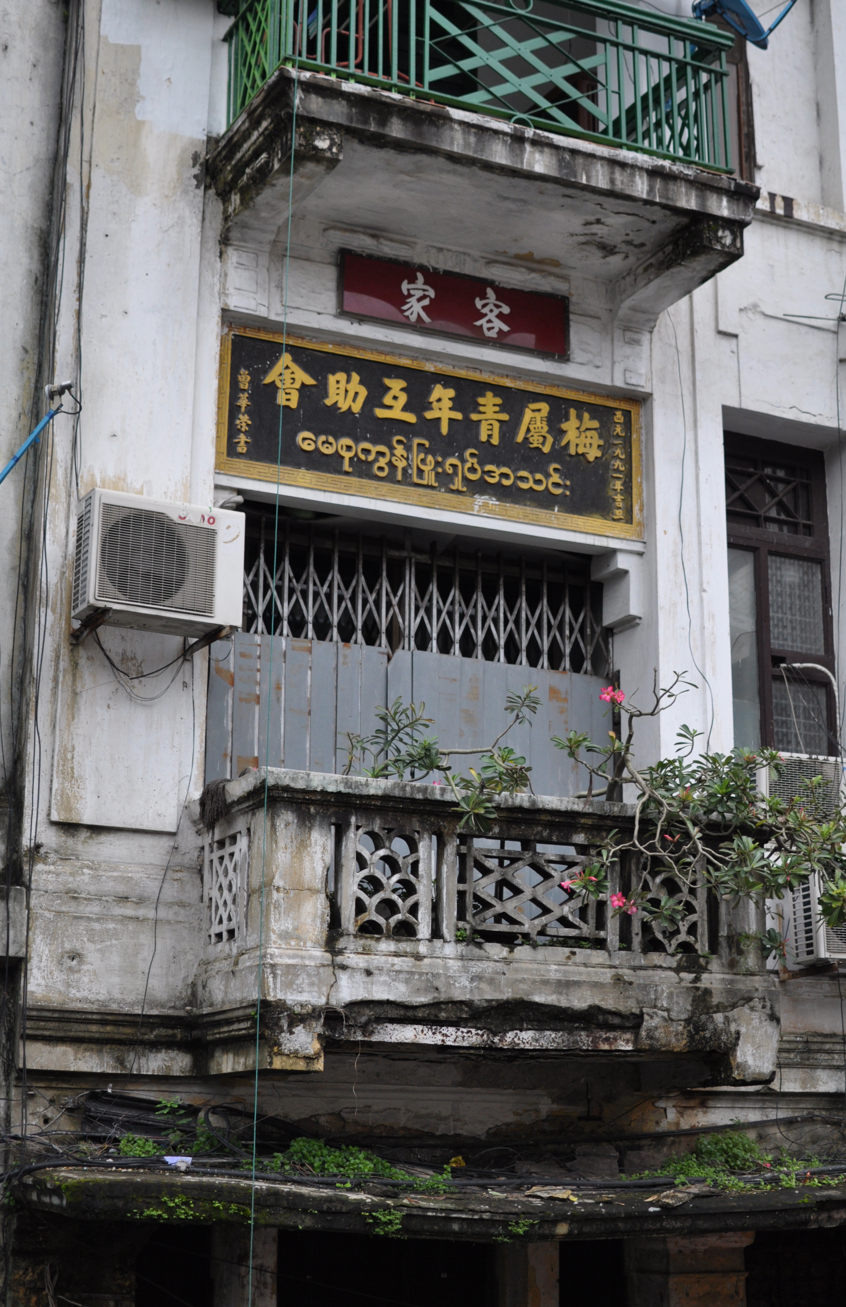
Yangon has a historic chinese community
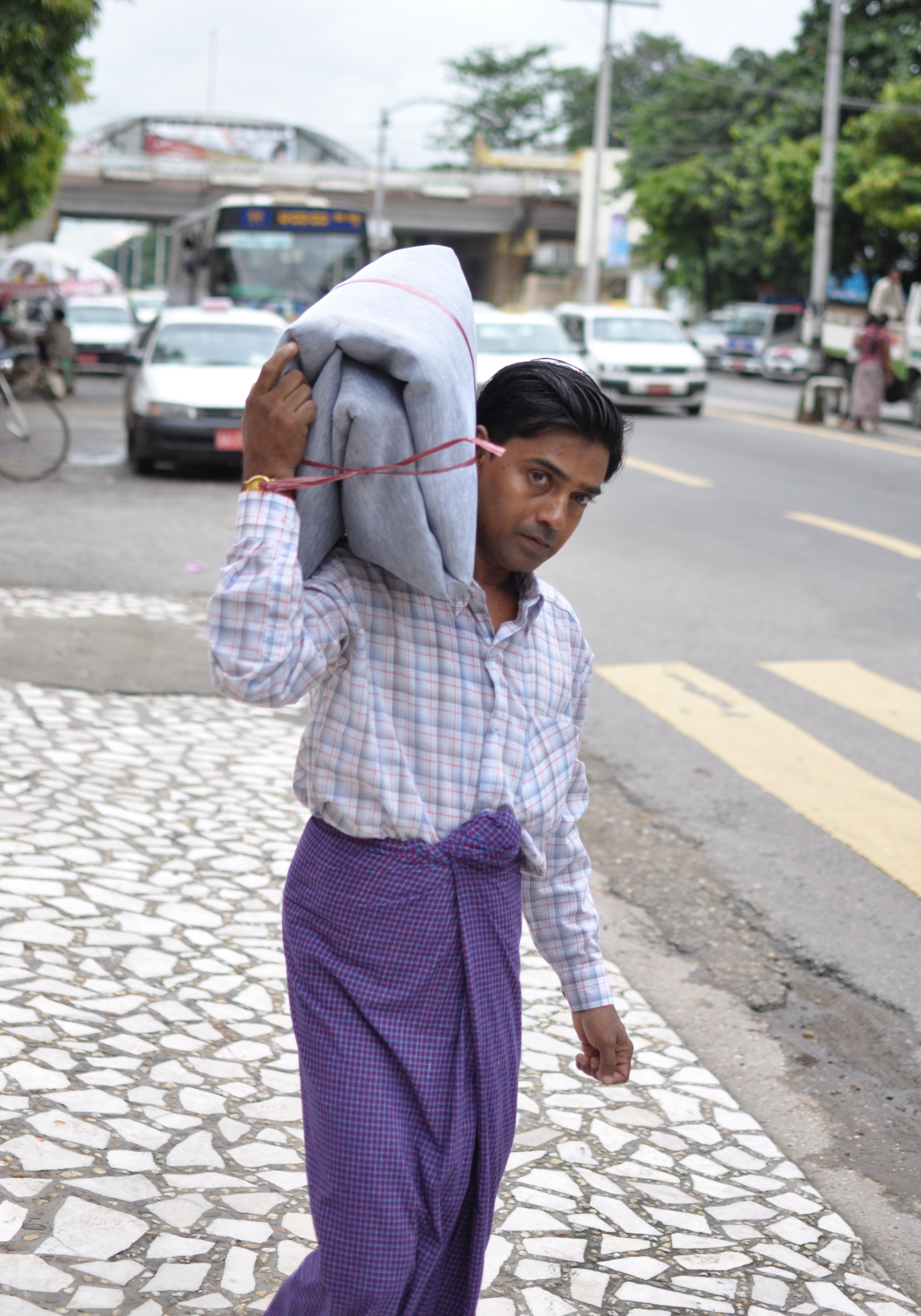
The British when they ruled merged the country with India in 1886 and made Yangon (Rangoon) the capital of Burma. As a province of India, Burma saw a huge influx of migrants making the newcomers the majority race and Hindustani-Urdu their lingua franca in pre war Rangoon.
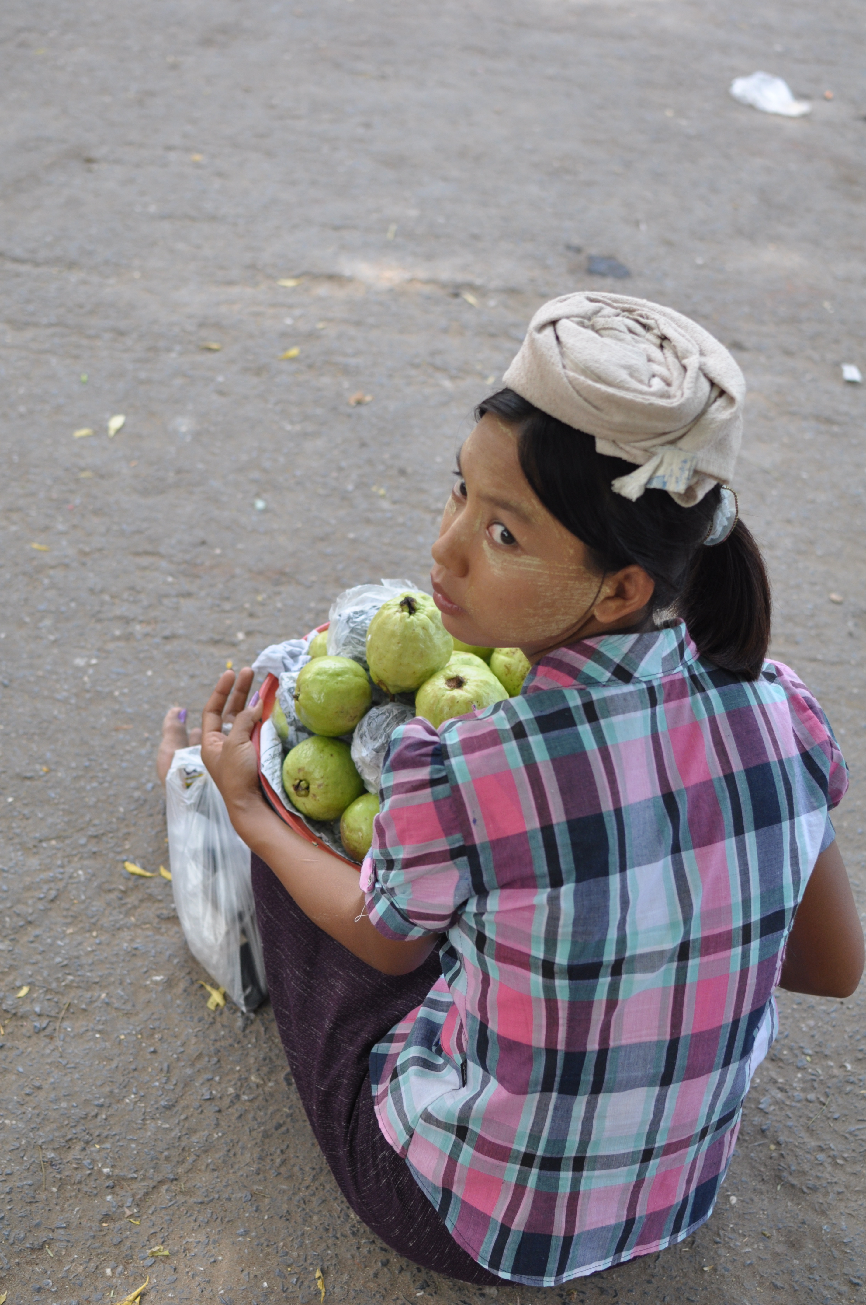
A bashful plantain seller outside a market in Yangon
motorcyclist beside the moat of the Mandalay palace
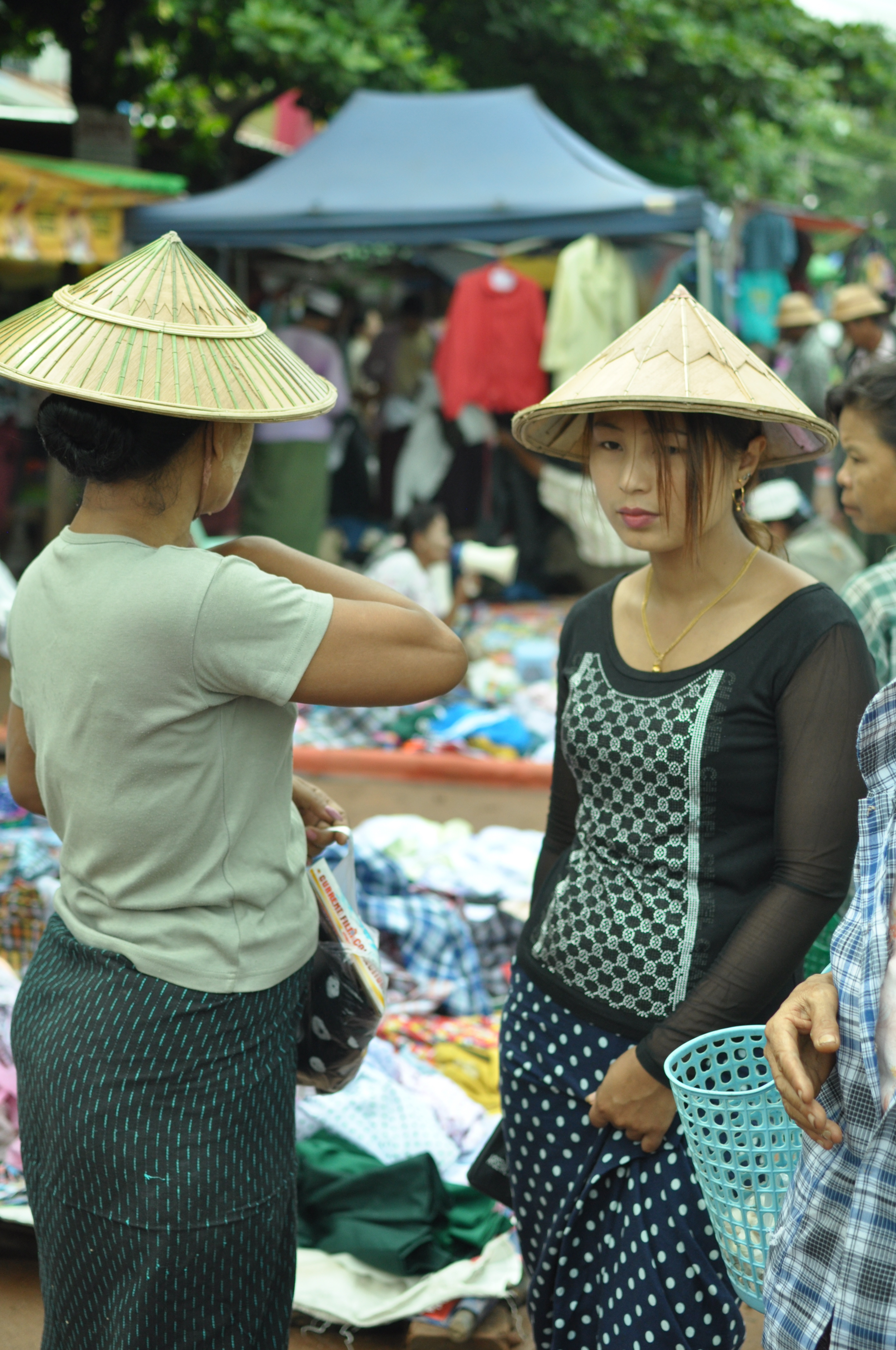
Shopping for clothes at a morning bazaar in Okkan, a dusty market town some 110 km north of Yangon
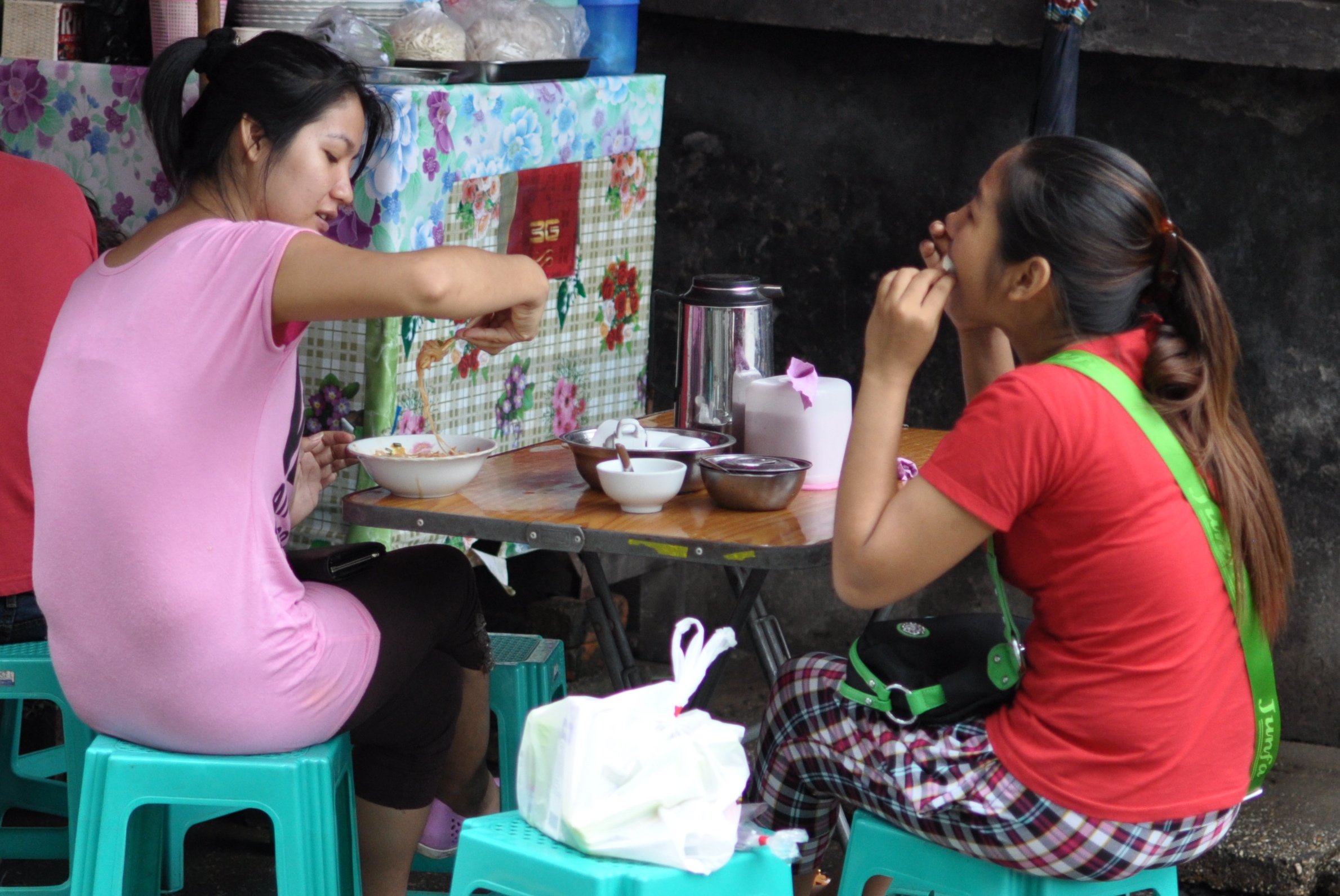
Sitting outside a meal shop in suburban Yangon
Sprigs as shade against the fierce afternoon sun in Mingun, Upper Myanmar
The temple in Mingun bearing its iconic earthquake scars
Well-dressed devotees at the steps of the hill pagoda in Sagaing
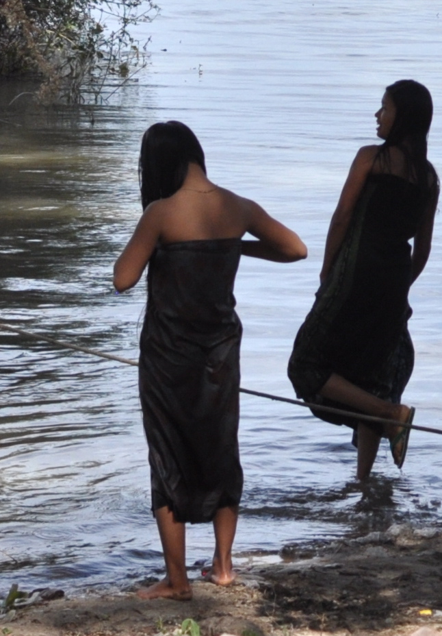
Bathing in the Irrawaddy at Mingun
Bathing monks at Amarapura
Files of novice monks at meal time, Mahagandayon Monastery in Amarapura, Upper Myanmar
The much photographed U Bein Bridge near Mandalay – at 1.2 km the longest teak wood bridge in the world
I rode this train about eight years ago on my first trip to Burma and have since yearned to indulge in a bit of masochistic nostalgia. I had my chance last month. This time I got my friend there to book me a sleeping berth on an overnighter, departing at 3 pm from Yangon’s atmospheric central station and arriving the next morning in Mandalay at around 6.30 am – an almost 17 hour-journey to cover a distance of 432 miles. It is not the cheapest ( and certainly not the easiest) way to travel between the two main cities but for the chance to take in a voyeuristic view of Burma at 40 km/h from a bum-banging and metal-clanging seat a train journey is the only way to go. I can now say I have done it twice and the third time would only happen if Burma bans all domestic flights over its airspace.
Sleeping with Monk : my bedside companion giving me the Clint Eastwood look as the train rolls slowly out of Yangon
One of the few main stops on the journey north. This one is at Bago (Pegu) where we arrived about half hour before sundown.
Little boy at the platform kiosk in Bago
The best place on the train – my seat and table in the dining car
The rice fields look deliciously lush even in dull monsoon weather
At dinner time it can be hard to find a free table in the dining car.
A train attendant taking his meals at Taungoo a former royal town of some size situated at about one third of our journey to Mandalay
Some things are better in Burma in the bad old days. 3 in 1 coffee and tea, known as coffee mix and tea mix, have replaced universally the original and traditional brews.
Someone’s backyard in the outskirts of Mandalay
All photographs copyright Kerk Boon Leng July 2013
Nestled amongst steep hills and semi-bucolic countryside, the small city of Jeonju is the capital of North Cholla province ( Jeollabuk-do in Korean) in south western South Korea.
The city is something of a travel gem that deservedly should be on the itinerary of every foreign visitor to Korea. But as a tourism late bloomer few overseas folks have heard of its name until quite recently. The 1985 edition of Lonely Planet guidebook on Korea left out Jeonju completely. Even harder to understand is that for a place that was supposed to be an important cultural centre when Korea was ruled by the great Chosun (Yi) dynasty its name is not even found in English language history books on Korea except for a brief one time mention as a city that was occupied in 1894 by armed and highly pissed-off peasants during the Donghak Rebellion, an event that led to war between China and Japan.
Simon Winchester in his 1988 book about his journey on foot across the length of South Korea described Jeonju (then spelt Chonju) as “a town of very little distinction and even less beauty”.
Today’s Jeonju has a village in its downtown area that is a cross between a heritage suburb and a cultural theme park with the country’s biggest concentration of traditional houses of curvy oriental tiled roofs built in the 1930s called hanok. Jeonju also has an amazing dining scene and is famous all over the country for its version of the bibimbap which uses a cornucopia of wild ingredients from the surrounding woods, mountains and fields.